Gardens of Sallust, Rome
Map
Gallery
Facts and practical information
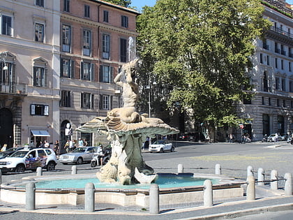
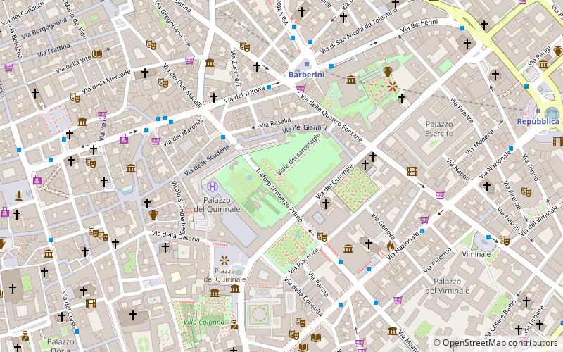
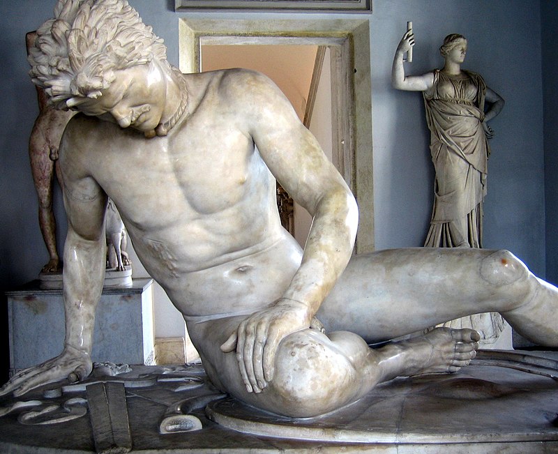
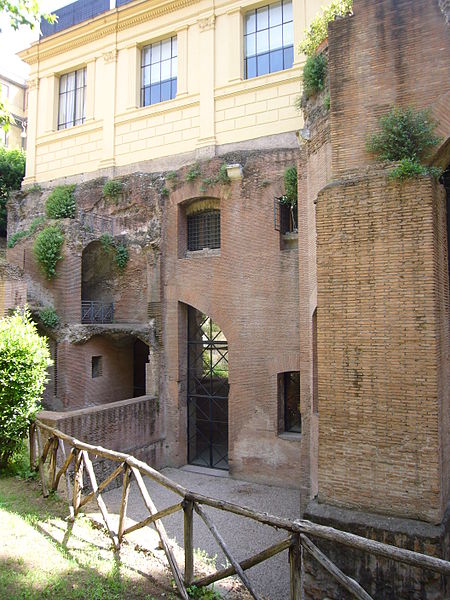
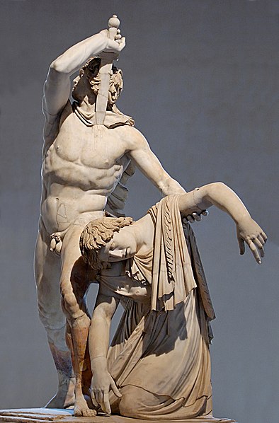
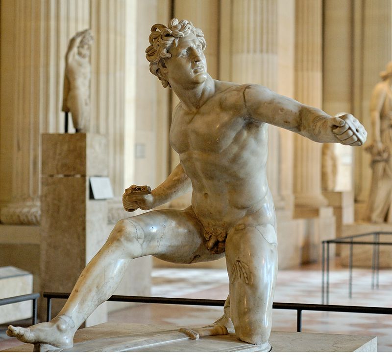
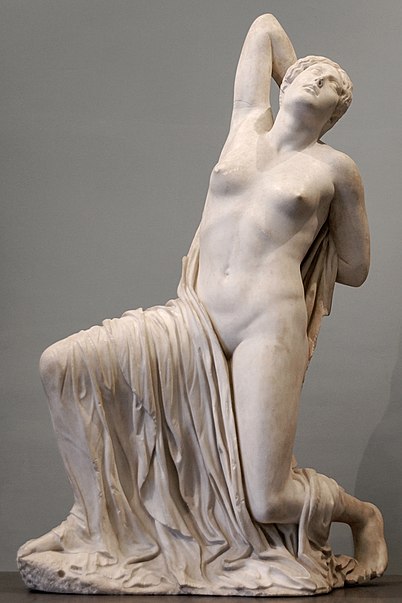
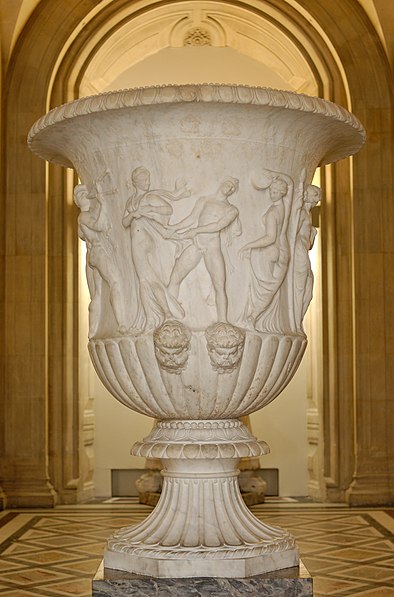
The Gardens of Sallust was an ancient Roman estate including a landscaped pleasure garden developed by the historian Sallust in the 1st century BC. It occupied a large area in the northeastern sector of Rome, in what would become Region VI, between the Pincian and Quirinal hills, near the Via Salaria and later Porta Salaria. The modern rione is now known as Sallustiano. ()
Address
ColonnaRome
ContactAdd
Social media
Add
Day trips
Gardens of Sallust – popular in the area (distance from the attraction)
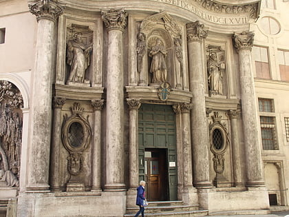
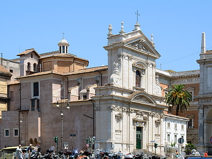
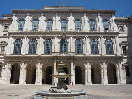
Nearby attractions include: Via Veneto, Palazzo Barberini, San Carlo alle Quattro Fontane, Santa Maria della Vittoria.
Frequently Asked Questions (FAQ)
Which popular attractions are close to Gardens of Sallust?
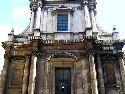
Nearby attractions include San Basilio agli Orti Sallustiani, Rome (1 min walk), Capuchin Crypt, Rome (1 min walk), Santa Maria della Concezione dei Cappuccini, Rome (2 min walk), Fontana delle Api, Rome (2 min walk).
How to get to Gardens of Sallust by public transport?
The nearest stations to Gardens of Sallust:
Bus
Metro
Trolleybus
Tram
Train
Light rail
Ferry
Bus
- Barberini • Lines: 150F, 160, 492, 53, 590, 61, 62, 63, 80, 83, 85, C3, n1, n12, n25, n4, n5 (2 min walk)
- Veneto/Emilia • Lines: 160, 53, 61, 63, 83, C3, n1, n25, n4 (2 min walk)
Metro
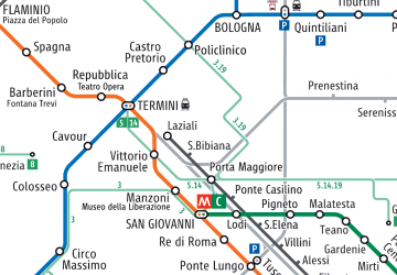
- Barberini • Lines: A (3 min walk)
- Spagna • Lines: A (8 min walk)
Trolleybus
- XX Settembre/Min. Finanze • Lines: 90 (10 min walk)
- Volturno/Cernaia • Lines: 90 (13 min walk)
Tram
- Termini • Lines: 14, 5 (16 min walk)
- Farini • Lines: 14, 5 (18 min walk)
Train
- Roma Termini (19 min walk)
Light rail
- Roma Termini • Lines: Fl6, Fl7 (19 min walk)
- Flaminio • Lines: Fc3 (23 min walk)
Ferry
- Ponte Cavour (20 min walk)
- Sant'Angelo • Lines: Battelli di Roma (29 min walk)



 Metro / Tram / Rail

