Santa Illuminata, Massa Martana
Map
![Santa Illuminata location map](https://tzmedia.b-cdn.net/media/images/static-maps/it/42_78277_12_49499.jpg)
Map
![Santa Illuminata location map](https://tzmedia.b-cdn.net/media/images/static-maps/it/42_78277_12_49499.jpg)
Facts and practical information
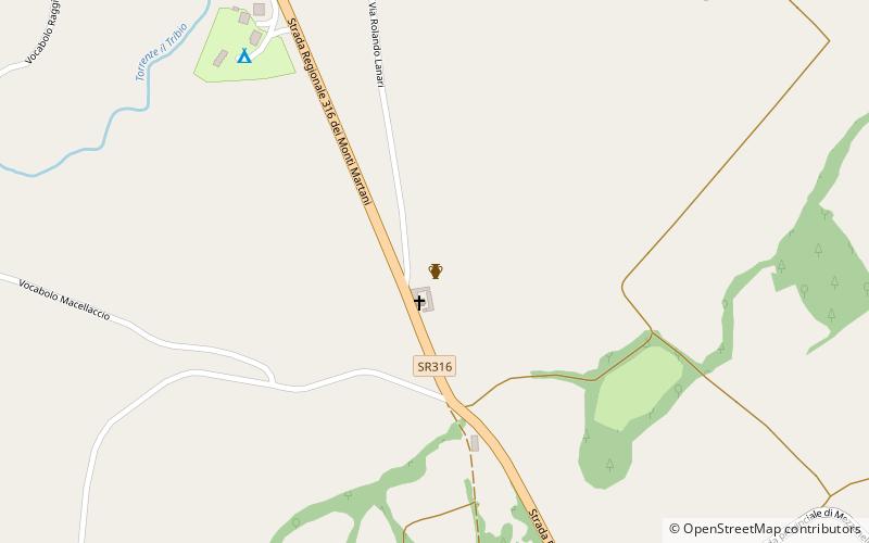
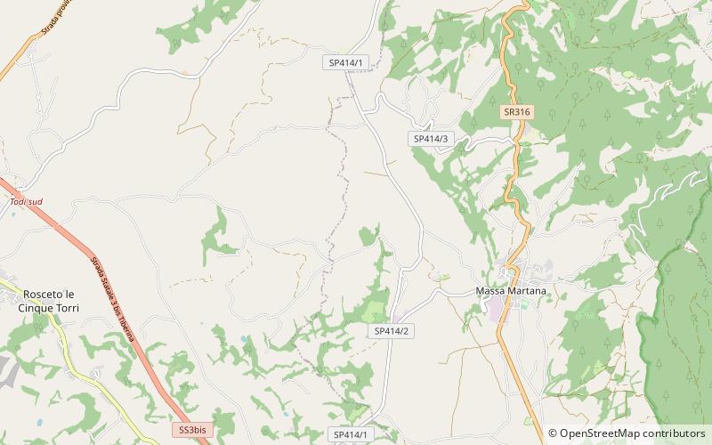
The abbey of Santa Illuminata is a Romanesque, former Camaldolese monastery and church outside of the town of Massa Martana, province of Perugia, Umbria, Italy. ()
Coordinates: 42°46'58"N, 12°29'42"E
Address
Massa Martana
ContactAdd
Social media
Add
Day trips
Santa Illuminata – popular in the area (distance from the attraction)
Nearby attractions include: Cathedral, Santa Maria della Consolazione, San Fortunato, Palazzo del Capitano.