Clivus Scauri, Rome
Map
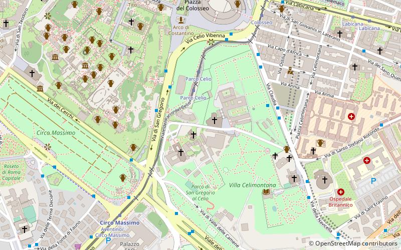
Map

Facts and practical information
The Clivus Scauri was an ancient Roman road that originally branched off from the road that connected the Circus Maximus to the Colosseum along the depression between the Palatine and Caelian hills of Rome. It followed the east side of the latter, up to its summit, which is today known as Piazza della Navicella. In the initial section the road has retained the old name. It becomes Via di S. Paolo della Croce further up the hill. ()
Address
CelioRome
ContactAdd
Social media
Add
Day trips
Clivus Scauri – popular in the area (distance from the attraction)
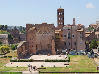
Nearby attractions include: Colosseum, Arch of Constantine, Domus Augustana, Circus Maximus.
Frequently Asked Questions (FAQ)
Which popular attractions are close to Clivus Scauri?
Nearby attractions include Santi Giovanni e Paolo, Rome (1 min walk), San Gregorio Magno al Celio, Rome (2 min walk), Temple of Claudius, Rome (4 min walk), San Tommaso in Formis, Rome (5 min walk).
How to get to Clivus Scauri by public transport?
The nearest stations to Clivus Scauri:
Tram
Bus
Metro
Ferry
Light rail
Train
Tram
- Parco Celio • Lines: 3, 8 (3 min walk)
- Colosseo • Lines: 3, 8 (8 min walk)
Bus
- S. Gregorio • Lines: 118, 51, 673, 75, 81, 85, 87, C3, n10, n11, n2, n2;nMB (4 min walk)
- Cerchi/Porta Capena • Lines: 628, 85, 87, C3 (5 min walk)
Metro
- Circo Massimo • Lines: B (7 min walk)
- Colosseo • Lines: B (9 min walk)
Ferry
- Isola Tiberina • Lines: Battelli di Roma (22 min walk)
Light rail
- Roma Porta San Paolo • Lines: Fc2 (24 min walk)
- Termini Laziali • Lines: Fc1 (27 min walk)
Train
- Roma Termini (29 min walk)

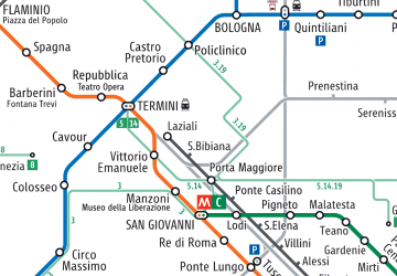 Metro / Tram / Rail


