White Mountain National Forest: Nature
Places and attractions in the Nature category
Lakes of the Clouds
The Lakes of the Clouds are a set of tarns located at the 5,032 ft col between Mount Monroe and Mount Washington in the White Mountains of the U.S. state of New Hampshire.
Lost River Reservation
The Lost River Reservation is a protected area with a series of caves along a gorge in the White Mountains in Woodstock, New Hampshire, United States.
Mount Madison
Mount Madison is a 5,367-foot mountain in the Presidential Range of New Hampshire in the United States. It is named after the fourth U.S. President, James Madison.
Kearsarge North
Kearsarge North is a mountain located about 4 miles northeast of North Conway, Carroll County, New Hampshire. The U.S. Board on Geographic Names accepted the name "Pequawket Mountain" in 1915 but it was renamed Kearsarge North in 1957.
Mount Lincoln
Mount Lincoln is a 5,089-foot-high mountain within the Franconia Range of the White Mountains of New Hampshire. Lincoln is located between Little Haystack and Mount Lafayette. All three overlook Franconia Notch. The west side of Lincoln drains into the main stem of the Pemigewasset River.
Mount Liberty
Mount Liberty is a 4,459-foot-high mountain in the White Mountains of New Hampshire. Overlooking Franconia Notch, it is part of Franconia Ridge, the second highest mountain group in the Whites after the Presidential Range.
Mount Jefferson
Mount Jefferson is located in Coos County, New Hampshire, and is the third highest mountain in the state. The mountain is named after Thomas Jefferson, the third president of the United States, and is part of the Presidential Range of the White Mountains.
Little Haystack Mountain
Little Haystack Mountain is a peak on the Franconia Range of the White Mountains located in Grafton County, New Hampshire. It is flanked to the north by Mount Lincoln and to the southwest by Mount Liberty.
Mount Garfield
Mount Garfield is a mountain located in Grafton County, New Hampshire. The mountain is part of the White Mountains. Mt. Garfield is flanked to the east by South Twin Mountain, and to the southwest along Garfield Ridge by Mount Lafayette.
Mount Pierce
Mount Pierce is a mountain in the Presidential Range in the White Mountains of New Hampshire that is approximately 4,310 feet high.
Mount Guyot
Mount Guyot is a mountain located in Grafton County, New Hampshire. The mountain is named after Professor Arnold H. Guyot of Princeton University, and is part of the Twin Range of the White Mountains.
Mount Monroe
Mount Monroe is a 5,372-foot-high mountain peak southwest of Mount Washington in the Presidential Range of the White Mountains in New Hampshire, United States.
Mount Bond
Mount Bond is a mountain located in Grafton County, New Hampshire, United States. The mountain is named after Professor George P. Bond of Harvard University, and is the southernmost extension of the Twin Range of the White Mountains. Mount Bond is flanked to the north by Mount Guyot.
Mount Eisenhower
Mount Eisenhower, formerly Mount Pleasant, is a mountain in the Presidential Range in the White Mountains of New Hampshire approximately 4,760 ft high. Named after President Dwight D. Eisenhower, its summit offers a 360° view. It is inaccessible by road.
Loon Mountain
Loon Mountain is a mountain in Lincoln and Livermore, New Hampshire, in Grafton County. It is in the White Mountain National Forest.
Mount Webster
Mount Webster is a mountain located on the border between Coos County and Carroll County, New Hampshire. The mountain, formerly called Notch Mountain, is named after Daniel Webster, and is the south-westernmost of the Presidential Range of the White Mountains.
Mount Washington State Park
Mount Washington State Park is a 60.3-acre parcel perched on the summit of Mount Washington, New Hampshire, the highest peak in the northeastern United States.
Mount Whiteface
Mount Whiteface is a 4,019 ft mountain located in Grafton County, New Hampshire. The mountain is part of the Sandwich Range of the White Mountains. Whiteface is flanked to the northwest by Mount Tripyramid, and to the northeast by Mount Passaconaway. Whiteface is on the eastern border of the Sandwich Range Wilderness.
Mount Clay
Mount Clay is a peak located in Thompson and Meserve's Purchase in Coos County in the Presidential Range of the White Mountains of New Hampshire.
Wildcat Mountain
Wildcat Mountain is a mountain located in Coos County, northern New Hampshire, United States. The mountain is part of the Carter-Moriah Range of the White Mountains, on the east side of Pinkham Notch.
Mount Carrigain
Mount Carrigain is a mountain located in Grafton County, New Hampshire. The mountain is named after Phillip Carrigain, NH Secretary of State, and is on the south side of the Pemigewasset Wilderness, the source of the East Branch of the Pemigewasset River in the heart of the White Mountains, between Franconia Notch and Crawford Notch.
Kinsman Mountain
Kinsman Mountain is a mountain located in Grafton County, New Hampshire. It is named after Nathan Kinsman, an early resident of Easton, New Hampshire, and is part of the Kinsman Range of the White Mountains.
Mount Tom
Mount Tom is a mountain located in Grafton County, New Hampshire, about 1.5 miles southwest of the height of land of Crawford Notch.
Boott Spur
Boott Spur is a minor peak located in Coos County, New Hampshire. The mountain is named after Dr. Francis Boott, and is part of the Presidential Range of the White Mountains.
South Baldface
South Baldface is a 3,547-foot mountain in the town of Chatham, New Hampshire in the eastern White Mountains. It gets its name from its steep barren eastern face.
Mount Moriah
Mount Moriah is a mountain located in Coos County, New Hampshire. The mountain is part of the Carter-Moriah Range of the White Mountains, which runs along the northern east side of Pinkham Notch.
Galehead Mountain
Galehead Mountain is a mountain located in Grafton County, New Hampshire. The mountain is part of the Twin Range of the White Mountains. Galehead is flanked to the east by South Twin Mountain, and to the west by Mount Garfield. The summit is reached by the Frost Trail which departs from Galehead Hut.
Mount Passaconaway
Mount Passaconaway is a 4,043 ft mountain in the Sandwich Range Wilderness of the White Mountain National Forest in Grafton County, New Hampshire, near Waterville Valley.
Presidential Range
The Presidential Range is a mountain range located in the White Mountains of the U.S. state of New Hampshire. Containing the highest peaks of the Whites, its most notable summits are named for American presidents, followed by prominent public figures of the 18th and 19th centuries.
Mount Field
Mount Field is a mountain located in Grafton County, New Hampshire. The mountain is named after Darby Field, who in 1642 made the first known ascent of Mount Washington. Mount Field is the highest peak of the Willey Range of the White Mountains. Mt. Field is flanked to the northwest by Mount Tom, and to the southwest by Mount Willey. Mt.
Carter Dome
Carter Dome, or simply The Dome, is a mountain located in Coos County, New Hampshire. The mountain is part of the Carter-Moriah Range of the White Mountains, which runs along the northern east side of Pinkham Notch.
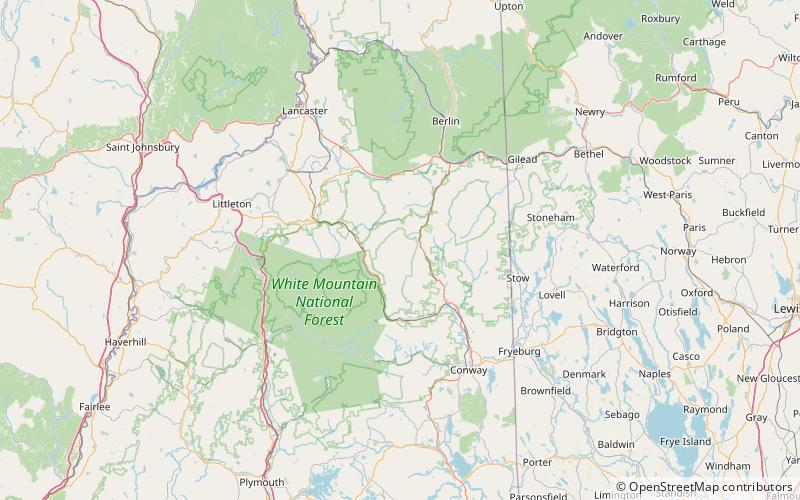
White Mountains
The White Mountains are a mountain range covering about a quarter of the state of New Hampshire and a small portion of western Maine in the United States. They are part of the northern Appalachian Mountains and the most rugged mountains in New England.
Sandwich Mountain
Sandwich Mountain is a 3,983 ft mountain located on the border between Carroll and Grafton counties, New Hampshire spanning parts of the towns of Sandwich and Waterville Valley, respectively.
Mount Zealand
Mount Zealand, or Zealand Mountain, is a mountain located in the White Mountains, in Grafton County, New Hampshire. Zealand stands on a spur ridge northeast of Mount Guyot, and facing Whitewall Mountain to the east across Zealand Notch.
Mount Tecumseh
Mount Tecumseh is a mountain located in Grafton County, New Hampshire. The mountain is named after the Shawnee leader Tecumseh, and is a part of the White Mountains.
The Horn
The Horn is a mountain located in Coos County, New Hampshire. The mountain is part of the Pilot Range of the White Mountains. The Horn is flanked to the southwest by the Bulge.
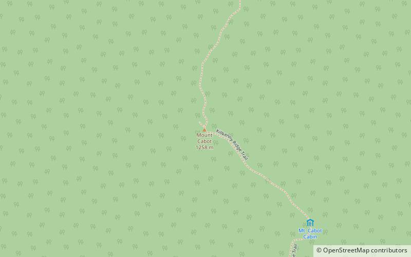
Mount Cabot
Mount Cabot is a mountain located in Coos County, in the U.S. state of New Hampshire. The mountain is the highest peak of the Pilot Range of the White Mountains.
Mount Blue
Mount Blue is a mountain in the White Mountains, located in Benton, New Hampshire. In spite of its height over 4,000 feet, it is not usually considered one of the four-thousand footers of New Hampshire, because its prominence is less than 200 feet, making it a sub-peak of Mount Moosilauke.
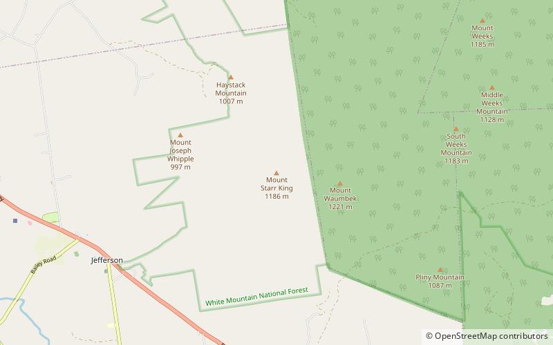
Mount Starr King
Mount Starr King is a mountain located in Coos County, New Hampshire. The mountain is named after Thomas Starr King, and is part of the Pliny Range of the White Mountains. Mt.
North Baldface
North Baldface is a 3,606-foot mountain in the township of Bean's Purchase, New Hampshire in the eastern White Mountains. It gets its name from its steep barren southeast face.
Mount Hancock
Mount Hancock is a mountain in Grafton County, New Hampshire, named after John Hancock, one of the Founding Fathers of the United States.
Mount Franklin
Mount Franklin is a mountain in Coös County, New Hampshire, United States. The mountain is named after Benjamin Franklin and is part of the Presidential Range of the White Mountains. Note that Ben Franklin was not a president.
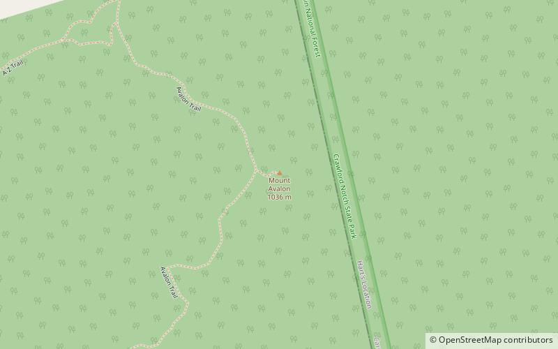
Mount Avalon
Mount Avalon is a 3,442-foot-high mountain located in Grafton County, New Hampshire, United States. It is a small, rocky spur of Mount Field, overlooking Crawford Notch in the White Mountains.
Mount Moosilauke
Mount Moosilauke is a 4,802-foot-high mountain at the southwestern end of the White Mountains in the town of Benton, New Hampshire, United States. It is the tenth highest and most southwesterly of the 4,000 foot summits in the White Mountains.
Mount Isolation
Mount Isolation is a mountain located in Coos County, New Hampshire. The mountain is part of the Presidential Range of the White Mountains. Mount Isolation is the highest peak on the Montalban Ridge which extends south from Boott Spur.
Map


