Lake Tahoe Basin Management Unit: Natural Attraction
Places and attractions in the Natural attraction category
Eagle Lake
Eagle Lake is a backcountry lake in the Sierra Nevada mountain range, to the west of Lake Tahoe in the Desolation Wilderness. It can be reached by hiking west out of the Eagle Lake trailhead on HWY 89 at Emerald Bay State Park.
Horsetail Falls
Horsetail Falls is a waterfall in the Sierra Nevada mountain range, to the west of Lake Tahoe in the Desolation Wilderness of El Dorado County, California, United States. It falls in stages for nearly 500ft. It can be reached by hiking north out of the Twin Bridges trailhead on U.S. Route 50.
Angora Lakes
The Angora Lakes are two small freshwater lakes in the Sierra Nevada and Lake Tahoe Watershed ~1,200 ft in elevation above Fallen Leaf Lake and Lake Tahoe. It is the location of the Angora Lakes Resort, a small summer outdoor recreation location. The lakes were named for a herd of Angora goats that used to graze in the area.
Mount Tallac
Mount Tallac is a mountain peak southwest of Lake Tahoe, in El Dorado County, California. The peak lies within the Desolation Wilderness in the Eldorado National Forest. It is quite visible from State Routes 89 and 28, and U.S. Route 50.
Fallen Leaf Lake
Fallen Leaf Lake is a mountain lake located in El Dorado County, California, near the California–Nevada state border, about one mile south west of the much larger Lake Tahoe.
Waca Lake
Waca Lake is a backcountry lake in the Desolation Wilderness in the Sierra Nevada mountain range of California. It lies just south of Lake Aloha.
Lake Aloha
Lake Aloha is a large shallow backcountry reservoir located at an elevation of 8,116 feet in the Sierra Nevada Range, west of Lake Tahoe in El Dorado County, in eastern California.
Pyramid Peak
Pyramid Peak is a mountain in the California's Sierra Nevada in the Crystal Range to the west of Lake Tahoe. It is the highest point in the Desolation Wilderness.
Lake of the Woods
The Lake of the Woods is a backcountry glacial lake in the Desolation Wilderness of the Eldorado National Forest, southwest of Lake Tahoe, in El Dorado County, California. It lies just southeast of Lake Aloha.
Ralston Peak
Ralston Peak is a mountain in the Sierra Nevada mountain range to the west of Lake Tahoe within the Desolation Wilderness in El Dorado County, California.
Gilmore Lake
Gilmore Lake in California is a backcountry lake in the Sierra Nevada mountain range, to the west of Lake Tahoe in the Desolation Wilderness. It can be reached by hiking west out of the Glen Alpine Springs trailhead near the town of South Lake Tahoe. This lake offers great fishing for Lake trout.
Pyramid Lake
Pyramid Lake is a lake in the backcountry of the Desolation Wilderness in the Sierra Nevada Mountains of El Dorado County, California.
Silver Peak
Silver Peak is a mountain in the Sierra Nevada mountain range at the north end of the Crystal Mountains, to the east of Lake Tahoe. It is located in the Desolation Wilderness in El Dorado County, California.
Spooner Lake
Spooner Lake is a man-made reservoir located just north of the intersection of Highway 50 and Highway 28 near Spooner Summit, a pass in the Carson Range of the Sierra Nevada leading to Carson City, Nevada from Lake Tahoe.
Freel Peak
Freel Peak is a mountain located in the Carson Range, a spur of the Sierra Nevada, near Lake Tahoe in California. The peak is on the boundary between El Dorado County and Alpine County; and the boundary between the Eldorado National Forest and the Humboldt-Toiyabe National Forest.
Phipps Peak
Phipps Peak is a mountain in the Sierra Nevada to the west of Emerald Bay and Lake Tahoe; and to the east of Rockbound Valley and the Crystal Range. The peak is in El Dorado County, California and the Desolation Wilderness.
Rubicon Peak
Rubicon Peak is a mountain in the Sierra Nevada mountain range to the west of Lake Tahoe in the Desolation Wilderness in El Dorado County, California.
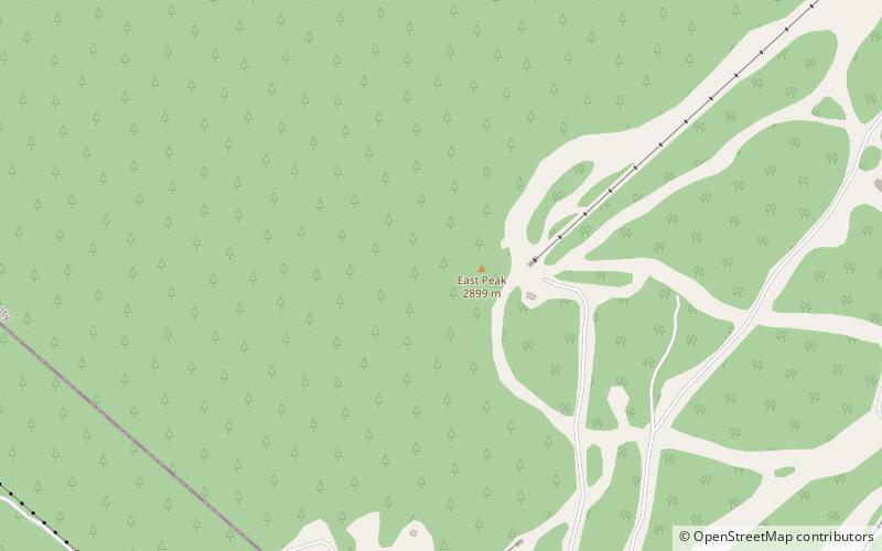
East Peak
East Peak is a mountain in the Carson Range of western Nevada, United States. It is the highest point in Douglas County. The summit is in the Heavenly ski area and is the location of East Peak Lodge.
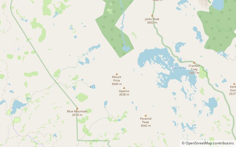
Mount Price
Mount Price is a mountain in the Sierra Nevada at the southern end of the Crystal Range, and southwest of Lake Tahoe. The summit is located in the Desolation Wilderness and the El Dorado County, California.
Lost Lake
Lost Lake is a lake in the Desolation Wilderness in the Sierra Nevada Mountains, south of Lake Tahoe in El Dorado County, California, United States. Not to be confused with Lost Lake Resort, which is near the Colorado River. Also not to be confused with the 'Lost Lake' off the Cajon Pass, also in California.
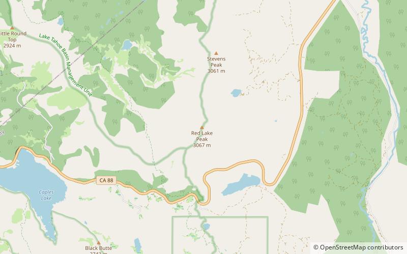
Red Lake Peak
Red Lake Peak is believed to be the vantage point from which John C. Fremont and Charles Preuss made the first recorded sighting of Lake Tahoe by Europeans in February 1844 as Fremont's exploratory expedition made a desperate crossing of the Sierra Nevada through what is now Carson Pass on their way to obtain provisions at Sutter's Fort.
Emerald Bay State Park
Emerald Bay State Park is a state park of California in the United States, centered on Lake Tahoe's Emerald Bay, a National Natural Landmark.
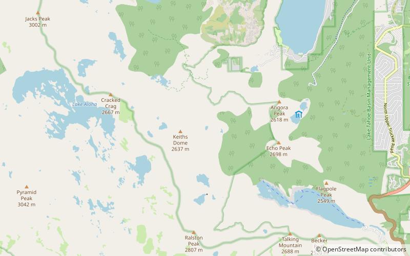
Angora Peak
Angora Peak is a summit in the Sierra Nevada south of Lake Tahoe in El Dorado County, California. The summit marks a point on the eastern boundary of the Desolation Wilderness and is in the Eldorado National Forest.
Desolation Wilderness
The Desolation Wilderness is a 63,960-acre federally protected wilderness area in the Eldorado National Forest and Lake Tahoe Basin Management Unit, in El Dorado County, California. The crest of the Sierra Nevada runs through it, just west of Lake Tahoe.
Tells Peak
Tells Peak is a mountain in the Sierra Nevada at the very north end of the Crystal Range, to the west of Lake Tahoe. It is located in the Desolation Wilderness in El Dorado County, California. The origin of the name is not certain.
McConnell Peak
McConnell Peak is a mountain in the Sierra Nevada mountain range at the north end of the Crystal Mountains, to the west of Lake Tahoe. It is located in the Desolation Wilderness in El Dorado County, California.
Red Peak
Red Peak is a mountain in the Sierra Nevada mountain range at the north end of the Crystal Range, to the west of Lake Tahoe. It is located in the Desolation Wilderness in El Dorado County, California.
Lake Tahoe–Nevada State Park
Lake Tahoe–Nevada State Park is a state park comprising multiple management units and public recreation areas on the northeast shores of Lake Tahoe in the U.S. state of Nevada. The park covers approximately 14,301 acres.
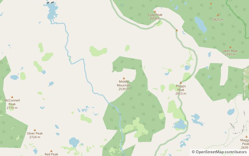
Middle Mountain
Middle Mountain is a mountain in the Sierra Nevada mountain range to the west of Lake Tahoe in the Desolation Wilderness in El Dorado County, California.
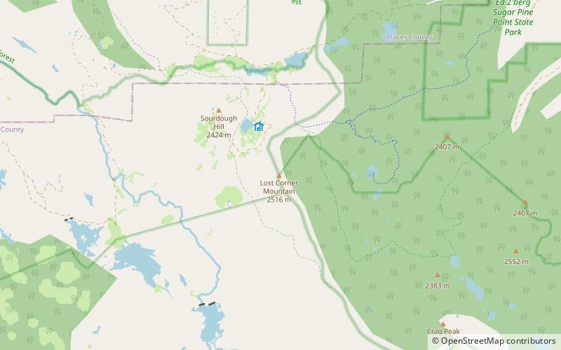
Lost Corner Mountain
Lost Corner Mountain is a mountain summit in the Sierra Nevada mountain range to the west of Lake Tahoe on the border of the Desolation Wilderness in El Dorado County, California. The city closest to it is Meyers, California which is 4.4 miles away. The Pacific Crest Trail skirts the mountain on its west flank.
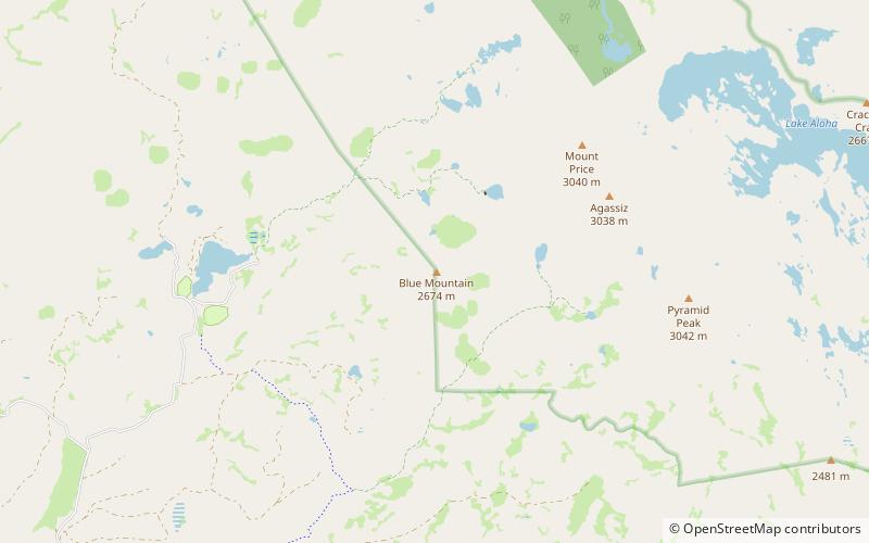
Blue Mountain
Blue Mountain is a mountain in the Crystal Range, a subrange of the Sierra Nevada. It is west of Lake Tahoe on the western boundary of the Desolation Wilderness in El Dorado County, California.
Echo Lake
Echo Lake, is the name of a glacial lake—summer reservoir located in El Dorado County, eastern California, United States.
Crystal Range
The Crystal Range is a small chain of mountain peaks in the Desolation Wilderness in the U.S. state of California. It is a subrange of the Sierra Nevada.
Map


