Markham: Neighbourhood
Places and attractions in the Neighbourhood category
Unionville
Unionville is a neighbourhood and former village in Markham, Ontario, Canada 33 km northeast of Downtown Toronto and 4 km east of southern Richmond Hill. The boundaries of Unionville are not well-defined, as it is an unincorporated community.
German Mills
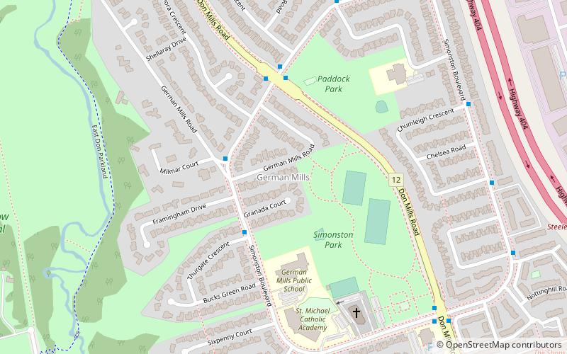
German Mills is a community within the city of Markham in Ontario, Canada. The easternmost community in the historic town of Thornhill, German Mills was named for the early German settlers in the area.
Berczy Village
Berczy Village is a residential neighbourhood in Markham, Ontario, Canada. It is bounded to the north by Major Mackenzie Drive, to the east by McCowan Road, to the south by 16th Avenue, and to the west by Kennedy Road. This area is north of Unionville.
Milliken
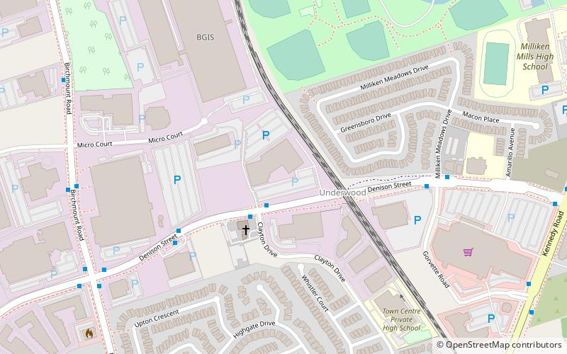
Milliken and Milliken Mills are neighbourhoods in the cities of Toronto and Markham. Milliken is situated in the north west section of Scarborough, whereas Milliken Mills is situated in the south-central portions of Markham.
Quantztown
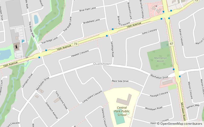
Quantztown is an unincorporated community located in the city of Markham, Ontario, Canada, near McCowan Road and 16th Avenue. It is named for German settler Melchior Quantz, who arrived in 1794 after serving with the British Army.
Markham—Unionville
Markham—Unionville is a federal electoral district in Ontario, Canada, that has been represented in the House of Commons of Canada since 2004.
Raymerville – Markville East
Raymerville - Markville East is a community in Markham, Ontario, Canada. The name "Raymerville" came from the community's major collector road, Raymerville Drive. The name "Markville" came from the local major shopping mall, Markville Shopping Centre.
Angus Glen
Angus Glen is a community in the city of Markham, just north of the community and former municipality of Unionville, Ontario, Canada.
Wismer Commons
Wismer Commons is a residential area of Markham, Ontario, Canada north of 16th Avenue, west of Highway 48 and east of McCowan Road. Wismer Commons is named after the Wismer Family, one of the founding pioneer families of Markham, Ontario.
South Unionville
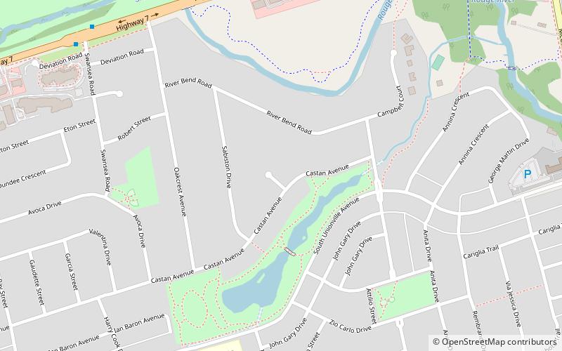
South Unionville is a neighbourhood located in, Markham, Ontario, Canada. It is bounded to the north by Regional Highway 7, south by 407, east by McCowan Road and west by Kennedy Road.
Markham—Thornhill
Markham—Thornhill is a federal electoral district in Ontario, Canada, that has been represented in the House of Commons of Canada since 2015. It encompasses a portion of Ontario previously included in the electoral districts of Markham—Unionville and Thornhill.
Mongolia
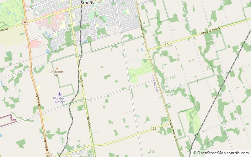
Mongolia is an historical community in Markham, Ontario centred on 10th Line and Elgin Mills Rd. East, immediately south of the Town of Whitchurch-Stouffville. The hamlet lies completely within the expropriated federal Pickering Airport lands and also within the proposed boundaries of a future national Rouge Park.
Dickson Hill
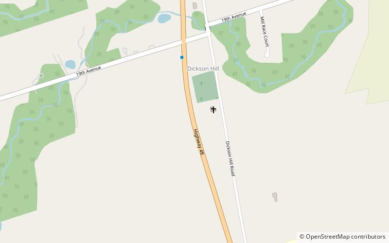
Dickson Hill is a small community in northeast Markham, Ontario, Canada, located near Highway 48 and 19th Avenue, on the border to Whitchurch-Stouffville. Unlike other parts of Ontario, the area around Dickson Hill has remained largely agricultural. The hamlet has a small church and a school.
Milnesville
Milnesville is a historic community of Markham, Ontario on the 8th Line or 8th Concession Road, between Elgin Mills Road and Major Mackenze Drive, and the Little Rouge Creek.
Hagerman's Corners
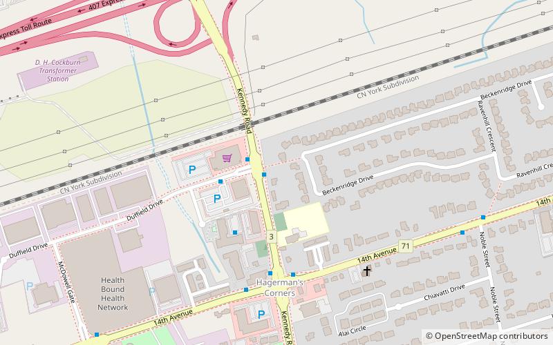
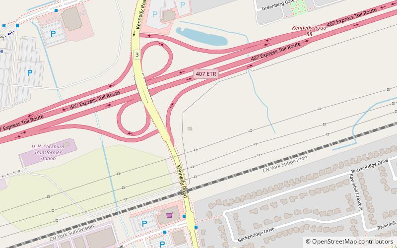
Hagerman's Corners is a dispersed rural community in Markham, Ontario, Canada. Located at 14th Avenue and Kennedy Road, the former farm lands have disappeared and given way to homes and commercial parks. It is geographically located between the communities of Milliken Mills and Unionville, within the city of Markham.
Downtown Markham
Downtown Markham is the central business district of Markham, Ontario, Canada currently being developed. It is located within Markham Centre near the historic Unionville district and is proposed to serve as the heart of Markham.
Cornell
Cornell is a new community village being developed in northeast Markham, Ontario and bounded by Highway 407, 16th Avenue, Ninth Line, and the Donald Cousens Parkway. The 2011 population of this area was 9,880. Adding Cornell North's 2,178 it had 12,058 residents.
Cachet
Cachet is a neighbourhood within northwestern Markham, Ontario, Canada. It is bounded by 16th Avenue to the south, Major Mackenzie Drive East to the north, Warden Avenue to the east and Woodbine Avenue or Highway 404, to the west.
Buttonville
Buttonville is a suburban planned neighbourhood from a former police village in the city of Markham, Ontario, Canada, west of the larger Unionville neighbourhood. the former hamlet and police village named after its founder, John Button.
Cathedraltown
Cathedraltown is a planned neighbourhood with an estimated population of 3,000 in the City of Markham, just north of Toronto. Cathedraltown was named after the Cathedral of the Transfiguration, around which the neighbourhood was built.
Brown's Corners
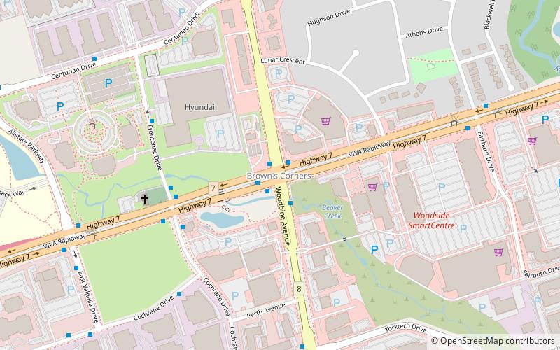
Brown's Corners is an unincorporated community in Markham, Regional Municipality of York in the Greater Toronto Area of Ontario, Canada and located near the corner of Woodbine Avenue and Highway 7. The community, founded in 1842, was named for local settler Alexander Brown, Sr. who acquired 100 acres in 1838.
Locust Hill
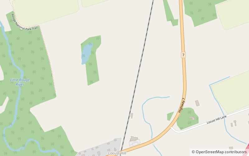
Locust Hill is a historic community of Markham, Ontario centred on Hwy. 7 and the Canadian Pacific Railway and within the boundaries of the future national Rouge Park.
Greensborough
Greensborough is a community in the city of Markham in the Regional Municipality of York in the Canadian province of Ontario. Greensborough is one of the easternmost communities in Markham, and with the exception of Dickson Hill, is also the northernmost.
Map


