St. Martin, Aachen
Map

Map

Facts and practical information
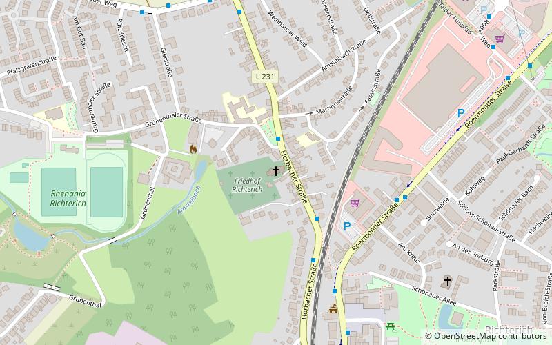
The Catholic parish church of St. Martinus is a listed church building in Richterich, a district of the city of Aachen in North Rhine-Westphalia, Germany.
Coordinates: 50°48'51"N, 6°3'31"E
Day trips
St. Martin – popular in the area (distance from the attraction)
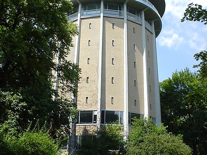
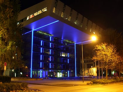
Nearby attractions include: Tivoli, Ponttor, Belvedere Water Tower, Tivoli Eissporthalle.
Frequently Asked Questions (FAQ)
How to get to St. Martin by public transport?
The nearest stations to St. Martin:
Bus
Train
Bus
- Richterich Kirche • Lines: 17, 27, 44, N 2 (2 min walk)
- Hander Weg • Lines: 17, 27, 44, N 2 (3 min walk)
Train
- Vetschau (19 min walk)


