Monte Confinale, Stelvio National Park
#43 among attractions in Stelvio National Park

Facts and practical information
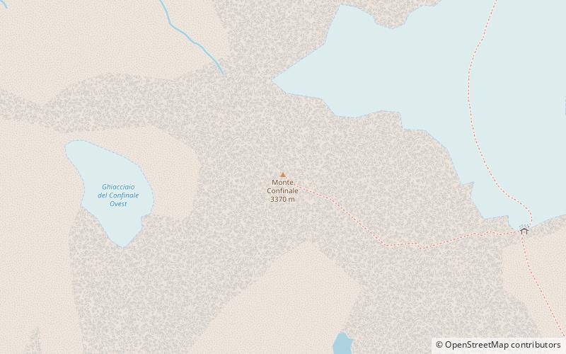
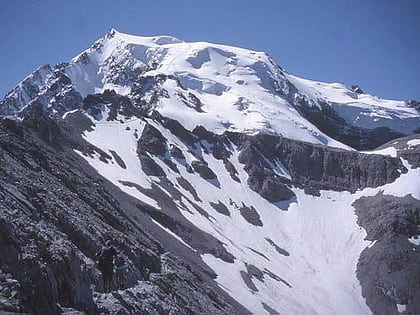
Monte Confinale, is a mountain of the Ortler Alps in Lombardy, northern Italy. ()
Stelvio National Park Italy
Monte Confinale – popular in the area (distance from the attraction)
Nearby attractions include: Santa Caterina di Valfurva, Cima Coppi, Ortler, Rifugio Quinto Alpini.
 Winter sport, Ski area
Santa Caterina di Valfurva, Stelvio National Park
94 min walk • Santa Caterina di Valfurva is a frazione of the comune of Valfurva, in the northern Italian province of Sondrio. It is home to a popular ski resort, which has held numerous FIS World Cup alpine races; Santa Caterina co-hosted the World Championships with Bormio in 1985 and 2005.
 Winter sport, Ski area
Cima Coppi, Stelvio National Park
115 min walk • The Cima Coppi is the title given to the highest peak in the yearly running of the Giro d'Italia, one of cycling's Grand Tour races. The mountain that is given this title each year awards more mountains classification points to the first rider than any of the other categorized mountains in the race.
 Peak with extreme skiing and WWI sites
Ortler, Stelvio National Park
116 min walk • Ortler is, at 3,905 m above sea level, the highest mountain in the Eastern Alps outside the Bernina Range. It is the main peak of the Ortler Range.
 Alpine hut, Hiking
Rifugio Quinto Alpini, Stelvio National Park
71 min walk • The Quinto Alpini hut is an alpine hut located on a rock ridge in Val Zebrù, in the municipality of Valfurva in the Rhaetian Alps, in the heart of the Stelvio National Park, at 2,877 m above sea level.
 Natural attraction, Nature, Mountain
Königspitze, Stelvio National Park
94 min walk • The Königspitze is a mountain of the Ortler Alps on the border between South Tyrol and the Province of Sondrio, Italy. After the Ortler, it is the second highest peak in the Ortler Alps, at a height of 3,851m.
 Alpine hut, Hiking
Rifugio Pizzini-Frattola, Stelvio National Park
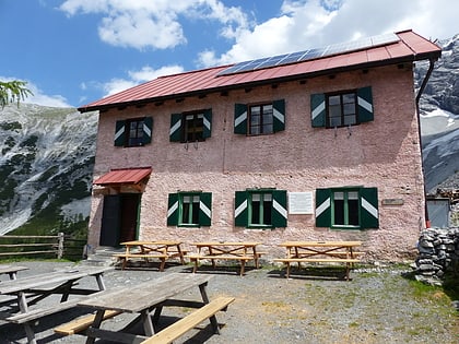
91 min walk • The Pizzini Frattola refuge is a refuge located in the municipality of Valfurva, Valtellina in the Ortles-Cevedale group, at 2,706 m above sea level.
 46°31'36"N • 10°30'50"E
Berglhütte - Rifugio Borletti, Stelvio National Park
137 min walk • Alpine hut, Hiking
 Natural attraction, Nature, Natural feature
Ortler Alps, Stelvio National Park
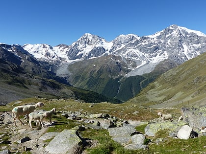
142 min walk • The Ortler Alps are a mountain range of the Southern Limestone Alps mountain group in the Central Eastern Alps, in Italy and Switzerland.
 Natural attraction, Nature, Mountain
Monte Zebrù, Stelvio National Park
90 min walk • Monte Zebrù is a mountain of the Ortler Alps between Lombardy and South Tyrol, Italy.
 Natural feature
Southern Rhaetian Alps, Stelvio National Park
116 min walk • The Southern Rhaetian Alps are a mountain range in the southern part of the Alps.
 Natural attraction, Nature, Mountain
Thurwieserspitze, Stelvio National Park
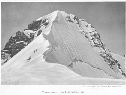
85 min walk • The Thurwieserspitze is a mountain in the Ortler Alps on the border between South Tyrol and the Province of Sondrio, Italy.
