Mont Rous, Breuil-Cervinia

Gallery (3)
Map
Map
Gallery
Facts and practical information
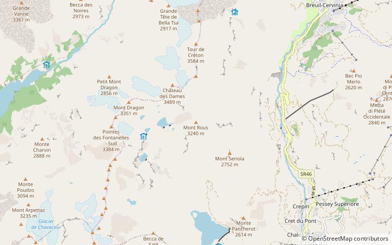
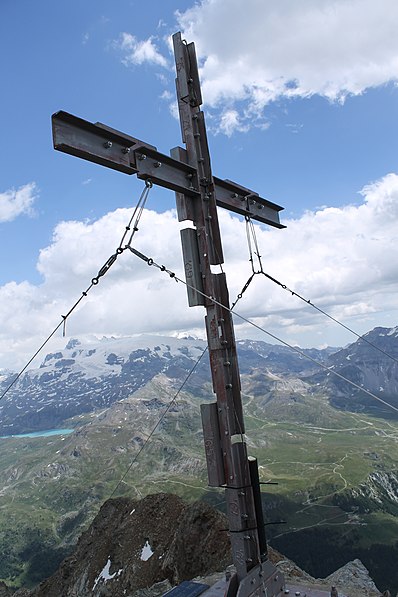
Mont Rous or Mont Rouge is a 3241 m above sea level mountain in the Pennine Alps, in the Aosta Valley. It is located in Valtournenche.
Below the summit is the Vofréde Glacier.
Coordinates: 45°54'25"N, 7°35'7"E
Address
Breuil-Cervinia
ContactAdd
Social media
Add
Day trips


Frequently Asked Questions (FAQ)
Which popular attractions are close to Mont Rous?
Nearby attractions include Chateau des Dames, Breuil-Cervinia (19 min walk), Mont Blanc du Créon, Breuil-Cervinia (21 min walk).