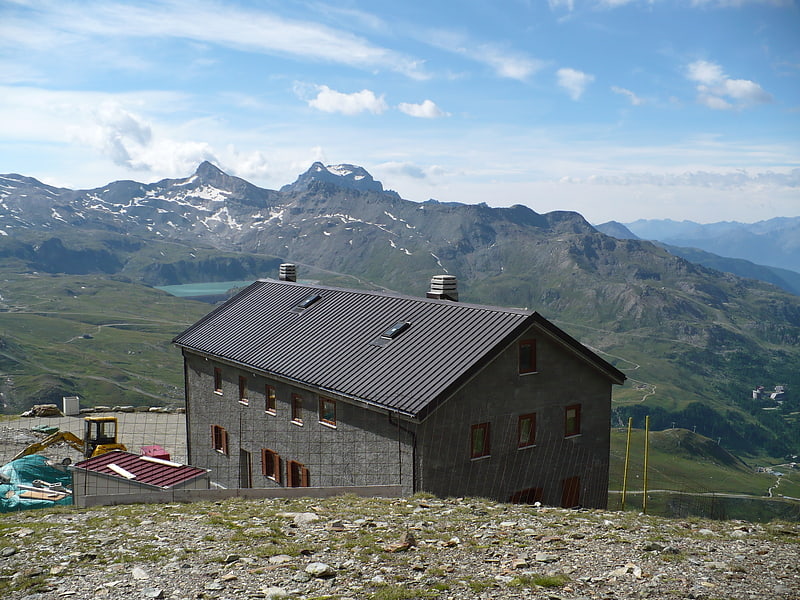
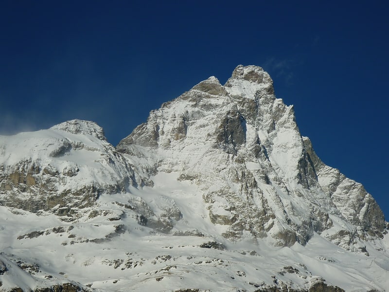
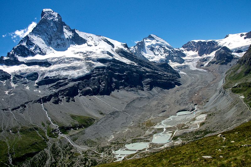
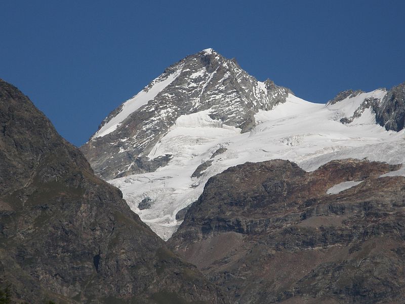
Dent d'Hérens, Breuil-Cervinia

Gallery (8)
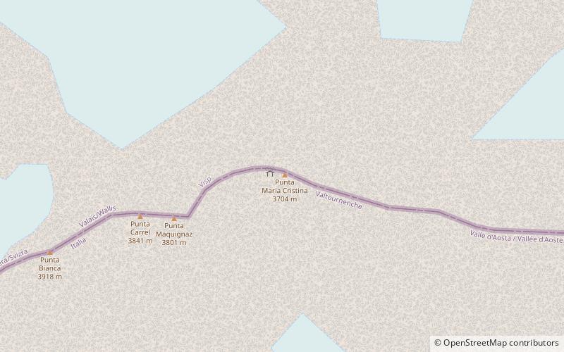
Map

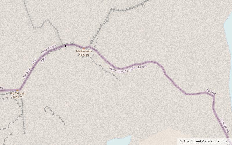
Map

Gallery
Facts and practical information
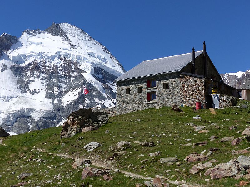
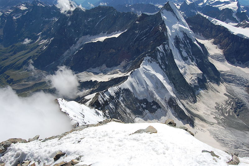
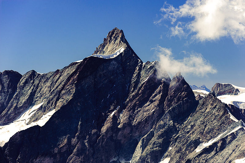
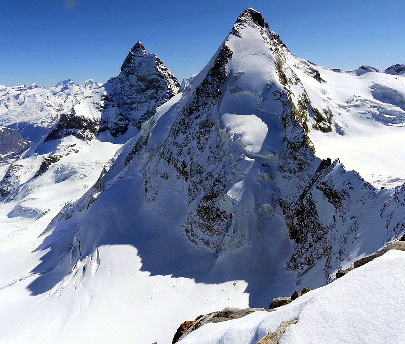
The Dent d'Hérens is a mountain in the Pennine Alps, lying on the border between Italy and Switzerland. The mountain lies a few kilometres west of the Matterhorn. ()
Alternative names: First ascent: 1863Elevation: 13694 ftProminence: 2300 ftCoordinates: 45°58'12"N, 7°36'18"E
Address
Breuil-Cervinia
ContactAdd
Social media
Add
Day trips