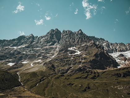
Mont Brulé
Map
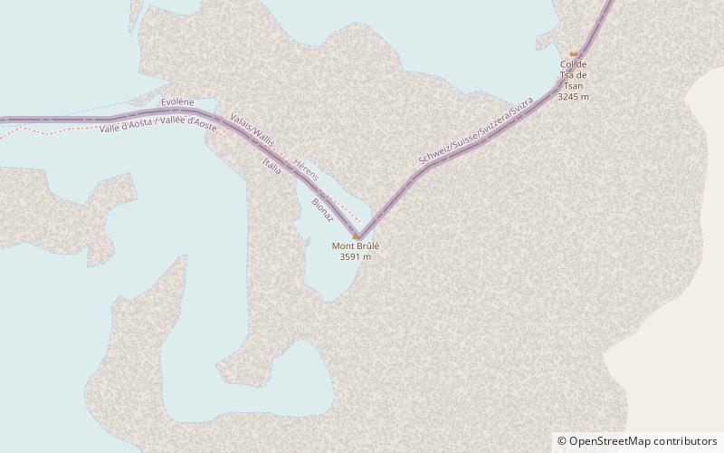
Map

Facts and practical information
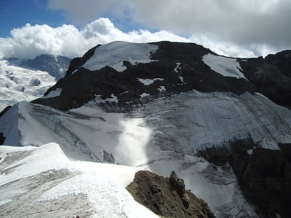
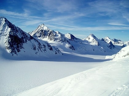
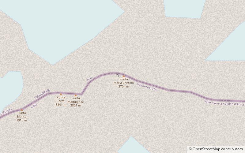
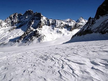
Mont Brulé is a mountain of the Pennine Alps, located on the Swiss-Italian border, east of the Col Collon. On its northern side it overlooks the upper Arolla Glacier. ()
Local name: Monte Brulé First ascent: 1876Elevation: 11739 ftProminence: 1198 ftCoordinates: 45°57'18"N, 7°32'19"E
Location
Aosta Valley
ContactAdd
Social media
Add
Day trips
Mont Brulé – popular in the area (distance from the attraction)
Nearby attractions include: Refuge Prarayer, Refuge Nacamuli au col Collon, Dent d'Hérens, Golf Club del Cervino.
