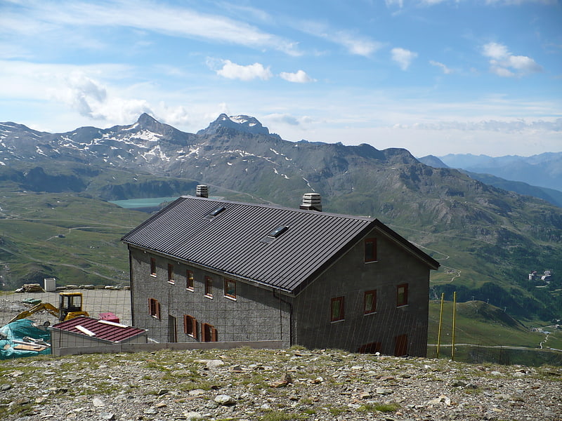
Refuge Aoste

Gallery (1)
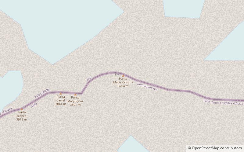
Map
Map
Facts and practical information
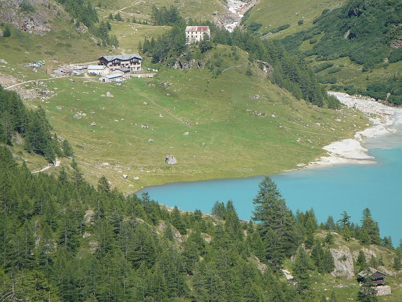
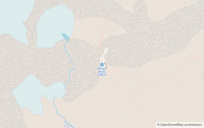
Refuge Aoste is a mountain hut in the Valpelline, in the Pennine Alps, owned by the Club Alpino Italiano. It is in the commune of Bionaz, Aosta Valley, Italy. ()
Location
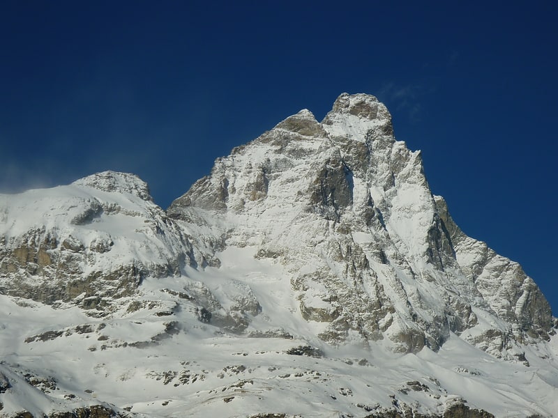
Aosta Valley
ContactAdd
Social media
Add
Day trips