Lago di Viverone

Gallery (2)
Map
Map
Gallery
Facts and practical information
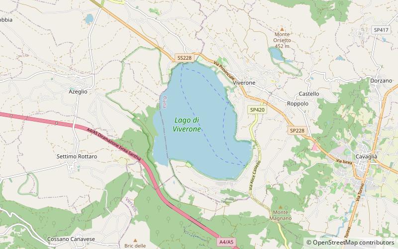
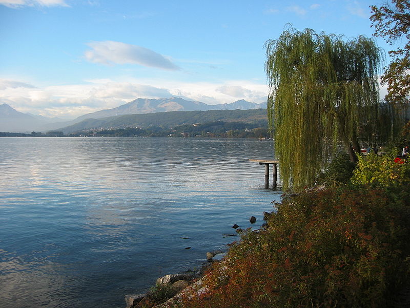
Lago di Viverone is a lake in northern Italy. Named after the town of Viverone, lies at 230 m AMSL between the districts of Biella, Vercelli and Ivrea in the area of morainic hills known as Serra. It has an area of about 6 km2 and a maximum depth of 70 m, and a perimeter of about 10.5 km. The lake is 3,500 m long and 2,600 m wide. The southern and western parts of the lake are rich in vegetation while the north part is built-up and includes hotels, camping sites and beaches. ()
Alternative names: Area: 2.21 mi²Length: 2.17 miWidth: 8530 ftMaximum depth: 230 ftElevation: 751 ft a.s.l.Coordinates: 45°24'56"N, 8°2'9"E
Location
Piedmont
ContactAdd
Social media
Add
Day trips


