Pfelderer Tal
#1380 among destinations in Italy
![Pfelderer Tal location map](https://tzmedia.b-cdn.net/media/images/static-maps/it/46_8036_11_1147.jpg)
Facts and practical information
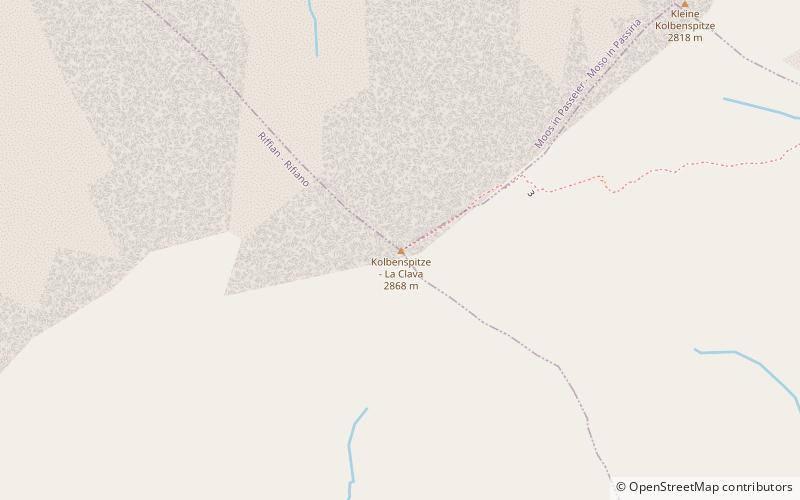
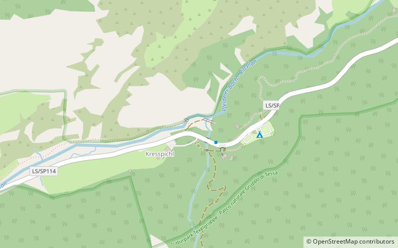
The Pfelderer Tal, also Pfelderstal, is a side valley of the Passeier Valley in South Tyrol, Italy. ()
Trentino-South TyrolItaly
Pfelderer Tal plan & book
Unleash the traveler in you — discover the cheapest flight deals, find the perfect hotel or hostel nearby, and search for the best car rental prices. Travel at your own pace to discover new places and enjoy your journey.
Pfelderer Tal – popular in the area (distance from the attraction)
Nearby attractions include: Hochwilde, Spronser Lakes, Hinterer Seelenkogel, Lodner.
5.1 miSWNatural attraction, MountainHochwilde, Texelgruppe Nature Park
131 min walk • The Hochwilde or Hohe Wilde is a mountain in the Ötztal Alps on the border between Tyrol, Austria, and South Tyrol, Italy.
5.2 miSLakeSpronser Lakes, Texelgruppe Nature Park
133 min walk • The Spronser Lakes is the largest group of high elevation lakes in the Alps, located in South Tyrol, Italy. It is located in the eastern part of the Texel Group. Eight to ten lakes of significant size such as the Grünsee, the Langsee, the two Milchseen or the small Mückensee occupy a total area of 30 hectares.
3.3 miWNatural attraction, MountainHinterer Seelenkogel, Texelgruppe Nature Park
85 min walk • The Hinterer Seelenkogel is a mountain in the Gurgler Kamm group of the Ötztal Alps.
6 miSWNatural attraction, MountainLodner, Texelgruppe Nature Park
153 min walk • The Lodner is a mountain in the Ötztal Alps in South Tyrol, Italy.
5.4 miSWNatural attraction, MountainHohe Weisse, Texelgruppe Nature Park
139 min walk • The Hohe Weisse or Hochweisse is a mountain in the Texel group of the Ötztal Alps. Its parent peak is the Hochwilde. The easiest route to the summit is the Willy-Ahrens-weg.
5.5 miSENature, Natural attraction, ValleyPasseier Valley
139 min walk • The Passeier Valley is the valley of the Passer river, in the mountains of South Tyrol, northern Italy. The Passer river is a left-bank tributary to the Adige. At the mouth of the valley, where the two rivers join, stands the town of Merano.
2.6 miSENatural attraction, MountainKolbenspitze, Texelgruppe Nature Park
68 min walk • The 'Kolbenspitze is a mountain in the Texel group of the Ötztal Alps. Media related to Kolbenspitze at Wikimedia...
4.1 miSWNatural attraction, Natural featureTexel Group, Texelgruppe Nature Park
106 min walk • The Texel Group is a group of mountains of the Ötztal Alps in the Eastern Rhaetian Alps. It is located in South Tyrol in Italy. The mountain range is part of the Texelgruppe Nature Park and is crossed by the Meraner Höhenweg, a high level footpath.
7 miSW46°43'28"N • 11°1'16"ELodnerhütte - Rifugio Cima Fiammante, Texelgruppe Nature Park
180 min walk • Hiking, Alpine hut