Stilfs, Stelvio National Park

Gallery (3)
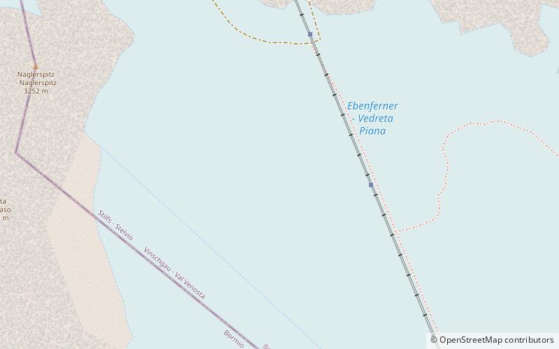
Map
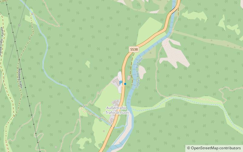
Map
Gallery
Facts and practical information
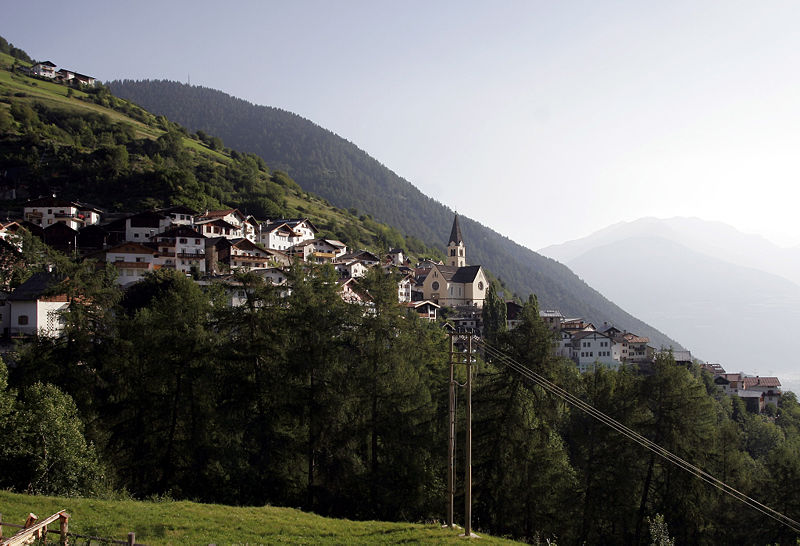
Stilfs is a comune in the province of South Tyrol in northern Italy. It is located near the northern ramp of the Stelvio Pass. ()
Day trips
Stilfs is a comune in the province of South Tyrol in northern Italy. It is located near the northern ramp of the Stelvio Pass. ()
Where to next? Visit ![]() Trentino-South Tyrol region page or discover the top tourist attractions in Italy.
Trentino-South Tyrol region page or discover the top tourist attractions in Italy.