Rifugio Porta Franca


Facts and practical information
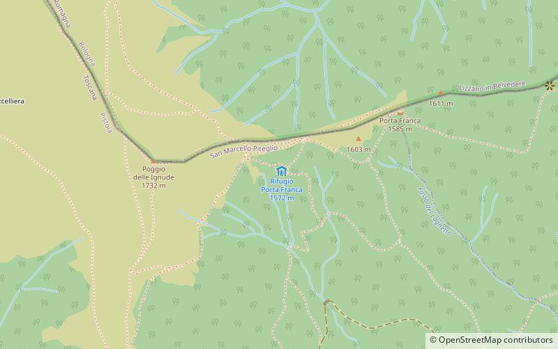
The Porta Franca refuge is located at the top of the Orsigna stream valley at 1580 m above sea level. The refuge can be reached from the village of Orsigna, following to Case Corrieri, where, starts the dirt road closed to traffic that after about 7 km, reaches Piangrande and continues for 30 minutes via the access path to the refuge. From the refuge of Porta Franca it is possible to reach by following the path number 5 CAI white-red at first Mount Gennaio, then having reached the Apennine ridge, Sentiero Italia and from there, Corno alle Scale and Lake Scaffaiolo. If, on the other hand, we leave the refuge and take the right path, we can reach Rombicciaio, La Piantata and Pian dello Stellaio, near Monte Cavallo, from where we can continue to the sanctuary of Madonna del Faggio. The refuge is surrounded by numerous raspberry plants and marks the boundary between beech forest and pasture.
It has 24 beds, living rooms, kitchen, services and Bivouac always open.
Tuscany
Rifugio Porta Franca – popular in the area (distance from the attraction)
Nearby attractions include: Suspension Bridge, Piscina Comunale Conca Del Sole, Capanno Tassoni, Pistoia Mountains Astronomical Observatory.


