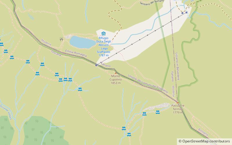
Monte Cupolino
Map

Map

Facts and practical information
Mount Cupolino is a peak of m. 1852 a.s.l. that lies on the main ridge of the Tuscan-Emilian Apennines, between the Three Terms Pass, at m. 1785 a.s.l. and the Calanca Pass, at m. 1737 a.s.l. Ridge that marks the border between Tuscany and Emilia-Romagna. The Cupolino, on the Emilia-Romagna side, lies within the Frignano Park.
Coordinates: 44°7'1"N, 10°48'37"E
Location
Tuscany
ContactAdd
Social media
Add
Day trips
Monte Cupolino – popular in the area (distance from the attraction)
Nearby attractions include: Suspension Bridge, Piscina Comunale Conca Del Sole, Capanno Tassoni, Monte Cimone.


