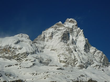
Plateau Rosa, Breuil-Cervinia
Map
Gallery
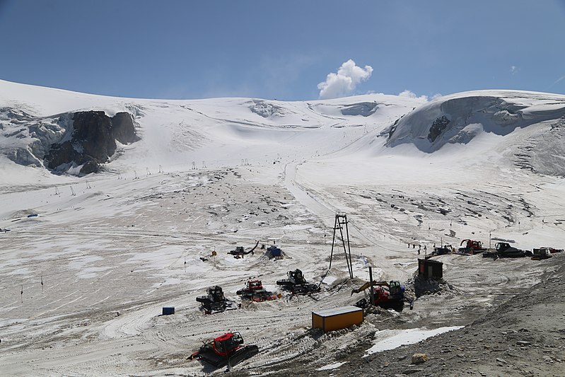
Facts and practical information
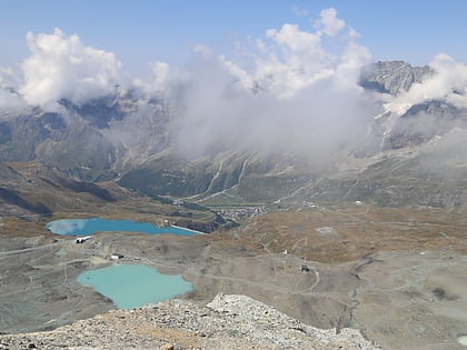
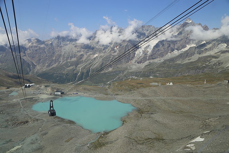
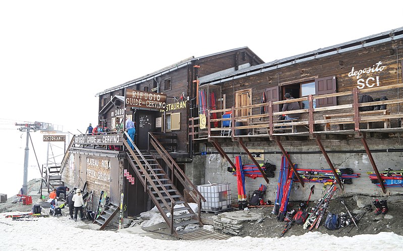
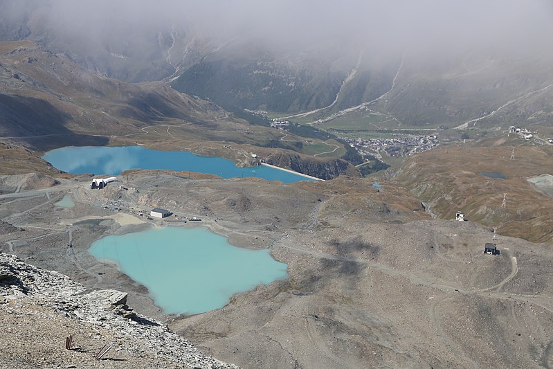
Plateau Rosa is a place located in Breuil-Cervinia (Aosta Valley autonomous region) and belongs to the category of ski area, park, outdoor activities.
It is situated at an altitude of 9629 feet, and its geographical coordinates are 45°55'56"N latitude and 7°41'39"E longitude.
Among other places and attractions worth visiting in the area are: Refuge du Théodule (alpine hut, 28 min walk), Theodul Pass (nature, 29 min walk), Theodulhorn (nature, 35 min walk).
Elevation: 9629 ft a.s.l.Coordinates: 45°55'56"N, 7°41'39"E
Address
Breuil-Cervinia
ContactAdd
Social media
Add
Day trips
Plateau Rosa – popular in the area (distance from the attraction)
Nearby attractions include: Rif. Oriondé, Gobba di Rollin, Golf Club del Cervino, Pic Tyndall.
