Valico di San Fermo

Gallery (1)
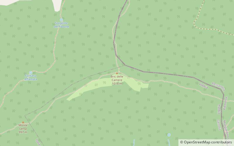
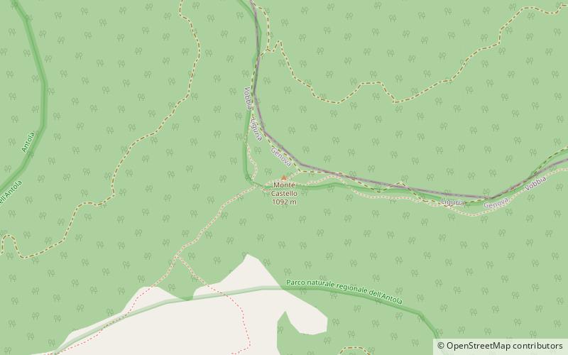
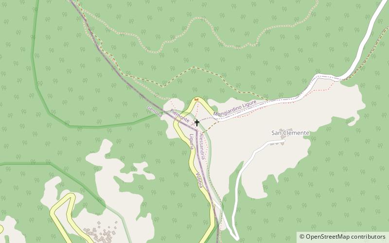
Map
Map
Facts and practical information
Valico di San Fermo also called Valico di San Clemente is a mountain pass between province of Genoa and province of Alessandria in Italy. ()
Location
Liguria
ContactAdd
Social media
Add
Day trips