Peak District: Hill
Places and attractions in the Hill category
Categories
- Natural attraction
- Nature
- Mountain
- Church
- Valley
- Lake
- Hill
- Archaeological site
- Gothic Revival architecture
- Hiking trail
- Hiking
- Cave
- Cliff
- Memorial
- Village
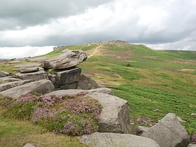
Higger Tor
Higger Tor or Higgar Tor is a gritstone tor in the Dark Peak, in the north of the Peak District National Park in England. It overlooks the Burbage Valley and the Iron Age hill fort of Carl Wark to the southeast.
The Roaches
The Roaches is a prominent rocky ridge above Leek and Tittesworth Reservoir in the Staffordshire Peak District of England. The ridge with its rock formations rises steeply to 505 m.
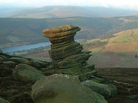
Derwent Edge
Derwent Edge is a Millstone Grit escarpment that lies above the Upper Derwent Valley in the Peak District National Park in the English county of Derbyshire. An Ordnance Survey column marks the highest point of the Edge at Back Tor. North of Back Tor the edge extends into Howden Edge and enters the county of South Yorkshire.
Cats Tor
Cats Tor is a Peak District hill on the border between Cheshire and Derbyshire, between the towns of Macclesfield and Buxton. The summit is 518 metres above sea level. Tor is an Old English word for a high, rocky hill. The higher peak of Shining Tor is about 2 km south along The Tors gritstone ridge.
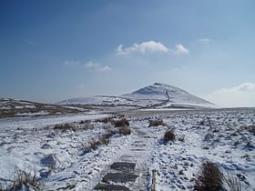
Shutlingsloe
Shutlingsloe is a hill near the village of Wildboarclough, in the east of the county of Cheshire. It stands to the south of Macclesfield Forest, on the edge of the Peak District and within the Peak District National Park.
Shining Tor
Shining Tor is the highest hill in the modern ceremonial county of Cheshire, England. The summit has a maximum elevation of 559 m above sea level.
Margery Hill
Margery Hill is a 546-metre hill on the Howden Moors in South Yorkshire, England. It lies towards the northern boundary of the Peak District National Park, between Langsett Reservoir to the northeast and Howden Reservoir to the southwest.
Morridge
Morridge is a geographical feature, a few mile east of Leek, in Staffordshire, England. It is in the local government district of Staffordshire Moorlands. It is a long ridge of high moorland. The northern end, Morridge Top, is about a mile south of Flash.
Windgather Rocks
The Windgather Rocks is a gritstone crag on the Derbyshire–Cheshire border in England. It is in the Peak District National Park and is a popular site for learning the rudiments of rock climbing.
Axe Edge Moor
Axe Edge Moor is the major moorland southwest of Buxton in the Peak District. It is mainly gritstone. Its highest point is at grid reference SK035706. This is slightly lower than Shining Tor. The moor is the source of the River Dove, River Manifold, River Dane, River Wye and River Goyt. It boasts England's second-highest public house.
High Stones
High Stones, at 548 metres, is the highest point within the boundaries of both Sheffield and South Yorkshire, England. Lying within the City of Sheffield, it is also the highest natural point above sea level in any English city.
Cheeks Hill
Cheeks Hill is a hill on Axe Edge Moor in the Peak District, England. It lies just south of the Cat and Fiddle Road near Buxton, and forms part of the border between Derbyshire and Staffordshire.
Howden Edge
Howden Edge is a peak in the north-east of the Upper Derwent Valley area of the Peak District National Park in England. At 545 m, it is the second-highest marked point within South Yorkshire, after Margery Hill 546 m.
Bosley Minn
Bosley Minn is one of two names – the other being Wincle Minn – given to a prominent hill in southeast Cheshire and in the southwestern corner of the Peak District National Park in northern England.
Map

