Columbus: Neighbourhood
Places and attractions in the Neighbourhood category
Categories
- Museum
- Park
- Church
- Shopping
- Monuments and statues
- History museum
- Gothic Revival architecture
- Neighbourhood
- Sport
- Sport venue
- Concerts and shows
- Historical place
- Nightlife
- Theater
- Arenas and stadiums
- Shopping centre
- Library
- Art gallery
- Bridge
- Cemetery
- Art museum
- Garden
- Music venue
- Area
- Performing arts
- City
- Golf
- Romanesque architecture
- Entertainment
- Archaeological site
- Skyscraper
- Colonial revival architecture
- Neoclassical architecture
Northwest Columbus
Northwest Columbus is a region in Franklin County, Ohio. It has about 45,000 residents, according to the 2010 U.S. census. Northwest Columbus is bounded by the Scioto River on the west, the Olentangy River on the east, State Route 161 on the north, and Highland Drive and Henderson Road on the south.
Downtown Columbus
Downtown Columbus is the central business district of Columbus, Ohio. Downtown is centered on the intersection of Broad and High Streets, and encompasses all of the area inside the Inner Belt. Downtown is home to most of the tallest buildings in Columbus.
Arena District
The Arena District is a mixed-use planned development and neighborhood in Columbus, Ohio. The site was developed through a partnership between Nationwide Realty Investors, Ltd. the City of Columbus and private investors.
South High Commercial Historic District
The South High Commercial Historic District is a historic district on High Street in Downtown Columbus, Ohio. The site was listed on the National Register of Historic Places in 1983 and the Columbus Register of Historic Properties in 1987.
King-Lincoln Bronzeville
King-Lincoln Bronzeville is a historically African American neighborhood in Columbus, Ohio, and the site of revitalization and renovation projects on behalf of the city.
Driving Park
Driving Park is an urban residential area on the Near East Side of Columbus, Ohio just south of Interstate 70. Mainly a middle-class, predominantly African American neighborhood, Driving Park and its surrounding neighborhoods consist of an area of 17,730 residents.
Franklinton
Franklinton is a neighborhood in Columbus, Ohio, just west of its downtown. Settled in 1797, Franklinton is the first American settlement in Franklin County, and was the county seat until 1824.
University District
The University District, is a 2.8-square-mile area located 2 miles north of Downtown Columbus, Ohio that is home to the main campus of Ohio State University, the Battelle Institute, and Wexner Medical Center.
German Village
German Village is a historic neighborhood in Columbus, Ohio, just south of the city's downtown. It was settled in the early-to-mid-19th century by a large number of German immigrants, who at one time comprised as much as a third of the city's entire population.
Italian Village
Italian Village is a neighborhood in Columbus, Ohio, that contains an array of residential, commercial, and industrial buildings. It is a designated historic district, known for its historical and cultural preservation. The building types and architecture reflect Italian influence.
Discovery District
The Discovery District is a special improvement district in downtown Columbus, Ohio, the home of Columbus State Community College, Columbus College of Art and Design, Columbus Museum of Art, and Columbus Metropolitan Library.
High and Gay Streets Historic District
The High and Gay Streets Historic District is a historic district in Downtown Columbus, Ohio. The site was listed on the National Register of Historic Places in 2014. The district includes 18 buildings, including three that are non-contributing, and one contributing building that has since been demolished.
Old North Columbus
Old North Columbus is a neighborhood located just north of the Ohio State University in Columbus, Ohio. It was founded in 1847 where, at the time, it was a stand-alone city out of the confines of Columbus until it was incorporated into the City of Columbus in 1871.
Weinland Park
Weinland Park is a neighborhood north of downtown Columbus, Ohio and encompassed by the boundaries of the University District. A development boom in the 1930s and 1940s resulting from new streetcar lines and the blossoming of factories brought working and middle-class families to the neighborhood.
Harrison West
Harrison West is an historic urban neighborhood located northwest of downtown Columbus, Ohio. It sits on several blocks along the Olentangy River, and includes the western part of the Near Northside Historic District, which was placed on the National Register of Historic Places in 1975.
South Columbus
South Columbus also referred to as the "South Side" or the "South End", consists of numerous urban and suburban areas south of Downtown Columbus, Ohio, United States.
Southern Orchards
Southern Orchards is an established neighborhood on the near south side of Columbus, Ohio. It is located immediately southeast of downtown and is the 23rd most walkable neighborhood in Columbus with 3,538 residents.
Old Oaks Historic District
Old Oaks Historic District, or Old Oaks, is a neighborhood just south and east of downtown Columbus, Ohio and is an example of a streetcar suburb in the city.
Clintonville
Clintonville is a neighborhood in north-central Columbus, Ohio, United States with around 30,000 residents. Its borders, associated with the Clintonville Area Commission, are the Olentangy River on the west, Glen Echo Creek to the south, a set of railroad tracks to the east, and on the north by the Worthington city limits.
Briggsdale
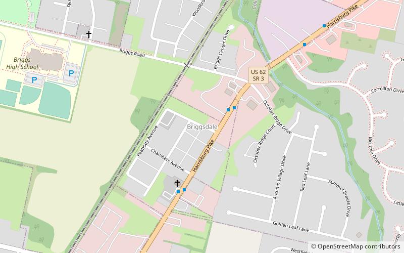
Briggsdale is a neighborhood of Franklin County in the city of Columbus, Ohio. The neighborhood is on the west/southwest side of the city within the Hilltop area. The area was first settled and founded by the family of Joseph M. Briggs, after whom the neighborhood was named.
The Short North
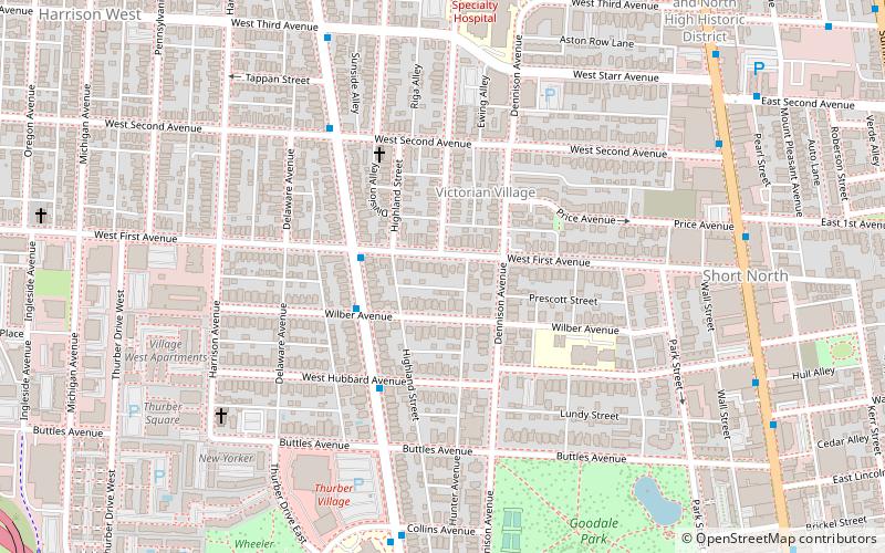
The Short North is a neighborhood in Columbus, Ohio, United States, centered on the main strip of High Street immediately north of the Arena District and extending until just south of the University District and Ohio State University.
East Town Street Historic District
The East Town Street Historic District is a historic district in Downtown Columbus, Ohio. The site was listed on the National Register of Historic Places in 1976 and the Columbus Register of Historic Properties in 1982; the district boundaries differ between the two entries.
Hungarian Village
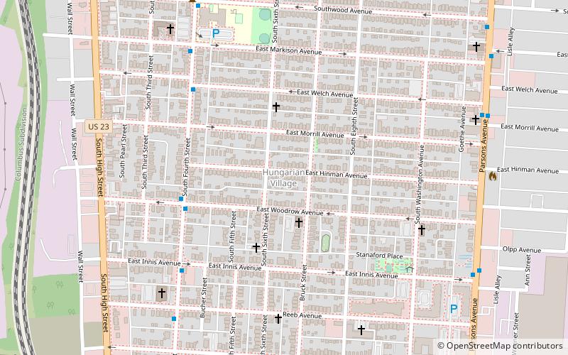
South of downtown Columbus, Ohio, along High Street, lies Hungarian Village, within the boundaries of Parsons Avenue, South High Street, Woodrow Avenue and Hinman Avenue.
Third Avenue and North High Historic District
The Third Avenue and North High Historic District is a historic district in the Short North neighborhood of Columbus, Ohio. It was listed on the National Register of Historic Places in 1990. The site consists of 24 buildings, including six that are non-contributing.
Jefferson Avenue Historic District
The Jefferson Avenue Historic District is a historic district in Downtown Columbus, Ohio. The site was listed on the National Register of Historic Places in 1982 and the Columbus Register of Historic Properties in 1983. The site includes approximately 12 buildings regarded for their history and architecture.
Columbus Near East Side District
The Columbus Near East Side District is a historic district in the Near East Side of Columbus, Ohio. The site was listed on the National Register of Historic Places in 1978. A portion of the district, the Bryden Road District, was added to the Columbus Register of Historic Properties in 1990.
East Broad Street Historic District
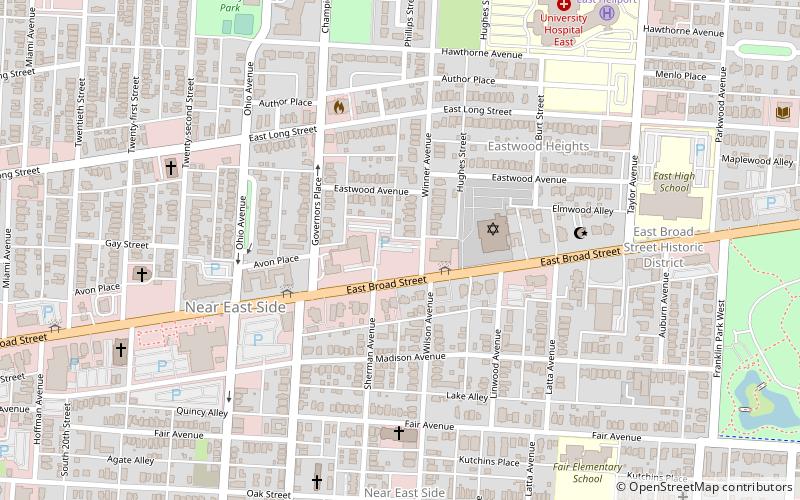
The East Broad Street Historic District in Columbus, Ohio is a historic district that was listed on the National Register of Historic Places in 1987.
Schlee Brewery Historic District
The Schlee Brewery Historic District is a historic district in the Brewery District neighborhood of Columbus, Ohio. It was listed on the National Register of Historic Places in 1988. At the time of nomination, the site consisted of six buildings, all of which are contributing.
Old Beechwold Historic District
The Old Beechwold Historic District is a neighborhood and historic district in Clintonville, Columbus, Ohio. The site was listed on the Columbus Register of Historic Properties in 1985 and the National Register of Historic Places in 1987. The district is significant for its architecture, landscape architecture, and community planning.
Fifth Avenue and North High Historic District
The Fifth Avenue and North High Historic District is a historic district in the Short North neighborhood of Columbus, Ohio. It was listed on the National Register of Historic Places in 1990. The site consists of 24 buildings, including three that are non-contributing.
Olde Towne East
Olde Towne East is a neighborhood located in the historical Near East Side of Columbus, Ohio and is one of Columbus' oldest neighborhoods.
Olentangy West
Olentangy West is a neighborhood approximately 5 miles northwest of downtown Columbus, Ohio, United States. Also called West Olentangy, it is generally bordered by West Henderson Road on the north, the Olentangy River and Clintonville on the east, Kinnear Road on the south, and Upper Arlington on the west.
Near East Side
The Near East Side is a neighborhood located near downtown Columbus, Ohio, made up of several neighborhoods: Mount Vernon, King-Lincoln Bronzeville, Eastgate, Franklin Park, Nelson Park, Olde Towne East, and Woodland Park.
18th & E. Broad Historic District
The 18th & E. Broad Historic District is a historic district on Broad Street in the Near East Side of Columbus, Ohio. The district was added to the Columbus Register of Historic Properties in 1988. Its properties were added to the E. Broad St. Multiple Resources Area on the National Register of Historic Places in 1986.
Iuka Ravine
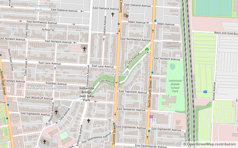
The Iuka Ravine Historic District is a historic district in the University District of Columbus, Ohio. The site was listed on the Columbus Register of Historic Properties in 1985 and the National Register of Historic Places in 1986.
North Market Historic District
The North Market Historic District is a historic district in Downtown Columbus, Ohio. The site was listed on the National Register of Historic Places in 1982 and the Columbus Register of Historic Properties in 1983. The district consists of two-to-four-story warehouses, dating from 1880 to 1910.
Near Northside Historic District
The Near Northside Historic District is a historic district in Columbus, Ohio. The large district encompasses portions of the University District, Harrison West, and nearly all of Victorian Village.
Indianola Forest Historic District
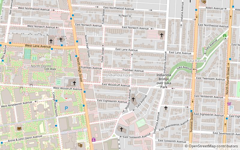
Indianola Forest Historic District is a historic district in the University District of Columbus, Ohio. The district lies east of the Ohio State University. Architectural styles of the houses in the district include Craftsman, Tudor Revival, and Dutch Colonial Revival.
Short North Historic District
The Short North Historic District is a historic district in The Short North neighborhood of Columbus, Ohio. The district was listed on the National Register of Historic Places in 1990.
Milo-Grogan
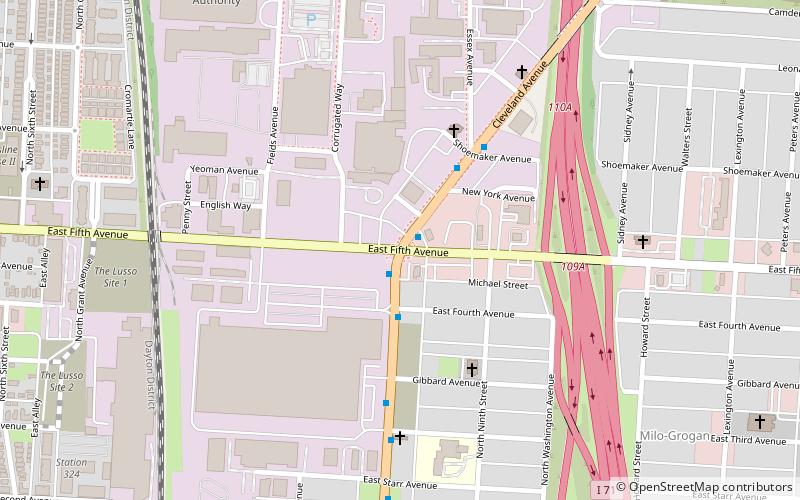
Milo-Grogan is a neighborhood of Columbus, Ohio. The neighborhood was settled as the separate communities of Milo and Grogan in the late 1870s.
21st & E. Broad Historic Group
The 21st & E. Broad Historic District is a historic district on Broad Street in the Near East Side of Columbus, Ohio. The district was added to the Columbus Register of Historic Properties in 1988. Its properties were added to the E. Broad St. Multiple Resources Area on the National Register of Historic Places in 1986.
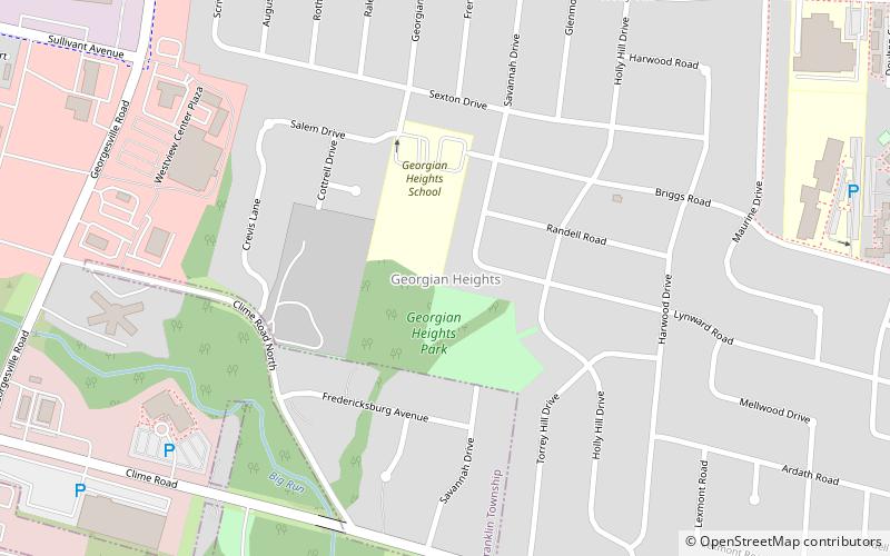
Georgian Heights
Georgian Heights is a neighborhood in West Columbus, in Columbus, Ohio, United States. It neighbors Holly Hill. The two are bounded together by Sullivant Avenue on the north, Clime Road on the south, Georgesville Road on the west, and Demorest Road on the east.
Fifth by Northwest
Fifth by Northwest is a neighborhood in Columbus, Ohio. Covering about 700 acres, Fifth by Northwest is approximately bound by Glenn Avenue, Wyandotte Road, & Kinnear to the north, Third Avenue to the south, Kenny Road and Olentangy River Road to the east and Northstar Road to the west.
New Indianola Historic District
The New Indianola Historic District is a historic district in the Weinland Park and Indianola Terrace neighborhoods in Columbus, Ohio's University District. The site was listed on the National Register of Historic Places in 1985 and the Columbus Register of Historic Properties in 1987.
North Columbus Commercial Historic District
The North Columbus Commercial Historic District is a historic district in the Old North Columbus neighborhood of Columbus, Ohio. It was listed on the National Register of Historic Places in 2010. The district is centered on High Street, one of the city's two main thoroughfares.
Map

