Écrins National Park: Natural Attraction
Places and attractions in the Natural attraction category
Meije
La Meije is a mountain in the Massif des Écrins range, located at the border of the Hautes-Alpes and Isère départements. It overlooks the nearby village of La Grave, a mountaineering centre and ski resort, well known for its off-piste and extreme skiing possibilities, and also dominates the view west of the Col du Lautaret.
Lac du Lauvitel
Lac du Lauvitel is a lake in the commune of Le Bourg-d'Oisans in the Isère department of France. At an elevation of 1530 m, the lake has a surface area of 0.35 km². It is situated in the Vénéon valley. It is the largest lake of the Écrins massif and forms one slope of the Oisans region.
Grande Ruine
La Grande Ruine is a mountain in Hautes-Alpes, France. It belongs to the Massif des Écrins in the Dauphiné Alps and is located in the heart of the wilderness of the Écrins National Park roughly halfway between its illustrious neighbours Barre des Écrins and Meije.
Pic de Neige Cordier
Pic de Neige Cordier is a mountain in the Massif des Écrins range, located in the Hautes-Alpes département of France. The mountain is named after the French alpinist Henri Cordier.
Roche Faurio
Roche Faurio is a mountain of the Massif des Écrins in the Dauphiné Alps in Isère, France. It lies in front of the mighty north face of the Barre des Écrins and towers over the Glacier Blanc. The mountain lies inside the Écrins National Park.
Les Bans
Les Bans is a mountain in the Massif des Écrins in the Dauphiné Alps, first climbed by W. A. B. Coolidge, Christian Almer and U. Almer on July 14, 1878.
Olan Mountain
The Olan is a mountain in the Massif des Écrins in the French Alps. It dominates the valleys of Valgaudemar, Valjouffrey, and Vénéon in the heart of Écrins National Park.
Vieux Chaillol
The Vieux Chaillol is a mountain in the Écrins National Park, located in Hautes-Alpes, southeastern France. It has an elevation of 3,163 Meters above sea level and forms a moderate to hard, full day hike from the starting point in the village of Chaillol 1600 or from the township of Saint-Michel-de-Chaillol.
Le Râteau
Le Râteau is a mountain in the French Alps. Located in the Massif des Écrins, the mountain is 3,809 metres tall. The mountain overlooks the valley of the Romanche river and the village of La Grave to the north. The summit is very close to Meije, which is separated by a ridge.
Glacier Blanc
The Glacier Blanc is a glacier in the French département of Hautes-Alpes. Its name derives from the fact that – unlike the nearby Glacier Noir – its surface appears pristinely white due to an absence of morainic debris.
Les Agneaux
Les Agneaux is a mountain of the Massif des Écrins in Hautes-Alpes, France. Standing at 3,664 m in elevation, It is located in the commune of Pelvoux.
Roche de la Muzelle
The Roche de la Muzelle is the most western peak of the Massif des Ecrins. Located near Les Deux Alpes, the mountain - with its beautiful pyramid - dominates the resort from the south.
Glacier Noir
The Glacier Noir is a glacier in the Massif des Écrins in the French Alps. It is located in the département of Hautes-Alpes.
Le Rochail
Le Rochail is a mountain in the French Alps. Located in the Massif des Écrins, the mountain has a summit elevation of 3,023 metres.
Aiguille des Arias
Aiguille des Arias is a mountain of the French Alps in Isère. Located in the Massif des Écrins, the mountain is 3,403 m tall. The mirror of Fétoules is a lake that has reflection of Tête de Lauranoure to right Le Bec du Canard and the l'Aiguille des Arias in the center.
Pic Sans Nom
The Pic Sans Nom is a mountain in the Massif des Écrins in the French Alps. It lies in the middle of the steep mountain mass that runs south-west from Mont Pelvoux to the Ailefroide.
Barre des Écrins
Towering peak with expansive views The Barre des Écrins is a mountain in the French Alps with a peak elevation of 4,102 metres. It is the highest peak of the Massif des Écrins and the Dauphiné Alps and the most southerly alpine peak in Europe that is higher than 4,000 metres.
Pic Gaspard
Pic Gaspard is a mountain in the French Alps, one of the tallest in the Massif des Écrins. It was named in honor of the celebrated L'Oisans guide Pierre Gaspard, conqueror of La Meije on 16 August 1877 in the company of Emmanuel Boileau de Castelnau.
Mont Pelvoux
Mont Pelvoux is a mountain in the Massif des Écrins in the French Alps. It stands 3,946 m in elevation. For many years, Mont Pelvoux was believed to be the tallest mountain in the region, since the taller Barre des Écrins cannot be seen from the Durance valley.
Les Rouies
Les Rouies is a mountain in the French Alps. Located in the Massif des Écrins, the mountain is 3,589 m tall.
Dauphiné Alps
The Dauphiné Alps are a group of mountain ranges in southeastern France, west of the main chain of the Alps. Mountain ranges within the Dauphiné Alps include the Massif des Écrins, Belledonne, the Taillefer range and the mountains of Matheysine.
Massif des Écrins
The mountains of the Massif des Écrins form the core of the Écrins National Park in France.
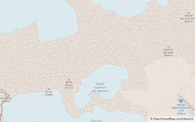
Roche Méane
Roche Méane is a two-summit peak in the Massif des Écrins in the French Alps. It is located on the crest between Barre des Écrins and La Meije.
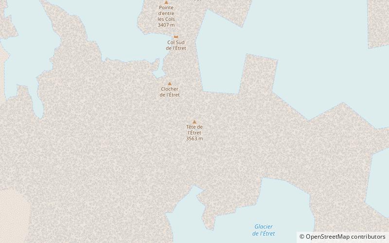
Tête de l'Etret
Tête de l'Étret is a mountain in the French Alps, located in the Massif des Écrins. It has a summit elevation of 3,559 m above sea level.
Ailefroide
The Ailefroide is a mountain in the Massif des Écrins in the French Alps, and is the third highest peak in the Dauphiné Alps after the Barre des Écrins and La Meije. It lies at the south-western end of the Mont Pelvoux–Pic Sans Nom–Ailefroide ridge.
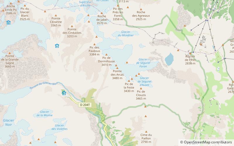
Pointe des Arcas
Pointe des Arcas is a mountain in the French Alps. Located in the Massif des Écrins, the mountain is 3,478 metres tall.
Tête des Fétoules
Tête des Fétoules is a mountain in the French Alps. Located in the Massif des Écrins, the mountain is 3,459 m tall.
Pointe de l'Aiglière
Pointe de l'Aiglière is a mountain in the French Alps. Located in the Massif des Écrins, the mountain is 3,307 m tall.
Pic de la Grave
Pic de la Grave - a peak in the dolphin alps, parts of the Western Alps. It lies in south-eastern France in the region of Owernia-Rodan-Alpa, near the border with Italy. The peak can be reached from the Refuge de la Selle shelter.
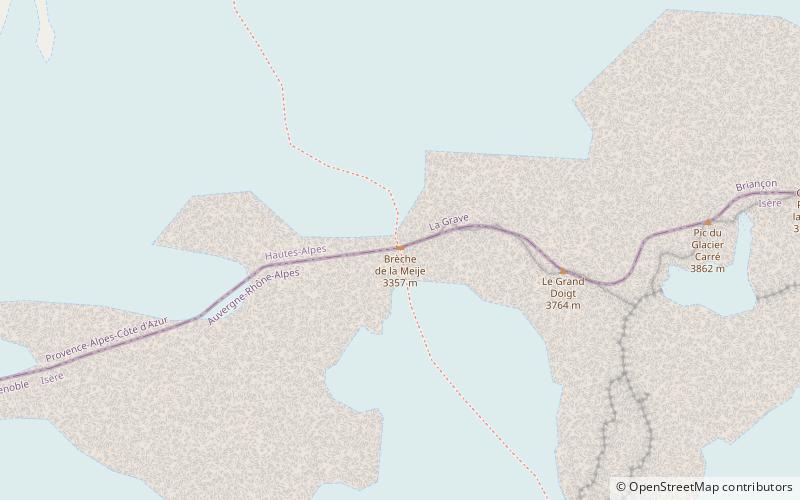
Brèche de la Meije
The Brèche de la Meije is a high mountain pass in the Dauphiné Alps in Savoie in southeastern France. It is in the massif of Écrins in the Écrins National Park. It is an easy climb and an excellent starting course. The climb from the bivouac to the foot of the glacier of Etançons takes 2½ hour.
Pic du Tourond
The Tourond peak is a peak culminating at 2 743 m altitude in the Écrins massif, in the Hautes-Alpes in the Provence-Alpes-Côte d'Azur region. It belongs to the natural region of Champsaur and is on the border of the Écrins National Park.
Pic des Souffles
Pic des Souffles is a mountain in the French Alps. Located in the Massif des Écrins, the mountain is 3,099 m tall.
Map


