le Pyramides Calcaires

Gallery (2)
Map
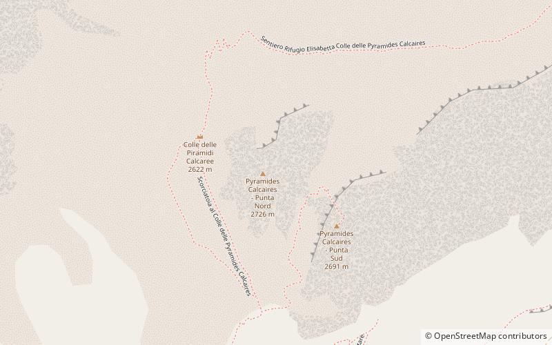
Map
Gallery
Facts and practical information
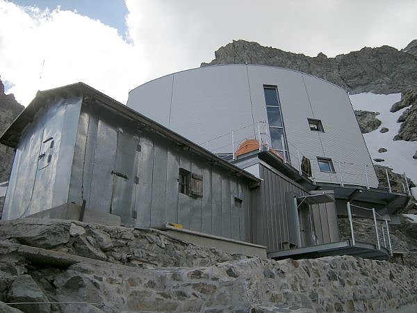
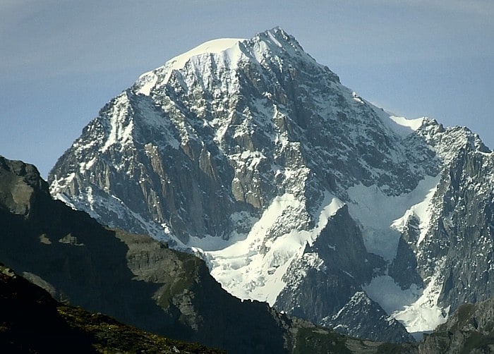
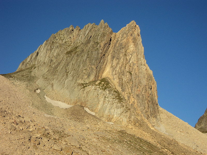
The Pyramides Calcaires are twin peaks located in the upper Val Veny just above the Elisabeth refuge and just before the Col de la Seigne. They are located in the municipality of Courmayeur.
Coordinates: 45°45'43"N, 6°49'13"E
Location
Aosta Valley
ContactAdd
Social media
Add
Day trips