Trek Zone

Aiguille des Angroniettes

#2635 among destinations in Italy

Nature, Natural attraction, Mountain
Aiguille des Angroniettes location map
Map

Facts and practical information
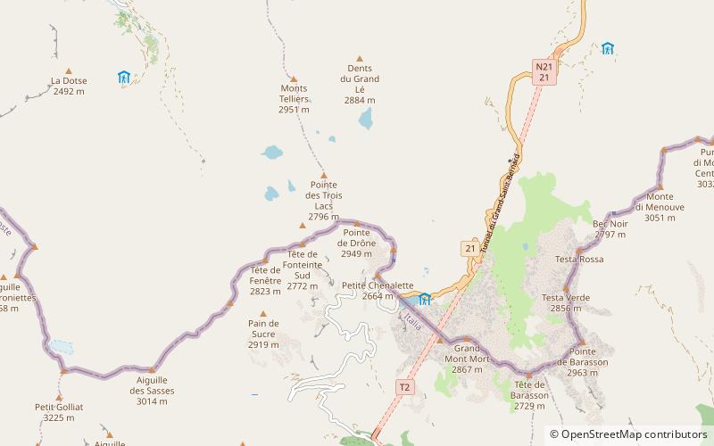
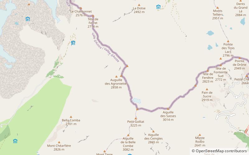
Elevation: 9465 ftProminence: 125 ftCoordinates: 45°52'17"N, 7°5'38"E
Location

Aosta ValleyItaly

ContactAdd
Social media
Add
Day trips

Aiguille des Angroniettes – popular in the area (distance from the attraction)

Nearby attractions include: Refuge Elena, Great St Bernard Lake, Rifugio Giorgio Bertone vecchio, Grand Golliat.

  • refuge elena courmayeur1.6 miNW
  • great st bernard lake3.5 miE
  • rifugio giorgio bertone vecchio courmayeur7 miSW
  • grand golliat0.9 miSE
  • aiguille de triolet4.6 miNW
  • aiguille de leschaux4.4 miW
  • grande rochere4.3 miS
  • pointe de drone location map
    3.1 miE
  • testa di liconi6.3 miSW
  • rifugio walter bonatti3.4 miSW
  • rifugio cesare dalmazzi3 miNW

Where to next? Visit aosta valley Aosta Valley region page or discover the top tourist attractions in Italy.