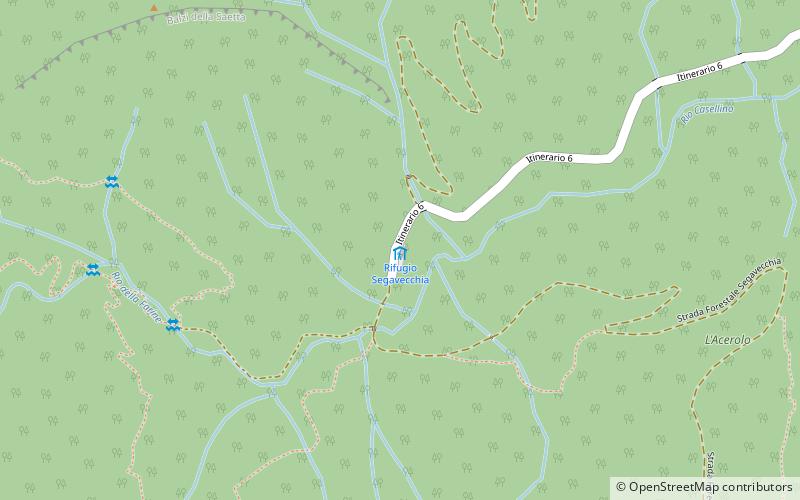
Rifugio Segavecchia
Map

Map

Facts and practical information
The Segavecchia refuge is located at 912 m above sea level in the Tuscan-Emilian Apennines in the province of Bologna. The name does not allude, as it may seem to popular imagination, to the Romagnolo ritual of the Segavecchia, but instead refers to the old sawmill operated by water from the nearby Silla stream.
The refuge can be reached from Monteacuto delle Alpi and is an excellent starting point for excursions to Corno alle Scale and La Nuda Mountain.
Coordinates: 44°7'26"N, 10°51'25"E
Location
Emilia-Romagna
ContactAdd
Social media
Add
Day trips
Rifugio Segavecchia – popular in the area (distance from the attraction)
Nearby attractions include: Suspension Bridge, Piscina Comunale Conca Del Sole, Capanno Tassoni, Pistoia Mountains Astronomical Observatory.


