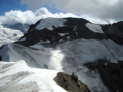
Tête Blanche
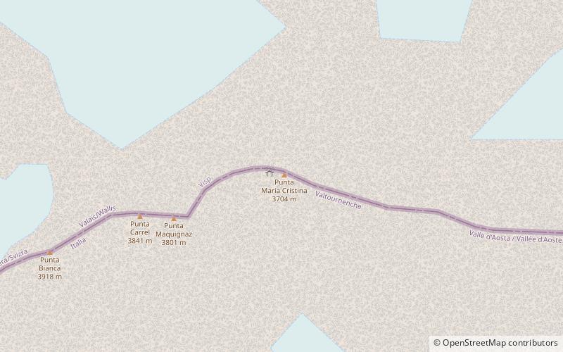
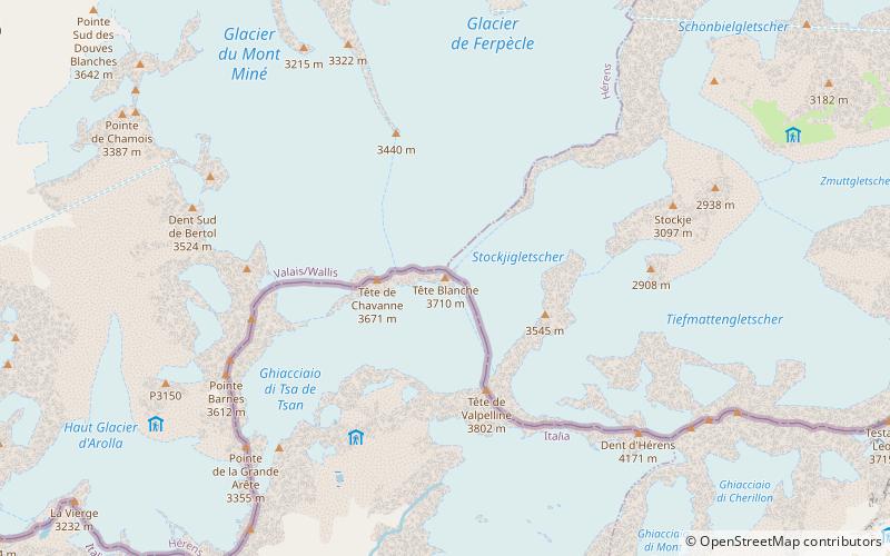
Map
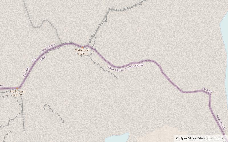
Map

Facts and practical information
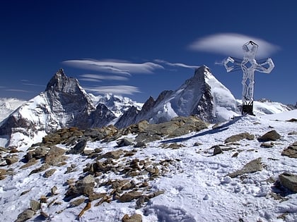
Tête Blanche is a mountain of the Pennine Alps on the Swiss-Italian border. Its summit is the tripoint between the valleys of Hérens, Mattertal and Valpelline, thus forming the linguistic tri-point between French, German, and Italian-speaking areas. ()
Location
Aosta Valley
ContactAdd
Social media
Add
Day trips
Tête Blanche – popular in the area (distance from the attraction)
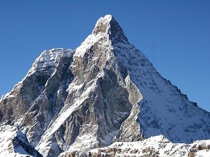
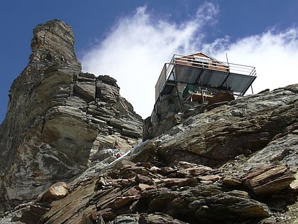
Nearby attractions include: Rif. Oriondé, Refuge Nacamuli au col Collon, Dent d'Hérens, Golf Club del Cervino.
