Rifugio Antonio Berti, Dolomites

Gallery (1)
Map
Map
Facts and practical information
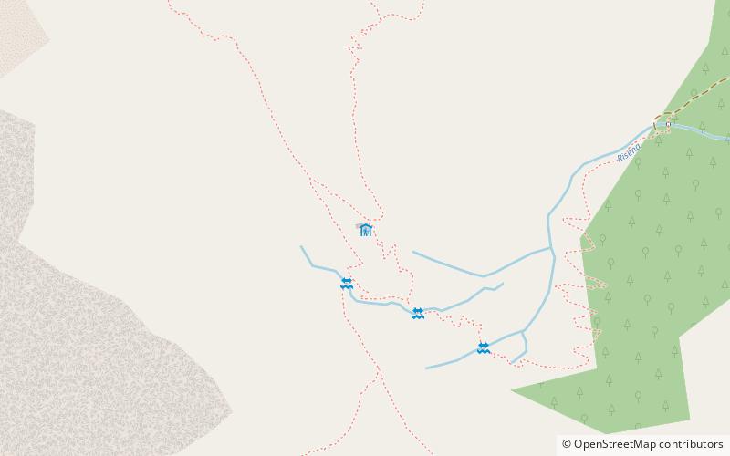
The Antonio Berti refuge is a dolomitic alpine refuge is located on the southern edge of the vast Vallon Popera in the Comelico-Auronzo-Sesto Dolomites in the municipality of Comelico Superiore province of Belluno, an area declared a World Heritage Site - Dolomites UNESCO in 2009, at an altitude of 1950 meters. It is surrounded by the great walls of Cima Bagni 2950 m, Monte Popera 3046 m, Cima Undici 3092 m and Croda Rossa 2965 m.
Day trips


