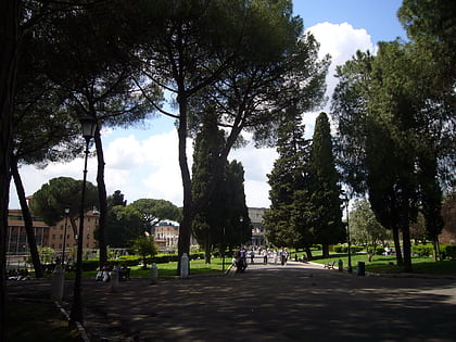
Via Merulana, Rome
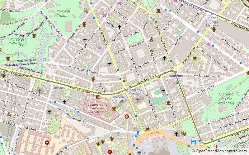
Map
Map

Facts and practical information
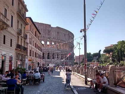
Via Merulana is a street in the Rione Monti of Rome, Italy. It is south of the main train station of Rome, near the Oppian Hill. The street connects two major papal basilicas: the Santa Maria Maggiore to the St John Lateran. The name derives from family that owned the land during the medieval period. The present street was initiated by Pope Gregory XIII in the late 16th century and finished not long after by Pope Sixtus V. ()
Address
EsquilinoRome
ContactAdd
Social media
Add
Day trips
Via Merulana – popular in the area (distance from the attraction)
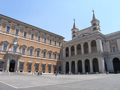
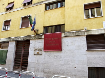
Nearby attractions include: Archbasilica of Saint John Lateran, Major basilica, Lateran Palace, Museum of the Liberation of Rome.
Frequently Asked Questions (FAQ)
Which popular attractions are close to Via Merulana?
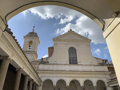
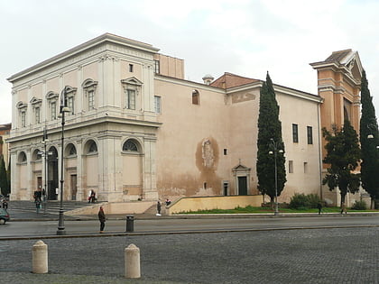
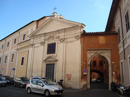
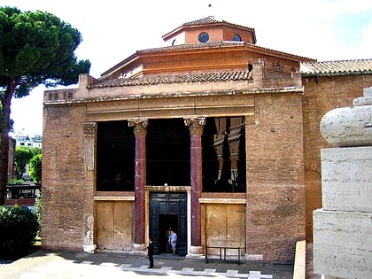
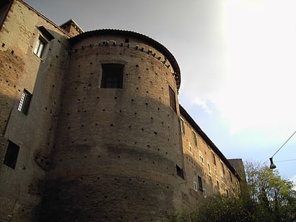
Nearby attractions include Santi Marcellino e Pietro al Laterano, Rome (2 min walk), Sant'Antonio da Padova in Via Merulana, Rome (3 min walk), Museum of the Liberation of Rome, Rome (5 min walk), Santi Andrea e Bartolomeo, Rome (6 min walk).
How to get to Via Merulana by public transport?
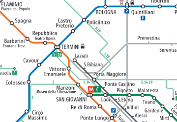
The nearest stations to Via Merulana:
Bus
Tram
Metro
Light rail
Train
Trolleybus
Bus
- Merulana/Labicana • Lines: 16, 714, 717, 75, C3 (1 min walk)
- Manzoni/Merulana • Lines: n11 (2 min walk)
Tram
- Manzoni/Merulana • Lines: 3, 8 (2 min walk)
- Manzoni • Lines: 3, 8 (4 min walk)
Metro
- Manzoni • Lines: A (5 min walk)
- Vittorio Emanuele • Lines: A (9 min walk)
Light rail
- Termini Laziali • Lines: Fc1 (13 min walk)
- Roma Termini • Lines: Fl6, Fl7 (19 min walk)
Train
- Roma Termini (19 min walk)
- Roma Tuscolana (33 min walk)
Trolleybus
- Volturno/Cernaia • Lines: 90 (28 min walk)
- XX Settembre/Min. Finanze • Lines: 90 (30 min walk)

 Metro / Tram / Rail

