Nottingham: Neighbourhood
Places and attractions in the Neighbourhood category
Categories
- Church
- Museum
- Park
- Nightlife
- Gothic Revival architecture
- Street
- Shopping
- Sport
- Sport venue
- Historical place
- Area
- Theater
- Concerts and shows
- Shopping centre
- History museum
- Bridge
- Arenas and stadiums
- Lake
- Art museum
- Monuments and statues
- Memorial
- Art gallery
- Village
- Library
- Town
- Neighbourhood
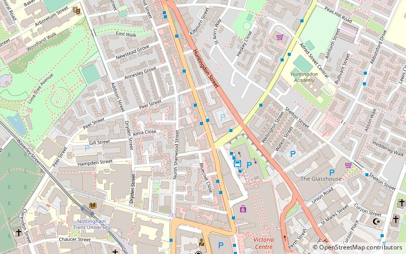
Hyson Green
Hyson Green is a neighbourhood in Nottingham, England. It is home to a variety of cultures with a thriving local economy. Hyson Green has the largest ethnic minority population in the city.
Sneinton
Sneinton is a village and suburb of Nottingham, England. The area is bounded by Nottingham city centre to the west, Bakersfield to the north, Colwick to the east, and the River Trent to the south.
Mapperley
Mapperley is a residential and commercial area of north-eastern Nottingham, England. The area is bounded by Sherwood to the north-west, Thorneywood to the south and Gedling to the east.
Broxtowe Estate
Broxtowe is a council estate in the City of Nottingham which is part of the Aspley ward. The estate is located 3 miles from the City Centre and lies west of Aspley and Cinderhill, south of Bulwell, east of Strelley and north of Bilborough.
The Meadows
The Meadows or Meadows is an area of Nottingham, England, south of city centre, close to the River Trent and connected to West Bridgford in the Borough of Rushcliffe by Trent Bridge and the Wilford Suspension Bridge.
The Park Estate
The Park Estate is a private residential housing estate to the west of Nottingham city centre, England. It is noted for its Victorian architecture, although many of the houses have been altered, extended or converted into flats. The estate uses gas street lighting, which is believed to be one of the largest networks in Europe.
Nottingham Urban Area
The Nottingham Built-up Area, Nottingham Urban Area, or Greater Nottingham is an area of land defined by the Office for National Statistics as which is built upon, with nearby areas linked if within 200 metres - see the List of urban areas in the United Kingdom article for a broader definition.
Lace Market
The Lace Market is a historic quarter-mile square area of Nottingham, England. It was the centre of the world's lace industry during the British Empire and is now a protected heritage area.
Nottingham city centre
Nottingham city centre is the cultural, commercial, financial and historical heart of Nottingham, England. Nottingham's city centre represents the central area of the Greater Nottingham conurbation.
Cinderhill
Cinderhill is an area in the City of Nottingham. It is located roughly 3.1 miles from the City Centre, and surrounding areas include Bulwell to the north, Aspley and Broxtowe to the south, Basford to the east and Nuthall to the west.
Bestwood Park
Bestwood Park is a large post-war council estate located to the north of the city of Nottingham, England, and roughly bounded by Beckhampton Road, Oxclose Lane and Queens Bower...
Forest Fields
Forest Fields is an inner-city area of the City of Nottingham, in the county of Nottinghamshire, England.
Highbury Vale
Highbury Vale is an area located in the city of Nottingham, and is located in the Bulwell Forest ward. The area is located roughly 5.4 miles from the City Centre, and about 1 mile from Bulwell.
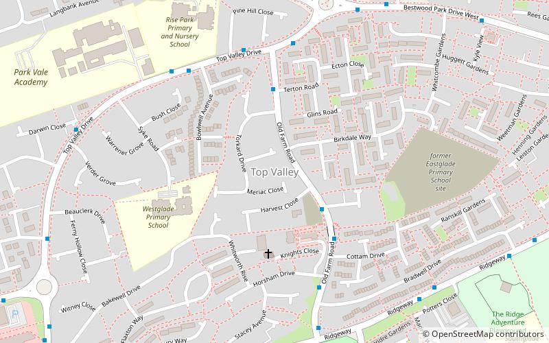
Top Valley
Top Valley is a largely residential area in the north west of Nottingham, England. It is located to the south of Rise Park, to the north and west of Bestwood, to the southwest of Bestwood Village and to the east of Bulwell.
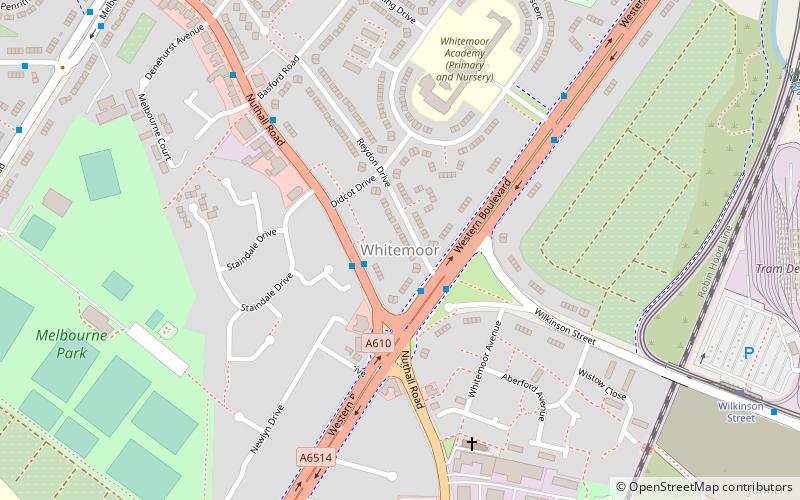
Whitemoor
Whitemoor is an area of the City of Nottingham. It lies next to Old Basford to the north, New Basford and Hyson Green to the east, Aspley to the west and Beechdale to the south. There is a primary school in the area, Whitemoor Primary School. There is a local doctors surgery and pharmacy.
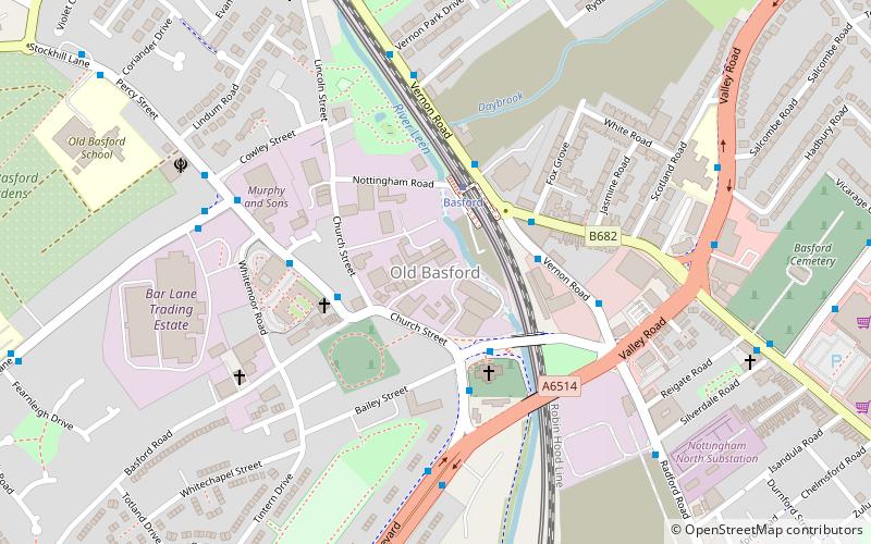
Old Basford
Old Basford is an area of Nottingham located next to New Basford being split by Valley Road/Western Boulevard. The parish church of St Leodegarius was built in the 12th century.
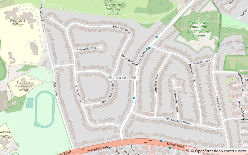
Bramcote Hills
Bramcote Hills forms the northern area of the village and Nottingham suburb of Bramcote, Nottinghamshire, built in the 1950s. It is separated from the main part of the village by the A52 Derby Road.
Dorket Head
Dorket Head is the name of the immediate area surrounding the junction of Lime Lane and Calverton Road in the town of Arnold, Nottinghamshire.
Clifton
Clifton is a large suburban village and historic manor in the city of Nottingham, England. In 2020 it had an estimated population of 22,749. Clifton has two council wards in the City of Nottingham with a total population taken at the 2011 census of 26,835.
Lady Bay
Lady Bay is an area of West Bridgford, in Nottinghamshire, England, bounded by the River Trent to the north and the Grantham Canal to the south. It is within 2 miles of the centre of Nottingham, but is more suburban/semi-rural in its character.
Map


