Austin: Neighbourhood
Places and attractions in the Neighbourhood category
Categories
- Museum
- Park
- History museum
- Shopping
- Art museum
- Bridge
- Church
- Theater
- Concerts and shows
- Historical place
- Sport
- Sport venue
- Nightlife
- Outdoor activities
- Specialty museum
- Art gallery
- Library
- Shopping centre
- Cinema
- View point
- Event space
- Monuments and statues
- Natural attraction
- Gothic Revival architecture
- Tower
- O. Henry
- Neighbourhood
- Skyscraper
- Cemetery
- Vernacular architecture
- Greek Revival architecture
- Arenas and stadiums
Downtown Austin
Downtown Austin is the central business district of Austin, Texas. Downtown is located on the north bank of the Colorado River. The approximate borders of Downtown include Lamar Boulevard to the west, Martin Luther King Jr.
Congress Avenue Historic District
Congress Avenue is a major thoroughfare in Austin, Texas. The street is a six-lane, tree lined avenue that cuts through the middle of the city from far south Austin and goes over Lady Bird Lake leading to the Texas State Capitol in the heart of Downtown.
Mueller Community
Mueller is a 711-acre Planned Unit Development in the east-central portion of the city of Austin, Texas, United States.
Lake Austin
Lake Austin, formerly Lake McDonald, is a water reservoir on the Colorado River in Austin, Texas. The reservoir was formed in 1939 by the construction of Tom Miller Dam by the Lower Colorado River Authority.
South River City
South River City is a community located in Austin, Texas. Also frequently called Travis Heights, the neighborhood is located south of the city's urban core, just below Lake Lady Bird in South Austin. The area encompasses a portion of ZIP code 78704.
Greater Austin
The Austin–Round Rock-Georgetown Metropolitan Statistical Area is a five-county metropolitan area in the U.S. state of Texas, as defined by the Office of Management and Budget.
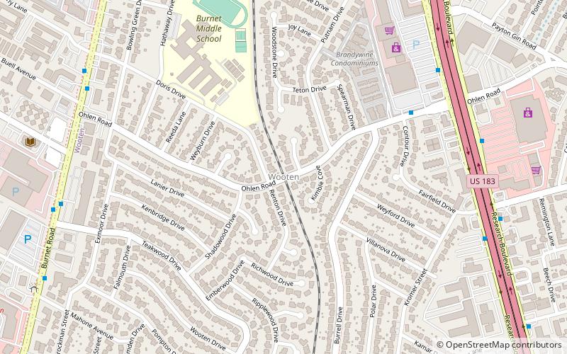
Wooten
The Wooten neighborhood is located in Austin, Texas. It is bounded by Burnet Road, Anderson Lane, and Research Blvd and bisected by Ohlen Road.
Rainey Street Historic District
The Rainey Street Historic District is a street of historic homes, many of the bungalow style, in downtown Austin, Texas. Rainey Street is positioned near Lady Bird Lake and Interstate 35 in the southeast corner of downtown.
Little Campus
The Little Campus is a historic district and part of the University of Texas at Austin campus in Austin, Texas. Originally built in 1856 as the Texas Asylum for the Blind, the complex was used for a variety of purposes through the late nineteenth and early twentieth centuries.
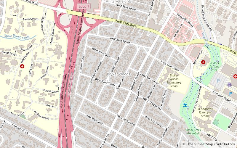
Bryker Woods
Bryker Woods is an older Austin, Texas, central city neighborhood developed in the 1930s, the center of which is approximately located at 30°18′17″N 97°45′06″W.
Swedish Hill Historic District
The Swedish Hill Historic District is a former Swedish enclave that is now a residential area of downtown Austin, Texas.
Bremond Block Historic District
The Bremond Block Historic District is a collection of eleven historic homes in downtown Austin, Texas, United States, constructed from the 1850s to 1910.
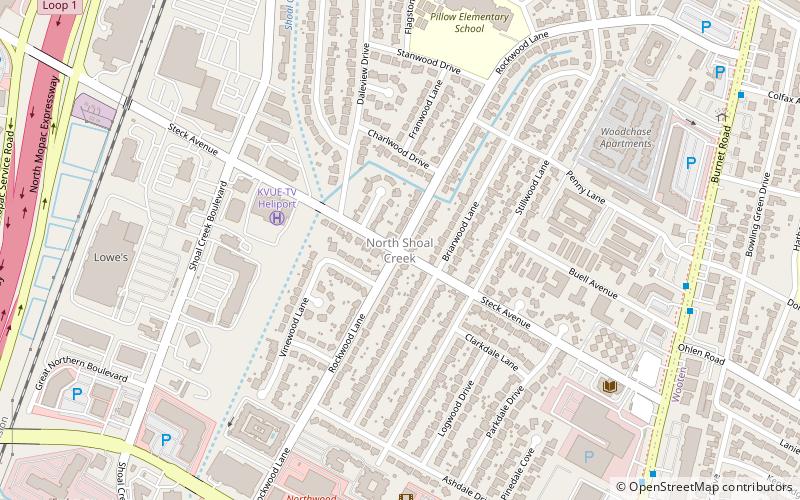
North Shoal Creek
North Shoal Creek is a neighborhood in north central Austin, Texas established in the 1960s. North Shoal Creek comprises United States Census tract 18.17 and ZIP code 78757 in Travis County.
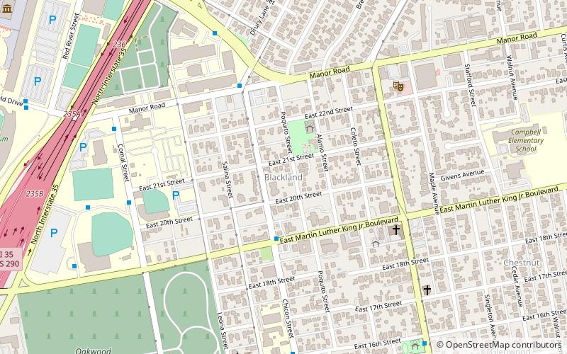
Blackland
Blackland is a historically black neighborhood on the east side of Austin, Texas, located north of Martin Luther King, Jr. Blvd, south of Manor Road, east of I-35, and west of Chestnut Street.
East Riverside-Oltorf
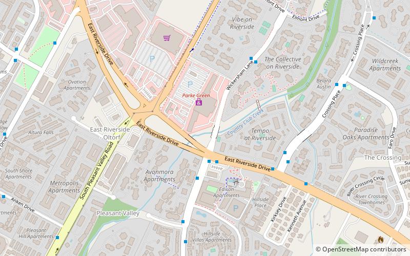
East Riverside-Oltorf is a neighborhood in Austin, Texas, located southeast of the city's urban core. The East Riverside, Parker Lane, and Pleasant Valley neighborhoods together form the East Riverside-Oltorf Combined Neighborhood Planning Area.
Montopolis
Montopolis is a neighborhood in Austin, Texas. Located southeast of the city's urban core, Montopolis encompasses part of ZIP code 78741.
Onion Creek
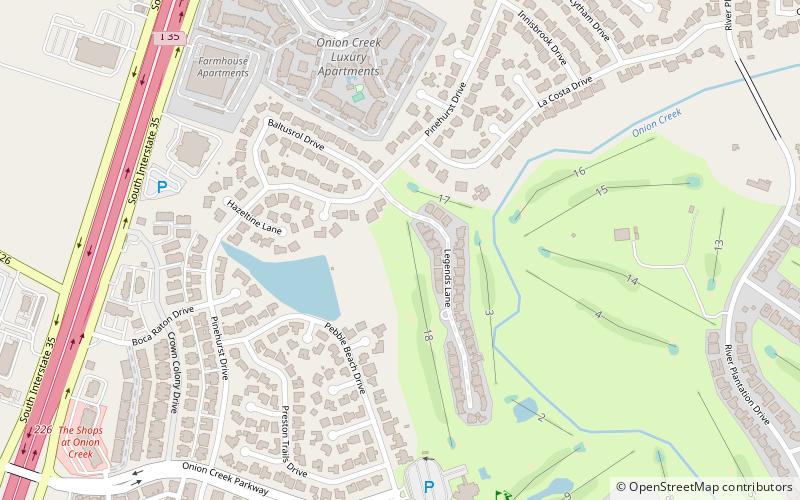
Onion Creek is a neighborhood in Austin. Onion Creek is also the name of a creek that starts in Hays County, Texas and empties into the Colorado River.
Moore's Crossing Historic District
Moore's Crossing Historic District is a community located in rural Travis County nine miles southeast of Austin, Texas near the Austin–Bergstrom International Airport.
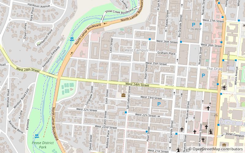
Old West Austin Historic District
The Old West Austin Historic District is a residential community in Austin, Texas, United States. It is composed of three neighborhoods located on a plateau just west of downtown Austin: Old Enfield, Pemberton Heights, and Bryker Woods.
Circle C Ranch
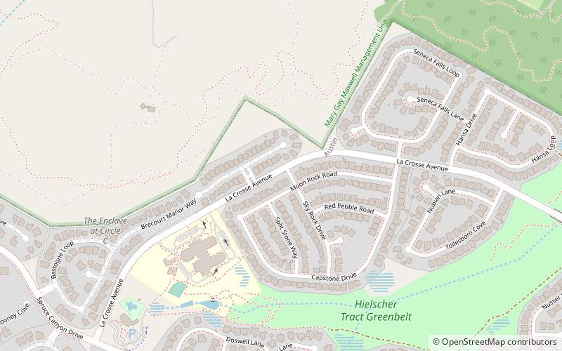
Circle C Ranch is a large master-planned community in southwest Austin, Texas, USA. Development of Circle C Ranch began in 1982, with the first homes in the community in built in 1986.
Travis Heights
Travis Heights is a historic neighborhood in south Austin, Texas, United States, bounded by Lady Bird Lake on the north, Interstate 35 on the east, Congress Avenue on the west and Oltorf Street on the south.
Granada Hills
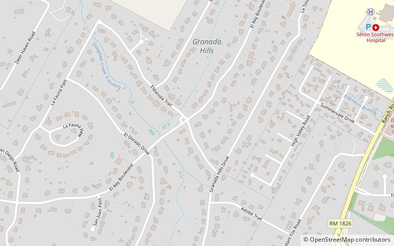
Granada Hills is a neighborhood located in southwest Austin, Texas. Granada Hills is located in ZIP code 78737. The neighborhood boundaries are FM 1826 on the south and east sides, Highway 290 and the Scenic Brook neighborhood to the north, and Southview Road and Belterra on the west side.
East Cesar Chavez
East César Chávez is a neighborhood in Austin, Texas. It is located in the central-east part of Austin's urban core on the north bank of the Colorado River. The neighborhood encompasses much of ZIP code 78702.
West Line Historic District
The West Line Historic District is a residential community in central Austin, Texas, United States. The district encompasses an approximately 90-block tract of land located west of downtown.
Willow–Spence Streets Historic District
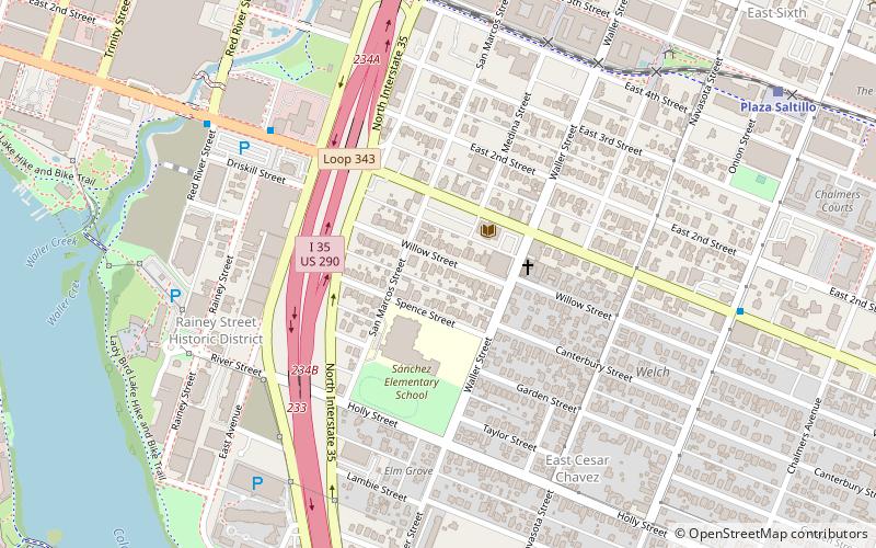
The Willow–Spence Streets Historic District is a neighborhood that lies east of downtown Austin, Texas. Its houses, churches, and commercial buildings were built in the early twentieth century. It is bounded roughly by Interstate 35 to the west, East César Chávez Street to the north, and Spence Street to the south.
Barton Hills
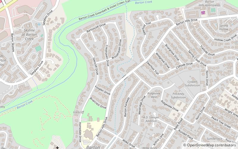
Barton Hills is a neighborhood in Austin, Texas. It is located in south Austin, and encompasses part of ZIP code 78704.
South Lamar
South Lamar, Austin, Texas is a neighborhood in south Austin, Texas, United States. South Lamar is bounded by Ben White Boulevard/TX-71 and Westgate to the south, South Lamar Boulevard and Barton Hills and Galindo to the east.
Bouldin Creek
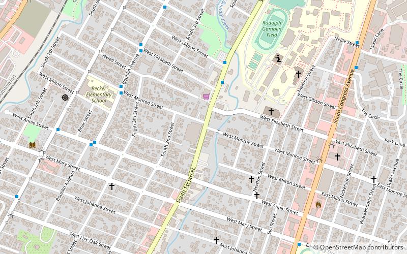
Bouldin Creek is a neighborhood in Austin, Texas, originally created at the turn of the 20th century. It features several historic homes remaining from that era and countless more from the period of rapid growth in the 1920s and 1930s that followed.
Shadow Lawn Historic District
The Shadow Lawn Historic District is a historic district in central Austin, Texas that has a cohesive collection houses built in the southeast portion of Hyde Park during the late 1920s and 1930s.
Zilker
Zilker is a neighborhood in south central Austin, Texas. It extends south of Lady Bird Lake, approximately bounded by the Union Pacific Railway to the southeast/south, Barton Skyway to the south, Rabb Road and Azie Morton Road to the west and Lady Bird Lake to the north.
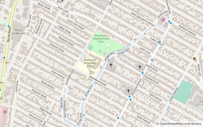
Allandale
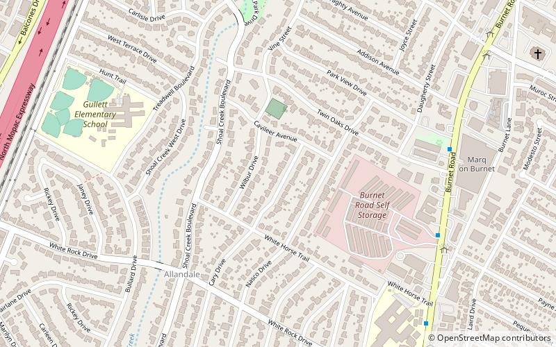
Allandale, Austin, Texas is a neighborhood in North Central Austin, in the U.S. State of Texas known for its large lots, mature trees, and central location.
Wheatville
Wheatville was a historically black neighborhood in the city of Austin, Texas.
Galindo
Galindo is a neighborhood in Austin, Texas. The area covers part of ZIP code 78704 in south Austin. Galindo is bounded to the south by Ben White Boulevard and the South Manchaca neighborhood, to the east by Dawson and South First Street, to the north by Oltorf Road and Bouldin Creek and to the west by the South Lamar neighborhood.
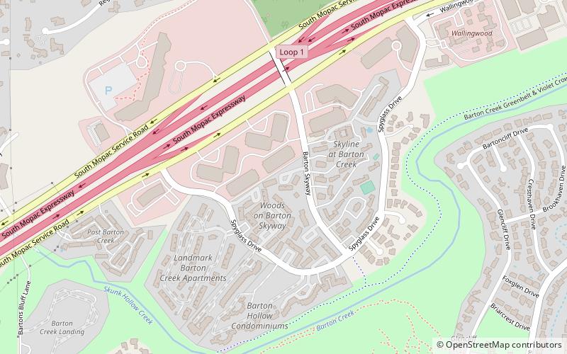
Spyglass-Barton's Bluff
Spyglass-Barton's Bluff is a neighborhood in Austin, Texas. It is located southwest of the city's urban core, and encompasses ZIP codes 78746 and 78704.
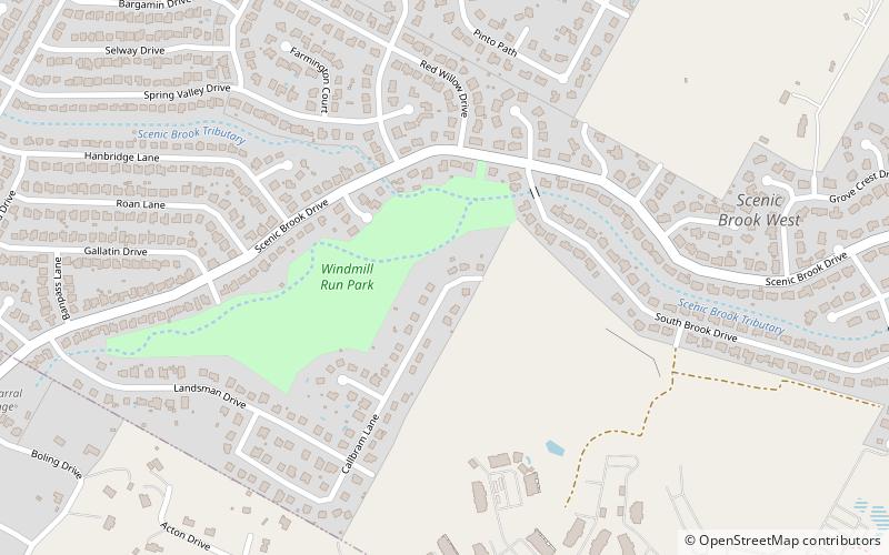
Scenic Brook
Scenic Brook is a neighborhood located in southwest Austin, Texas. Scenic Brook is located in ZIP codes 78735 and 78736. The boundaries are the intersections of Highway 290 and Highway 71 to on the north, south, and east sides, and Covered Bridge Drive and Scenic Brook Drive on the west side.
Brown Herman
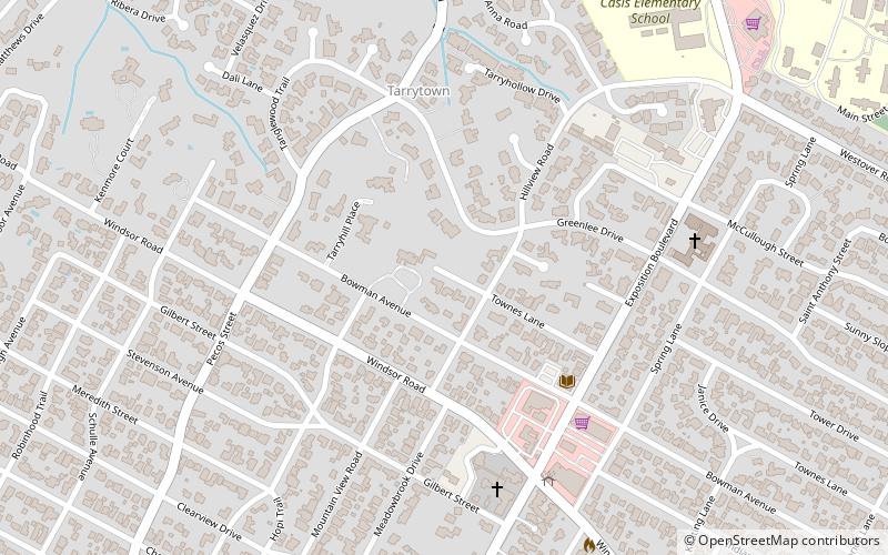
Brown Herman is a northwest central neighborhood located just west of downtown Austin, Texas. It is often included within the boundaries of Tarrytown or Bryker Woods.
North Burnet–Gateway
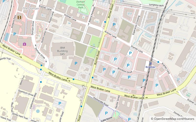
North Burnet–Gateway is a 2,300 acre neighborhood in northwest Austin, Texas.
Map


