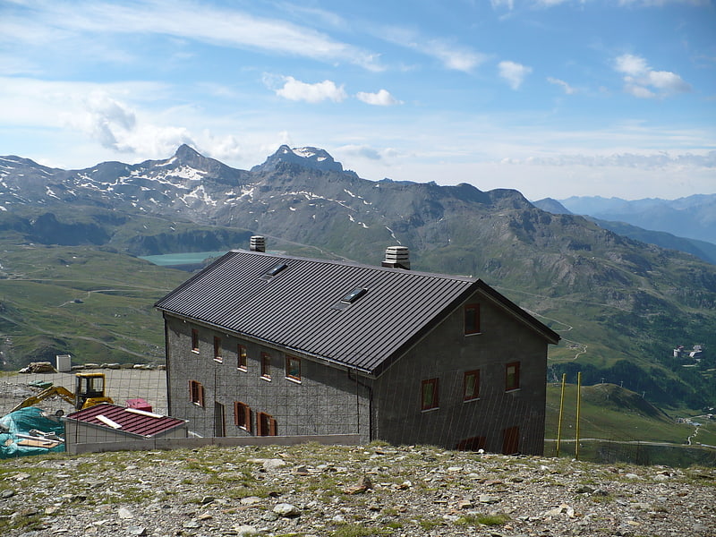
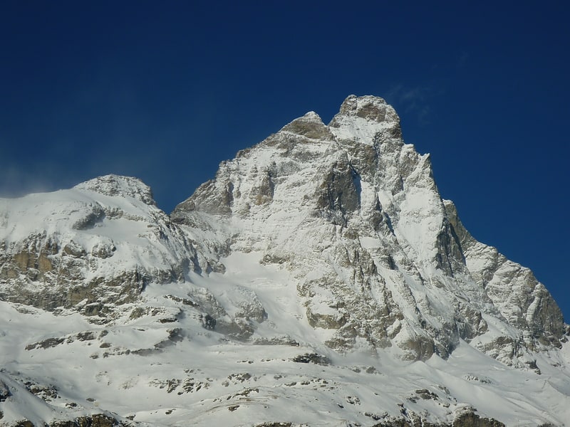
Punta Lioy, Breuil-Cervinia

Gallery (2)
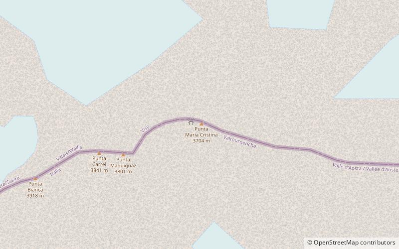
Map
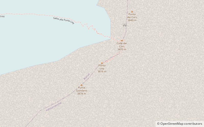
Map
Gallery
Facts and practical information
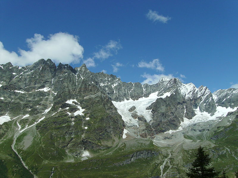
Punta Lioy is a 3816 m above sea level mountain in the Pennine Alps, in the Aosta Valley. It is part of the Grandes Murailles, on the watershed between Valpelline and Valtournenche.
Coordinates: 45°56'49"N, 7°35'56"E
Address
Breuil-Cervinia
ContactAdd
Social media
Add
Day trips