Bristol: Neighbourhood
Places and attractions in the Neighbourhood category
Categories
- Church
- Park
- Museum
- Nightlife
- Georgian architecture
- Gothic Revival architecture
- Shopping
- Historical place
- History museum
- Street
- Vernacular architecture
- Concerts and shows
- Tower
- Memorial
- Bridge
- Neighbourhood
- Thomas Paty
- Harbor
- Shopping district
- Gothic architecture
- Area
- Art museum
- Shopping centre
- Theater
- Sacred and religious sites
- Specialty museum
- Music venue
- Art gallery
- Farm
- Ship
- Natural attraction
- Nature
- Archaeological site
- Sport
- Sport venue
- Canal
- Village
- Cinema
- Music and shows
Finzels Reach
Finzels Reach is a 4.7-acre mixed use development site located in central Bristol, England, on a former industrial site, which occupies most of the south bank of Bristol Floating Harbour between Bristol Bridge and St Philip's Bridge, across the river from Castle Park.
Bristol city centre
Bristol City Centre is the commercial, cultural and business centre of Bristol, England. It is the area north of the New Cut of the River Avon, bounded by Clifton Wood and Clifton to the north-west, Kingsdown and Cotham to the north, and St Pauls, Lawrence Hill and St Phillip's Marsh to the east.
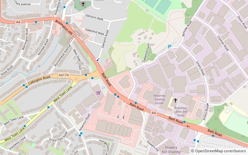
Brislington
Brislington is an area in the south east of the city of Bristol, England. It is on the edge of Bristol and 10 miles from Bath. Brislington Brook runs through the area in the woodlands of Nightingale Valley and the pretentious of West Brislington.
Cumberland Basin
The Cumberland Basin is the main entrance to the docks of the city of Bristol, England. It separates the areas of Hotwells from the tip of Spike Island.
Clifton
Clifton is both a suburb of Bristol, England, and the name of one of the city's thirty-five council wards. The Clifton ward also includes the areas of Cliftonwood and Hotwells. The eastern part of the suburb lies within the ward of Clifton Down.
St Werburghs
St. Werburgh's is an area in north-east central Bristol, England. It is surrounded by the M32 motorway, railway embankments and allotment slopes.
Henbury
Henbury is a suburb of Bristol, England, approximately 5 miles north west of the city centre. It was formerly a village in Gloucestershire and is now bordered by Westbury-on-Trym to the south; Brentry to the east and the Blaise Castle Estate, Blaise Hamlet and Lawrence Weston to the west.
Hotwells
Hotwells is a district of the English port city of Bristol. It is located to the south of and below the high ground of Clifton, and directly to the north of the Floating Harbour.
St Pauls
St Pauls is an inner suburb of Bristol, England, situated just northeast of the city centre and west of the M32. It is bounded by the A38, the B4051, the A4032 and the A4044, although the River Frome was traditionally the eastern boundary before the M32 was constructed.
Redland
Redland is an affluent suburb in Bristol, England. The suburb is situated between Clifton, Cotham, Bishopston and Westbury Park.
Southville
Southville is an inner city ward of Bristol, England, situated on the south bank of the River Avon and northwest of Bedminster.
Brislington West
Brislington West is a council ward of the city of Bristol, England. It covers the western part of Brislington, together with Arnos Vale and Kensington Park.
Stapleton
Stapleton is an area in the northeastern suburbs of the city of Bristol, England. The name is colloquially used today to describe the ribbon village along Bell Hill and Park Road in the Frome Valley.
Windmill Hill
Windmill Hill is situated in the south of the city of Bristol and is often referred to as being part of Bedminster. It is a predominantly residential location, and became popular in the 1990s and 2000s with students, artists and environmentalists, often sharing rented accommodation.
Westbury-on-Trym
Westbury on Trym is a suburb and council ward in the north of the City of Bristol, near the suburbs of Stoke Bishop, Westbury Park, Henleaze, Southmead and Henbury, in the southwest of England.
Cotham
Cotham is an area of Bristol, England, about 1 mile north of the city centre. It is an affluent, leafy, inner city suburb situated north of the neighbourhoods of Kingsdown and St Paul’s and sandwiched between Gloucester Road to the east, and Hampton Road to the west.
Knowle West
Knowle West is a neighbourhood situated on a low plateau in the south of Bristol, England, about 2 miles from the centre of the city.
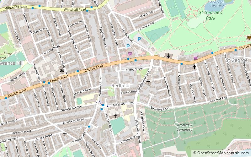
Redfield
Redfield is an area situated in East Bristol though it is represented in Westminster as part of the Bristol West constituency. It includes the stretch of Church Road from Verrier Road to the western boundary of St George's Green, Victorian-era landscaped parkland.
Bower Ashton
Bower Ashton is a small district in south west Bristol on the western boundary with North Somerset, lying within the Southville ward, approximately two miles from the city centre.
Bristol Temple Quarter Enterprise Zone
Bristol Temple Quarter Enterprise Zone is an enterprise zone in Bristol, England, focused on creative, high-tech and low-carbon industries.
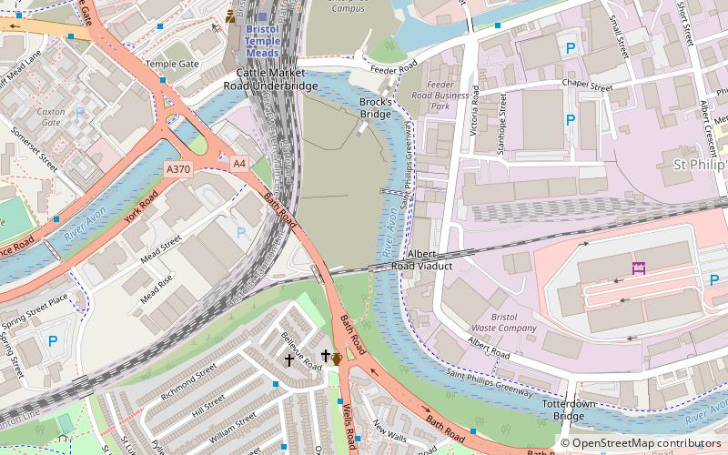
St Philip's Marsh
St Philip's Marsh is an industrial inner suburb of Bristol, England. It is bounded by River Avon and Harbour feeder canal making it an almost island area, unlike the other two areas surrounded by water, it was historically part of Gloucestershire and is part of North Bristol.
Tyndalls Park
Tyndall's Park is an area of central Bristol, England. It lies north of Park Row and Queen's Road, east of Whiteladies Road and west of St Michael's Hill, between the districts of Clifton, Cotham and Kingsdown.
Totterdown
Totterdown is an inner-suburb of Bristol, England, situated just south of the River Avon and to the south-east of Temple Meads railway station and the city centre.
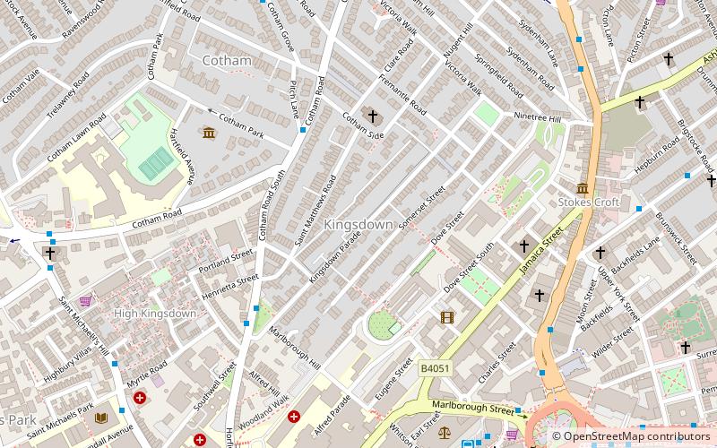
Kingsdown
Kingsdown is an area of Bristol, located on high ground immediately north of the city centre and south of Cotham. It lies within the Cotham council ward. Kingsdown remained rural until the 18th century, but around 1737 land on the southern slope was laid out to become Bristol's first planned suburb.
Baptist Mills
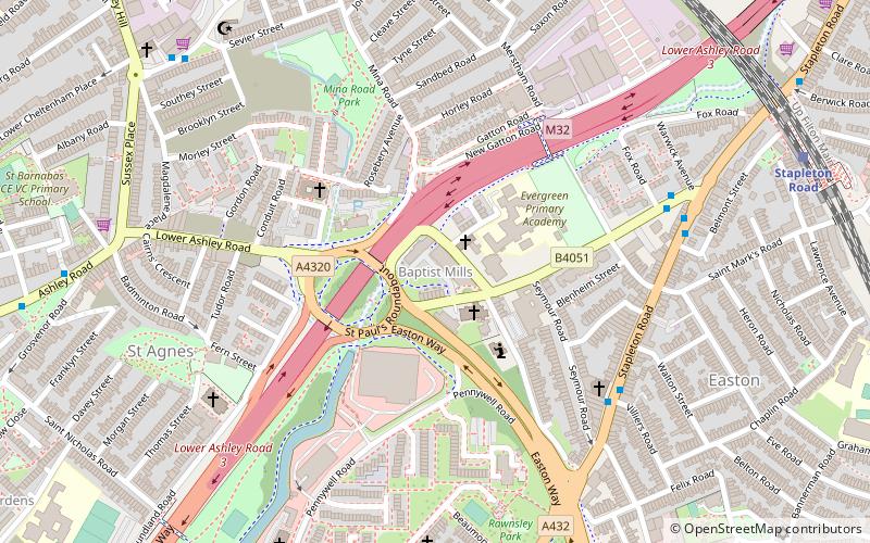
Baptist Mills an area of the city of Bristol, England. The name derives from the former mills which stood in that area.
Barrs Court
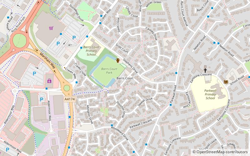
Barrs Court is an urban residential area in the unitary authority of South Gloucestershire to the East of the City & County of Bristol...
South Bristol
South Bristol is the part of Bristol, England south of the Bristol Avon. It is almost entirely made up of the areas of the city historically in Somerset, and since the abolition of the county Avon, consists of the southern suburbs in the county of Bristol.
Bedminster
Bedminster is a district of Bristol, England, on the south side of the city. It is also the name of a council ward, which includes the central part of the district and some other areas. The eastern part of Bedminster is known as Windmill Hill.
Map


