Sydney: Street
Places and attractions in the Street category
Categories
- Park
- Museum
- Shopping
- Shopping centre
- Church
- Bridge
- Victorian architecture
- Nightlife
- Area
- History museum
- Gothic Revival architecture
- Theater
- Sport
- Sport venue
- Art museum
- Street
- Historical place
- Concerts and shows
- Skyscraper
- Natural attraction
- Memorial
- Art gallery
- Specialty museum
- Canal
- Beach
- Lighthouse
- Nature
- Cemetery
- Vernacular architecture
- Outdoor activities
- City
- Architecture
- Forest
- Forts and castles
- Golf
- Playground
- Library
- Italianate architecture
- Colonial architecture
- Arenas and stadiums
- Concert hall
- Amusement park
- Sacred and religious sites
- Neighbourhood
- Garden
- Zoo
- Football
- View point
- Island
- Georgian architecture
- Music venue
- Monuments and statues
- City hall
- Lake
- Performing arts
- Sport complex
- Modern art museum
- Mosque
- Universities and schools
- Synagogue
- Marina
- Sailing
- Market
- Game and entertainment center
- Military museum
- Tower
- Nature and wildlife
- Department store
- Event space
- Classes and workshops
- Botanical garden
- Harbor
- Dam
- Music and shows
- Fountain
- Amusement
- National park
- Art Deco architecture
- Field
- Unesco
- Swimming pool
- Temple
- Restaurant
- Edwardian architecture
- Town
- Locality
- Cricket
Castlereagh Street
Nestled amidst the bustling heart of Sydney, Australia, Castlereagh Street is a vibrant shopping district that beckons to both high-end fashion aficionados and casual shoppers alike. This iconic thoroughfare is synonymous with luxury, hosting a plethora of prestigious...
Pitt Street Mall
Pitt Street is a major street in the Sydney central business district in New South Wales, Australia.
Cumberland Place and Steps
The Cumberland Place and Steps are heritage-listed steps and a laneway located at Cumberland Place, in the inner city Sydney suburb of The Rocks in the City of Sydney local government area of New South Wales, Australia. It was built from 1807.
Martin Place
Martin Place is a pedestrian mall in the Sydney central business district, New South Wales, Australia. Martin Place has been described as the "civic heart" of Sydney.
Macquarie Street
Macquarie Street is a street in the central business district of Sydney in New South Wales, Australia. Macquarie Street extends from Hyde Park at its southern end to the Sydney Opera House at its northern end.
Jeffrey Street
Jeffrey Street or Jeffreys Street is a street located in Kirribilli, famous for being one of the most popular vantage points for views of the city skyline of Sydney, the Sydney Harbour Bridge and the Sydney Opera House.
Broadway
Broadway is a 700-metre road in inner city Sydney, New South Wales, Australia. The road constitutes the border between the suburbs of Ultimo and Chippendale. Broadway is also an urban locality.
Glebe Point Road
Glebe Point Road is the main road of the inner city suburb of Glebe in Sydney, New South Wales, Australia. It is a boutique shopping strip with numerous restaurants and cafés.
Wolseley Road
Wolseley Road is a road in the Sydney suburb of Point Piper. It is one kilometre long. It starts at New South Head Road and curves around the west side of Point Piper, terminating in a dead end above Lady Martins Beach.
Liverpool Street
Liverpool Street is a street in the central business district of Sydney in New South Wales, Australia. Liverpool Street runs east-west in the southern portion of the central business district and forms the southern boundary of Hyde Park.
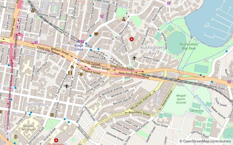
William Street
William Street is a 1.4-kilometre-long major thoroughfare in Sydney, New South Wales, Australia. The street was named in honour of King William IV and was gazetted in 1834.
The Corso
The Corso is one of the main streets and a pedestrian mall in Manly. It connects the Manly ferry wharf to Manly Beach on the Pacific Ocean side of the Manly peninsula.
Bathurst Street
Bathurst Street is a street in the Sydney central business district in New South Wales, Australia. Bathurst Street runs for 650 metres in a west–east direction with traffic flowing in this direction only.
George Street
George Street is a street in the central business district of Sydney. It was Sydney's original high street, and remains one of the busiest streets in the city centre. It connects a number of the city's most important buildings and precincts. There are more high rise buildings here than on any other street in Australia.
Parramatta Road
Parramatta Road is the major historical east-west artery of metropolitan Sydney, New South Wales, Australia, connecting the Sydney CBD with Parramatta. It is the easternmost part of the Great Western Highway. Since the 1980s its role has been augmented by the City West Link Road and M4 Motorway.
General Holmes Drive
General Holmes Drive is a 5-kilometre major divided road located in Sydney, New South Wales, Australia. The road forms part of the M1, the A1, the Sydney Orbital Network, and the Australian Highway 1 network.
York Street
York Street is a street in the Sydney central business district in New South Wales, Australia. York Street runs 1.050 kilometres in a north to south direction only and is used predominantly by buses from the northern districts of Sydney.
Whitlam Square
Whitlam Square, a road junction located in Sydney, New South Wales, Australia, constitutes an important intersection of major streets in the south-eastern portion of the city's central business district.
Phillip Street
Phillip Street is a street in the central business district of Sydney in New South Wales, Australia. While the street runs from King Street in the south to Circular Quay in the north, the present street is effectively in two sections, separated by Chifley Square.
City Road
City Road is a busy 1-kilometre thoroughfare located in Sydney, New South Wales, Australia. City Road runs south from a junction with Broadway and Parramatta Road, through the University of Sydney and becomes King Street as it enters the suburb of Newtown.
Southern Cross Drive
The Southern Cross Drive is a 4.8 km dual carriage untolled motorway in Sydney, New South Wales, Australia. Part of the M1 and Sydney Orbital Network, the road, a freeway that opened in 1969, links the Eastern Distributor and South Dowling Street at Kensington in the north to General Holmes Drive at Sydney Airport in the south.
Rowe Street
Rowe Street is a narrow laneway in the central business district of Sydney in New South Wales, Australia. Originally, Rowe Street ran between Castlereagh Street and Pitt Street, parallel to Martin Place. However, it now runs east–west off Pitt Street.
Syd Einfeld Drive
Syd Einfeld Drive is a six lane, partially elevated, 80 km/h dual carriageway in Sydney, Australia. It was built as the Bondi Junction Bypass to bypass a section of Oxford Street through Bondi Junction from Woollahra to Old South Head Road.
Goulburn Street
Goulburn Street is a street in the central business district of Sydney in New South Wales, Australia. Goulburn Street is in the southern portion of the Sydney central business district and runs from Darling Harbour and Chinatown in the west, to Crown Street in the east at Darlinghurst and Surry Hills.
Richmond Road
Richmond Road is an arterial road in Sydney, Australia. It leads from Blacktown towards Richmond, passing through the suburbs of Woodcroft, Marayong, Doonside, Quakers Hill, Dean Park, Glendenning, Hassall Grove, Colebee, Marsden Park, Windsor Downs and Berkshire Park, until at...
Gore Hill Freeway
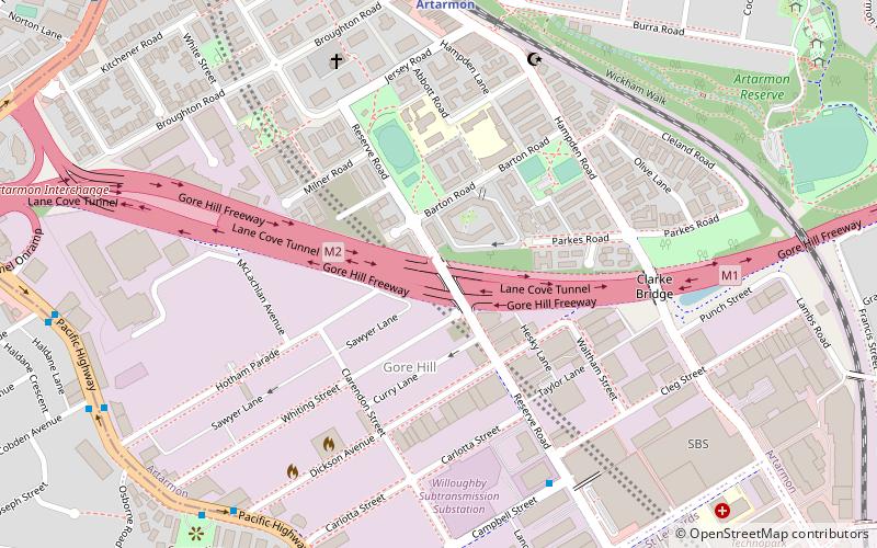
The Gore Hill Freeway is a 4-kilometre divided freeway located in Sydney, New South Wales, Australia. The freeway forms part of the M1, the Sydney Orbital Network, and the Highway 1 network.
Bayswater Road
The Bayswater Road is a 600-metre-long minor street in the Kings Cross district of Sydney, New South Wales, Australia.
Map

