Edmonton: Neighbourhood
Places and attractions in the Neighbourhood category
Categories
- Shopping
- Shopping centre
- Park
- Museum
- Bridge
- Church
- Neighbourhood
- Concerts and shows
- Nightlife
- Theater
- Sport
- Sport venue
- Music venue
- Tower
- Library
- Amusement park
- Arenas and stadiums
- Music and shows
- History museum
Downtown Edmonton
Downtown Edmonton is the central business district of Edmonton, Alberta. Located at the geographical centre of the city, the downtown area is bounded by 109 Street to the west, 105 Avenue to the north, 97 Street to the east, 97 Avenue and Rossdale Road to the south, and the North Saskatchewan River to the southeast.
Cloverdale
Cloverdale is a river valley neighbourhood in Edmonton, Alberta, Canada located on the south side of the North Saskatchewan River. It is located immediately across the river from the downtown core and the river valley neighbourhood of Riverdale.
Forest Heights
Forest Heights is a residential neighbourhood in east central Edmonton, Alberta, Canada that overlooks the North Saskatchewan River valley to the north and west. Four bridges provide access to destinations on the north side of the river.
Oleskiw
Oleskiw is a residential neighbourhood in west Edmonton, Alberta, Canada that overlooks the North Saskatchewan River valley to the east and south. The Edmonton Golf and Country Club is a feature of the neighbourhood.
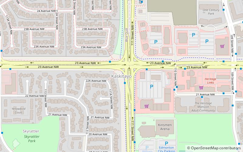
Kaskitayo
Kaskitayo is a residential area in the southwest portion of the City of Edmonton in Alberta, Canada. It was established in 1973 through Edmonton City Council's adoption of the Kaskitayo Outline Plan, which guides the overall development of the area.
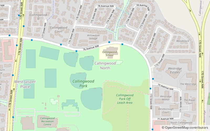
Callingwood North
Callingwood North, originally known as Callingwood Campus, is a neighbourhood in west Edmonton, Alberta, Canada.
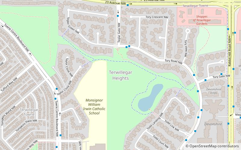
Terwillegar Heights
Terwillegar Heights is a residential area in the southwest portion of the City of Edmonton in Alberta, Canada. It was established in 1992 through Edmonton City Council's adoption of the Terwillegar Heights Servicing Concept Design Brief, which guides the overall development of the area.
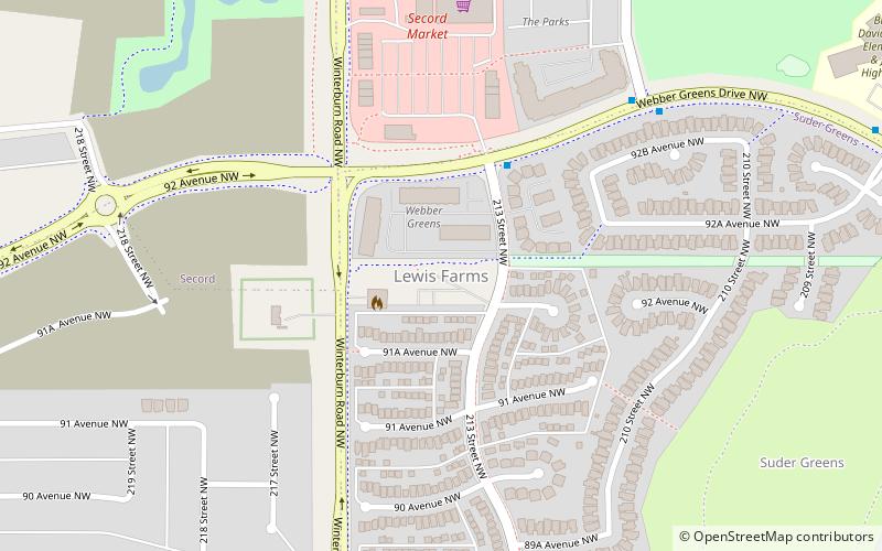
Lewis Farms
Lewis Farms or Lewis Estates is a residential area in the west portion of the City of Edmonton in Alberta, Canada. It was established in 1988 through Edmonton City Council's adoption of the Lewis Farms Area Structure Plan, which guides the overall development of the area.
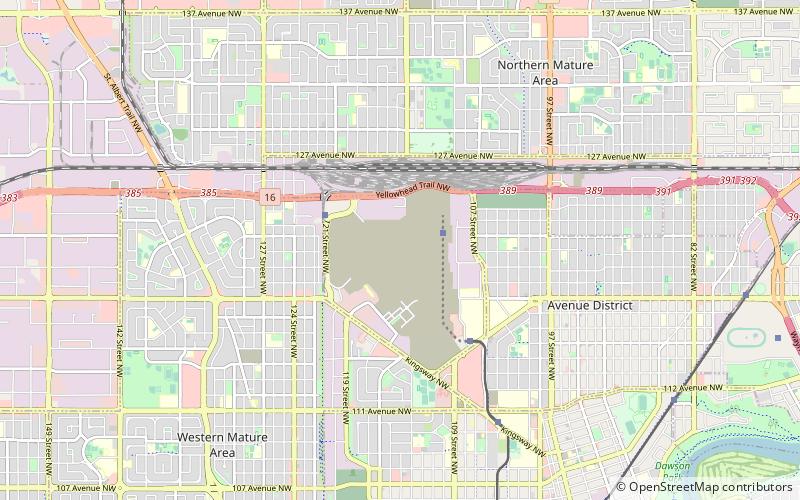
Blatchford
Blatchford is a carbon neutral community being developed on the site of the decommissioned City Centre Airport in Edmonton, Alberta. With an area of 2.17 km², Blatchford is approximately the size of Edmonton's downtown core.
Laurier Heights
Laurier Heights is a residential neighbourhood in west Edmonton, Alberta, Canada overlooking the North Saskatchewan River valley. A portion of the neighbourhood along Buena Vista Road is located in the river valley, and this portion is sometimes called Buena Vista.
Prince Charles
Prince Charles is a residential neighbourhood in north west Edmonton, Alberta. The area was named in honour of Charles, Prince of Wales. The neighbourhood is bounded on the north by the Yellowhead Trail, on the west by 127 Street, on the east by 121 Street, and on the south by 118 Avenue.
Alberta Avenue
Alberta Avenue is a pre–World War II neighbourhood in Edmonton, Alberta, Canada. Alberta Avenue is a mature, inner city neighbourhood in Edmonton, Alberta. Much of the area's development occurred during the First World War era and it was once home to the Great Western Garment Company and the Norwood Foundry.
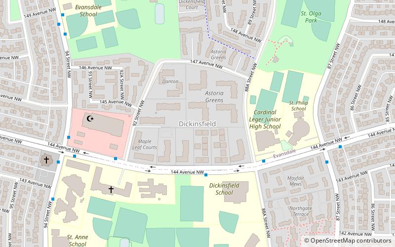
Dickinsfield
Dickinsfield is a residential area in northeast Edmonton, Alberta, Canada that consists of the neighbourhoods of Evansdale and Northmount. The area, the Dickinsfield Junior High School, and the Dickinsfield Extended Care Centre are all named after aviator Clennell Haggerston "Punch" Dickins.
Grovenor
Grovenor is a residential neighbourhood in west Edmonton, Alberta, Canada. It was originally called Westgrove and a professional building on 142 Street still uses that name. The neighbourhood is bounded on the east by 142 Street, on the west by 149 Street, on the north by 107 Avenue, and on the south by the MacKinnon Ravine.
Holyrood
Holyrood is a residential neighbourhood in the Bonnie Doon area of south east Edmonton, Alberta, Canada. The name, Holyrood, is an anglicisation of the Scots haly ruid. According to the 2001 federal census, almost three out of four houses in Holyrood were built between the end of World War II and 1960.
Jasper Park
Jasper Park is a neighbourhood in west Edmonton, Alberta, Canada that was once a part of the Town of Jasper Place. It became a part of Edmonton when Jasper Place amalgamated with Edmonton in 1964.
Ritchie
Ritchie is a residential neighbourhood in south east Edmonton, Alberta, Canada. It is named for Robert Ritchie, the original owner of the Ritchie Mill and former mayor of the City of Strathcona. The population of Ritchie enjoy good access to the nightlife of nearby Old Strathcona and the Mill Creek Ravine.
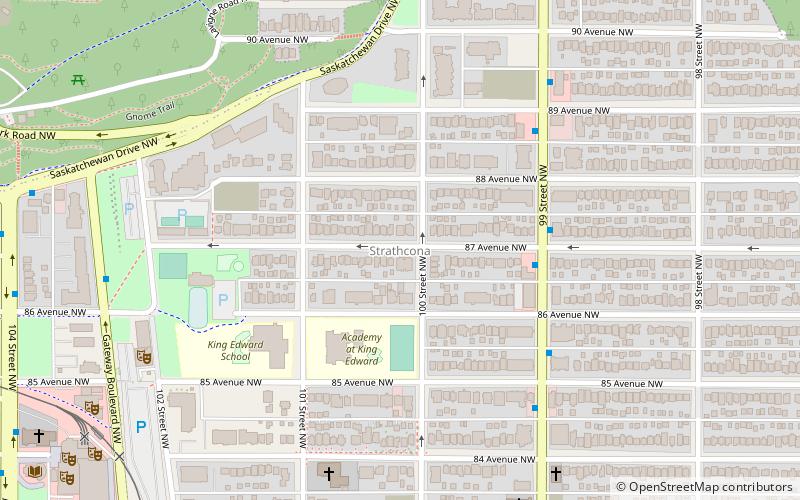
Strathcona
Strathcona is a residential neighbourhood in south central Edmonton, Alberta, Canada. It is a part of, and should not be confused with, Old Strathcona, although much of the Strathcona neighbourhood is in Old Strathcona. The neighbourhood overlooks both the North Saskatchewan River and the Mill Creek Ravine.
Queen Alexandra
Queen Alexandra is a mixed residential and commercial neighbourhood in south west Edmonton, Alberta, Canada. The neighbourhood, once part of the City of Strathcona, is named for Alexandra, the wife of King Edward VII of the United Kingdom.
West Jasper Place
West Jasper Place is a residential neighbourhood in west Edmonton, Alberta, Canada. Originally part of the Town of Jasper Place, West Jasper Place became a part of Edmonton when Edmonton and Jasper Place amalgamated on August 17, 1964.
Britannia Youngstown
Britannia Youngstown is a residential neighbourhood in west Edmonton, Alberta, Canada. Originally part of the Town of Jasper Place, it became part of Edmonton when Jasper Place amalgamated with Edmonton in 1964.
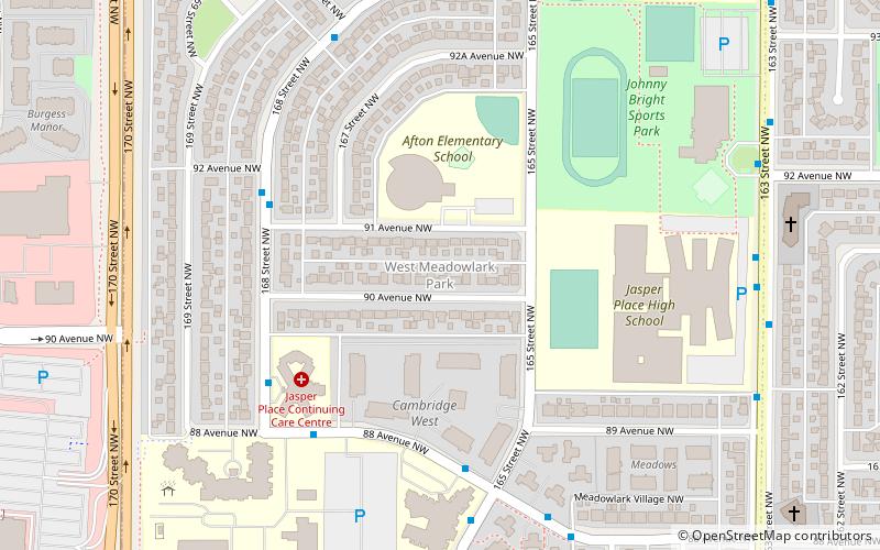
West Meadowlark Park
West Meadowlark Park is a residential neighbourhood in west Edmonton, Alberta, Canada located just east of West Edmonton Mall. The area was originally part of the Town of Jasper Place, and became a part of Edmonton when Jasper Place amalgamated with Edmonton in 1964.
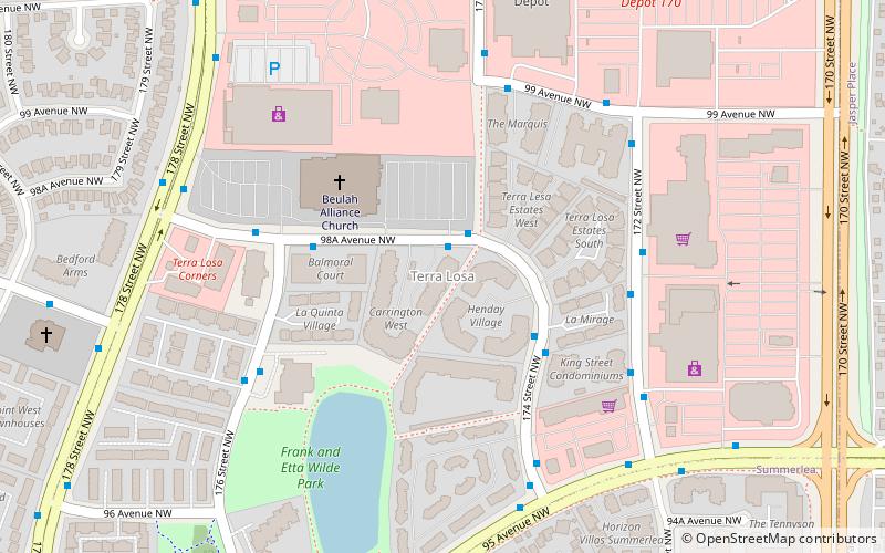
Terra Losa
Terra Losa is a mixed residential and commercial neighbourhood located in west Edmonton, Alberta, Canada. It is bounded on the east by 170 Street, on the south by 95 Avenue, on the west by 178 Street, and on the north by 100 Avenue and 99A Avenue.
Idylwylde
Idylwylde is a residential neighbourhood in south east Edmonton, Alberta, Canada. The neighbourhood is bounded on the south by Whyte Avenue, on the north by 90 Avenue, on the west by 83 Street and on the east by 75 Street.
Summerlea
Summerlea is a neighbourhood located in west Edmonton, Alberta, Canada. It is bounded by 170 Street to the east, 178 Street to the west, 95 Avenue to the north and 87 Avenue to the south. Summerlea is home to West Edmonton Mall, one of Edmonton's best-known tourist destinations.
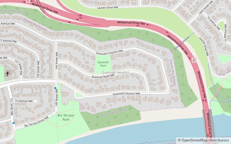
Quesnell Heights
Quesnell Heights is a neighbourhood in west Edmonton, Alberta, Canada. It is bounded by the Rio Terrace neighbourhood across 149 Street to the west, Whitemud Drive to the north and east, the North Saskatchewan River valley to the south, Quesnell Heights is also the smallest neighbourhood in Edmonton.
Garneau
Garneau is one of the oldest neighbourhoods in the city of Edmonton, Canada. Prior to 1912, it was part of the City of Strathcona. It is named after one of its first inhabitants, Laurent Garneau, a former Manitoba Métis rebel and Hudson's Bay Company employee who with his wife and family settled there around 1874.
Donsdale
Donsdale is a residential neighbourhood in west Edmonton, Alberta, Canada. Donsdale is a newer neighbourhood. According to the 2001 federal census, all residential construction in the neighbourhood occurred after 1995. According to the 2005 municipal census, all of the residences in the neighbourhood are single-family dwellings.
Westmount
Westmount is an established central-west residential neighbourhood in Edmonton, Alberta, Canada. It is geographically close to the downtown core. The neighbourhood is bounded by 111 Avenue to the north, Groat Road to the west, the Groat Ravine to the southwest, and the North Saskatchewan River valley to the south.
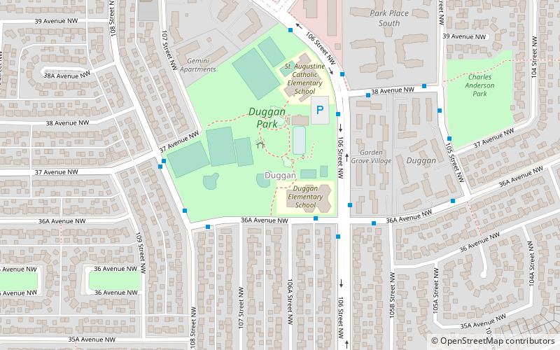
Duggan
Duggan is a residential neighbourhood in south Edmonton, Alberta, Canada. The neighbourhood is "named for J.J. Duggan ". The community is represented by the Duggan Community League, established in 1971, which maintains a community hall and outdoor rink located at 106 Street and 37 Avenue.
Brookside
Brookside is a residential neighbourhood in south west Edmonton, Alberta, Canada overlooking the North Saskatchewan River valley and Whitemud Creek ravine. It is bounded to the west and south by Whitemud Drive. The boundary on the north is the North Saskatchewan River valley, while the boundary on the east is Whitemud Creek.
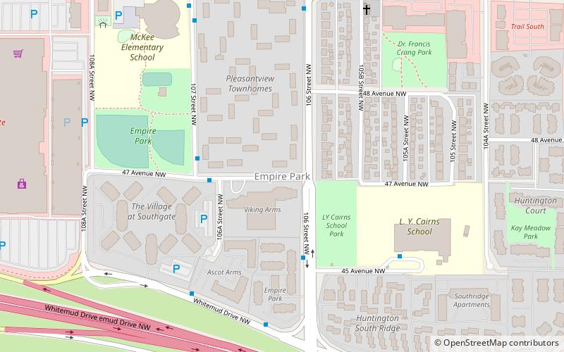
Empire Park
Empire Park is a residential neighbourhood in southwest Edmonton, Alberta, Canada. A major shopping centre, Southgate Centre, is located at the west end of the Neighbourhood. The neighbourhood is bounded on the south...
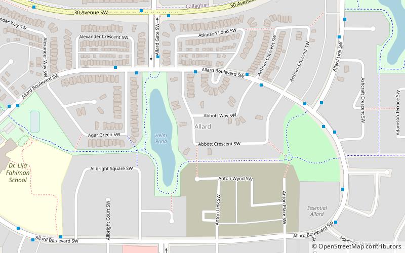
Allard
Allard is a neighbourhood in southwest Edmonton, Alberta, Canada that was established in 2007 through the adoption of the Allard Neighbourhood Area Structure Plan. It is located within Heritage Valley and was originally considered Neighbourhood 8 within the Heritage Valley Servicing Concept Design Brief.
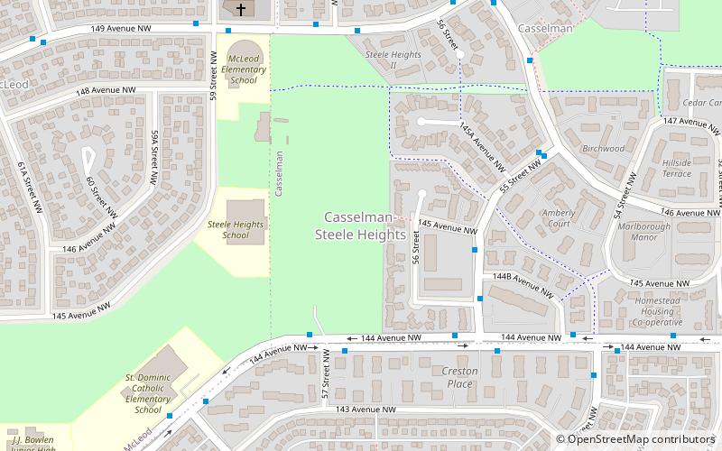
Casselman-Steele Heights
Casselman-Steele Heights is a residential area in the northeast portion of the City of Edmonton in Alberta, Canada.
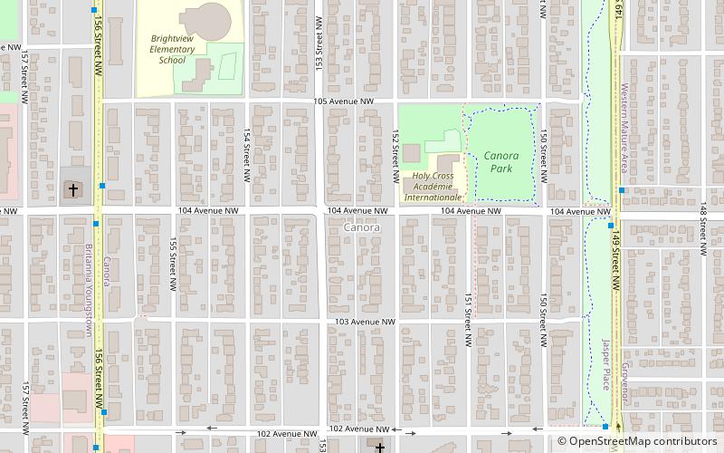
Canora
Canora is a residential neighbourhood in west Edmonton, Alberta, Canada. Canora's name comes from the first two letters of the words "Canadian Northern Railway", the winning entry in a 1948 contest to name a new school being built near an abandoned right of way of the former Canadian Northern Railway.
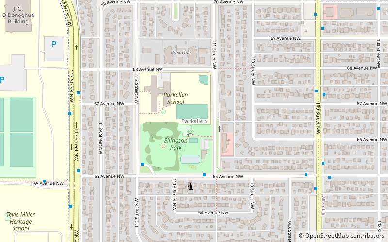
Parkallen
Parkallen is a residential neighbourhood in south Edmonton, Alberta, Canada located just to the east of the University of Alberta farm and the Neil Crawford Centre. Most of the neighbourhood development occurred after the end of World War II with eight out of ten residences constructed by 1960 according to the 2005 municipal census.
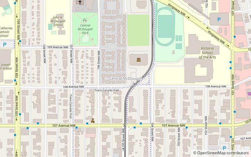
Central McDougall
Central McDougall is a largely residential neighbourhood in the City of Edmonton, Alberta, Canada located immediately north of the downtown core.
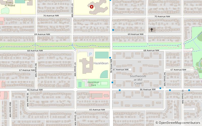
Hazeldean
Hazeldean is a residential neighbourhood in south east Edmonton, Alberta, Canada. The neighbourhood overlooks the Mill Creek Ravine. The neighbourhood is bounded on the west by 99 Street, on the south by 63 Avenue, on the east by the Mill Creek Ravine, and on the north by 72 Avenue.
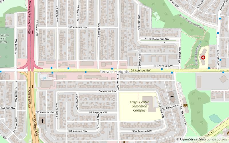
Terrace Heights
Terrace Heights is a roughly triangle-shaped residential neighbourhood in south east Edmonton, Alberta, Canada. According to the 2001 federal census, most of the development in the neighbourhood occurred in the first fifteen years after World War II.
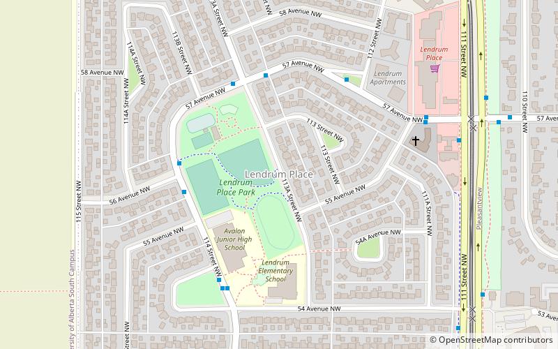
Lendrum Place
Lendrum Place is a residential neighbourhood located in south west Edmonton, Alberta, Canada. It is named for Robert Lendrum, an early land surveyor. According to the 2001 federal census, the majority of residential construction in Lendrum Place occurred during the 1960s.
Rideau Park
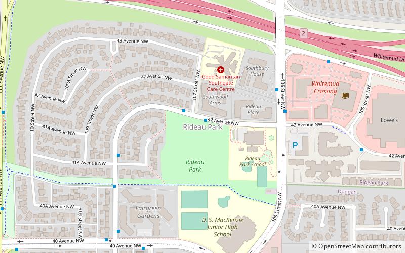
Rideau Park is a residential neighbourhood in southwest Edmonton, Alberta, Canada. The name Rideau means curtain in the French Language.
Graydon Hill
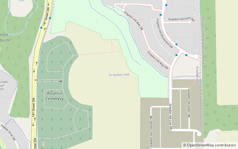
Graydon Hill is a future neighbourhood in southwest Edmonton, Alberta, Canada. The neighbourhood is named after Rosetta Graydon, founder of the Edmonton Humane Society, originally the Edmonton Society for the Prevention of Cruelty to Animals. She also played a role in the designation of Edmonton as Alberta's provincial capital.
Blackmud Creek
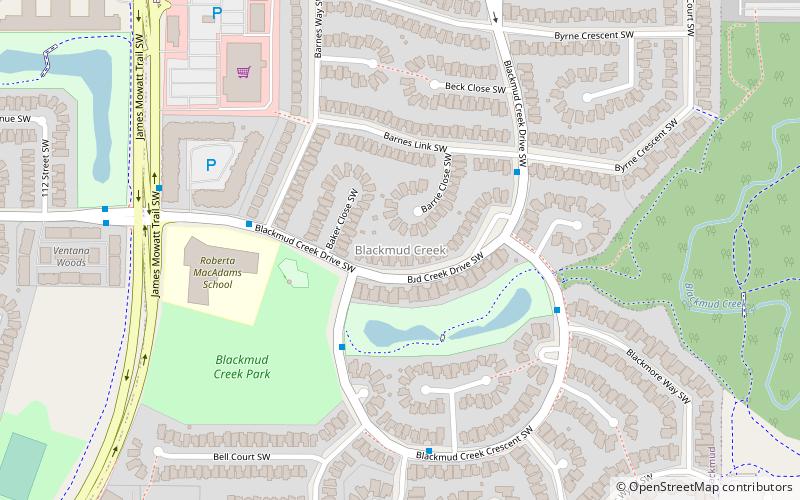
Blackmud Creek is a new residential neighbourhood in south west Edmonton, Alberta, Canada. The neighbourhood is bounded on the west by the James Mowat Trail, and on the north by Ellerslie Road. To the east and south, the neighbourhood overlooks the Blackmud Creek Ravine.
Baranow
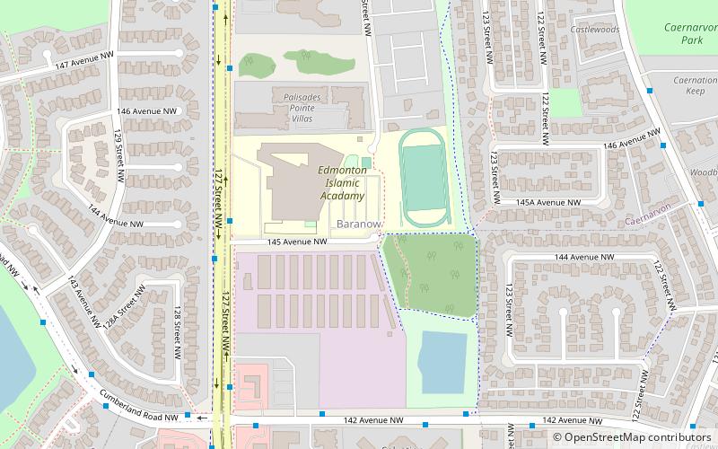
Baranow is a neighbourhood in the Castledowns area of north Edmonton, Alberta, Canada. There is some commercial development at the south end of the neighbourhood along 137 Avenue. Development of the neighbourhood occurred in two periods.
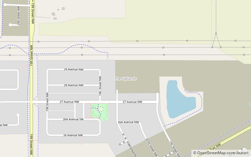
The Uplands
The Uplands, briefly known as Balsam Woods, is a future neighbourhood in west Edmonton, Alberta, Canada. Subdivision and development of the neighbourhood will be guided by the Riverview Neighbourhood 1 Neighbourhood Structure Plan, which was adopted by Edmonton City Council on September 22, 2015.
Map


