Vienna: Neighbourhood
Places and attractions in the Neighbourhood category
Categories
- Museum
- Church
- Baroque architecture
- Palace
- Art museum
- Historical place
- Specialty museum
- History museum
- Architecture
- Concerts and shows
- Park
- Neighbourhood
- Theater
- Art Nouveau architecture
- Shopping
- Square
- Art gallery
- Sacred and religious sites
- Neo-renaissance architecture
- Area
- Nightlife
- Cemetery
- Memorial
- Amusement park
- Gothic architecture
- Watersports
- Forts and castles
- Street
- Sport
- Sport venue
- Gothic Revival architecture
- Science museum
- Swimming
- Theophil Hansen
- Town
- Hill
- Natural attraction
- Shopping centre
- Opera
- Monuments and statues
- Concert hall
- Water park
- Universities and schools
- Romanesque architecture
- Nature
- Music venue
- Johann Bernhard Fischer von Erlach
- Bridge
- Garden
- Cafe
- Library
- Climbing
- Botanical garden
- Modern art museum
- Tower
- Sport complex
- Cinema
- Skyscraper
- View point
- Event space
- Otto Wagner
- Arenas and stadiums
Alsergrund
Alsergrund is the ninth district of Vienna, Austria. It is located just north of the first, central district, Innere Stadt. Alsergrund was incorporated in 1862, with seven suburbs. As a central district, the area is densely populated.
Leopoldstadt
Leopoldstadt is the 2nd municipal district of Vienna in Austria. There are 103,233 inhabitants over 19.27 km². It is situated in the heart of the city and, together with Brigittenau, forms a large island surrounded by the Danube Canal and, to the north, the Danube.
Innere Stadt
The Innere Stadt is the 1st municipal district of Vienna located in the center of the Austrian capital. The Innere Stadt is the old town of Vienna. Until the city boundaries were expanded in 1850, the Innere Stadt was congruent with the city of Vienna.
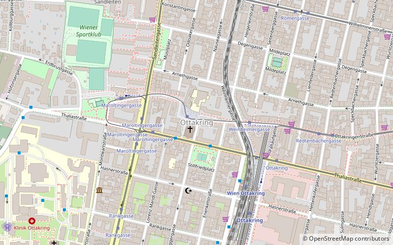
Ottakring
Ottakring is the 16th District in the city of Vienna, Austria. It is located west of the central districts, north of Penzing and south of Hernals. Ottakring has some heavily populated urban areas with many residential buildings. It was formed from the independent villages of Ottakring and Neulerchenfeld in 1892.
Hietzing
Hietzing is the 13th municipal District of Vienna. It is located west of the central districts, west of Meidling. Hietzing is a heavily populated urban area with many residential buildings, but also contains large areas of the Vienna Woods, along with Schönbrunn Palace.
Landstraße
Landstraße is the 3rd municipal district of Vienna, Austria. It is near the center of Vienna and was established in the 19th century. Landstraße is a heavily populated urban area with many workers and residential homes. It has 89,834 inhabitants in an area of 7.42 km². It has existed since approximately 1200 AD.
Hernals
Hernals is the 17th district of Vienna, Austria. Hernals is in northwest Vienna. It was annexed in 1892 out of the townships of Hernals, Dornbach, and Neuwaldegg.
Alservorstadt
Alservorstadt was an independent municipality until 1850 and is since then divided between Josefstadt and Alsergrund, the 8th and 9th districts of Vienna, respectively.
Simmering
Simmering is the 11th district of Vienna, Austria. It borders the Danube and was established as a district in 1892. Simmering has several churches, some museums, schools, old castles, and four cemeteries, one of them being the Wiener Zentralfriedhof, one of the largest cemeteries of Europe.
Mariahilf
Mariahilf is the 6th municipal district of Vienna, Austria. It is near the center of Vienna and was established as a district in 1850. Mariahilf is a heavily populated urban area with many residential buildings. It has a population of 31,621 within an area of 1.48 square kilometres.
Penzing
Penzing is the 14th borough of Vienna and consists of the localities of Penzing, Breitensee, Baumgarten, Hütteldorf and Hadersdorf-Weidlingau. In the west, it shares a border with Purkersdorf and Mauerbach.
Hütteldorf
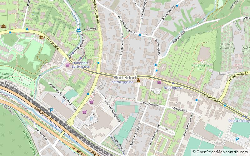
Hütteldorf is a part of Vienna's 14th district, Penzing. It is located in the west of Vienna, in the geographical center of the district, stretching roughly from Deutschordenstraße in the east to Wolf in der Au in the west, where Hütteldorf borders Hadersdorf-Weidlingau.
Josefstadt
Josefstadt is the eighth district of Vienna. It is near the center of Vienna and was established as a district in 1850, but borders changed later. Josefstadt is a heavily populated urban area with many workers and residential homes. It has a population of 24,279 people.
Liesing
Liesing is the 23rd district of Vienna. It is on the southwest edge of Vienna, Austria. It was formed after Austria's Anschluss with Germany, when Vienna expanded from 21 districts to 26.
Döbling
Döbling is the 19th District in the city of Vienna, Austria. It is located on the north end from the central districts, north of the districts Alsergrund and Währing.
Kahlenbergerdorf
Kahlenbergerdorf was an independent municipality until 1892 and is today a part of Döbling, the 19th district of Vienna. It is also one of the 89 Katastralgemeinden.
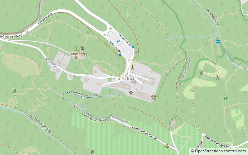
Josefsdorf
Josefsdorf was an independent municipality until 1892 and is today a part of Döbling, the 19th district of Vienna. It is also one of the 89 Katastralgemeinden.
Floridsdorf
Floridsdorf is the 21st district of Vienna, located in the northern part of the city and comprising seven formerly independent communities: Floridsdorf, Donaufeld, Greater Jedlersdorf, Jedlesee, Leopoldau, Stammersdorf, and Strebersdorf.
Währing
Währing is the 18th district of Vienna and lies in northwestern Vienna on the edge of the Vienna Woods. It was formed in 1892 from the unification of the older suburbs of Währing, Weinhaus, Gersthof, Pötzleinsdorf, Neustift am Walde and Salmannsdorf.
Favoriten
Favoriten, the 10th district of Vienna, Austria, is located south of the central districts. It is south of Innere Stadt, Wieden and Margareten.
Oberdöbling
Oberdöbling was an independent municipality until 1892 and is today a part of Döbling, the 19th district of Vienna. It is also one of the 89 Katastralgemeinden.
Meidling
Meidling is the 12th district of Vienna. It is located just southwest of the central districts, south of the Wienfluss, west of the Gürtel belt, and east and southeast of Schönbrunn palace.
Brigittenau
Brigittenau is the 20th district of Vienna. It is located north of the central districts, north of Leopoldstadt on the same island area between the Danube and the Danube Canal. Brigittenau is a heavily populated urban area with many residential buildings.
Unterdöbling
Unterdöbling was an independent municipality until 1892 and is today a part of Döbling, the 19th district of Vienna. It is also one of the 89 Katastralgemeinden.
Margareten
Margareten is the fifth district of Vienna. It is near the old town of Vienna and was established as a district in 1850, but borders changed later.
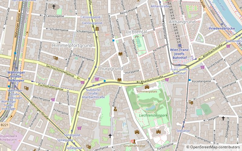
Lichtental
Lichtental is a part of the district of Alsergrund, Vienna. It was an independent municipality until 1850.
Rudolfsheim-Fünfhaus
Rudolfsheim-Fünfhaus is the 15th municipal District of Vienna, Austria. It is in central Vienna, west of Innere Stadt. It borders Neubau and Mariahilf in the east, Meidling and Hietzing in the south, Penzing in the west, and Ottakring in the north.
New Danube
The New Danube is a side channel built in 1972–88 on the eastern side of the Danube in Vienna, Austria. It was created to provide flood relief by containing excess water.
Donaustadt
Donaustadt is the 22nd district of Vienna, Austria. Donaustadt is the eastern district of Vienna.
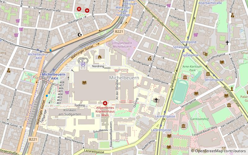
Michelbeuern
Michelbeuern is a neighbourhood of the Alsergrund, the 9th district of Vienna. Today, the major part of its area is dedicated to the Vienna General Hospital.
Baumgarten
Baumgarten is an area of Vienna's fourteenth district. Until 1891, it was a little village outside the city. Together with the villages Hütteldorf, Penzing, Breitensee and Hadersdorf-Weidlingau it became Vienna's 14th district.
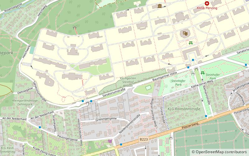
Steinhof
Steinhof in Vienna, Austria, is an old name for an area of Vienna that today contains the Otto-Wagner-Spital as well as its church Kirche am Steinhof and the surrounding parks of the Steinhofgründe, which were opened in 1907.
Kalksburg
Kalksburg is a former municipality in Lower Austria that is now a part of the 23rd Viennese district Liesing. Today, the cadastral commune Atzgersdorf has got an area of 375,7 hectare.
Salmannsdorf
Salmannsdorf is a part of Döbling, the 19th district of Vienna. Salmannsdorf was an independent municipality until 1892, when it was incorporated into the Währing district of the city of Vienna.
Neustift am Walde
Until 1892 Neustift am Walde was an independent municipality in the outskirts of Vienna, Austria and is today a part of Döbling, the 19th district of Vienna. It is also one of the 89 Katastralgemeinden.
Map

