Boston: Neighbourhood
Places and attractions in the Neighbourhood category
Categories
- Park
- Church
- Museum
- Historical place
- Square
- History museum
- Theater
- Monuments and statues
- Bridge
- Concerts and shows
- Library
- Nightlife
- Shopping
- Street
- Neighbourhood
- Specialty museum
- Cemetery
- Georgian architecture
- Universities and schools
- Memorial
- Gothic Revival architecture
- Music venue
- Art museum
- Sport
- Sport venue
- Shopping centre
- Sacred and religious sites
- Area
- Art gallery
- Greek Revival architecture
- Romanesque architecture
- Forts and castles
- Science museum
- Dancing
- Island
- Concert hall
- Lighthouse
- Tower
- Arenas and stadiums
- Romanesque revival architecture
- Music and shows
- Colonial revival architecture
- Architecture
- Skyscraper
- Playground
- Performing arts
- Synagogue
- Natural history museum
- Ship
- Vernacular architecture
- Asher Benjamin
- Lake
- Beach
- Hockey
- Outdoor activities
- Military museum
- Golf
- View point
- City hall
- Bars and clubs
- Nature
- Harbor
- Natural attraction
- Modernist architecture
- Waterfront
- City
- Marina
- Hiking trail
- Sailing
- Neoclassical architecture
- Football
- Italianate architecture
- Ice rink
- Ice skating
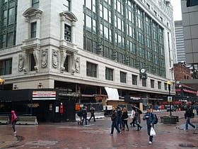
Downtown Crossing
Downtown Crossing is a bustling shopping district nestled in the heart of Boston, United States. Known for its vibrant pedestrian-only streets and a diverse array of retail options, this urban center attracts locals and tourists alike, eager to experience Boston's...
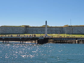
Fort Independence
Fort Independence is a granite bastion fort that provided harbor defenses for Boston, Massachusetts. Located on Castle Island, Fort Independence is one of the oldest continuously fortified sites of English origin in the United States.
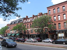
Brookline Village
Brookline Village is one of the major commercial and retail centers of the town of Brookline, Massachusetts. Located just north of Massachusetts Route 9 and west of the Muddy River, it is the historic center of the town and includes its major civic buildings, including town hall and the public library.
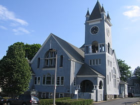
Roslindale
Roslindale is a primarily residential neighborhood of Boston, Massachusetts, bordered by Jamaica Plain, Hyde Park, West Roxbury and Mattapan.
Dudley Station Historic District
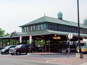
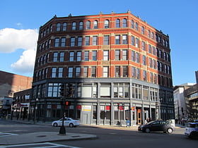
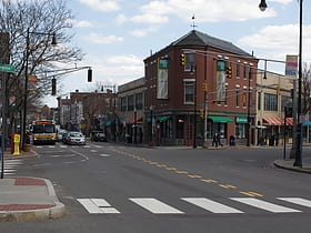
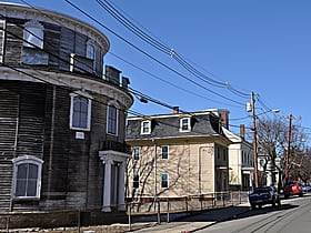
Dudley Station Historic District is a historic district on Washington, Warren, and Dudley Streets in the Roxbury neighborhood of Boston, Massachusetts, United States.
Kenmore Square
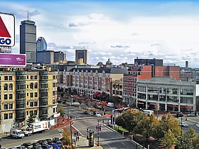
Kenmore Square is a square in Boston, Massachusetts, United States, consisting of the intersection of several main avenues as well as several other cross streets, and Kenmore station, an MBTA subway stop.
Charlestown
Charlestown is the oldest neighborhood in Boston, Massachusetts, in the United States. Originally called Mishawum by the Massachusett tribe, it is located on a peninsula north of the Charles River, across from downtown Boston, and also adjoins the Mystic River and Boston Harbor waterways.
SoWa
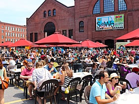
The SoWa Art & Design District in the South End of Boston, USA, is a community of artist studios, contemporary art galleries, boutiques, design showrooms and restaurants. Once an area of neglected warehouses, the SoWa Art & Design District has experienced a dramatic rebirth.
MIT Campus
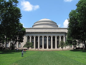
The area around the campus of the Massachusetts Institute of Technology, or MIT, makes up Area 2 of Cambridge, Massachusetts. Area 2 is bounded by Main Street and Broadway on the north, the railroad tracks on the west, and the Charles River on the south and east. Its population in 2005 was 5,486 residents living in 794 households.
The Port
The Port, formerly Area 4, is a neighborhood of Cambridge, Massachusetts, roughly between Central Square, Inman Square, and MIT. It is bounded on the south by Massachusetts Avenue, on the west by Prospect Street, on the north by Hampshire Street, and on the east by the Grand Junction Railroad tracks.
North End
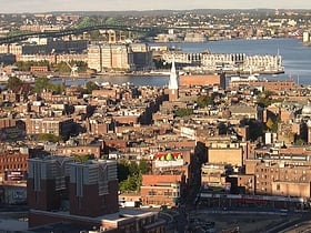
The North End is a neighborhood of Boston, Massachusetts, United States. It has the distinction of being the city's oldest residential community, where Europeans have continuously inhabited since it was colonized in the 1630s.
Downtown Boston
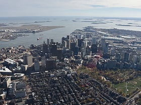
Downtown Boston is the central business district of Boston, Massachusetts, United States. The city of Boston was founded in 1630.
Harvard Square
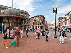
Harvard Square is a triangular plaza at the intersection of Massachusetts Avenue, Brattle Street, and John F. Kennedy Street, near the center of Cambridge, Massachusetts, United States.
Beacon Hill
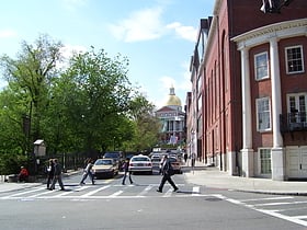
Beacon Hill is a historic neighborhood in Boston, Massachusetts, and the hill upon which the Massachusetts State House resides.
Back Bay
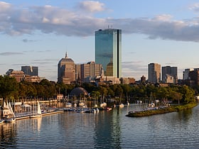
Back Bay is an officially recognized neighborhood of Boston, Massachusetts, built on reclaimed land in the Charles River basin.
Dorchester
Dorchester is a Boston neighborhood comprising more than 6 square miles in the City of Boston, Massachusetts, United States. Originally, Dorchester was a separate town, founded by Puritans who emigrated in 1630 from Dorchester, Dorset, England, to the Massachusetts Bay Colony.
South Boston
South Boston is a densely populated neighborhood of Boston, Massachusetts, located south and east of the Fort Point Channel and abutting Dorchester Bay.
Coolidge Corner
Coolidge Corner is a neighborhood of Brookline, Massachusetts, centered on the intersection of Beacon Street and Harvard Street.
Boston Theater District
The Boston Theater District is the center of Boston's theater scene. Many of its theaters are on Washington Street, Tremont Street, Boylston Street, and Huntington Avenue.
Boston Public Garden
Tranquil 19th-century urban park The Public Garden, also known as Boston Public Garden, is a large park in the heart of Boston, Massachusetts, adjacent to Boston Common.
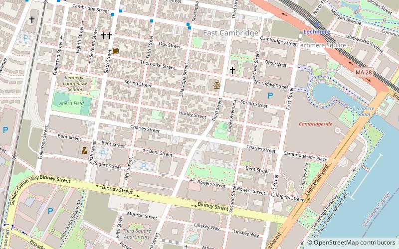
East Cambridge
East Cambridge is a neighborhood of Cambridge, Massachusetts. Referred to in modern times as Area 1, East Cambridge is bounded by the Charles River and the Charlestown neighborhood of Boston on the east, the Somerville border on the north, Broadway and Main Street on the south, and the railroad tracks on the west.
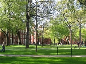
Harvard Yard
Harvard Yard, in Cambridge, Massachusetts, is the oldest part of the Harvard University campus, its historic center and modern crossroads.
Allston
Allston is an officially recognized neighborhood within the City of Boston, Massachusetts, United States. It was named after the American painter and poet Washington Allston. It comprises the land covered by the zip code 02134. For the most part, Allston is administered collectively with the adjacent neighborhood of Brighton.
Allston–Brighton
Allston–Brighton is a set of two interlocking neighborhoods, Allston and Brighton, both part of the city of Boston, Massachusetts.
Cambridgeport
Cambridgeport is one of the neighborhoods of Cambridge, Massachusetts. It is bounded by Massachusetts Avenue, the Charles River, the Grand Junction Railroad, and River Street.
West Roxbury
West Roxbury is a neighborhood in Boston, Massachusetts bordered by Roslindale to the northeast, the town of Brookline to the north, the city of Newton to the northwest and the town of Dedham to the southwest.
Mattapan
Mattapan is a neighborhood in Boston, Massachusetts. Historically a section of neighboring Dorchester, Mattapan became a part of Boston when Dorchester was annexed in 1870.
Roxbury
Roxbury is a neighborhood within the city of Boston, Massachusetts. Roxbury is a dissolved municipality and one of 23 official neighborhoods of Boston used by the city for neighborhood services coordination.
Bulfinch Triangle Historic District
The Bulfinch Triangle Historic District is a historic district roughly bounded by Canal, Market, Merrimac, and Causeway Streets in the West End of Boston, Massachusetts.
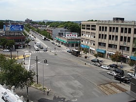
Inman Square
Inman Square is a neighborhood and historic district in Cambridge, Massachusetts. It lies north of Central Square, at the junction of Cambridge, Hampshire, and Inman Streets near the Cambridge–Somerville border.
Mid-Cambridge
Mid-Cambridge, also known as "Area 6", is a neighborhood of Cambridge, Massachusetts. It is bounded by Massachusetts Avenue on the south and west, Prospect Street on the east, and Hampshire Street, the Somerville border, Kirkland Street, Quincy Street, and Cambridge Street on the north.
East Boston
East Boston, nicknamed Eastie, is a neighborhood of Boston, Massachusetts with over 45,000 residents. Annexed by the city of Boston in 1836, it is bordered by the towns of Winthrop and Revere.
Ten Hills
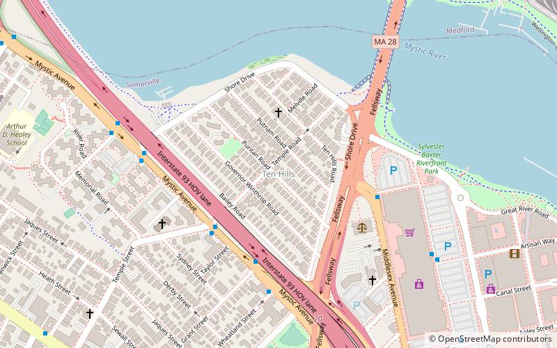
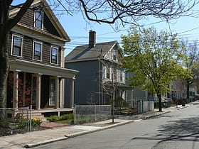
Ten Hills is a neighborhood in the northeastern part of the city of Somerville, Massachusetts. The area is roughly wedge-shaped, about 50 acres in size, and is bounded by the Mystic River to the north, McGrath Highway to the east, and is largely separated from the rest of Somerville by Interstate 93 to the southwest.
East Somerville
East Somerville is a neighborhood in the eastern part of the city of Somerville, Massachusetts. The community stretches east along Broadway from Massachusetts Route 28 to Sullivan Square and Interstate 93 on the city line with the Boston neighborhood of Charlestown.
Bellingham Square Historic District
Bellingham Square Historic District is a historic district encompassing the civic and commercial heart of Chelsea, Massachusetts.
Readville
Readville is part of the Hyde Park neighborhood of Boston. Readville's zip code is 02136. It was called Dedham Low Plains from 1655 until renaming in 1847 after mill owner James Read. It was part of Dedham until 1867. It is served by Readville station on the MBTA Commuter Rail.
Downtown Chelsea Residential Historic District
The Downtown Chelsea Residential Historic District is a historic district roughly bounded by Shurtleff, Marginal, and Division Streets and Bellingham Square in Chelsea, Massachusetts.
Hoosac Stores
The Hoosac Stores is a historic warehouse at 115 Constitution Road in Charlestown, Massachusetts. Originally designated Hoosac Stores 1 & 2, it is a six-story load-bearing brick warehouse, set just outside the gate of the Boston Navy Yard.
Old Cambridgeport Historic District
The Old Cambridgeport Historic District is a historic district along Cherry, Harvard and Washington Streets in Cambridge, Massachusetts.
Inner Belt District
The Inner Belt District is a 126-acre industrial district located in the southeastern portion of Somerville, Massachusetts.
Northeastern University School of Pharmacy
Northeastern University School of Pharmacy is the pharmacy school at Northeastern University in Boston, Massachusetts. It is one of four schools that comprise the Bouvé College of Health Sciences.
Mission Hill
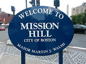
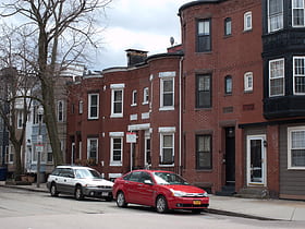
Mission Hill is a ¾ square mile, primarily residential neighborhood of Boston that borders Roxbury, Jamaica Plain, Brookline and Fenway-Kenmore.
Frederick Douglass Square Historic District
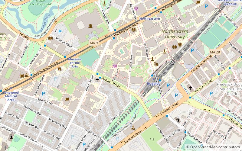
The Frederick Douglass Square Historic District is a historic district roughly bounded by Hammond Street, Cabot Street, Windsor Street, and Westminster Street, in the Lower Roxbury area of Boston, Massachusetts.
Lower Mills
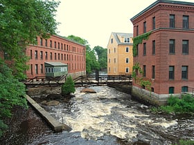
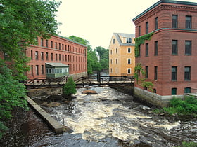
The Dorchester-Milton Lower Mills Industrial District is a historic district on both sides of the Neponset River in the Dorchester area of Boston and in the town of Milton, Massachusetts.
Spring Hill Historic District
The Spring Hill Historic District is a historic district roughly bounded by Summer, Central, Atherton, and Spring Streets in the Spring Hill area of Somerville, Massachusetts.
Map

