Boston: Street
Places and attractions in the Street category
Categories
- Park
- Church
- Museum
- Historical place
- Square
- History museum
- Theater
- Monuments and statues
- Bridge
- Concerts and shows
- Library
- Nightlife
- Shopping
- Street
- Neighbourhood
- Specialty museum
- Cemetery
- Georgian architecture
- Universities and schools
- Memorial
- Gothic Revival architecture
- Music venue
- Art museum
- Sport
- Sport venue
- Shopping centre
- Sacred and religious sites
- Area
- Art gallery
- Greek Revival architecture
- Romanesque architecture
- Forts and castles
- Science museum
- Dancing
- Island
- Concert hall
- Lighthouse
- Tower
- Arenas and stadiums
- Romanesque revival architecture
- Music and shows
- Colonial revival architecture
- Architecture
- Skyscraper
- Playground
- Performing arts
- Synagogue
- Natural history museum
- Ship
- Vernacular architecture
- Asher Benjamin
- Lake
- Beach
- Hockey
- Outdoor activities
- Military museum
- Golf
- View point
- City hall
- Bars and clubs
- Nature
- Harbor
- Natural attraction
- Modernist architecture
- Waterfront
- City
- Marina
- Hiking trail
- Sailing
- Neoclassical architecture
- Football
- Italianate architecture
- Ice rink
- Ice skating
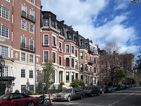
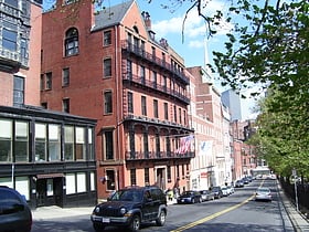
Commonwealth Avenue Mall
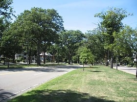
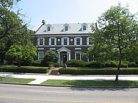
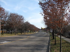
Commonwealth Avenue is a major street in the cities of Boston and Newton, Massachusetts. It begins at the western edge of the Boston Public Garden, and continues west through the neighborhoods of the Back Bay, Kenmore Square, Boston University, Allston, Brighton and Chestnut Hill.
Merchants Row
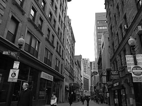
Merchants Row in Boston, Massachusetts is a short street extending from State Street to Faneuil Hall Square in the Financial District. Since the 17th century it has been a place of commercial activity. It sits close to Long Wharf and Dock Square, hubs of shipping and trade through the 19th century.
State Street
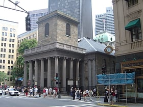
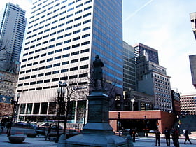
State Street in Boston, Massachusetts, is one of the oldest streets in the city. Located in the financial district, it is the site of some historic landmarks, such as Long Wharf, the Old State House and the Boston Custom House.
Federal Street
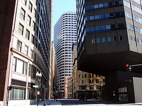
Federal Street is a street in the Financial District of Boston, Massachusetts. Prior to 1788, it was known as Long Lane. The street was renamed after state leaders met there in 1788 to determine Massachusetts' ratification of the United States Constitution.
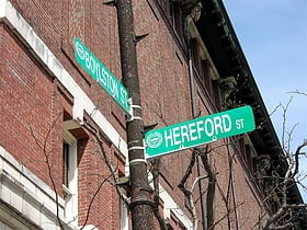
Boylston Street
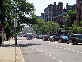
Boylston Street is a major east–west thoroughfare in the city of Boston, Massachusetts. The street begins in Boston's Chinatown neighborhood, forms the southern border of the Boston Public Garden and Boston Common, runs through Back Bay, and ends in Boston's Fenway neighborhood.
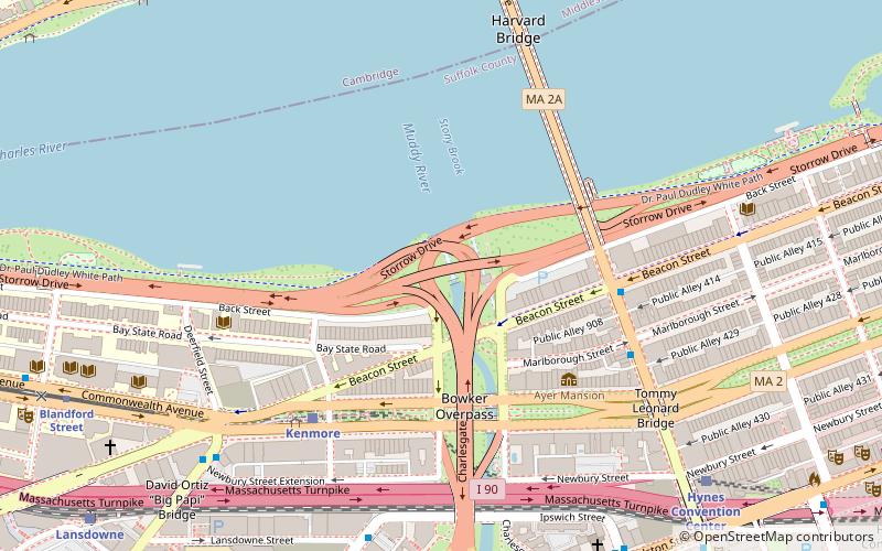
Storrow Drive
Storrow Drive, officially James Jackson Storrow Memorial Drive, is a major crosstown parkway in Boston, Massachusetts, running east–west along the southern bank of the Charles River.
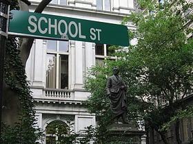
School Street
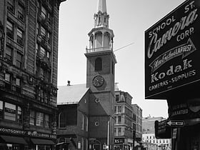
School Street is a short but significant street in the center of Boston, Massachusetts. It is so named for being the site of the first public school in the United States. The school operated at various addresses on the street from 1704 to 1844.
Park Street
Park Street is a small but historic road in the center of Boston, Massachusetts. It begins at the top of Beacon Hill, at the intersection of Beacon Street, where it is lined up with the front of the Massachusetts State House. It then spills down the hill toward Tremont Street, with Boston Common to its west.
Beacon Street
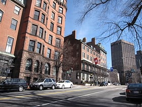
Beacon Street is a major thoroughfare in Boston, Massachusetts and its western suburbs Brookline and Newton. It passes through many of Boston's central and western neighborhoods, including Beacon Hill, Back Bay, Fenway–Kenmore, the Boston University campus, Brighton, and Chestnut Hill.
Arborway
Arborway consists of a four-lane, divided parkway and a two lane residential street in the Jamaica Plain neighborhood of Boston, Massachusetts.
Tremont Street
Tremont Street is a major thoroughfare in Boston, Massachusetts. Tremont Street begins at Government Center in Boston's city center as a continuation of Cambridge Street, and forms the eastern edge of Boston Common.
Massachusetts Avenue
Massachusetts Avenue is a major thoroughfare in Boston, Massachusetts, and several cities and towns northwest of Boston.
North Street
North Street in the North End of Boston, Massachusetts extends from Congress Street to Commercial Street. It runs past Dock Square, Faneuil Hall, Quincy Market, the Rose Kennedy Greenway, and North Square.
Summer Street
Summer Street in Boston, Massachusetts, extends from Downtown Crossing in the Financial District, over Fort Point Channel, and into the Seaport District to the southeast. In the mid-19th century it was also called Seven Star Lane.
Morrissey Boulevard
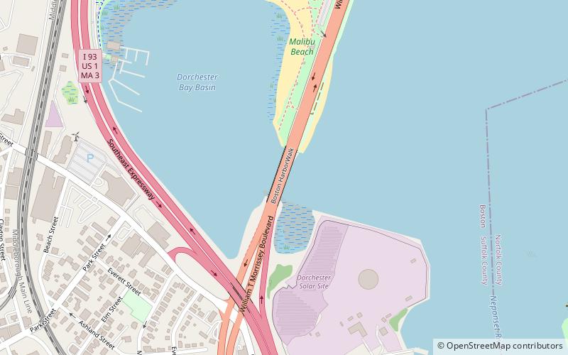
Morrissey Boulevard is a six-lane divided coastal road in the Dorchester neighborhood of Boston, Massachusetts. It is owned and maintained by the Massachusetts Department of Conservation and Recreation.
Yawkey Way
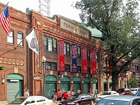
Yawkey Way is the former name of a short street located in the Fenway–Kenmore neighborhood of the American city of Boston, Massachusetts.
Fenway
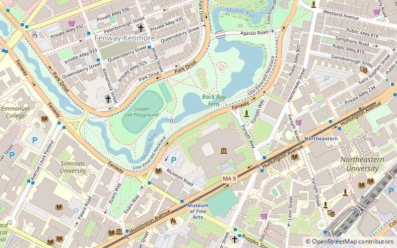
Fenway, commonly referred to as The Fenway, is a mostly one-way, one- to three-lane parkway that runs along the southern and eastern edges of the Back Bay Fens in the Fenway–Kenmore neighborhood of Boston, in the east-central part of the U.S. state of Massachusetts.
Winter Street
Winter Street in Boston, Massachusetts is located between Tremont Street and Washington Street, near the Common. It is currently a pedestrian zone. Prior to 1708, it was called Blott's Lane and then Bannister's Lane.
Huntington Avenue
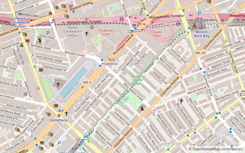
Huntington Avenue is a secondary thoroughfare in the city of Boston, Massachusetts, beginning at Copley Square, and continuing west through the Back Bay, Fenway, Longwood, and Mission Hill neighborhoods. Huntington Avenue is signed as Route 9.
Jamaicaway
Jamaicaway is a four-lane, undivided parkway in the Jamaica Plain neighborhood of Boston, Massachusetts near the border of Brookline.
Congress Street
Congress Street in Boston, Massachusetts, is located in the Financial District and South Boston. It was first named in 1800. It was extended in 1854 as far as Atlantic Avenue, and in 1874 across Fort Point Channel into South Boston.
Atlantic Avenue
Atlantic Avenue is a street in downtown Boston, Massachusetts, partly serving as a frontage road for the underground Central Artery and partly running along the Boston Harbor. It has a long history, with several relocations along the way.
New Chardon Street
New Chardon Street is a street in downtown Boston, Massachusetts, United States, north of Government Center. It begins at Cambridge Street at Bowdoin Square, across from Bowdoin Street.
Morton Street
Morton Street is a street in southern Boston, Massachusetts. It extends from the southeastern end of the Arborway in Jamaica Plain to Washington Street in the Lower Mills Village of Dorchester.
Day Boulevard
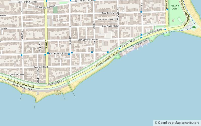
William J. Day Boulevard, or Day Boulevard, is a coastal parkway in Boston, Massachusetts. Beginning at Morrissey Boulevard and Kosciuszko Circle at the northern extent of the Dorchester section of the city, it travels in a gently curving northeasterly direction 2.6 miles...
Bennington Street
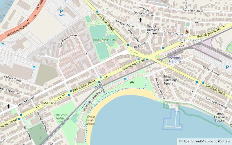
Bennington Street is one of the main thoroughfares in the neighborhood of East Boston in Boston, Massachusetts. The street runs almost the length of the residential section of the community, as distinguished from Logan International Airport, which makes up almost half of the community's landmass.
Neptune Road
Neptune Road is located in the East Boston neighborhood of Boston, Massachusetts. The road is fragmented, bisected by the Massachusetts Bay Transportation Authority's Blue Line which surfaces from the subway southwest of the road.
Bowdoin Street
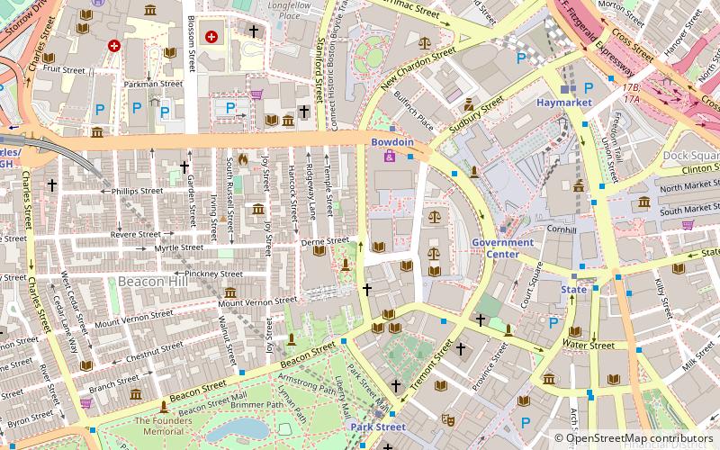
Bowdoin Street in Boston, Massachusetts extends from the top of Beacon Street, down Beacon Hill to Cambridge Street, near the West End. It was originally called "Middlecott Street" as early as the 1750s. In 1805 it was renamed after the Governor James Bowdoin.
Memorial Drive
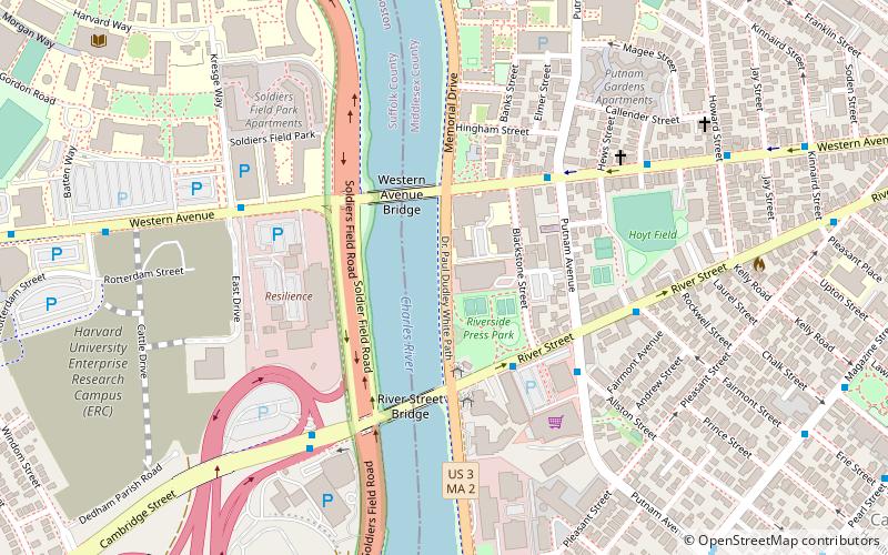
Memorial Drive is a 3.9-mile parkway along the north bank of the Charles River in Cambridge, Massachusetts, United States. It runs parallel to two major Boston parkways - Soldiers Field Road and Storrow Drive - which lie on the south bank of the river.
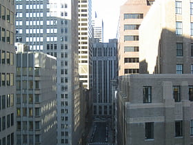
Hawley Street
Hawley Street of Boston, Massachusetts, is located in the Financial District between Milk and Summer Streets. Prior to 1799, it was called Bishop's Alley and briefly in the 1790s Board Alley.
Veterans of Foreign Wars Parkway
The Veterans of Foreign Wars Parkway is a historic parkway in Boston, Massachusetts. The southern terminus of the parkway is at Washington Street at the Dedham-West Roxbury border, from where it travels north and then east, ending at a junction with Centre Street, near the Arnold Arboretum.
West Roxbury Parkway
West Roxbury Parkway is a historic parkway running from Washington Street in Boston, Massachusetts, where the Enneking Parkway runs south, to Horace James Circle in Brookline, where it meets the Hammond Pond Parkway.
Melnea Cass Boulevard
Melnea Cass Boulevard is a street in Boston, Massachusetts, running perpendicular to the line between Dudley Square in Roxbury and the South End. It is named after local community and civil rights activist Melnea Cass. The road's right-of-way was originally planned to be part of Interstate 695, until its cancellation.
Washington Street
Washington Street is a street originating in downtown Boston, Massachusetts that extends southwestward to the Massachusetts–Rhode Island state line. The majority of it was built as the Norfolk and Bristol Turnpike in the early 19th century.
Pi Alley
Pi Alley in Boston, Massachusetts, is located off Washington Street, near the Old City Hall on School Street. The origin of the short street's name remains in question.
Milk Street
Milk Street is a street in the financial district of Boston, Massachusetts, which was one of Boston's earliest highways.
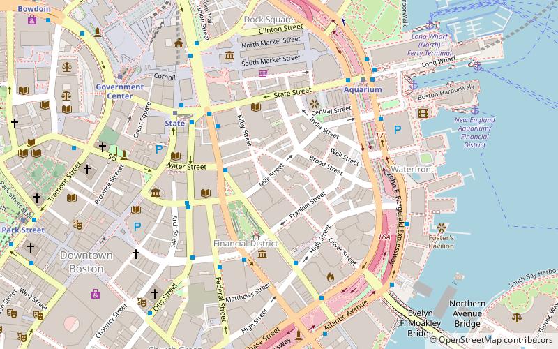
Map

