San Diego: Neighbourhood
Places and attractions in the Neighbourhood category
Categories
- Museum
- Park
- History museum
- Specialty museum
- Historical place
- Church
- Shopping
- Theater
- Art museum
- Concerts and shows
- Shopping centre
- Beach
- Neighbourhood
- Monuments and statues
- Music venue
- Outdoor activities
- Nightlife
- Spanish colonial revival architecture
- Library
- Skyscraper
- Military museum
- Zoo
- Memorial
- Amusement park
- Natural attraction
- Tours
- Sport
- Sport venue
- Architecture
- Theme park
- Amusement ride
- Nature
- Garden
- Vernacular architecture
- Harbor
- Universities and schools
- Arenas and stadiums
- Bridge
- Cemetery
- Ship
- Golf
- Art gallery
- Tower
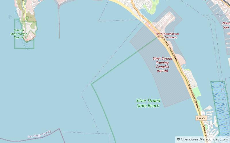
San Diego Bay
San Diego Bay is a natural harbor and deepwater port located in San Diego County, California near the U.S.–Mexico border. The bay, which is 12 miles long and 1 to 3 miles wide, is the third largest of the three large, protected natural bays on California's 840 miles of coastline, after San Francisco Bay and Humboldt Bay.
Point Loma
Point Loma is a seaside community within the city of San Diego, California. Geographically it is a hilly peninsula that is bordered on the west and south by the Pacific Ocean, the east by the San Diego Bay and Old Town, and the north by the San Diego River.
La Jolla
La Jolla is a hilly, seaside neighborhood within the city of San Diego, California, United States, occupying 7 miles of curving coastline along the Pacific Ocean. The population reported in the 2010 census was 46,781.
Barrio Logan
Barrio Logan is a neighborhood in south central San Diego, California. It is bordered by the neighborhoods of East Village and Logan Heights to the north, Shelltown and Southcrest to the east, San Diego Bay to the southwest, and National City to the southeast.
Old Town
Old Town is a neighborhood of San Diego, California. It contains 230 acres and is bounded by Interstate 8 on the north, Interstate 5 on the west, Mission Hills on the east and Bankers Hill on the south.
Miramar
Miramar is a neighborhood in the northern part of the city of San Diego, California, United States. It includes residential areas and commercial and light industrial districts. Most residents live on the Marine Corps Air Station Miramar.
Sherman Heights
Sherman Heights is an urban neighborhood in central San Diego bordered by Golden Hill to the north, Grant Hill to the east, East Village to the west, and Logan Heights to the south. It is part of the Southeastern Planning Area.
Downtown San Diego
Downtown San Diego is the city center of San Diego, California, the eighth largest city in the United States. In 2010, the Centre City area had a population of more than 28,000.
Mission Valley
Mission Valley is a wide river valley trending east–west in San Diego, California, United States, through which the San Diego River flows to the Pacific Ocean.
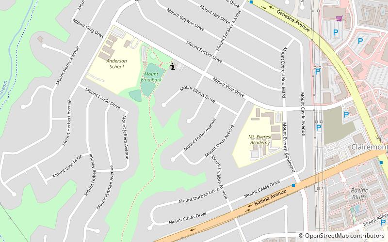
Clairemont
Clairemont is a community within the city of San Diego, California, United States. It has a population of about 81,600 residents and an area of roughly 13.3 square miles.
Mission Hills
Mission Hills is an upscale affluent neighborhood of San Diego, California, USA. It is located on hills just south of the San Diego River valley and north of downtown San Diego, overlooking Old Town, Downtown San Diego, and San Diego Bay.
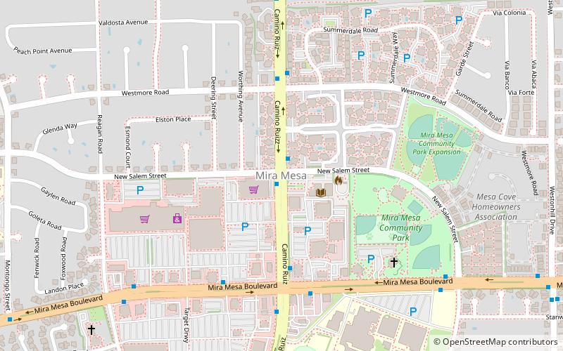
Mira Mesa
Mira Mesa is a community and neighborhood in the city of San Diego, California. The city-recognized Mira Mesa Community Plan Area is roughly bounded by Interstate 15 on the east, Interstate 805 on the west, the Los Peñasquitos Canyon on the north and Marine Corps Air Station Miramar on the south.
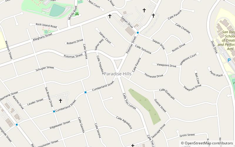
Paradise Hills
Paradise Hills is an urban neighborhood in the southeastern area of the city of San Diego, California. It is an outlying neighborhood adjacent to the independent city of National City and the unincorporated communities of Lincoln Acres and certain portions of Bonita.
Serra Mesa
Serra Mesa is a community in San Diego, California, roughly between Interstate 805 and Interstate 15, north of Friars Road and south of Aero Drive. It is named for Junípero Serra, a Majorcan Franciscan friar who founded the Mission San Diego de Alcalá.
Golden Hill
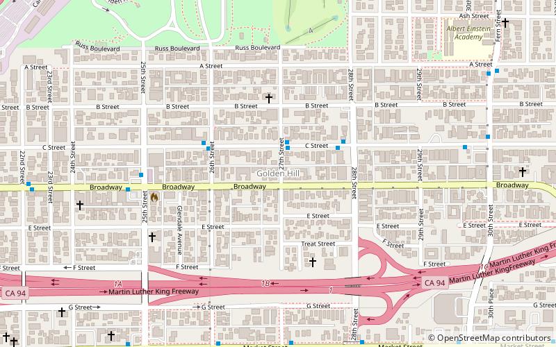
Golden Hill is a neighborhood of San Diego, California. It is located south of Balboa Park, north of Sherman Heights/Highway 94, and east of Downtown.
Sunset Cliffs
Sunset Cliffs is an affluent coastal community in the Point Loma community of San Diego, California. It is bordered by the Pacific Ocean on the west, Ocean Beach on the north, Catalina Blvd. and Santa Barbara St. on the east, and Sunset Cliffs Natural Park on the south.
Cortez Hill
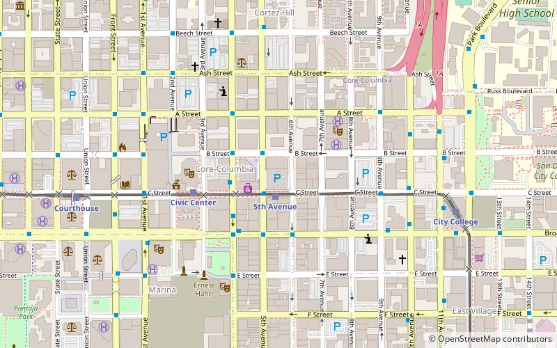
Cortez Hill is a neighborhood located in the northeast part of Downtown San Diego, California.
Shelltown
Shelltown is a neighborhood located within Southeast San Diego, approximately 5 minutes from downtown San Diego by car and 25 minutes by bicycle.
Core
The Core district is a neighborhood of Downtown San Diego, California. The Core district is the central business district in Downtown San Diego.
Chollas View
Chollas View is an urban community in the southeastern section of the city of San Diego. It is bordered by Webster and California State Route 94 on the north, Mount Hope and Interstate 805 on the west, Emerald Hills and Euclid Avenue on the east, and Lincoln Park and the San Diego Trolley on the south.
Grant Hill
Grant Hill is an urban neighborhood in central San Diego, California bordered by Golden Hill to the north, Stockton to the east, Sherman Heights to the west, and Logan Heights to the south. 30th Street connects Grant Hill to the neighborhood of Golden Hill.
Harborview
Harborview is a neighborhood in Downtown San Diego, California, United States. It is bordered by Midway to the north, Little Italy to the east, San Diego Bay to the west, and Columbia to the south.
Southeast San Diego
Southeast San Diego refers to the southeastern portion of the City of San Diego and the neighborhoods south of State Route 94 and east of Downtown San Diego.
Kearny Mesa
Kearny Mesa is a community in the central part of San Diego, California. It is bounded by State Route 52 to the north, Interstate 805 to the west, Aero Drive to the south, and Interstate 15 to the east.
Sorrento Valley
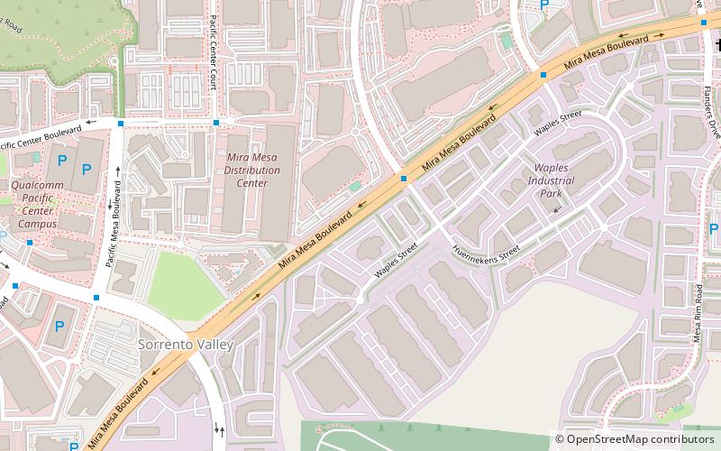
Sorrento Valley is a neighborhood of San Diego, California. It is located about 17 mi north of Downtown San Diego and its main airport, Lindbergh Field.
Normal Heights
Normal Heights is a neighborhood of the mid-city region of San Diego, California.
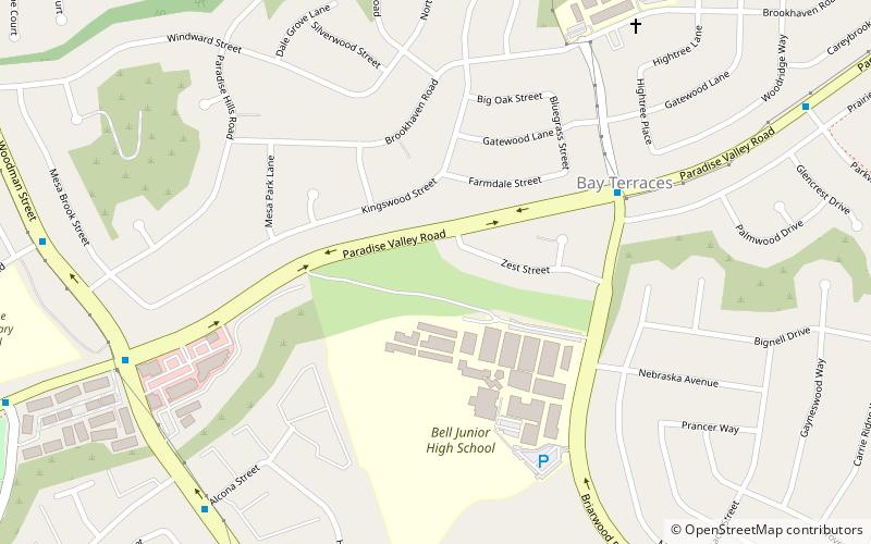
Bay Terraces
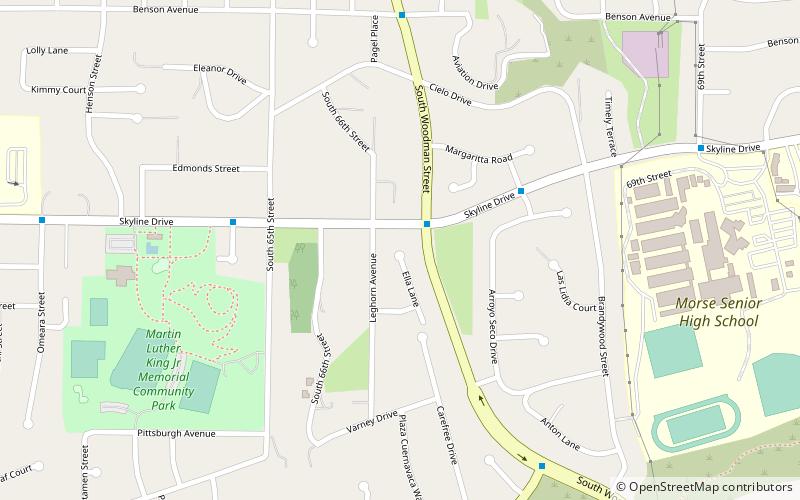
Bay Terraces is a hilly urban neighborhood in the southeastern part of San Diego, California, United States. A composite of North Bay Terrace and South Bay Terrace, it is bordered by Skyline to the north, Paradise Hills to the southwest, Alta Vista, South Encanto and National City to the west.
Tierrasanta
Tierrasanta, Spanish for "holy land," or "holy ground", is a community within the city of San Diego, California. The symbol of Tierrasanta is an encircled Conquistador cross, similar to one atop Montserrat near Barcelona, Spain, though it no longer holds any religious meaning.
College Area
The College Area is a residential community in the Mid-City region of San Diego, California, United States. The College Area is dominated by San Diego State University, after which the area is named.
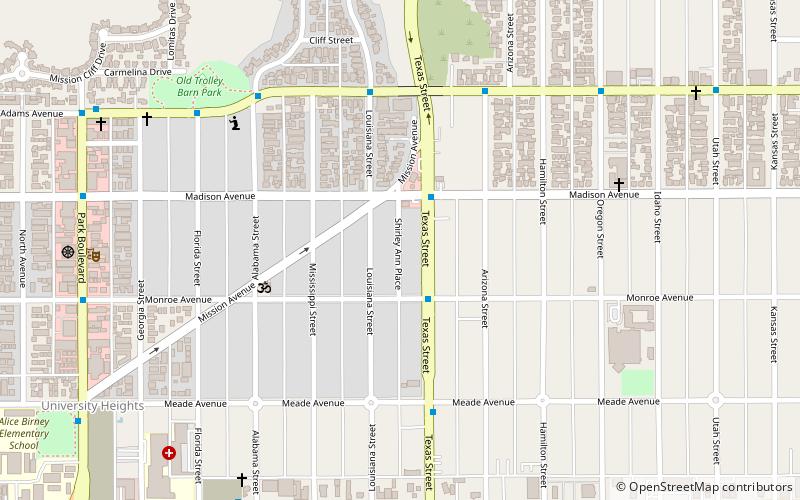
Shirley Ann Place
Shirley Ann Place is a one-block-long street in the University Heights neighborhood of San Diego, California. The block, between Madison Ave. and Monroe Ave. and west of Texas Street, was designated the Shirley Ann Place Historic District by the City of San Diego for its 1920s Spanish Colonial Revival bungalows.
Bankers Hill
Bankers Hill, also known as Park West and formerly known as Florence Heights, is a long-established uptown San Diego neighborhood near Balboa Park.
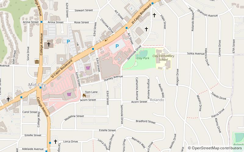
Rolando
Rolando is a neighborhood of the Mid-City region of San Diego, California. Rolando is mostly residential with the exception of El Cajon Boulevard, which features the Campus Plaza shopping center.
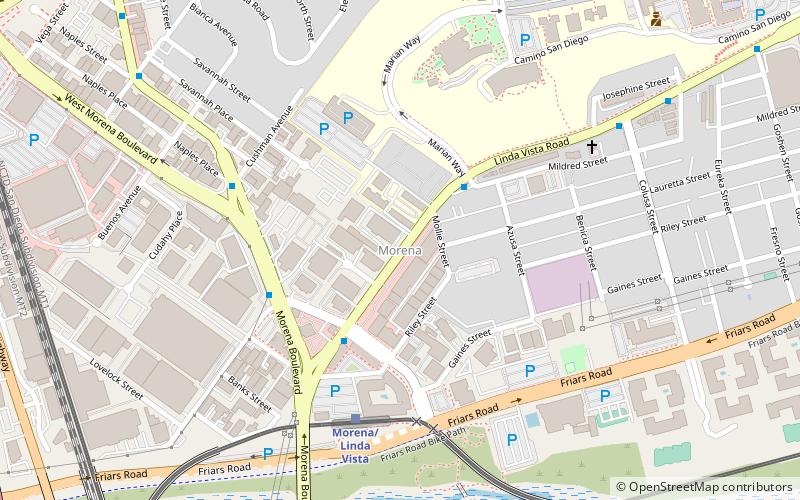
Morena
Morena is a neighborhood in San Diego, California bordered by Bay Park to the north, Linda Vista to the east, Mission Bay to the west, and Mission Valley to the south. E. Mission Bay Drive forms the western boundary. The ZIP Code is 92110.
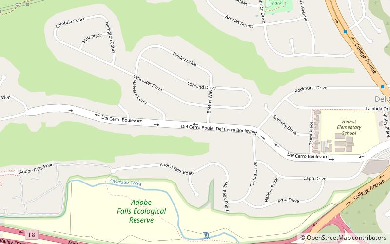
Del Cerro
Del Cerro is a hilly residential neighborhood of approximately 2,300 residents in the eastern part of San Diego, California. Del Cerro borders the communities of San Carlos, Allied Gardens, College Area, Grantville, and the city of La Mesa, and is adjacent to Lake Murray and San Diego State University.
East Village
East Village is a neighborhood in San Diego, California, United States. It is the largest urban neighborhood in downtown San Diego. It is located east of the Gaslamp Quarter and southeast of the Core district and Cortez Hill in downtown San Diego. East Village encompasses 130 blocks between Seventh Avenue east to 18th Street.
North Park
North Park is a neighborhood in San Diego, California, United States, as well as a larger "community" as defined by the City of San Diego for planning purposes.
City Heights
City Heights is a dense urban community in central San Diego, California, known for its ethnic diversity. The area was previously known as East San Diego. City Heights is located south of Mission Valley and northeast of Balboa Park.
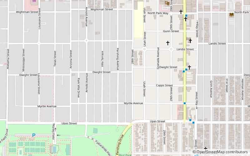
Dryden Historic District
The North Park Dryden Historic District is a historic district in North Park, San Diego, 92104 along both 28th and Pershing Streets, bordered to the north by Landis Street and to the south by Upas Street.
Emerald Hills
Emerald Hills is a community in the southeastern section of the city of San Diego, California, United States. It is bordered by Oak Park and California State Route 94 on the north, Chollas View and Euclid Avenue on the west, Encanto on the east, and Valencia Park and Market Street on the south.
Birdland
Birdland is a neighborhood in San Diego, California. It is located between California State Route 163, Interstate 805 and Mission Valley. Most of the streets in the area are named after different bird species, hence the name of the community.
Wooded Area
The Wooded Area is a neighborhood within the community of Point Loma, San Diego, California. It encompasses the hilltop area south of Talbot Street on both sides of Catalina Boulevard; the area west of Catalina is also referred to as the College Area.
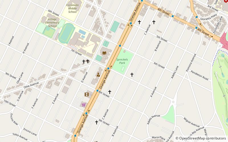
Heilman Villas
Heilman Villas are located at the corner of Seventh Street and Orange Avenue in Coronado, California and consist of 10 standalone bungalows and one 2-story duplex. The duplex and 6 of the bungalows face a central courtyard which faces Orange Ave. The other 4 bungalows face 7th St. Heilman Villas was built for Robert and Lillian Heilman.
El Pueblo Ribera
El Pueblo Ribera Court is a complex of twelve duplexes at 230–248 Gravilla Street and 230–309 Playa del Sur in La Jolla, San Diego, California. It was designed in 1923 by the Austrian-American Rudolf Schindler. Schindler's most famous works are in and around Los Angeles; El Pueblo Ribera is his only work in San Diego.
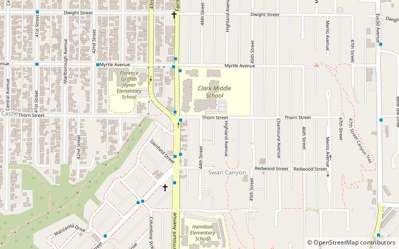
Talmadge
Talmadge is a neighborhood of the mid-city region of San Diego, California. Its borders are defined by Fairmount Avenue to the West, Montezuma Road/Collwood Boulevard to the Northeast, and El Cajon Boulevard to the South.
Map

