Cleveland: Neighbourhood
Places and attractions in the Neighbourhood category
Categories
- Church
- Museum
- Park
- Gothic Revival architecture
- Concerts and shows
- Theater
- Shopping
- Specialty museum
- History museum
- Music venue
- Sport
- Sport venue
- Historical place
- Monuments and statues
- Shopping centre
- Bridge
- Skyscraper
- Neighbourhood
- Architecture
- Nightlife
- Concert hall
- Cemetery
- Music and shows
- Area
- Library
- Garden
- Universities and schools
- Arenas and stadiums
- Art gallery
- Neoclassical architecture
Downtown Cleveland
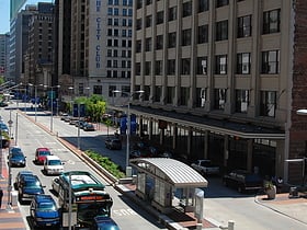
Downtown Cleveland is the central business district of Cleveland, Ohio. The economic and symbolic center of the city and the Cleveland-Akron-Canton, OH Combined Statistical Area, it is Cleveland's oldest district, with its Public Square laid out by city founder General Moses Cleaveland in 1796.
Old Brooklyn
Old Brooklyn is a west side neighborhood of Cleveland, Ohio, United States, located approximately five miles south of downtown Cleveland.
University Circle
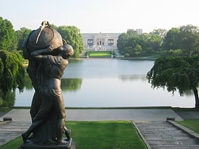
University Circle is a district in the neighborhood of University on the east side of Cleveland, Ohio.
Irishtown Bend Archeological District
Irishtown Bend is the name given to both a former Irish American neighborhood and a landform located on the Flats of the west bank of the Cuyahoga River in the city of Cleveland in the U.S. state of Ohio in the United States.
Kinsman
Kinsman is a neighborhood on the East Side of Cleveland, Ohio. Centered along Kinsman Road, it is bordered to the south by Union Ave, to the east by Kingsbury Blvd and Martin Luther King Jr. Blvd, to the north by the RTA Red Line tracks to the north, and East 55th St to the west.
Goodrich–Kirtland Park
Goodrich–Kirtland Park is a neighborhood on the east side of Cleveland, Ohio. Roughly bounded between Euclid Avenue to the south, E. 55th Street to the east, I-90 to the west, and Lake Erie and Burke Lakefront Airport to the north.
Tremont
Tremont is a neighborhood on the West Side of Cleveland, Ohio. Listed on the National Register of Historic Places, the district sits just south of the Ohio City neighborhood.
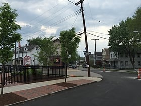
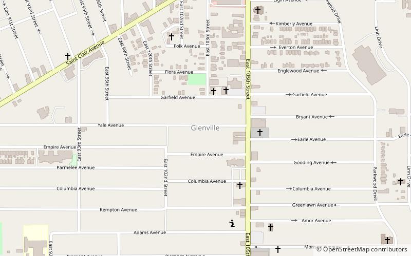
Glenville
Glenville is a neighborhood on the east side of Cleveland, Ohio. The neighborhood has an irregular border. It begins in the northeast at Eddy Road, and follows Hazeldell Road, E. 110th Street, and Lakeview Road south to E. 114th Street.
Hough
Hough is a neighborhood situated along the midtown corridor on the east side of Cleveland, Ohio. It is one of the city's oldest neighborhoods; named after Oliver and Eliza Hough, who first settled in the area in 1799.
St. Clair-Superior
St. Clair–Superior is a neighborhood in Cleveland, Ohio, in the United States. Largely settled in the 1880s and 1890s by Eastern European immigrants, white flight in the 1990s left the neighborhood largely African American. It is one of the oldest and most culturally diverse neighborhoods in Cleveland today.
Clark–Fulton
Clark–Fulton is a neighborhood on the West Side of Cleveland, Ohio. It is bounded roughly by Clark Avenue to the north, Scranton Road to the east, Daisy Avenue and I-71 to the south, and W.48th Street on the west. The neighborhood, which covers about one square mile, is Cleveland's most densely populated community.
Central
Central is a neighborhood on the East Side of Cleveland, Ohio. Situated on the outskirts of downtown, Central is bounded roughly by East 71st Street on its east and Interstate 90 on its west, with Euclid Avenue on its north and Interstate 77 and the Penn Central Railroad to the south.
Euclid Golf Allotment
The Euclid Golf Allotment, also known as the Euclid Golf Historic District, is a historic district located in Cleveland Heights, Ohio, in the United States. Roughly bounded by Cedar Road, Coventry Road, West St.
Ohio City
Ohio City is one of the oldest neighborhoods in Cleveland, Ohio. It is located immediately west of the Cuyahoga River.
Buckeye-Shaker
Buckeye–Shaker is a neighborhood on the east side of Cleveland, Ohio. It encompasses two subneighborhoods: in its south and west the old Buckeye neighborhood and in its northeast the Shaker Square neighborhood which is centered on an historic shopping district and an eponymous...
Collinwood
Collinwood is a historical area on the Northeast Side of Cleveland, Ohio. Originally a village in Euclid Township, it was annexed by the city in 1910.
Union–Miles Park
Union–Miles Park is a neighborhood on the Southeast Side of Cleveland, Ohio, in the United States. The neighborhood draws its name from Union Avenue, and Miles Park in its far southwest corner.
Ambler Heights Historic District
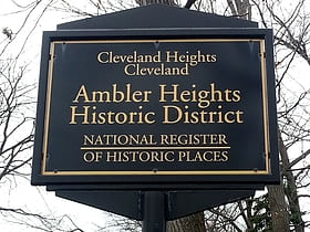
Ambler Heights Historic District is a historic district in Cleveland Heights, Ohio, United States. Listed on the National Register of Historic Places in 2002, it includes 112 contributing buildings in an area of 73 acres, which was created between 1903 and 1927.
Fairhill Road Village
Fairhill Road Village is a small housing development on the border of Cleveland and Cleveland Heights, Ohio. As Fairhill Road Village Historic District it was listed on the National Register of Historic Places in 1990.
Nine-Twelve District
The Nine-Twelve District is a major area of downtown Cleveland, in the U.S. state of Ohio, that is the re-branding of the former Financial District of Cleveland. This re-branding has largely been championed by the Downtown Cleveland Alliance.
East 4th Street District
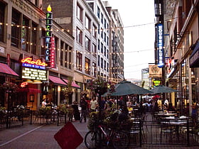
East 4th Street is a major downtown district in Cleveland, Ohio, known for its food, entertainment, and lack of car traffic. The street runs south from Euclid Avenue to Prospect Avenue.
Haydn Hall
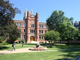
The Flora Stone Mather College District is a 3.6-acre historic district in Cleveland, Ohio, United States. It includes five contributing buildings. The district is in the University Circle neighborhood, on the campus of Case Western Reserve University.
South Broadway
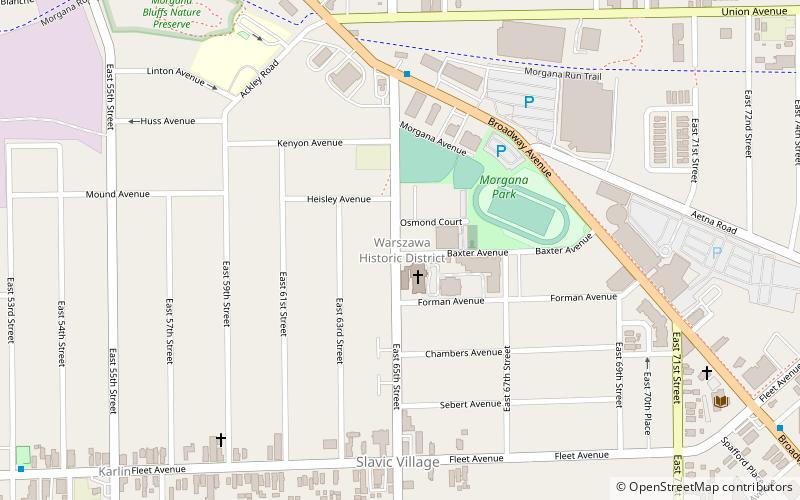
Broadway–Slavic Village is a neighborhood on the southeast side of Cleveland, Ohio. One of the city's oldest neighborhoods, it originated as the township of Newburgh, first settled in 1799. Much of the area has historically served as home to Cleveland's original Czech and Polish immigrants.
Broadway Avenue Historic District
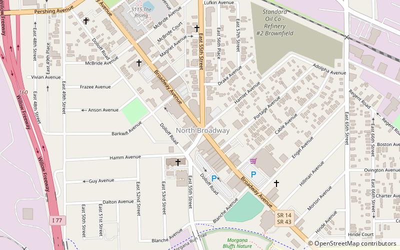
The Broadway Avenue Historic District is a historic commercial district in the Broadway–Slavic Village neighborhood of Cleveland, Ohio, in the United States. The commercial district is the historic center of Cleveland's Czech community, and is an excellent example of a district that grew along a streetcar line.
Detroit–Shoreway
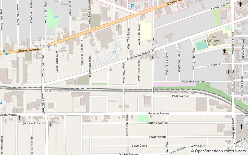
Detroit–Shoreway is a neighborhood on the West Side of Cleveland, in the U.S. state of Ohio. Detroit–Shoreway consists of the streets between Lake Erie and Interstate 90, from West 85th to West 45th streets.
Bellaire–Puritas
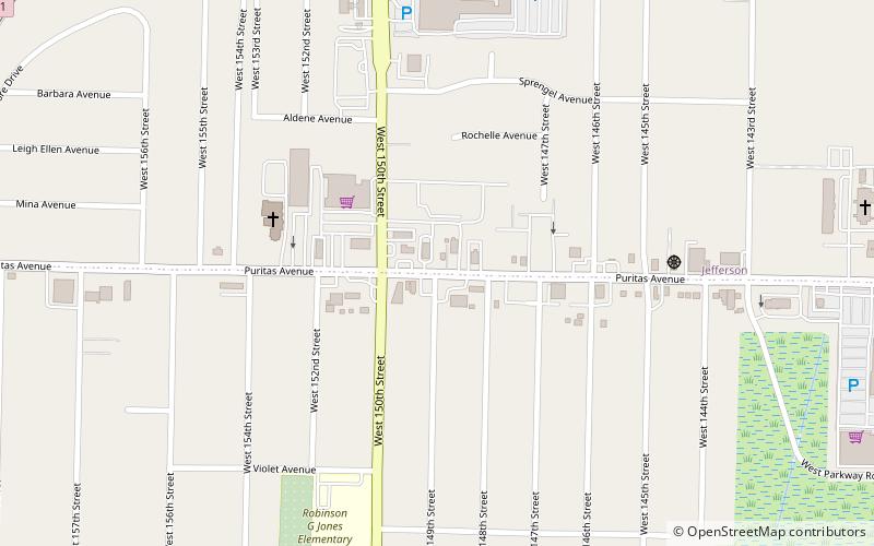
Bellaire–Puritas is a neighborhood on the west side of the city of Cleveland, Ohio, in the United States. Originally part of the Village of West Park, it was annexed by the city in 1923.
Kamm's Corners
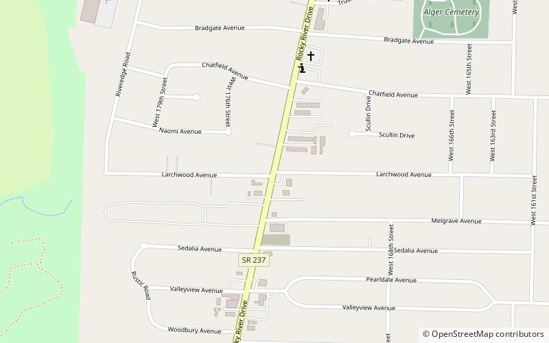
Kamm's Corners is a neighborhood on the West Side of Cleveland, Ohio. It is bounded by the streetcar suburb of Lakewood to the north, the Rocky River Reservation of the Cleveland Metroparks and the suburbs of Rocky River and Fairview Park to the west, the New York Central Railroad tracks to the east, and Puritas Road to the south.
Cuyahoga Valley
Cuyahoga Valley is a neighborhood on the Central and South Side of Cleveland, Ohio, located along the Cuyahoga River. Formerly known as Industrial Valley, the neighborhood was originally limited to only one section of the geographic Cuyahoga River Valley, but the city expanded it in 2012 to include the entire valley area.
Fairfax
Fairfax is a neighborhood on the East Side of Cleveland, Ohio. It is roughly bounded between Euclid Avenue to the north, Woodland Avenue to the south, E. 71st Street to the west and E. 105th Street to the east.
The Flats
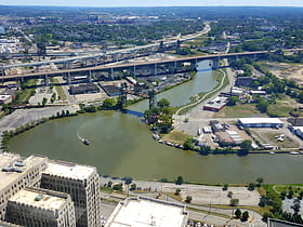
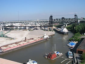
The Flats is a mixed-use industrial, entertainment, and increasingly residential area of the Cuyahoga Valley neighborhood of Cleveland, Ohio, USA. The name reflects its low-lying topography on the banks of the Cuyahoga River.
Brooklyn Centre
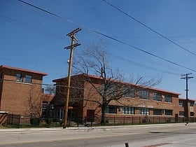
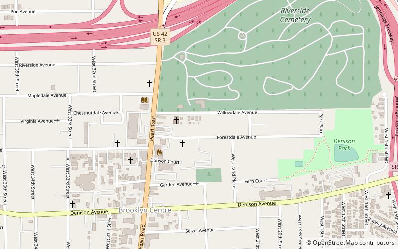
Brooklyn Centre is a neighborhood of Cleveland, Ohio. It was separated from the village of Brighton by a creek. These two villages were connected to other settlements such as Albion and Strongville by the Cleveland and Columbus road.
Archwood Avenue Historic District
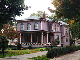
The Archwood Avenue Historic District is a historic residential district in the Brooklyn Centre neighborhood of Cleveland, Ohio, United States.
Ansel Road Apartment Buildings Historic District
The Ansel Road Apartment Buildings Historic District is a historic residential district in the Hough neighborhood of Cleveland, Ohio, in the United States. The district consists of eight contributing and one non-contributing multi-family residential buildings built between 1900 and 1949.
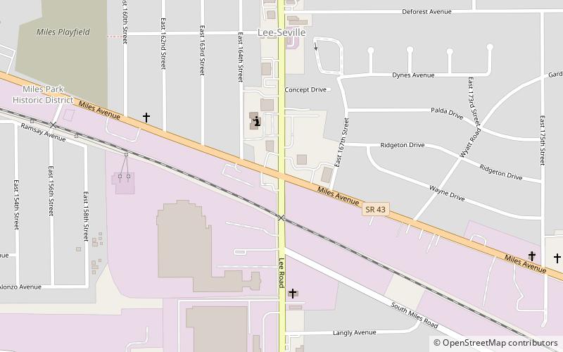
Lee–Miles
Lee–Miles is a historical area on the East Side of Cleveland, Ohio, comprising the two neighborhoods of Lee–Harvard and Lee–Seville. Once an independent municipality known as Miles Heights, it was annexed by Cleveland after a referendum in 1932. Today, it most corresponds to Cleveland's Ward 1.
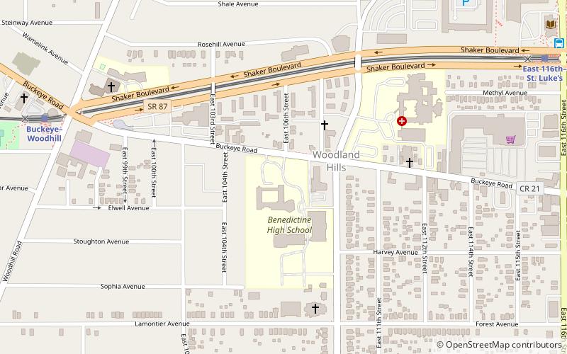
Buckeye–Woodhill
Buckeye–Woodhill is a neighborhood on the East Side of Cleveland, Ohio. It borders the neighborhoods of University Circle and Fairfax to the north, Kinsman to the west, Buckeye–Shaker to the east, and Mount Pleasant to the south. Once a predominately Hungarian neighborhood, its population is today largely African American.
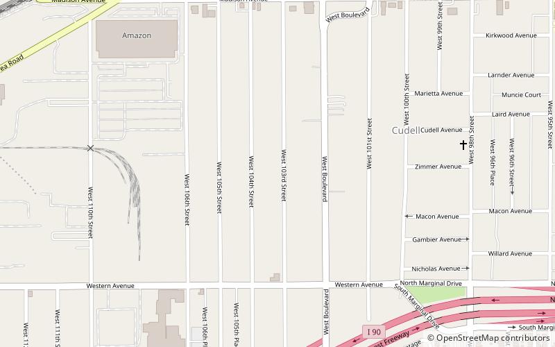
Cudell
Cudell is a neighborhood on the west side of Cleveland, Ohio. Named after Frank E. Cudell, the neighborhood has been a part of Cleveland since 1904, upon the completion of municipal annexation of the land by the city.
Euclid–Green
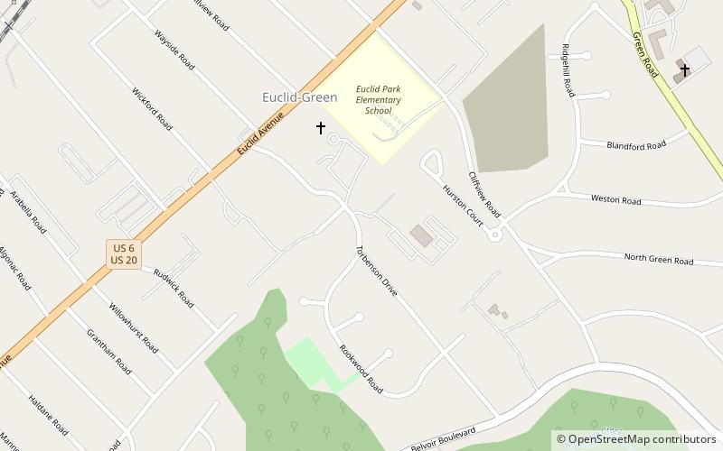
Euclid–Green is a neighborhood on the Northeast Side of Cleveland, Ohio. It is "shaped somewhat like an isosceles triangle" and is bounded by the neighborhood of South Collinwood–Nottingham to the northwest, the suburb of Euclid to the northeast, and the suburbs of South Euclid, Cleveland Heights, and East Cleveland to the south.
West Boulevard
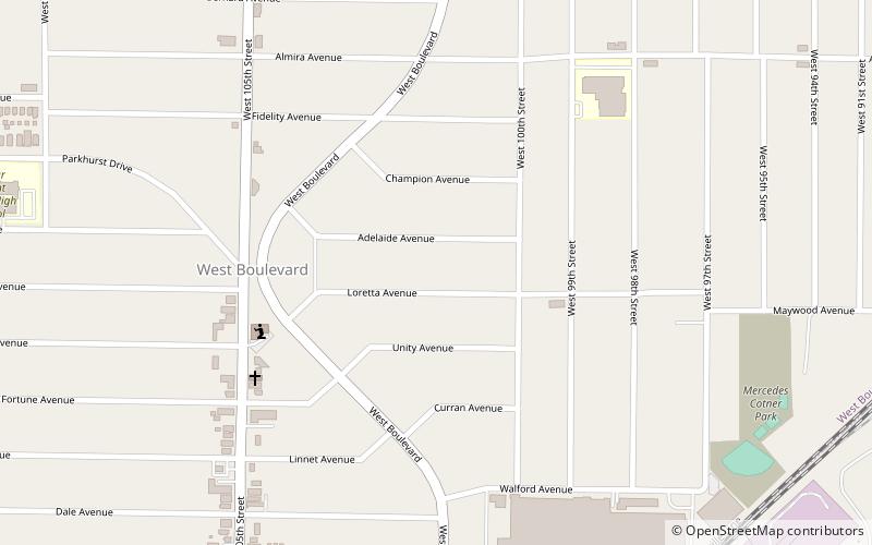
West Boulevard is a neighborhood on the west side of Cleveland, Ohio. A notable neighborhood attraction is Ray's MTB Indoor Park, the world's first multi-terrain indoor bike park. The neighborhood is home to the St. Ignatius of Antioch Catholic Church, completed in 1903.
Euclid Avenue Historic District
The Euclid Avenue Historic District is a historic district in downtown Cleveland, Ohio, United States. Established and listed on the National Register of Historic Places in 2002, it comprises 125 acres along Euclid Avenue and parallel streets from Public Square to East 21st Street.
Wade Park District
The Wade Park District is an historic district on the National Register of Historic Places, located in the University Circle neighborhood on the east side of Cleveland, Ohio.
Woodland-Larchmere Commercial Historic District
The Woodland-Larchmere Commercial Historic District is a historic district which was listed on the National Register of Historic Places in 2015. It is spans the border of Cleveland, Ohio and Shaker Heights, Ohio, in Cuyahoga County, Ohio.
Kingsbury Run
Kingsbury Run is the name that refers to an area on the southeast side of Cleveland, Ohio, located near the suburb of Shaker Heights. The area stretches westward through Kinsman Road.
Campus District
The Campus District is a Downtown Cleveland, Ohio district that includes the campuses of Cleveland State University, St. Vincent Charity Medical Center, and the Cuyahoga Community College Metro Campus. Definitions of the district vary.
Map

