Baltimore: Neighbourhood
Places and attractions in the Neighbourhood category
Categories
- Church
- Museum
- Park
- Gothic Revival architecture
- History museum
- Neighbourhood
- Shopping
- Monuments and statues
- Cemetery
- Historical place
- Specialty museum
- Concerts and shows
- Art gallery
- Nightlife
- Shopping centre
- Theater
- Synagogue
- Art museum
- Sport
- Sport venue
- Greek Revival architecture
- Ship
- Skyscraper
- Market
- Italianate architecture
- Marina
- Sailing
- Concert hall
- Memorial
- Music venue
- Boat or ferry
- Event space
- Garden
- Neoclassical architecture
- Colonial revival architecture
- Entertainment district
- Dancing
- Vernacular architecture
- Georgian architecture
- Music and shows
- Street
- Bridge
- Universities and schools
- Library
- Beaux-Arts architecture
- Romanesque revival architecture
- Modernist architecture
- Arenas and stadiums
- Victorian architecture
Mount Vernon
Mount Vernon is a neighborhood immediately north of downtown Baltimore, Maryland. Designated a National Historic Landmark District and a city Cultural District, it is one of the city's oldest neighborhoods and originally was home to the city's wealthiest and most fashionable families.
Patterson Park
Patterson Park is a neighborhood in Baltimore, Maryland, United States. Named for the 137-acre park that abuts its north and east sides, the neighborhood is in the southeast section of Baltimore city, roughly two miles east of Baltimore's downtown district.
Locust Point
Locust Point is a peninsular neighborhood in Baltimore, Maryland. Located in South Baltimore, the neighborhood is entirely surrounded by the Locust Point Industrial Area; the traditional boundaries are Lawrence street to the west and the Patapsco River to the north, south, and east.
Remington
Remington is a neighborhood in northern Baltimore bordered to the north by Hampden, Wyman Park, and Johns Hopkins University and to the east by Charles Village.
Downtown Baltimore
Downtown Baltimore is the central business district of the city of Baltimore traditionally bounded by Martin Luther King, Jr. Boulevard to the west, Franklin Street to the north, President Street to the east and the Inner Harbor area to the south.
Franklintown Historic District
Franklintown Historic District is a national historic district in Baltimore, Maryland, United States. It is the result of a plan developed in 1832 by William H. Freeman, a local politician and entrepreneur.
Seton Hill
Seton Hill Historic District is a historic district in Baltimore, Maryland. It was listed on the National Register of Historic Places in 1975. It includes St. Mary's Seminary Chapel, which is a National Historic Landmark. It also includes Mother Seton House, briefly home of St.
Federal Hill
Federal Hill is a neighborhood in Baltimore, Maryland, United States that lies just to the south of the city's central business district. Many of the structures are included in the Federal Hill Historic District, listed on the National Register of Historic Places in 1970.
Old West Baltimore Historic District
Old West Baltimore Historic District is a national historic district in Baltimore, Maryland, United States. It is primarily a row house neighborhood of approximately 175 city blocks directly northwest of downtown Baltimore.
Old Goucher
Old Goucher College Buildings is a national historic district in Baltimore, Maryland, United States. It is an approximate 18-block area in the middle of Baltimore which developed in the late 19th and 20th centuries.
Wyndhurst
Wyndhurst is a neighborhood located in the North District of Baltimore, Maryland. Wyndhurst is a square-shaped piece of land bordered by Northern Parkway on the north, Charles Street on the east, Wyndhurst Avenue on the south and Roland Avenue on the west.
Upper Fell's Point
Upper Fells Point, also known as "Fells Prospect," is a neighborhood of Baltimore, Maryland, United States. Located north of Fells Point, originally the neighborhood was home to Baltimore's dock workers. By the 1880s canneries and factories provided employment to new immigrants, including Irish, Italians and Poles.
Greenmount West
Greenmount West is a neighborhood in the state-designated Station North Arts District of Baltimore City. Its borders consist of Hargrove Alley to the west, Hoffman Street and the Amtrak railroad tracks to the south, the south side of North Avenue to the north, and Greenmount Avenue to the east.
Business and Government Historic District
The Business and Government Historic District is a historic district in downtown Baltimore, Maryland, United States, that was listed on the National Register of Historic Places in 1987.
Guilford
Guilford is a prominent and historic neighborhood located in the northern part of Baltimore, Maryland. It is bounded on the south by University Parkway, on the west by North Charles Street, Warrenton and Linkwood Roads, on the north by Cold Spring Lane and on the east by York Road.
Better Waverly
Better Waverly is a neighborhood in the North District of Baltimore, located between the neighborhoods of Charles Village and Coldstream-Homestead-Montebello.
Bolton Hill
Bolton Hill is a neighborhood in Baltimore, Maryland, with 20 blocks of mostly preserved buildings from the late 19th century. It is listed on the National Register of Historic Places, preserved as a Baltimore City Historic District, and included within the boundaries of Baltimore National Heritage Area.
Jonestown
Jonestown is a neighborhood in the southeastern district of Baltimore. Its boundaries are the north side of Pratt Street, the west side of Central Avenue, the east side of Fallsway, and the south side of Orleans Street.
Cheswolde
Cheswolde is residential community in northwest Baltimore, Maryland. It is located along the Western Run. The main roads running through the area are Greenspring Avenue, Cross Country Boulevard, and Taney Road.
Otterbein
Otterbein is a small neighborhood of historic rowhouses in Baltimore, Maryland, United States. Otterbein is immediately southwest of, and in close walking distance to, the Inner Harbor.
Armistead Gardens
Armistead Gardens is a neighborhood in the Northeast District of Baltimore. It is located north of Pulaski Highway and east of Erdman Avenue, between Herring Run Park and the East District neighborhood of Orangeville.
Oliver
Oliver is a neighborhood in the Eastern district of Baltimore, Maryland. Its boundaries are the south side of North Avenue, the east side of Ensor Street, the west side of Broadway, and the north side of Biddle Street.
Fallstaff
Fallstaff is a neighborhood in the Upper Park Heights area of Northwest Baltimore, Maryland, and is one of the city's northwesternmost communities.
Ridgely's Delight
Ridgely's Delight is an historic residential neighborhood in Baltimore, Maryland, United States. Its borders are formed by Russell and Greene Streets to the east, West Pratt Street to the north, and Martin Luther King Jr.
Canton
Canton is a historic waterfront neighborhood in Baltimore, Maryland, United States. The neighborhood is along Baltimore's outer harbor in the southeastern section of the city, roughly two miles east of Baltimore's downtown district and next to or near the neighborhoods of Patterson Park, Fell's Point, Highlandtown, and Brewers Hill.
Woodberry
Woodberry is a neighborhood located in the north-central area of Baltimore, Maryland, USA.
Irvington
Irvington is a neighborhood in the Southwest District of Baltimore, located between Yale Heights neighborhood to the west and the Gwynns Falls neighborhood to the east.
Franklin Square Historic District
Franklin Square Historic District is a national historic district in Baltimore, Maryland, United States. It is a 19th-century rowhouse neighborhood developed along a strict grid street pattern.
Barclay
Barclay is a neighborhood in the center of Baltimore City. Its boundaries, as defined by the City Planning Office, are marked by North Avenue, Greenmount Avenue, Saint Paul and 25th Streets.
McElderry Park
McElderry Park is a neighborhood in the northern part of the southeastern district of the City of Baltimore. Its boundaries are marked by East Fayette Street, East Monument Street, Linwood Avenue, and Patterson Park Avenue.
Park Heights
Park Heights is an area of Baltimore City, Maryland, that lies approximately 10 miles northwest of downtown Baltimore and within two miles of the Baltimore County line. A 1,500-acre community, Park Heights comprises 12 smaller neighborhoods that together contain approximately 30,000 residents.
Butchers Hill
Butchers Hill is a neighborhood in Southeast Baltimore, Maryland, United States. It is north of Fells Point, east of Washington Hill, and northwest of Patterson Park.
Homeland
Homeland is a neighborhood in the northern part of Baltimore, Maryland, United States. It is bounded roughly by Melrose Avenue on the north, Bellona Avenue on the east, Homeland Avenue on the south, and Charles Street on the west.
Waltherson
Waltherson is a neighborhood located in Northeast Baltimore, Maryland, United States that runs between Harford Road to Belair Road and from Hamilton Ave in the north and Southern Ave in the south.
Reservoir Hill
Reservoir Hill, also known as Whitelock, is a neighborhood in the city of Baltimore, Maryland, United States. It is located south of Druid Hill Park, north of Bolton Hill, east of Penn-North, and west of Jones Falls.
Dickeyville
The Dickeyville Historic District is a National Register of Historic Places-listed community located just inside the western edge of Baltimore City, Maryland, near the intersection of Interstates 70 and 695 and adjacent to Kernan Hospital.
East Baltimore Midway
East Baltimore Midway is a neighborhood in the Eastern district of Baltimore, Maryland. Its boundaries are the south side of 25th Street, the east side of Greenmount Avenue, the west side of Harford Road, and the north side of North Avenue.
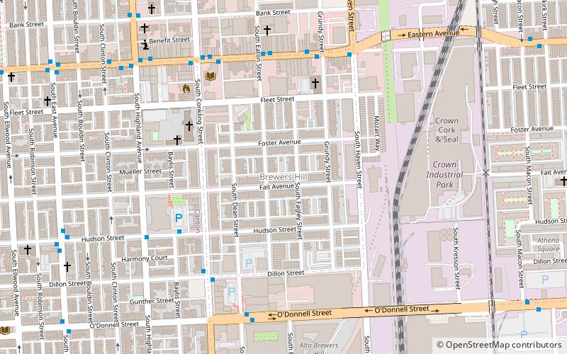
Brewers Hill
Brewers Hill is a neighborhood in the Southeast District of Baltimore, Maryland, United States. The neighborhood is bounded by Fleet Street to the north, Haven Street to the east, Dillon Street to the south, and Conkling Street to the west.
Hawkins Point
Hawkins Point is a neighborhood in the South District of Baltimore, located at the southern tip of the city between Curtis Bay and the Anne Arundel County line and Thoms Cove.
Reisterstown Station
Reisterstown Station is a neighborhood in the Northwest District of Baltimore, located between the neighborhoods of Glen and Grove Park. The Baltimore County line is the neighborhood's western border.
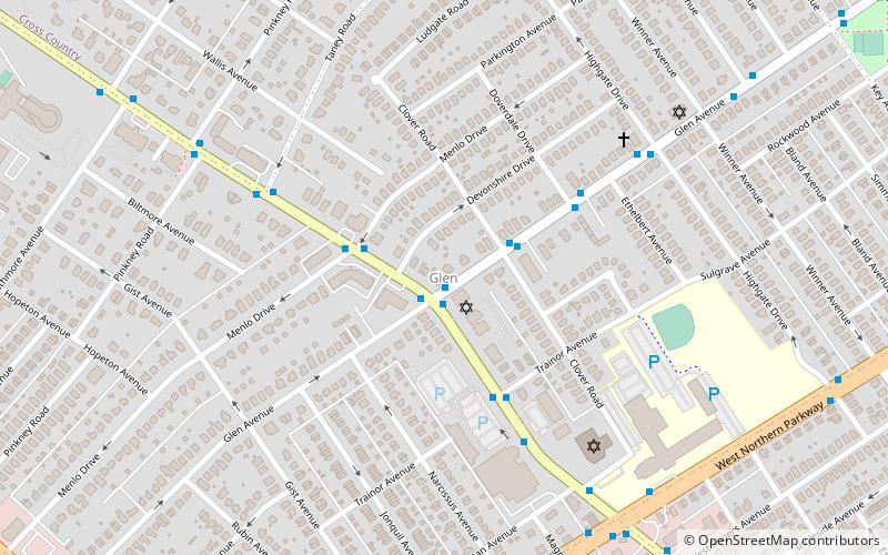
Glen
Glen is a neighborhood in Baltimore, Maryland. It was developed in the early 1920s and 1930s, with the remaining development coming in the 1940s through the 1960s. Glen is one of the largest communities of Northern Park Heights in Baltimore.
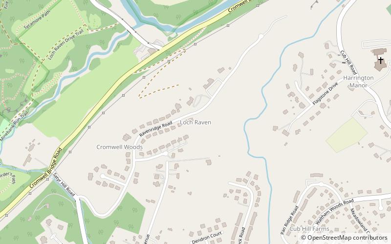
Loch Raven
Loch Raven is a neighborhood in the Northeastern part of Baltimore, Maryland. It is located in the Upper Northwood Section of Northeast Baltimore east of Loch Raven Boulevard, west of Mount Pleasant Park, and borders the Baltimore City/County Line and served by the Loch Raven Improvement Association.
Sabina Mattfeldt
Sabina Mattfeldt is a neighborhood in the North District of Baltimore, located beside the Jones Falls, between the neighborhoods of Mount Washington and Poplar Hill. Its name comes from the two streets, Sabina Avenue and Mattfeldt Avenue, where most of the neighborhood's homes are located.
Belair-Edison
Belair-Edison is a neighborhood in the Northeastern part of Baltimore, Maryland, United States. It is located along Harford and Bel Air Roads, above Sinclair Lane, bounded on its eastern and northern side by Herring Run Park. It is a predominantly residential neighborhood with houses that range from middle class to lower income.
Cedarcroft
Cedarcroft is a distinctive residential neighborhood in the North district of Baltimore, bordered by Gittings, East Lake and Bellona Avenue avenues and York Road.
Map


