Richmond: Neighbourhood
Places and attractions in the Neighbourhood category
Categories
- Museum
- History museum
- Church
- Park
- Greek Revival architecture
- Shopping
- Bridge
- Historical place
- Gothic Revival architecture
- Cemetery
- Specialty museum
- Shopping centre
- Concerts and shows
- Theater
- Monuments and statues
- Tudor Revival architecture
- Memorial
- Neighbourhood
- Art museum
- Garden
- Playground
- Art gallery
- Performing arts
- Sport
- Sport venue
- Arenas and stadiums
- Georgian architecture
- Library
- Romanesque architecture
- Queen Anne architecture
- Colonial revival architecture
- Italianate architecture
- Interesting neighbourhood
- Neoclassical architecture
Museum District
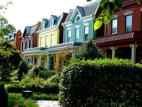
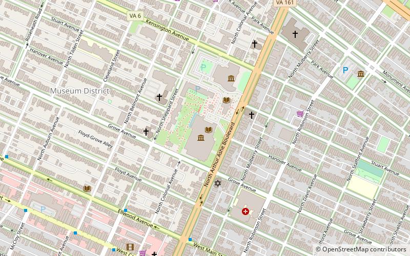
The Museum District, alternately known as West of the Boulevard, is a neighborhood in the city of Richmond, Virginia. It is anchored by the contiguous six-block tract of museums along the west side of Boulevard, including the Virginia Museum of Fine Arts and the Virginia Museum of History & Culture, hence the name.
Arthur Ashe Boulevard
Arthur Ashe Boulevard is a historic street in the near the West End of Richmond, Virginia, providing access to Byrd Park. It serves as the border between the Carytown/Museum District to the west and the Fan district to the east.
Downtown Richmond
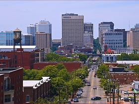
Downtown Richmond is the central business district of Richmond, Virginia. It is generally defined as being bound by Belvidere Street to the west, I-95 to the north and east, and the James River to the south. The Fan district borders it to the west, Highland Park to the north, Church Hill to the east, and Manchester to the south.
West End
The West End is a part of Richmond, Virginia. Definitions of the bounds of the West End vary, it may include only the western part of the city of Richmond or extend as far as western Henrico County.
Fan District
The Fan is a district of Richmond, Virginia, so named because of the "fan" shape of the array of streets that extend west from Belvidere Street, on the eastern edge of Monroe Park, westward to Arthur Ashe Boulevard. However, the streets rapidly resemble a grid after they go through what is now Virginia Commonwealth University.
East End
The East End of Richmond, Virginia is the quadrant of the City of Richmond, Virginia, and more loosely the Richmond metropolitan area, east of the downtown.
Carytown
Carytown is an urban retail district in Richmond, Virginia; it is along Cary Street at the southern end of the Museum District.
Jackson Ward
Jackson Ward is a historically African-American district in Richmond, Virginia with a long tradition of African-American businesses.
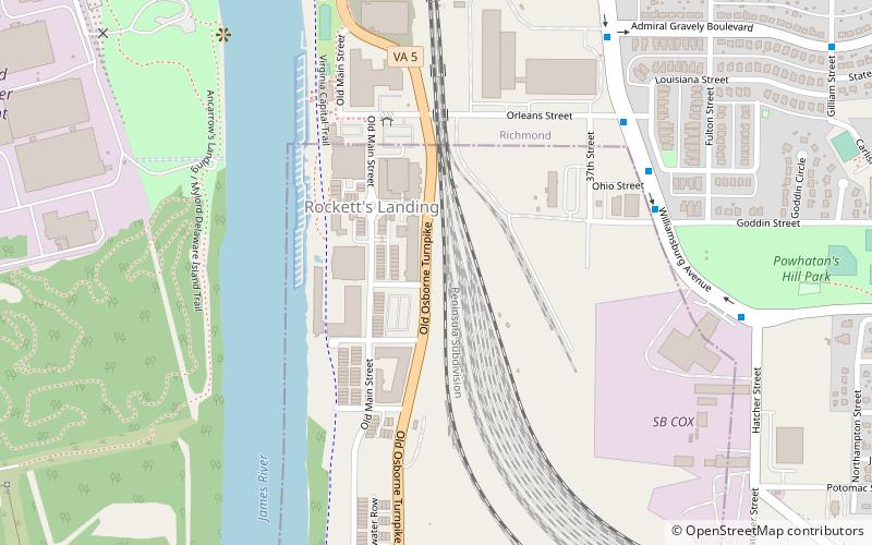
Rocketts Landing
Rockett's Landing is a new urbanist neighborhood in southeastern Richmond, Virginia on the border of Henrico County, Virginia and the north bank of the James River.
Oregon Hill
Oregon Hill is a historic working-class neighborhood in Richmond, Virginia. Oregon Hill overlooks the James River and Belle Isle, and provides access to Hollywood Cemetery.
Shockoe Bottom
Shockoe Bottom is an area in Richmond, Virginia, just east of downtown, along the James River. Located between Shockoe Hill and Church Hill, Shockoe Bottom contains much of the land included in Colonel William Mayo's 1737 plan of Richmond, making it one of the city's oldest neighborhoods.
Shockoe Slip
Shockoe Slip is a district in the downtown area of Richmond, Virginia. The name "slip" referred to a narrow passageway leading from Main Street to where goods were loaded and unloaded from the former James River and Kanawha Canal.
Windsor Farms
Windsor Farms is a 20th-century neighborhood in Richmond, Virginia, of primarily Colonial Revival design. Designed in 1926, Windsor Farms is one of Richmond's first planned neighborhoods. It was designed to look like an English village, with curvy streets and English names like Dover, Canterbury, Berkshire, and so on.
Union Hill
Union Hill is a historic district of Richmond, Virginia.
Libby Hill
Libby Hill is a small neighborhood in Richmond, Virginia. Libby Hill is located on the southeastern spur of Church Hill, overlooking the James River and the Lucky Strike building. It is known for Libby Hill Park and "The View that Named Richmond". The Libby Hill neighborhood is entirely within the St. John's Church Historic District.
Chestnut Hill–Plateau Historic District
The Chestnut Hill–Plateau Historic District is a historic area in the Highland Park neighborhood of Richmond, Virginia. It is also known as 'Highland Park Southern Tip' on city neighborhood maps.
Gambles Hill
Gambles Hill is a neighborhood near Downtown Richmond, Virginia. The neighborhood contains the Virginia War Monument, Historic Tredegar, Brown's Island and the WestRock Corporation.
Shockoe Valley
Shockoe Valley is an area in Richmond, Virginia, just east of downtown, along the James River, and is the entertainment center of the city.
Court End
Court End is a neighborhood in Richmond, Virginia, that sits to the north of the Capitol Square and East Broad Street. It developed in the Federal era, after Virginia's capital moved from Williamsburg.
Shed Town
Shed Town is a neighborhood in the East End that overlaps Church Hill and Union Hill, Richmond, Virginia.
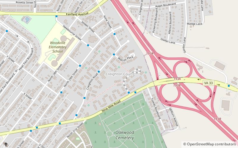
Creighton Court
Creighton Court is a neighborhood in Richmond, Virginia's East End region. Creighton Court sits on the border between the City of Richmond and eastern Henrico County. The neighborhood is situated directly north of the Oakwood Cemetery and alongside the interchange of Virginia Route 33 and Interstate 64.
Texas Beach
Texas Beach in Richmond, Virginia is a riverside area located south of Maymont and west of Hollywood Cemetery. The area is named Texas Beach after Texas Avenue in the Maymont neighborhood, which was the original street to reach the recreation area.
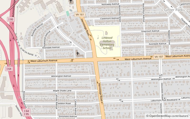
Hermitage Road Historic District
Hermitage Road Historic District is a Northside neighborhood in the independent city of Richmond, Virginia. The district is a Richmond Old and Historic District, as well as being listed on the Virginia Landmarks Register and the National Register of Historic Places.
Barton Heights
Barton Heights is a streetcar suburb neighborhood and former town in the Northside area of Richmond, Virginia. The area was primarily developed between 1890 and the 1920s.
Brookland Park Historic District
The Brookland Park Historic District is a national historic district located at Richmond, Virginia. The district encompasses 1,157 contributing buildings located north of downtown Richmond and Barton Heights.
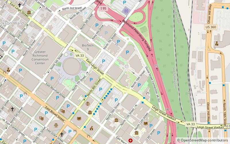
BioTech 1
The Biotech and MCV District is the community that surrounds the MCV Campus of Virginia Commonwealth University in Downtown Richmond, Virginia.
Sauer's Gardens
Sauer's Garden is a neighborhood in the West End of Richmond, Virginia. The neighborhood began development in the 1920s, and now contains about 300 homes.
Monroe Ward
Monroe Ward is a historic neighborhood in Downtown Richmond. It is East of the Fan district and includes several apartment buildings, usually with VCU students living in them.
Tobacco Row
Tobacco Row is a collection of tobacco warehouses and cigarette factories in Richmond, Virginia adjacent to the James River and Kanawha Canal near its eastern terminus at the head of navigation of the James River.
Colonial Place
Colonial Place is a small, upper-middle-class neighborhood in the West End of Richmond, Virginia.
Malvern Gardens
Malvern Gardens is a small, upper-middle class neighborhood in the West End of Richmond, Virginia.
Springhill Historic District
The Springhill Historic District is a national historic district encompassing an early-20th century residential neighborhood in Richmond, Virginia.
Byrd Park Court Historic District
The Byrd Park Court Historic District encompasses a small, well-preserved residential subdivision in western Richmond, Virginia.
North Thompson Street Historic District
The North Thompson Street Historic District encompasses a collection of six International Style commercial buildings on North Thompson Street, between Monument Avenue and Broad Street, in Richmond, Virginia, United States. All are built of steel, brick, and concrete, and feature expanses of glass and asymmetrical plans.
Mosby Court
Mosby Court is a Housing Project also a neighborhood.The neighborhood is named Mosby while the Housing Project is named Mosby Court.
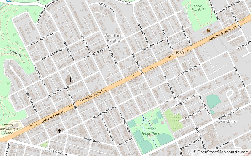
Woodland Heights
Woodland Heights, VA is a neighborhood in the city of Richmond, Virginia. It began as a trolleycar neighborhood in the early 1900s and was built up along the James River beside Forest Hill Park.
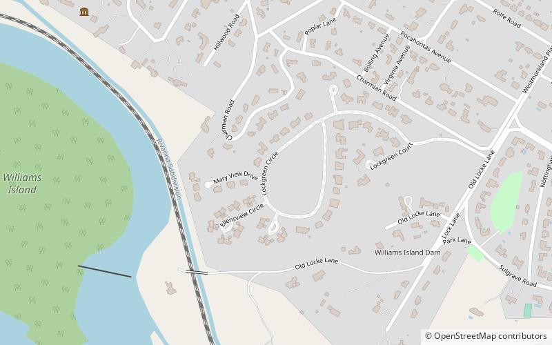
Lockgreen
Lockgreen is an upper-class gated community located in Richmond, Virginia's West End. The neighborhood lies within Wilton and is served by Lockgreen Circle. Lockgreen was built as an extension to Windsor Farms's Old Locke subdivision. The zip code for the subdivision is 23226.
West Broad Street Commercial Historic District
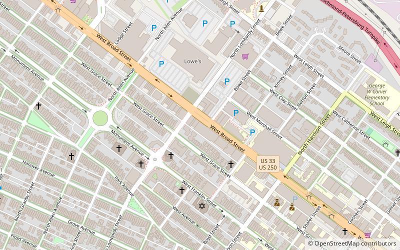
The West Broad Street Commercial Historic District is a national historic district located at Richmond, Virginia. The district encompasses 20 contributing buildings built between about 1900 and the late 1930s.
Pine Camp
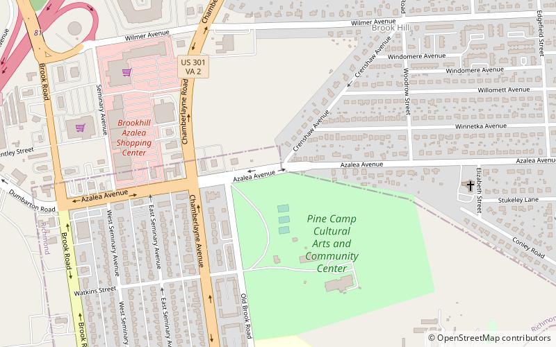
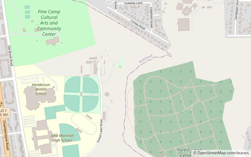
Pine Camp is a neighborhood in Richmond, Virginia's North Side. The area is heavily forested, and houses the Pine Camp Community Center, one of the largest recreational centers in Northern Richmond.
Chamberlayne Industrial Center
The Chamberlayne Industrial Center, sometimes simply known as Chamberlayne is a heavy industry district within the boundaries of Richmond, Virginia's North Side region.
Jahnke
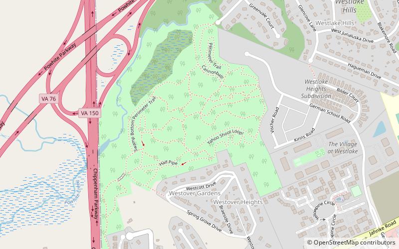
Jahnke is a neighborhood in Richmond, Virginia located in the Southside region of the city. The neighborhood lies within the city limits. The zip code for the neighborhood is 23225. Jahnke is named after Jahnke Road which is the main road through the neighborhood.
Gilpin
Gilpin is a small neighborhood located in Richmond, Virginia and within the boundaries of the North Side of the city limits.
Old Town Manchester
Old Town Manchester is a neighborhood in Richmond, Virginia's Southside quadrant. The neighborhood is where downtown Manchester, Richmond, Virginia, United States, was situated before the city merged with Richmond.
Upper Shockoe Valley
Upper Shockoe Valley is a neighborhood in Richmond, Virginia that straddles alongside Interstate 95. The name is given based on the Shockoe River Valley created within the boundaries of the neighborhood.
Central Office District
The Central Office District is the central business district for Downtown Richmond, Virginia. The district contains a majority of the city core, with several high rises situated in this region of the city.
Map

