Vancouver: Neighbourhood
Places and attractions in the Neighbourhood category
Categories
- Park
- Museum
- Shopping
- Bridge
- Theater
- Shopping centre
- Concerts and shows
- Church
- Nightlife
- Outdoor activities
- Music venue
- Library
- Specialty museum
- Sport
- Sport venue
- Skyscraper
- Art museum
- Art gallery
- Nature
- Natural attraction
- Garden
- Amusement park
- Neighbourhood
- View point
- Dancing
- History museum
- Architecture
- Beach
- Botanical garden
- Memorial
- Lake
- Mountain
- Sacred and religious sites
- Cinema
- Tours
- Harbor
- Golf
- Street
- Gothic Revival architecture
- Arenas and stadiums
Gastown
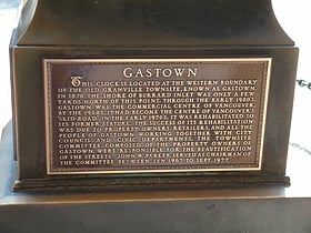
Gastown is the original settlement that became the core of the city of Vancouver, British Columbia, Canada, and a national historic site and a neighbourhood in the northwest section of the Downtown Eastside, adjacent to Downtown Vancouver.
Kitsilano
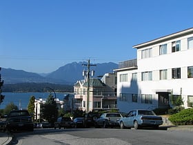
Kitsilano' is a neighbourhood located in the city of Vancouver, British Columbia, Canada. Kitsilano is named after Squamish Chief August Jack Khatsahlano, and the neighbourhood is located in Vancouver's West Side along the south shore of English Bay, between the neighbourhoods of West Point Grey and Fairview.
Yaletown
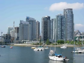
Yaletown is an area of Downtown Vancouver approximately bordered by False Creek and by Robson and Homer Streets. Formerly a heavy industrial area dominated by warehouses and rail yards, since Expo 86 it has been transformed into one of the most densely populated neighbourhoods in the city.
West End
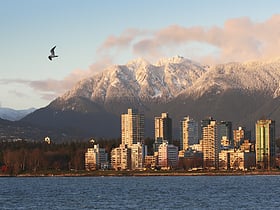
The West End is a neighbourhood in Vancouver, British Columbia, Canada, located between the Coal Harbour neighbourhood and the financial and central business districts of Downtown Vancouver to the east, Stanley Park to the northwest, the English Bay to the west, and Kitsilano to the southwest across the False Creek opening.
Granville Island
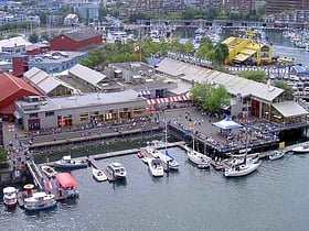
Granville Island is a peninsula and shopping district in Vancouver, British Columbia, Canada. It is located across False Creek from Downtown Vancouver under the south end of the Granville Street Bridge.
Downtown Eastside
The Downtown Eastside is a neighbourhood in Vancouver, British Columbia, Canada. One of the city's oldest neighbourhoods, the DTES is the site of a complex set of social issues including disproportionately high levels of drug use, homelessness, poverty, crime, mental illness and sex work.
West Point Grey
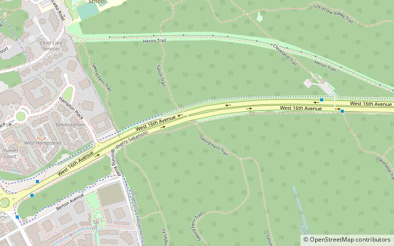
West Point Grey is a neighbourhood in the northwest of the city of Vancouver, British Columbia, Canada. It is located on Point Grey and is bordered by 16th Avenue to the south, Alma Street to the east, English Bay to the north, and Blanca Street to the west.
University Endowment Lands
The University Endowment Lands is an unincorporated area that lies to the west of the city of Vancouver, British Columbia, Canada, and adjacent to the University of British Columbia and the lands associated with that campus.
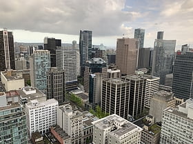
Downtown Vancouver
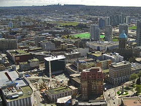
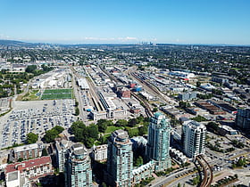
Downtown Vancouver is the main central business district and the city center neighbourhood of Metro Vancouver, located on the northwestern shore of the Burrard Peninsula in the Lower Mainland region of British Columbia.
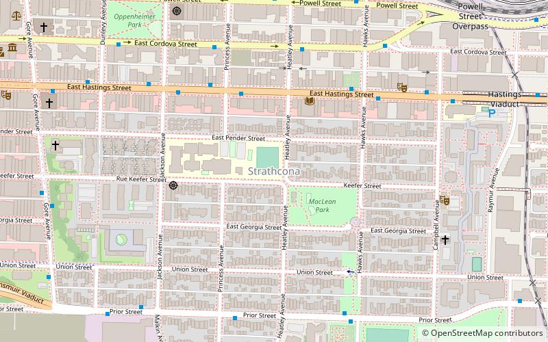
Strathcona
Strathcona is the oldest residential neighbourhood of Vancouver, British Columbia, Canada.
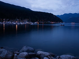
Deep Cove
Deep Cove refers to the community in the easternmost part of the District of North Vancouver, in British Columbia, Canada, and is also the geographic name of the small bay beside the town. It is affectionately referred to as "The Cove" by local residents.
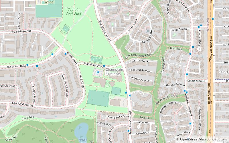
Champlain Heights
Champlain Heights is a neighbourhood in the city of Vancouver, British Columbia, Canada. It is a family-friendly community with a mix of housing types built around green spaces and walking trails, including Everett Crowley Park, the fifth-largest park in Vancouver.
South Cambie
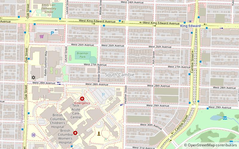
South Cambie is a neighbourhood in the city of Vancouver, British Columbia, Canada, that is generally considered one of the smallest neighbourhoods in the city, both in size and in population.
East Vancouver
East Vancouver is a region within the city of Vancouver, British Columbia, Canada. Geographically, East Vancouver is bordered to the north by Burrard Inlet, to the south by the Fraser River, and to the east by the city of Burnaby.
Marpole
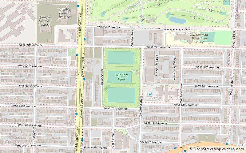
Marpole, originally a Musqueam village named c̓əsnaʔəm, is a mostly residential neighbourhood of 23,832 in 2011, located on the southern edge of the city of Vancouver, British Columbia, immediately northeast of Vancouver International Airport, and is approximately bordered by...
Grandview–Woodland
Grandview–Woodland, also commonly known as Grandview–Woodlands, is a neighbourhood in Vancouver, British Columbia, Canada to the east of the downtown area, stretching south from the shores of Burrard Inlet and encompassing portions of the popular Commercial Drive area.
Renfrew–Collingwood
Renfrew–Collingwood is a large neighbourhood that lies on the eastern side of Vancouver, British Columbia, Canada, on its boundary with Burnaby and encompassing an area that was one of the earlier developed regions of the city.
Arbutus Ridge
Arbutus Ridge is an affluent residential neighbourhood in Vancouver's West Side. It is bordered by 16th Avenue in the north, 41st Avenue in the south, Mackenzie Street in the west, and East Boulevard in the east.
Dunbar–Southlands
Dunbar–Southlands is a neighbourhood on the western side of Vancouver, British Columbia, Canada, that stretches north from the Fraser River and covers most of the land between the mouth of the Fraser and English Bay.
Shaughnessy
Shaughnessy is an almost-entirely residential neighbourhood in Vancouver, British Columbia, Canada, spanning about 447 hectares in a relatively central locale. It is bordered by 16th Avenue to the north, 41st Avenue to the south, Oak Street to the east, and East Boulevard to the west.
Victoria–Fraserview
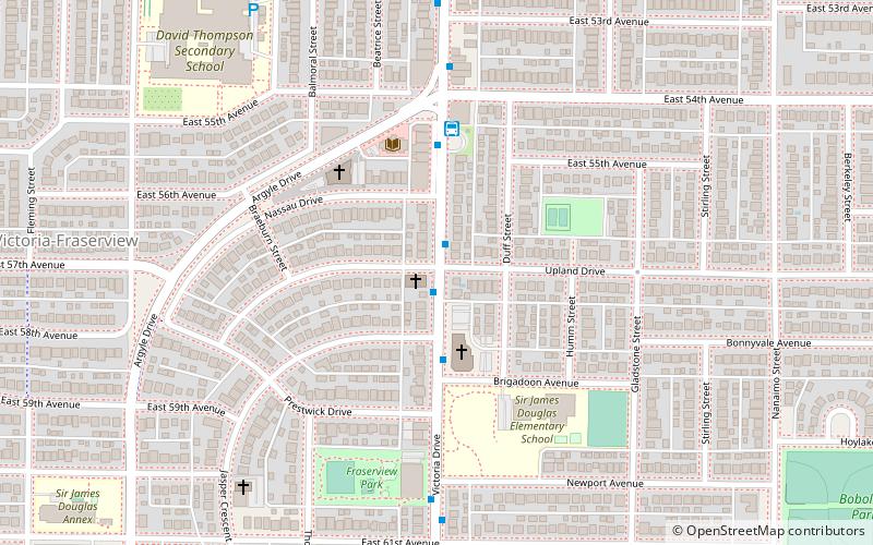
Victoria–Fraserview is a neighbourhood in the City of Vancouver, set on the south slope of the rise that runs north from the Fraser River and encompassing a large area of residential and commercial development.
Riley Park–Little Mountain
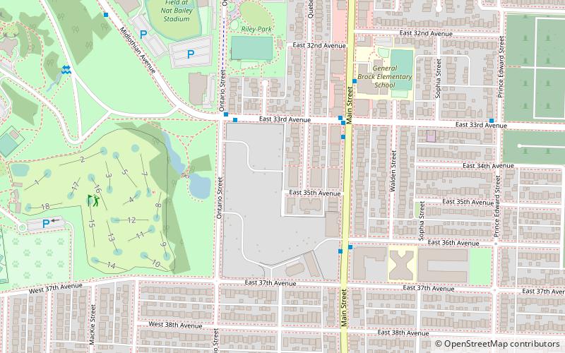
Riley Park–Little Mountain is a neighbourhood in Vancouver, British Columbia. Its boundaries are 41st Avenue to the south, 16th Avenue to the north, Cambie Street to the west, and Fraser Street to the east. The main commercial thoroughfare of the neighbourhood is Main Street.
Altamont
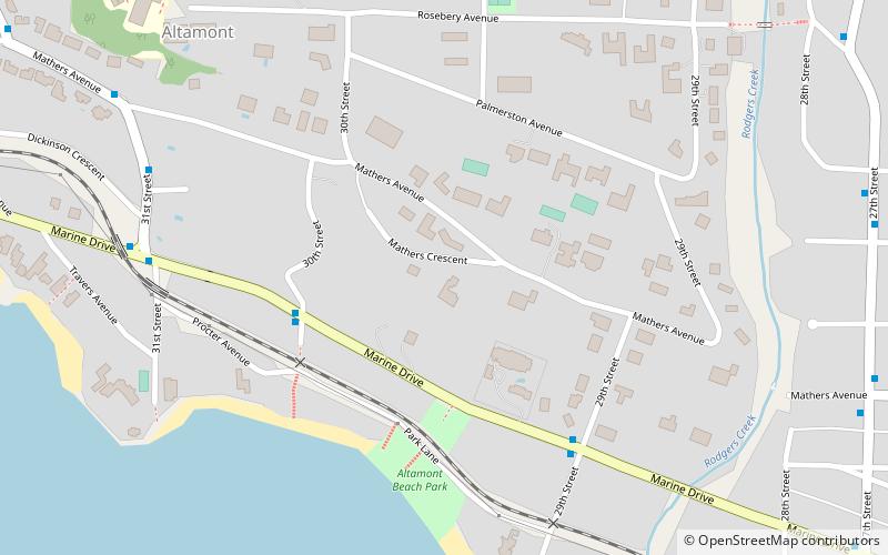
Altamont is a neighbourhood of the District of West Vancouver, British Columbia, Canada. Named by John Fitzgerald Mahon of Vancouver and London, who subdivided land here in 1913, after his brother-in-law's courtesy title, Earl of Altamont, the eldest son of the Marquess ...
Edgemont Village
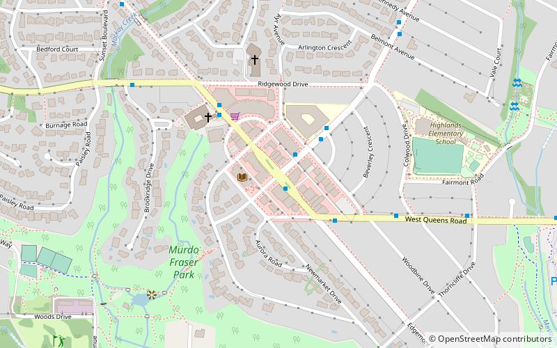
Edgemont Village is a small commercial area in the District of North Vancouver, in British Columbia, Canada. It is the commercial centre of an affluent area known for mid century modern architecture. It is centred on the intersection of Edgemont Boulevard and Highland Boulevard.
South Granville Rise
Established in 1907, South Granville is an upscale Business Improvement Area and neighbourhood south of Vancouver's downtown core, centred along Granville Street and bordered by the neighbourhoods of Kitsilano, Fairview and Shaughnessy.
Map

