Washington D.C.: Street
Places and attractions in the Street category
Categories
- Museum
- Park
- Monuments and statues
- Church
- History museum
- Memorial
- Library
- Gothic Revival architecture
- Bridge
- Neighbourhood
- Street
- Art museum
- Historical place
- Specialty museum
- Theater
- Shopping
- Concerts and shows
- Neoclassical architecture
- Nightlife
- Greek Revival architecture
- Beaux-Arts architecture
- Cemetery
- Vernacular architecture
- Romanesque architecture
- Colonial revival architecture
- Art gallery
- Dancing
- Sculpture
- Georgian architecture
- Architecture
- Victorian architecture
- Sport
- Sport venue
- Garden
- Romanesque revival architecture
- Italianate architecture
- Sacred and religious sites
- Neo-renaissance architecture
- Palladian architecture
- Synagogue
- Arenas and stadiums
- Modernist architecture
- Queen Anne architecture
- Memorial site
- View point
- Restaurant
- Military museum
- Waterfront
- Lake
- Reportedly haunted
- Modern art museum
- Shopping centre
- Art Deco architecture
- Universities and schools
- Natural attraction
- Cinema
- Area
- Tower
- Market
- Interesting neighbourhood
- Tudor Revival architecture
- Sailing
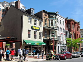
H Street
H Street is a set of east-west streets in several of the quadrants of Washington, D.C. It is also used as an alternate name for the Near Northeast neighborhood, as H Street NW/NE is the neighborhood's main commercial strip.
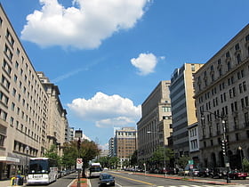
K Street
K Street is a major thoroughfare in the United States capital of Washington, D.C. known as a center for numerous lobbyists and advocacy groups.
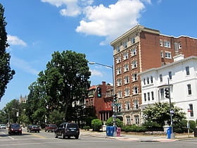
16th Street NW
16th Street Northwest is a prominent north–south thoroughfare in the northwest quadrant of Washington, D.C.
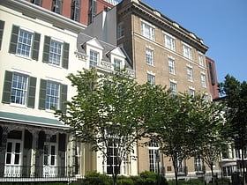
Madison Place
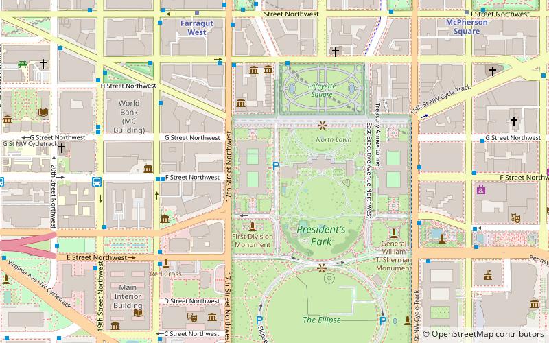
Madison Place is a one-block street located in northwest Washington, D.C. across from the White House. It forms the eastern border of Lafayette Square between Pennsylvania Avenue and H Street NW. Buildings on Madison Place include the Howard T.
Washington Circle
Washington Circle is a traffic circle in the northwest quadrant of Washington, D.C. United States.
18th Street NW
18th Street Northwest is a prominent north–south street thoroughfare in the Northwest quadrant of Washington, D.C.
East Capitol Street
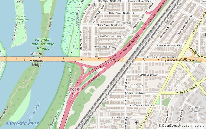
East Capitol Street is a major street that divides the northeast and southeast quadrants of Washington, D.C. It runs due east from the United States Capitol to the DC-Maryland border. The street is uninterrupted until Lincoln Park then continues eastward to Robert F. Kennedy Memorial Stadium.
District of Columbia Route 295
District of Columbia Route 295, also known as the Anacostia Freeway as well as the Kenilworth Avenue Freeway north of East Capitol Street, is a freeway in the District of Columbia, and currently the only signed numbered route in the District that is not an Interstate Highway or U.S. Highway.
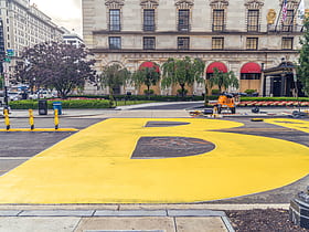
Black Lives Matter Plaza
Black Lives Matter Plaza is a two-block-long pedestrian section of 16th Street NW in Downtown Washington, D.C.
Constitution Avenue
Constitution Avenue is a major east–west street in the northwest and northeast quadrants of the city of Washington, D.C. in the United States. It was originally known as B Street, and its western section was greatly lengthened and widened between 1925 and 1933.
Barracks Row
Barracks Row is a commercial strip along 8th Street SE in the Navy Yard neighborhood in the Southeast Quadrant of Washington, D.C. south of Eastern Market between M St. SE and Pennsylvania Ave. SE. The area takes its name from the Marine Barracks, which it faces along 8th Street SE.
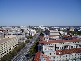
Pennsylvania Avenue
Pennsylvania Avenue is a diagonal street in Washington, D.C. and Prince George's County, Maryland, that connects the White House and the United States Capitol and then crosses the city to Maryland.
Maine Avenue
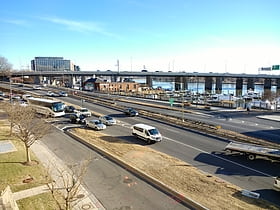
Maine Avenue is a diagonal avenue in the Southwest quadrant of Washington, D.C. Maine Avenue connects Independence Avenue with M Street SW, and has an interchange with Interstate 395.
Massachusetts Avenue
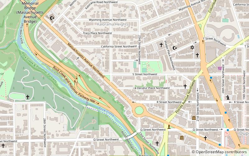
Massachusetts Avenue is a major diagonal transverse road in Washington, D.C. and the Massachusetts Avenue Historic District is a historic district that includes part of it. Appearing in Peter Charles L'Enfant's original plan, Massachusetts Avenue crosses three of Washington's four quadrants.
Anna J. Cooper Circle
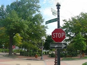
Anna J. Cooper Circle is a traffic circle and park at the intersection of 3rd and T Streets, Northwest, in the historic LeDroit Park neighborhood of Washington, D.C. In 1983, the circle was named in honor of Anna Julia Haywood Cooper, an author, educator, feminist, and influential African American scholar who once lived in LeDroit Park.
Barney Circle
Barney Circle is a small residential neighborhood located between the west bank of the Anacostia River and the eastern edge of Capitol Hill in southeast Washington, D.C. in the United States.
New York Avenue
New York Avenue is a diagonal avenue radiating northeast from the White House in Washington, D.C. to the border with Maryland.
Ohio Drive
Ohio Drive is a street in Southwest Washington, D.C. located in East and West Potomac Parks and bordering the Tidal Basin, Washington Channel, and the Potomac River. It is a central organizing feature of East Potomac Park, providing the only major vehicular route to and through the area.
Jackson Place
Jackson Place is a Washington, D.C. street located across from the White House and forming the western border of Lafayette Square between Pennsylvania Avenue and H Street, NW, beginning just south of Connecticut Avenue.
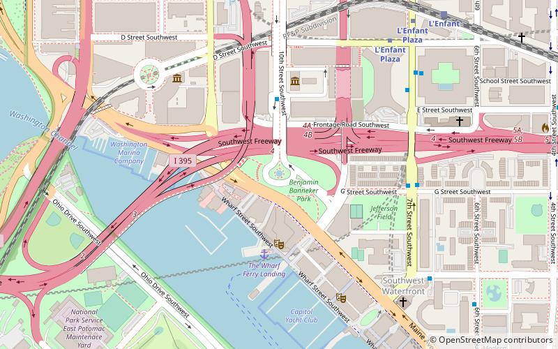
Banneker Circle
Banneker Circle is a partial traffic circle in Southwest Washington, D.C. The name of the circle commemorates Benjamin Banneker, an African American astronomer and almanac author. In 1791, Banneker assisted in the initial survey of the boundaries of the District of Columbia.
14th Street
14th Street NW/SW is a street in Northwest and Southwest quadrants of Washington, D.C. located 1.25 miles west of the U.S. Capitol. It runs from the 14th Street Bridge north to Eastern Avenue.
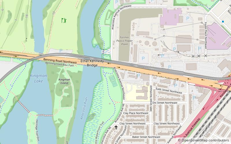
Benning Road
Benning Road is a major traveled street in Washington, D.C. and Prince George's County, Maryland. The street's western terminus is at the "Starburst intersection" in the northeast quadrant of the city at Bladensburg Road, Florida Avenue, Maryland Avenue, H Street and 15th Street.
West Executive Avenue
West Executive Avenue Northwest is a closed street in Washington, D.C. that, as of 2017, functions as a parking lot for persons employed by the Executive Office of the President. It runs adjacent to the White House.
Florida Avenue
Florida Avenue is a major street in Washington, D.C. It was originally named Boundary Street, because it formed the northern boundary of the Federal City under the 1791 L'Enfant Plan. With the growth of the city beyond its original borders, Boundary Street was renamed Florida Avenue in 1890.
Virginia Avenue
Virginia Avenue is a street in the Northwest, Southwest, and Southeast quadrants of Washington, D.C. Like other state-named streets in Washington, it diagonally crosses the grid pattern formed by lettered and numbered streets.
Columbia Road
Columbia Road is a street in Washington, D.C. that forks from Connecticut Avenue north of Dupont Circle, and branches north and east through 16th Street to the McMillan Reservoir.
Observatory Circle
Observatory Circle is a street in Washington, D.C. It runs from Calvert Street to Massachusetts Avenue near 34th Street. Established in 1894, the street follows an incomplete loop, forming an arc rather than a circle. Number One Observatory Circle is the official residence of the Vice President of the United States.
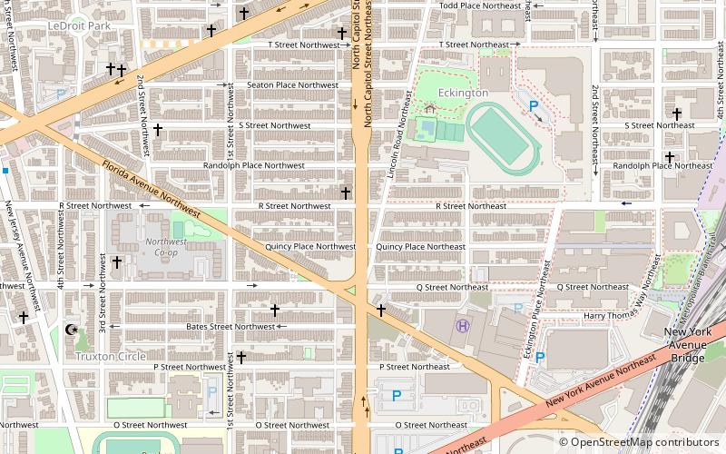
North Capitol Street
North Capitol Street is a street in Washington, D.C. that separates the Northwest and Northeast quadrants of the city.
Starburst Intersection
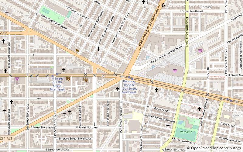
The Starburst Intersection refers to the intersection of six streets in northeast Washington, D.C.: Bladensburg Road NE part of U.S. Route 1 Alternate, Benning Road NE, 15th Street NE, Maryland Avenue NE, and H Street NE intersect directly, and to the immediate northwest of this intersection is the easternmost point of Florida Avenue.
Klingle Road
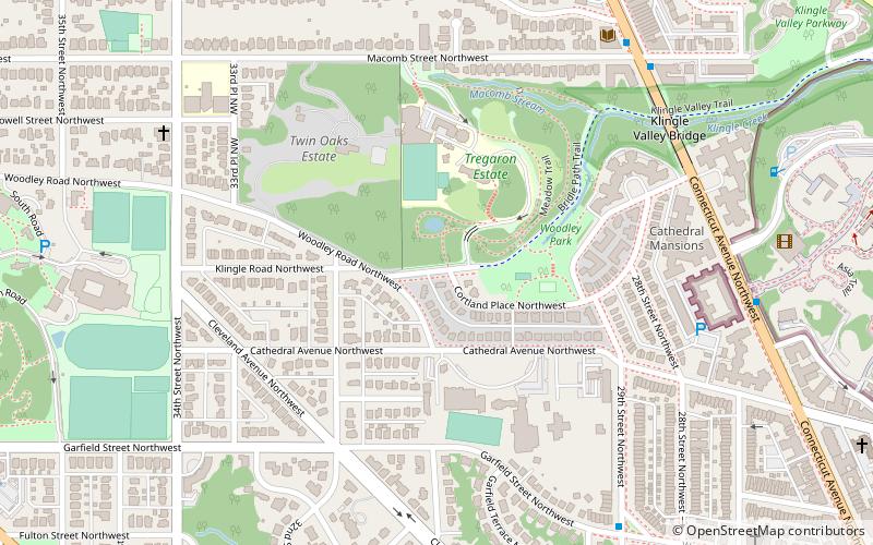
Klingle Road is a street in the northwest quadrant of Washington, D.C. In 1990, erosion led to the closure of a 0.75-mile section of the road between Cortland Place and Porter Street.
South Capitol Street
South Capitol Street is a major street dividing the southeast and southwest quadrants of Washington, D.C. in the United States. It runs south from the United States Capitol to the D.C.–Maryland line, intersecting with Southern Avenue.
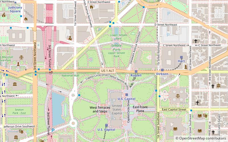
Map

