Washington D.C.: Neighbourhood
Places and attractions in the Neighbourhood category
Categories
- Museum
- Park
- Monuments and statues
- Church
- History museum
- Memorial
- Library
- Gothic Revival architecture
- Bridge
- Neighbourhood
- Street
- Art museum
- Historical place
- Specialty museum
- Theater
- Shopping
- Concerts and shows
- Neoclassical architecture
- Nightlife
- Greek Revival architecture
- Beaux-Arts architecture
- Cemetery
- Vernacular architecture
- Romanesque architecture
- Colonial revival architecture
- Art gallery
- Dancing
- Sculpture
- Georgian architecture
- Architecture
- Victorian architecture
- Sport
- Sport venue
- Garden
- Romanesque revival architecture
- Italianate architecture
- Sacred and religious sites
- Neo-renaissance architecture
- Palladian architecture
- Synagogue
- Arenas and stadiums
- Modernist architecture
- Queen Anne architecture
- Memorial site
- View point
- Restaurant
- Military museum
- Waterfront
- Lake
- Reportedly haunted
- Modern art museum
- Shopping centre
- Art Deco architecture
- Universities and schools
- Natural attraction
- Cinema
- Area
- Tower
- Market
- Interesting neighbourhood
- Tudor Revival architecture
- Sailing
Northwest
Northwest is the northwestern quadrant of Washington, D.C. the capital of the United States, and is located north of the National Mall and west of North Capitol Street.
Near Northeast
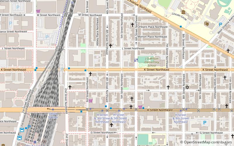
Near Northeast is a neighborhood in Northeast Washington, D.C. It is bounded by North Capitol Street to the west, Florida Avenue to the north, F Street to the south, and 15th Street to the east.
Federal Triangle
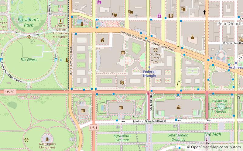
The Federal Triangle is a triangular area in Washington, D.C. formed by 15th Street NW, Constitution Avenue NW, Pennsylvania Avenue NW, and E Street NW.
Dupont Circle
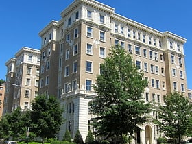
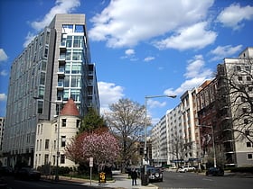
The Dupont Circle Building is a landmark building on the south end of Dupont Circle in Washington DC. The entrance is on 1350 Connecticut Avenue NW. It was designed in the art deco style by architect Mihran Mesrobian, originally as an apartment building. In 1942 it was converted to offices.
Southeast
Southeast is the southeastern quadrant of Washington, D.C. the capital of the United States, and is located south of East Capitol Street and east of South Capitol Street.
Georgetown Market
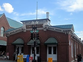
The Georgetown Market is an historic building constructed in 1865, on the site of a market dating to 1795. It is located at 3276 M Street, Northwest, Washington, D.C. in the Georgetown neighborhood.
Southwest Federal Center
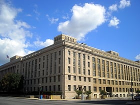
Southwest Federal Center is a business district in Southwest Washington, D.C. nearly entirely occupied by offices for various branches of the U.S. Government, including many of the museums of the Smithsonian Institution.
Gallaudet College Historic District
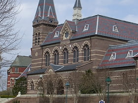
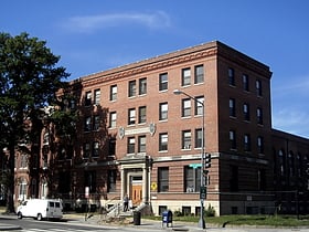
The Gallaudet College Historic District is a National Historic Landmark District encompassing the historic early campus of Gallaudet University in Washington, D.C.
Capitol Hill
Capitol Hill, in addition to being a metonym for the United States Congress, is the largest historic residential neighborhood in Washington, D.C. stretching easterly in front of the United States Capitol along wide avenues.
Mount Vernon Square
Mount Vernon Square is a city square and neighborhood in the Northwest quadrant of Washington, D.C. The square is located where the following streets would otherwise intersect: Massachusetts Avenue NW, New York Avenue NW, K Street NW, and 8th Street NW.
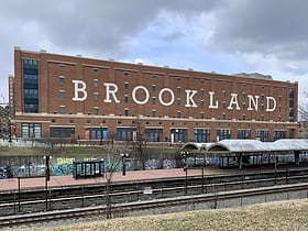
Brookland
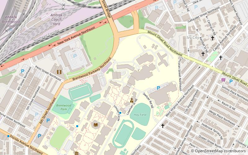
Brookland is a neighborhood located in the Northeast quadrant of Washington, D.C. It is best known for its numerous Catholic institutions, including schools, religious communities, shrines, institutes, and other organizations built and based around the Catholic University of America.
Massachusetts Heights
Massachusetts Heights is a small neighborhood in Northwest Washington, DC, dominated by the grounds of the Washington National Cathedral.
Penn Quarter
Penn Quarter is a neighborhood east of Downtown Washington, D.C. and north of Pennsylvania Avenue, NW.
Woodley Park
Woodley Park is a neighborhood in Northwest, Washington, DC. It is bounded on the north by Woodley Road and Klingle Road, on the east by the National Zoo and Rock Creek Park, on the south by Calvert Street, on the southwest by Cleveland Avenue, and on the west by 34th Street.
Dupont Circle
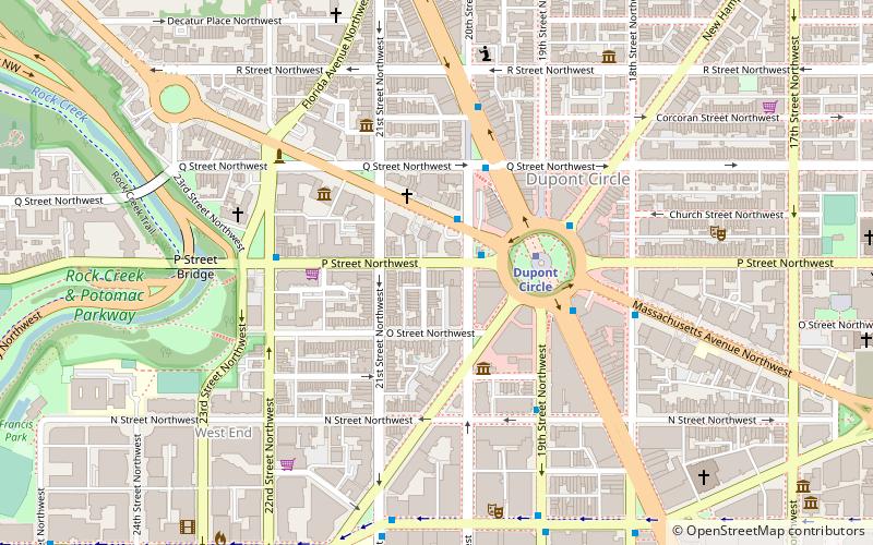
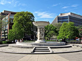
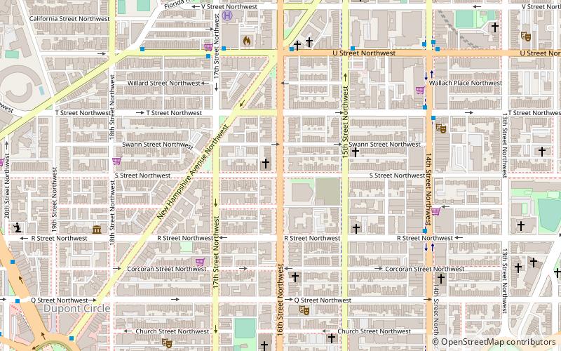
Dupont Circle is a traffic circle, park, neighborhood, and historic district in Northwest Washington, D.C. The Dupont Circle neighborhood is bounded approximately by 16th Street NW to the east, 22nd Street NW to the west, M Street NW to the south, and Florida Avenue NW to the north.
NoMa
"NoMa" is a moniker for the area North of Massachusetts Avenue located north and east of Union Station in Washington, D.C. United States. NoMa includes the neighborhoods of Sursum Corda, Eckington, and Near Northeast and includes a section historically known as Swampoodle.
Georgetown
Georgetown is a historic neighborhood and commercial and entertainment district located in Northwest Washington, D.C. situated along the Potomac River.
Golden Triangle
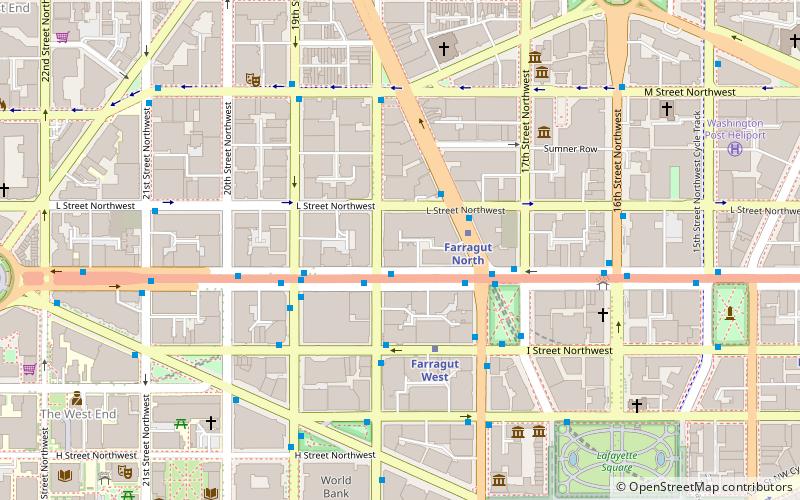
The Golden Triangle is a neighborhood and business improvement district in Washington, D.C.
Foggy Bottom
Foggy Bottom is one of the oldest late 18th- and 19th-century neighborhoods in Washington, D.C. located west of the White House and downtown Washington, in the Northwest quadrant.
Downtown
Downtown is a neighborhood of Washington, D.C. as well as a colloquial name for the central business district in the northwest quadrant of the city. It is the fourth largest central business district in the United States.
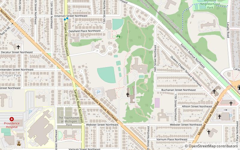
North Michigan Park
North Michigan Park is a neighborhood located in Ward 5 of Northeast Washington, D.C. North Michigan Park is contained between Eastern Avenue N.E. to the east, Gallatin Street N.E. to the north, Michigan Avenue N.E. to the south, and South Dakota Avenue N.E. to the west.
Kalorama
Kalorama is a neighborhood in Northwest Washington, D.C. United States. It includes the Kalorama Triangle Historic District and Sheridan-Kalorama Historic District. It is named after the Kalorama mansion.
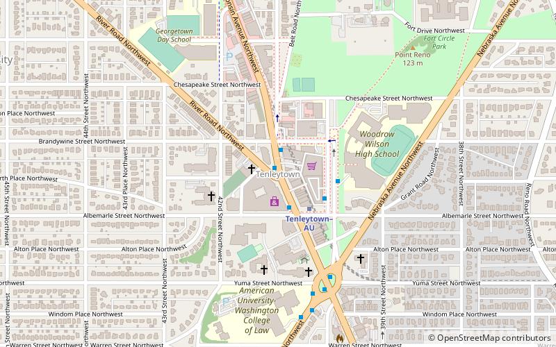
North Cleveland Park
North Cleveland Park is a neighborhood in the Northwest quadrant of Washington, D.C. It is bounded by Albemarle Street NW to the north, Rodman and Quebec Streets NW to the south, Wisconsin and Nebraska Avenues NW to the west, and Connecticut Avenue to the east.
Judiciary Square
Judiciary Square is a neighborhood in Northwest Washington, D.C. the vast majority of which is occupied by various federal and municipal courthouses and office buildings.
Logan Circle
Logan Circle is a traffic circle park, neighborhood, and historic district in the Northwest quadrant of Washington, D.C. The primarily residential neighborhood includes two historic districts, properties listed on the National Register of Historic Places, and sites designated D.C.
Southwest Waterfront
The Southwest Waterfront is a mostly residential neighborhood in Southwest Washington, D.C.
Kalorama Triangle Historic District
The Kalorama Triangle Historic District is located in the Kalorama Heights neighborhood of Washington, D.C. It was listed on the National Register of Historic Places in 2004.
Cleveland Park
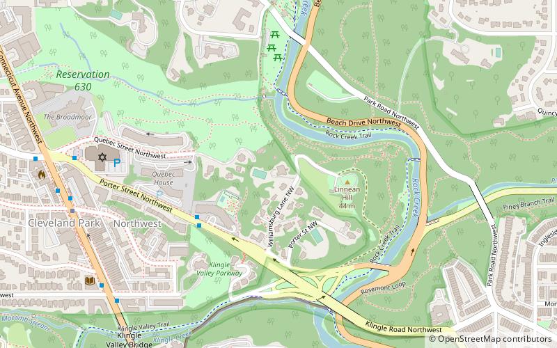
Cleveland Park is a residential neighborhood in the Northwest quadrant of Washington, D.C. It is located at 38°56′11″N 77°3′58″W and bounded approximately by Rock Creek Park to the east, Wisconsin and Idaho Avenues to the west, Klingle and Woodley Roads to the south, and Rodman and Tilden Streets to the north.
Mount Pleasant
Mount Pleasant is a neighborhood in the northwestern quadrant of Washington, D.C. It is bounded by Rock Creek Park to the north and west; Harvard Street NW to the south; and 16th Street NW to the east.
Sixteenth Street Heights
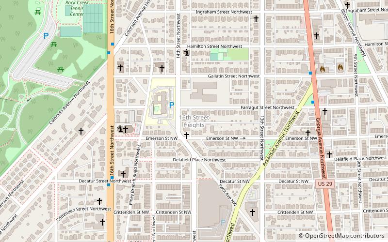
Sixteenth Street Heights is a large neighborhood of rowhouses, duplexes, and American Craftsman and American Foursquare detached houses in Northwest Washington, D.C..
Sixteenth Street Historic District
The Sixteenth Street Historic District is a 1.25 mile linear historic district in Washington, D.C. that includes all structures along 16th Street NW between H Street and Florida Avenue. The district's southern boundary is bordered by Lafayette Square, just north of the White House, and Meridian Hill Park on its northern boundary.
Benning Ridge
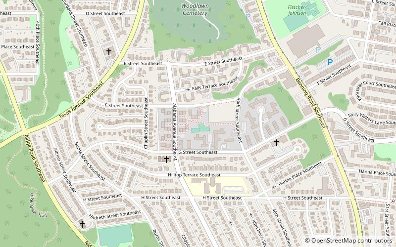
Benning Ridge is a residential neighborhood located in Southeast Washington, D.C. It is bounded by Fort Chaplin Park to the northwest, Southern Avenue to the south, Benning Road to the east, and Ridge Road SE to the west.
Deanwood
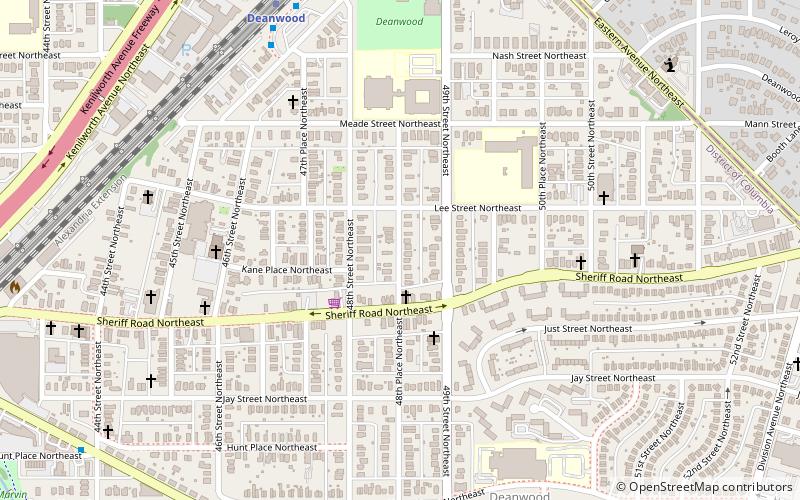
Deanwood is a neighborhood in Northeast Washington, D.C. bounded by Eastern Avenue to the northeast, Kenilworth Avenue to the northwest, Division Avenue to the southeast, and Nannie Helen Burroughs Avenue to the south.
Foxhall
Foxhall, also known as Foxhall Village, is a neighborhood in northwestern Washington, D.C. bordered by Reservoir Road on the north side, Foxhall Road on the west, Glover-Archbold Park on the east, and P Street NW on the south.
Columbia Heights
Columbia Heights is a neighborhood in Northwest Washington, D.C. United States. It has diverse demographics, the DC USA shopping mall and many restaurants, BloomBars, Meridian Hill/Malcolm X Park, Howard University, Banneker Recreation Center, and All Souls Church.
Ivy City
Ivy City is a small neighborhood in Northeast Washington, D.C. in the United States. About half the neighborhood is industrial or formerly industrial, dominated by warehouses.
Shaw
Shaw is a central neighborhood in the Northwest quadrant of Washington, D.C. Shaw and the U Street Corridor historically have been the city's black social, cultural, and economic hub, witness to Martin Luther King Jr.
West End
The West End is a neighborhood in the Northwest quadrant of Washington, D.C. bounded by K Street NW to the south, Rock Creek Park to the west and north, and New Hampshire Avenue NW and 23rd Street NW to the east.
Kingman Park
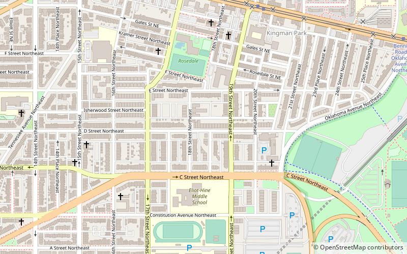
Kingman Park is a residential neighborhood in the Northeast quadrant of Washington, D.C. the capital city of the United States.
Truxton Circle
Truxton Circle is a neighborhood of Northwest Washington, D.C. Politically, it is located in Ward 5. Truxton Circle is bordered by New Jersey Avenue to the west; Florida Avenue to the north; New York Avenue to the south; and North Capitol Street to the east.
Southwest
Southwest is the southwestern quadrant of Washington, D.C. the capital of the United States, and is located south of the National Mall and west of South Capitol Street.
Brightwood Park
Brightwood Park is a small neighborhood in Northwest Washington, D.C. in the United States. The neighborhood is bounded by Georgia Avenue NW to the west, Missouri Avenue NW to the northeast and Kennedy Street NW to the south. It is located in Ward 4.
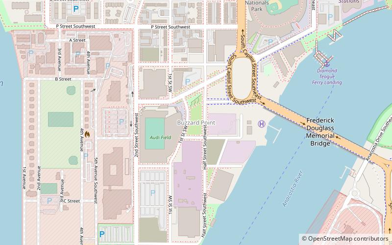
Buzzard Point
Buzzard Point is an urbanized area located on the peninsula formed by the confluence of the Potomac and Anacostia Rivers in the southwest quadrant of Washington, D.C. United States.
Burleith
Burleith is a neighborhood in Washington, D.C. United States. It is bordered by 35th Street NW to the east, Reservoir Road NW and the historic Georgetown district to the south, Whitehaven Park to the north, and Glover Archbold Park to the west.
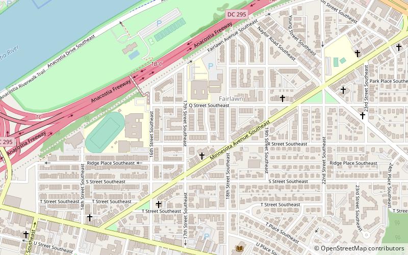
Map

