Ottawa: Neighbourhood
Places and attractions in the Neighbourhood category
Categories
- Church
- Park
- Museum
- Gothic Revival architecture
- Bridge
- Memorial
- Shopping
- Shopping centre
- Neighbourhood
- History museum
- Specialty museum
- Nightlife
- Historical place
- Art museum
- Outdoor activities
- Theater
- Sport
- Sport venue
- Monuments and statues
- Military museum
- Golf
- Natural attraction
- Sailing
- Art gallery
- Arenas and stadiums
- Universities and schools
- Concerts and shows
- Library
- Modernist architecture
- Ice rink
- Synagogue
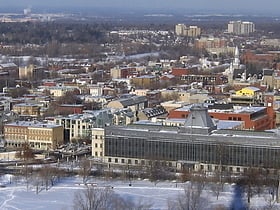
Lower Town
Lower Town is a neighbourhood in Rideau-Vanier Ward in central Ottawa, Ontario, Canada, to the east of downtown. It is the oldest part of the city.
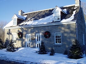
New Edinburgh
New Edinburgh is a neighbourhood in Rideau-Rockcliffe Ward, in Ottawa, Ontario, Canada. It is located to the northeast of the downtown core.
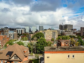
Centretown
Centretown is a neighbourhood in Somerset Ward, in central Ottawa, Ontario, Canada.
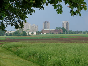
Rideau View
Rideau View is a sub-neighbourhood of Carleton Heights in River Ward, in the west-end of Ottawa, Ontario, Canada, located near the Rideau River. It is bordered by Meadowlands Drive to the south, Claymor Avenue to the west and Dynes Road to the north.
Vanier
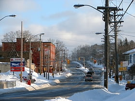
Vanier, formerly Eastview, is a neighbourhood in the Rideau-Vanier Ward of Ottawa, Ontario, Canada's east end. Historically francophone and working class, the neighbourhood was a separate city until being amalgamated into Ottawa in 2001.
The Glebe
The Glebe is a neighbourhood in Ottawa, Ontario, Canada. It is located just south of Ottawa's downtown area in the Capital Ward.
Downtown Ottawa
Downtown Ottawa is the central area of Ottawa, Ontario, Canada. It is sometimes referred to as the Central Business District and contains Ottawa's financial district. It is bordered by the Ottawa River to the north, the Rideau Canal to the east, Gloucester Street to the south and Bronson Avenue to the west.
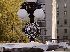
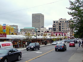
ByWard Market
The ByWard Market, is a retail and entertainment district in the downtown core of Ottawa, Ontario, Canada. It is located east of the government and business district.
Golden Triangle
The Golden Triangle is a sub-neighbourhood of Centretown in Somerset Ward in central Ottawa, Ontario, Canada. It borders Elgin Street, at its west, and the Rideau Canal, at its east.
Sandy Hill
Sandy Hill is a neighbourhood in Ottawa, Ontario, located just east of downtown. The neighbourhood is bordered on the west by the Rideau Canal, and on the east by the Rideau River.
Old Ottawa East
Old Ottawa East or just Ottawa East is a neighbourhood in Capital Ward in central Ottawa, Ontario, Canada. It is located south of Nicholas Street and between the Rideau Canal and the Rideau River, with Avenue Road marking the southern border.
Rockcliffe Park
Rockcliffe Park is a neighbourhood in Rideau-Rockcliffe Ward, close to the centre of Ottawa, Ontario, Canada. Established in 1864, organized as a Police village in 1908, and an independent village from 1926, and ultimately amalgamated with the rest of Ottawa on January 1, 2001.
Tunney's Pasture
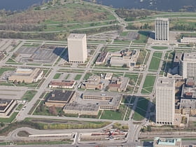
Tunney's Pasture is a 49-hectare campus in the Canadian capital of Ottawa, Ontario that is exclusively developed for federal government buildings. It is bordered by Scott Street to the south, Parkdale Avenue to the east, the Sir John A. Macdonald Parkway to the north, and the Champlain Park neighbourhood to the west.
Britannia
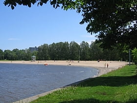
Britannia is a group of neighbourhoods in Bay Ward in the west end of Ottawa, Ontario, Canada. It is located on the Ottawa River across from Aylmer, Quebec, adjacent to its namesake, Britannia Bay, north of Richmond Road, west of the Sir John A. Macdonald Parkway and east of Boyce Avenue.
Carlington
Carlington is a neighbourhood located in River Ward in the west-end of Ottawa, Ontario, Canada. The community association boundaries are Clyde Avenue to the west, Carling Avenue and the Queensway to the north, Fisher Avenue to the east and the Central Experimental Farm Pathway to the south.
Barrhaven
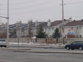
Barrhaven is a rapidly growing suburban neighbourhood in the southwest of the urban area of the city of Ottawa, Ontario, Canada, about 17 km southwest of downtown Ottawa. Prior to amalgamation with Ottawa in 2001, Barrhaven was part of the City of Nepean. Its population as of the Canada 2021 Census was 103,234.
Mechanicsville
Mechanicsville is a neighbourhood in Kitchissippi Ward in central Ottawa, Ontario, Canada. It is located to the west of downtown and bordered by the Ottawa River to the north, the O-Train Trillium Line to the east, Scott Street to the south, and Parkdale Avenue to the west.
Confederation Heights
Confederation Heights is an area in south Ottawa, Canada, made up of mostly government buildings. It is bounded on the east by Data Centre Road, on the north and west by the Rideau River and on the south by Brookfield Road.
Heron Gate
Heron Gate or Herongate is a neighbourhood in Alta Vista Ward and Gloucester-Southgate Ward in the south end of Ottawa, Ontario, Canada.
Elmvale Acres
Elmvale Acres is a neighbourhood in south Ottawa, Ontario, Canada, located in Alta Vista Ward. It was built in the late 1950s by the contractor and property developer, Robert Campeau, with construction beginning in 1955.
Cyrville
Cyrville is a neighbourhood in Beacon Hill-Cyrville Ward in the east-end of Ottawa, Ontario, Canada. The area is located within the former City of Gloucester, and is roughly bounded on the north, west and south by the former Gloucester City limit, and on the east by the Aviation Parkway and Highway 417.
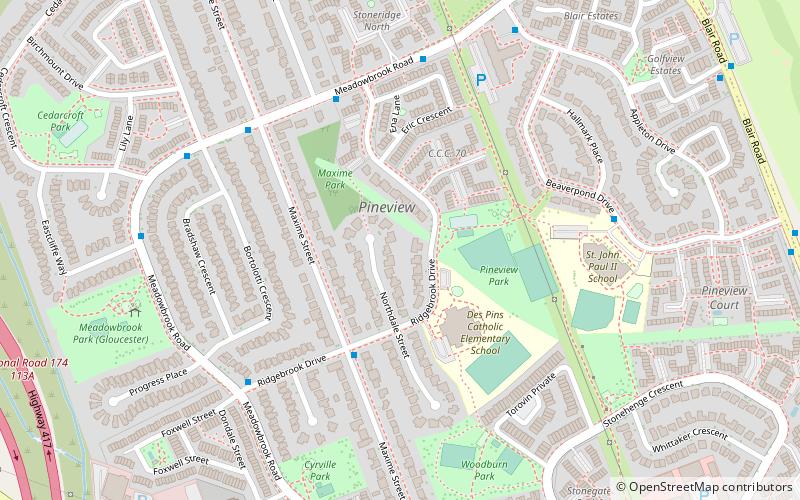
Pineview
Pineview is a neighbourhood in Beacon Hill-Cyrville Ward in the east end of Ottawa, Ontario, Canada. Prior to amalgamation in 2001, the neighbourhood was part of the City of Gloucester.
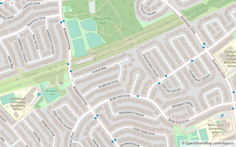
Bridlewood
Bridlewood is a neighbourhood in Kanata South Ward in the western part of Ottawa, Ontario, Canada. Bridlewood was part of the Township of Nepean until 1978, and then part of the City of Kanata until 2001, when that city amalgamated with the City of Ottawa.
Ellwood
Ellwood is a neighbourhood and former railway point in River Ward, in the south end of Ottawa, Ontario, Canada. It is bounded by Walkley Road on the north, the Transitway on the west, Albion Road on the east, and Ledbury Park on the south. The population of this area is approximately 2908.
Foster Farm
Foster Farm, nicknamed "the Farm", is a neighbourhood in the Britannia area of Bay Ward in the west end of Ottawa, Ontario, Canada.
Fisher Heights
Fisher Heights is a neighbourhood located in the far northeast corner of the former City of Nepean in Ottawa, Ontario, Canada. It is located in Knoxdale-Merivale Ward.
Carson Grove
Carson Grove is a neighbourhood in the east end of Ottawa, Ontario, Canada. The neighbourhood spans the former Ottawa-Gloucester boundary, which still forms the boundary between Rideau-Rockcliffe Ward and Beacon Hill-Cyrville Ward.
McKellar Heights
McKellar Heights is a small neighbourhood located in Kitchissippi Ward, in the west end of Ottawa, Ontario, Canada. The neighbourhood is generally triangular in shape, and is generally bounded on the north by Westboro, on the west by Glabar Park, and on the south by Carlington.
Carlingwood
Carlingwood is a neighbourhood in Bay Ward in the west end of Ottawa, Ontario, Canada. The neighbourhood is roughly bounded on the north by Richmond Road, on the east by Sherbourne Road, on the south by Carling Avenue and on the west by Woodroffe Avenue.
Braemar Park
Braemar Park is a neighbourhood in College Ward in the west end of Ottawa, Ontario, Canada. It is bounded on the north by the Queensway, east on Maitland Drive, south by the Central Experimental Pathway and west by J. H. Putman Public School.
Kenson Park
Kenson Park is a neighbourhood located in College Ward in the west end of Ottawa, Ontario, Canada. It's bounded to the east by Woodroffe Avenue, to the north highway 417, to the south Baseline Road, and to the west "past Adirondack Drive".
Bel-Air Park
Bel-Air Park is a neighbourhood in College Ward in the west end of Ottawa, Ontario, Canada. It is bounded on the east by the Experimental Farm Pathway, on the south by Baseline Road, on the west by Woodroffe Avenue and on the north by the Queensway.
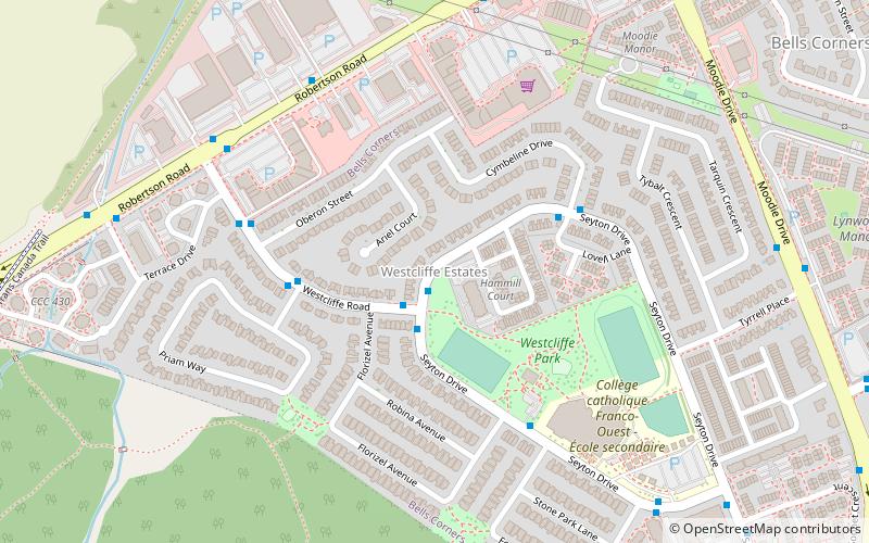
Westcliffe Estates
Westcliffe Estates, is a neighbourhood of Bells Corners in College Ward, in the west end of Ottawa, Ontario, Canada. Founded in 1969, most of the older homes in this area were built by Assaly Construction and later the Thomas C. Assaly Corporation.
Queensway Terrace North
Queensway Terrace North is a neighbourhood in Bay Ward in the west end of Ottawa, Ontario, Canada. Its neighbourhood association is bounded to the north by Carling Avenue, to the west by Pinecrest Road, to the south by the Queensway, and to the east by the Transitway.
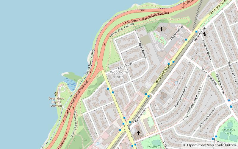
Woodroffe North
Woodroffe North is a neighbourhood in Bay Ward in the west end of Ottawa, Ontario, Canada. It is bounded on the south by Richmond Road on the west by the Sir John A.
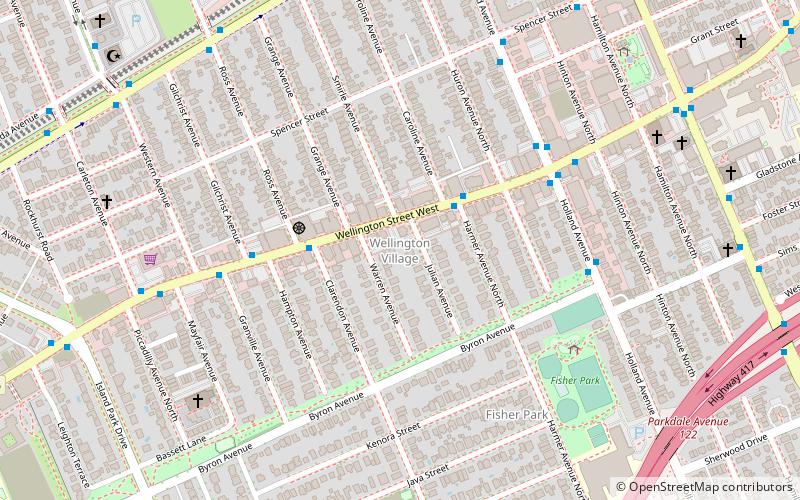
Wellington Village
Wellington Village is a neighbourhood in Kitchissippi Ward in the west end of Ottawa, Ontario, Canada. It is bounded on the north by Scott Street, on the west by Island Park Drive, on the south by The Queensway and on the east by Holland Avenue.
Hintonburg
Hintonburg is a neighbourhood in Kitchissippi Ward in Ottawa, Ontario, Canada, located west of the Downtown core. It is a historically working-class, predominantly residential neighbourhood, with a commercial strip located along Wellington Street West.
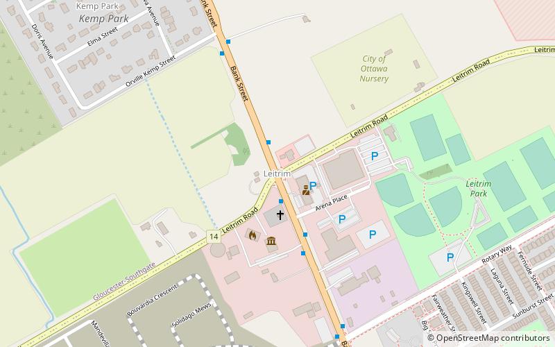
Leitrim
Leitrim is a dispersed rural community in the South Gloucester section of Ottawa, Ontario, Canada, and is named for the Irish County Leitrim. The area comprises the rapidly growing Findlay Creek suburban neighbourhood.
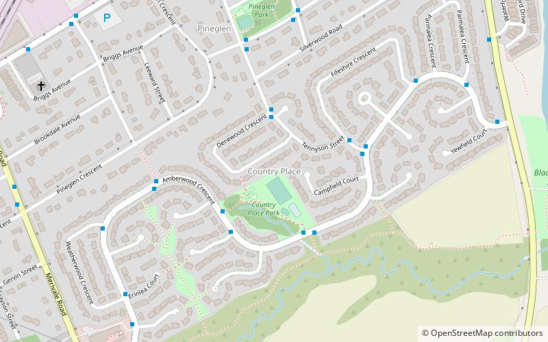
Country Place
Country Place is a residential neighbourhood near the geographical centre of Ottawa, Canada in Knoxdale-Merivale Ward. Prior to 2001, it was part of the former city of Nepean.
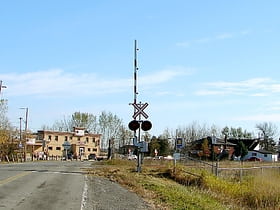
Carlsbad Springs
Carlsbad Springs is a rural community on Bear Brook in Cumberland Ward in Ottawa, Ontario, Canada; Prior to amalgamation in 2001, the community was on the border between Gloucester and Cumberland.
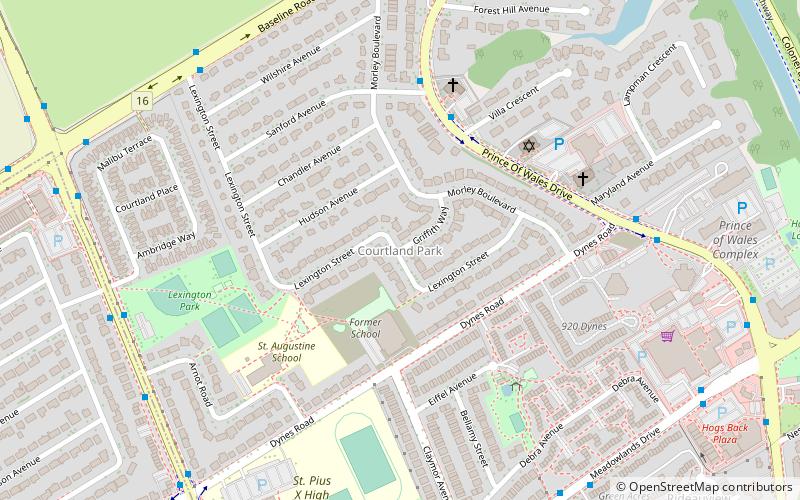
Courtland Park
Courtland Park is a sub-neighbourhood of Carleton Heights in River Ward in the west end of Ottawa, Ontario, Canada. It is bounded on the north by Baseline Road, on the east by the Rideau River, on the south by Dynes Road and on the west by Fisher Avenue.
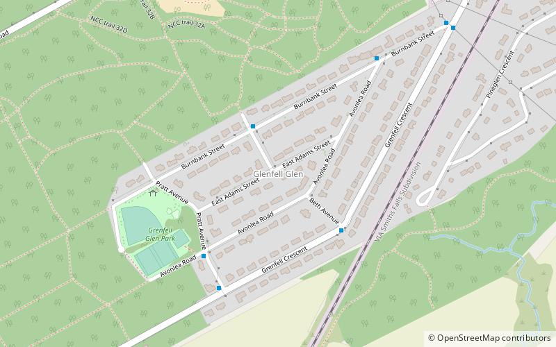
Grenfell Glen
Grenfell Glen is a small neighbourhood in Knoxdale-Merivale Ward in the city of Ottawa in Ontario, Canada.
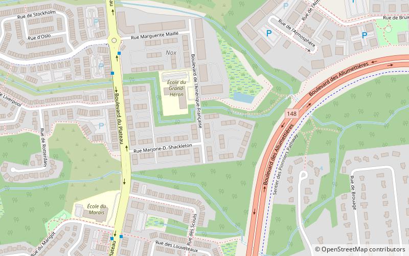
Hull—Aylmer
Hull—Aylmer is a federal electoral district in Quebec, Canada, that has been represented in the House of Commons of Canada since 1917. It was created as "Hull" in 1914 from parts of Labelle and Wright ridings. It was renamed "Hull—Aylmer" in 1984.
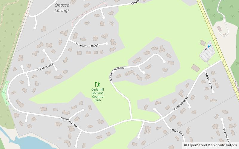
Cedarhill Estate
Cedarhill Estates is an neighbourhood located in Barrhaven Ward in the west end of Ottawa. Prior to amalgamation in 2001, it was located in Nepean.
Civic Hospital
Civic Hospital is a neighbourhood in Kitchissippi Ward in central Ottawa, Canada. It is named after the Ottawa Civic Hospital, which is located in the neighbourhood. Civic Hospital is bounded on the west by Island Park Drive, on the north by the Queensway, on the east by Railway Street and on the south by Carling Avenue.
Map

