Amsterdam: Neighbourhood
Places and attractions in the Neighbourhood category
Categories
- Museum
- Canal
- Specialty museum
- History museum
- Historical place
- Art museum
- Street
- Shopping
- Neighbourhood
- Church
- Concerts and shows
- Baroque architecture
- Theater
- Park
- Nightlife
- Architecture
- Square
- Art gallery
- Bridge
- Concert hall
- Sacred and religious sites
- Hendrick de Keyser
- Monuments and statues
- Outdoor activities
- Music venue
- Library
- Windmill
- Rembrandt
- Event space
- Memorial
- Shopping district
- Cinema
- Sport
- Sport venue
- Convention center
- Science museum
- Music and shows
- Tours
- Market
- Bars and clubs
- Shopping centre
- Arenas and stadiums
- Garden
- Performing arts
- Area
- Marina
- Sailing
- Island
Nieuwmarkt
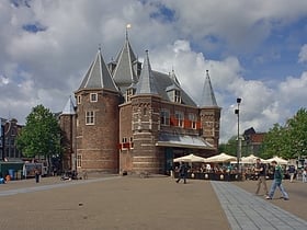
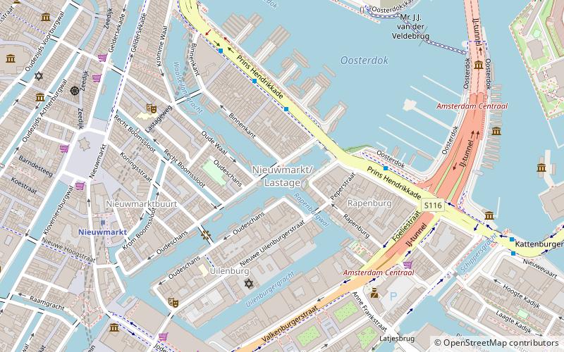
Nieuwmarkt is a square in the centre of Amsterdam, Netherlands. The surrounding area is known as the Lastage neighborhood. It is situated in the borough of Amsterdam-Centrum. The square is considered part of Amsterdam's Chinatown, next to the De Wallen. There are over 20 cafés and coffeeshops facing the square.
Lastage
Lastage is a neighborhood in the Centrum borough of Amsterdam, Netherlands. It is located between the Geldersekade and Oudeschans canals, just east of old medieval city.
Amsterdam-Zuid
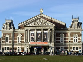
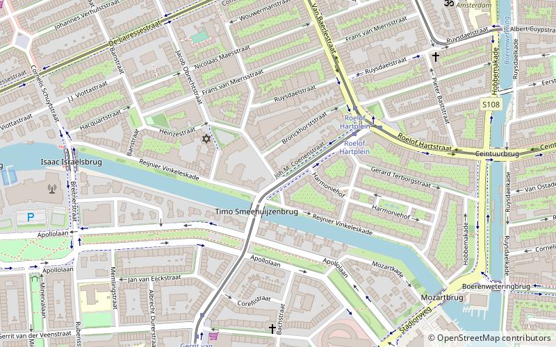
Amsterdam-Zuid is a borough of Amsterdam, Netherlands. The borough was formed in 2010 as a merger of the former boroughs Oud-Zuid and Zuideramstel. The borough has almost 138,000 inhabitants. With 8,500 homes per square kilometer, it is one of the most densely populated boroughs of Amsterdam.
Amsterdam Oud-Zuid
Oud-Zuid is the name of a neighbourhood and of a former borough of Amsterdam.
Amsterdam-Centrum
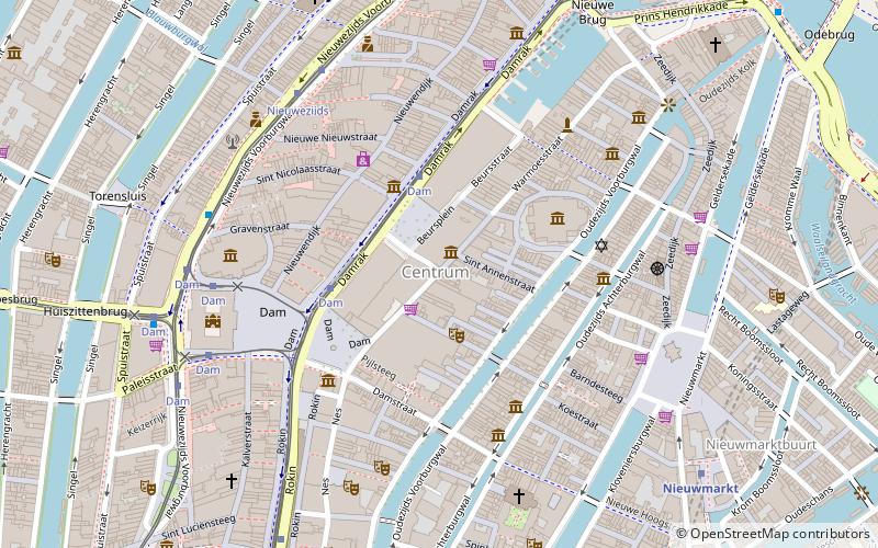
Amsterdam-Centrum is the inner-most borough and historical city centre of Amsterdam, Netherlands containing the majority of the city's landmarks.
Binnenstad
Binnenstad is a neighborhood of Amsterdam, Netherlands located in the Centrum borough. It is divided between the Burgwallen Oude Zijde and Burgwallen Nieuwe Zijde areas.
Plantage
Plantage is a neighbourhood of Amsterdam, Netherlands located in its Centrum borough. It is bordered by the Entrepotdok to the north, Plantage Muidergracht to the east and south and Nieuwe Herengracht to the west. In the centre of the neighbourhood lies the Natura Artis Magistra zoo. It had a population of 1,980 in 2017.
Amsterdam-Oost
Amsterdam-Oost is a borough of Amsterdam, Netherlands, established in May 2010 after a merger of the former boroughs of Zeeburg and Oost-Watergraafsmeer. In 2013, the borough had almost 123,000 inhabitants.
Burgwallen Oude Zijde
Burgwallen Oude Zijde is a neighborhood of Amsterdam, Netherlands.
Westelijke Tuinsteden
Westelijke Tuinsteden is a neighborhood of Amsterdam, Netherlands. It consists of six neighbourhoods with their own spatial and functional structure: Bos en Lommer, Slotermeer, Geuzenveld, Slotervaart, Overtoomseveld and Osdorp. Since 2010 these districts, with the exception of Bos en Lommer, form part of the Nieuw-West borough.
Westerpark
Westerpark is a former borough just northwest of the centre of the city of Amsterdam, Netherlands. As a borough it existed from 1990 till 2010, when it merged with the boroughs Oud-West, Bos en Lommer and De Baarsjes to form the new borough Amsterdam-West.
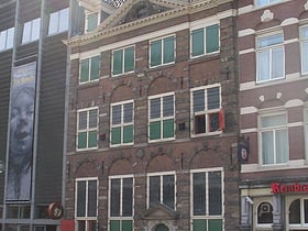
Jodenbreestraat
The Jodenbreestraat is a street in the centre of Amsterdam, which connects the Sint Antoniesluis sluice gates to the Mr. Visserplein traffic circle. North of the sluice gates, the street continues on to Nieuwmarkt square as the Sint Antoniesbreestraat. The Mozes en Aäronkerk church stands at the southern end of the street.
De Pijp
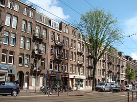
De Pijp is a neighbourhood of Amsterdam, Netherlands. It is located directly south of Amsterdam's city centre and it is part of the borough Amsterdam-Zuid, in a part of the city known as the Old South. It is served by De Pijp metro station.
Oude Pijp
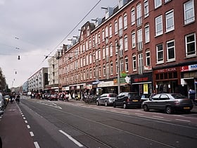
Oude Pijp, also known as Noord-Pijp is a neighbourhood of Amsterdam, Netherlands located in an urbanised part of the Zuid borough. It had a population of 14,102 in 2011 and an area of 68 hectares. Together with Nieuwe Pijp, Oude Pijp forms De Pijp.
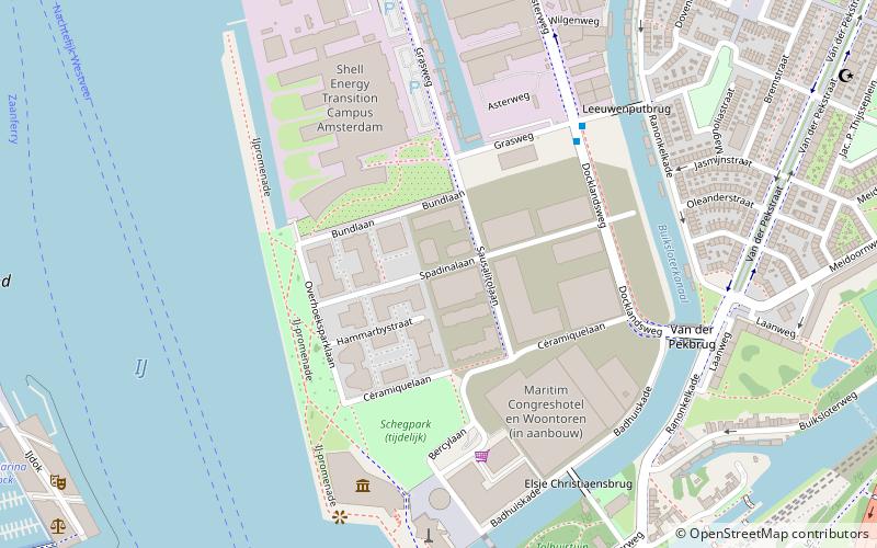
Overhoeks
Overhoeks is a new mixed-use neighbourhood of Amsterdam, Netherlands in the borough of Amsterdam-Noord directly across the IJ river from the city's central station. It is located on the former Royal Dutch Shell Research facility grounds.
Frederik Hendrikbuurt
Frederik Hendrikbuurt is a neighbourhood in the West district of Amsterdam, Netherlands and is situated between the canals Singelgracht and Kostverlorenvaart.
Burgwallen Nieuwe Zijde
Burgwallen Nieuwe Zijde is a neighborhood of Amsterdam, Netherlands.
Cruquiuseiland
Cruquiuseiland is a suburb the Eastern Docklands in the Zeeburg district of Amsterdam. The majority of the area is the man-made Cruquius Island itself, although some adjacent land is also part of the area.
Jordaan
Hip eateries and Noordermarkt shopping The Jordaan is a neighbourhood of the city of Amsterdam, Netherlands. It is part of the borough of Amsterdam-Centrum. The area is bordered by the Singelgracht canal and the neighbourhood of Frederik Hendrikbuurt to the west; the Prinsengracht to the east; the Brouwersgracht to the north and the Leidsegracht to the south.
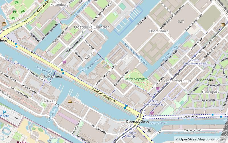
Oostelijke Eilanden
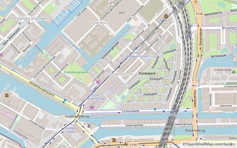
Oostelijke Eilanden, also known as Oostelijke Eilanden en Kadijken, is a neighbourhood in the centre of Amsterdam, Netherlands, consisting of Kattenburg, Wittenburg and Oostenburg.
Amsterdam-Zuidoost
Amsterdam-Zuidoost is a borough of Amsterdam, Netherlands. It consists of four residential neighborhoods—Bijlmermeer, Venserpolder, Gaasperdam and Driemond—as well as the Amstel III/Bullewijk Business Park and the Amsterdam Arena entertainment and shopping district.
Oosterdokseiland
Oosterdokseiland is an island that forms a neighborhood of Amsterdam, Netherlands just to the east of Amsterdam Centraal railway station.
Eastern Docklands
The Eastern Docklands is a neighborhood of Amsterdam, Netherlands, located between the IJ and the Amsterdam–Rhine Canal in the borough of Amsterdam-Oost.
Uilenburg
Uilenburg is a neighborhood of Amsterdam, Netherlands. Uilenburg is an island surrounded by the Oudeschans canal to the northwest, the Houtkopersburgwal canal to the southwest, the Uilenburgergracht to the southeast and the Rapenburgwal to the northeast.
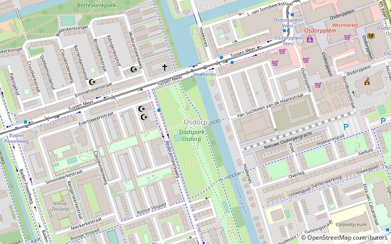
Osdorp
Osdorp is neighbourhood of Amsterdam, Netherlands. A larger area was, from 1981 until 2010, a stadsdeel of Amsterdam and in 2010 was merged into the new borough of Amsterdam Nieuw-West.
Diamantbuurt
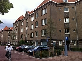
The Diamantbuurt is a neighborhood of Amsterdam, The Netherlands. It was built in the 1930s. It has streets named after precious stones: Diamantstraat, Robijnstraat, Saffierstraat, Smaragdstraat, Topaasstraat and Granaatstraat.
Haarlemmerbuurt
Haarlemmerbuurt is a neighbourhood in Amsterdam, in the Dutch province of North Holland, and is part of the borough Centrum. The central artery of the area is formed by the streets Haarlemmerdijk and Haarlemmerstraat, the old road to Haarlem.
Amsterdam Nieuw-West
Amsterdam Nieuw-West is a borough comprising the westernmost neighbourhoods of the city of Amsterdam, Netherlands. It was created in 2010 after a merger of the former boroughs Osdorp, Geuzenveld-Slotermeer and Slotervaart. In 2017, the borough had almost 150,000 inhabitants.
Amsterdam-West
Amsterdam-West is a borough of Amsterdam, Netherlands, to the west of the centre of the city. This borough was formed in 2010 through the merging of four former boroughs Oud West, Westerpark, De Baarsjes and Bos en Lommer.
Zuidas
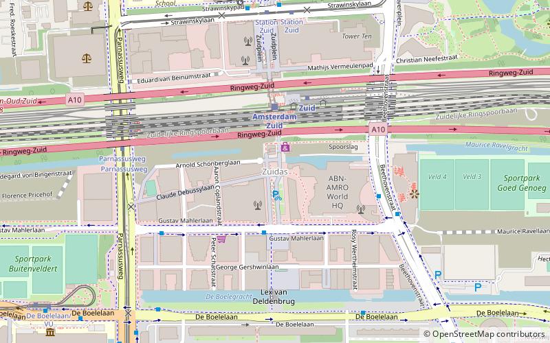
The Zuidas is a rapidly developing business district in the city of Amsterdam in the Netherlands. The Zuidas is also known as the 'Financial Mile'. It lies between the rivers Amstel and Schinkel along the ringway A10. The greatest influences for the development of the Zuidas are La Défense in Paris and Canary Wharf in London.
Rivierenbuurt
Rivierenbuurt is a neighbourhood of Amsterdam, Netherlands. The neighbourhood is situated in the eastern part of the borough of Amsterdam-Zuid, bordered by the river Amstel to the east, the Boerenwetering canal in the west, the Amstelkanaal in the north and the A10 motorway in the south.
Slotervaart
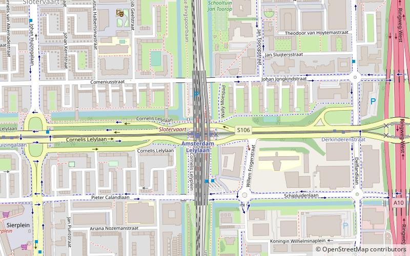
Slotervaart is a neighborhood in the far western part of Amsterdam, Netherlands. The area is named after the canal Slotervaart; the first houses were built in 1955.
Bos en Lommer
Bos en Lommer is a neighborhood of Amsterdam, Netherlands. From 1990 to 2010 it was considered a district of the municipality of Amsterdam in the province of North Holland. As of May 1, 2010, it was merged into the new Amsterdam-West borough. Geographically the district lies west of the historical city center of Amsterdam.
Negen Straatjes
De Negen Straatjes is a neighbourhood of Amsterdam, Netherlands located in the Grachtengordel, a UNESCO World Heritage Site.
Betondorp
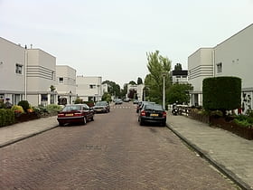
Betondorp is a neighbourhood of Amsterdam, Netherlands. It was built in the 1920s as an experiment in building affordable housing with new, cheap building materials, chiefly concrete. The houses are built in a sober, minimalist form of Art Deco. Betondorp is located in the Watergraafsmeer neighbourhood.
Amsterdam Oud-West
Oud-West is a neighborhood of Amsterdam, Netherlands, roughly covering the area between the Overtoom, a major thoroughfare west of the city centre, and the parallel De Clercqstraat, a shopping street.
Kinkerbuurt
Kinkerbuurt is the neighborhood in Amsterdam, Netherlands. Along with the Overtoombuurt, it is part of the neighborhood of Oud-West in the borough of Amsterdam-West. It was built at the beginning of the twentieth century when Amsterdam was being expanded.
Watergraafsmeer
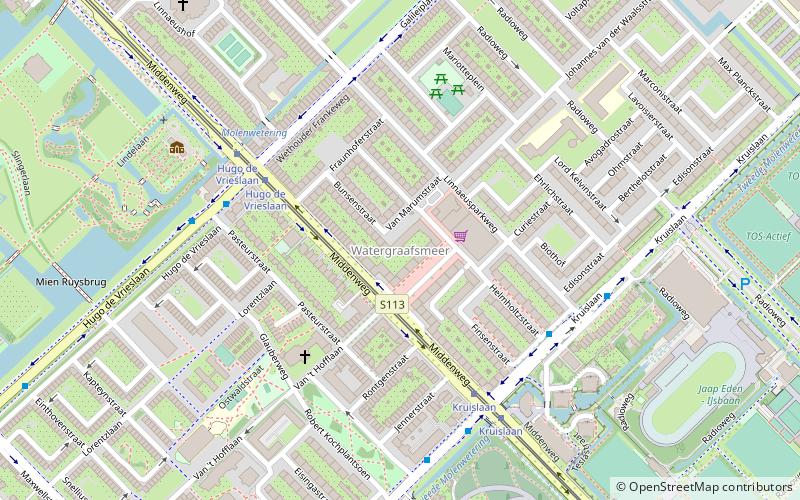
The Watergraafsmeer is a polder in the Netherlands. It was reclaimed in 1629. In the 17th and 18th centuries, there were many buitenplaatsen in the Watergraafsmeer, though nowadays only one, Frankendael, remains.
Overtoomse Veld
Overtoomse Veld is a neighborhood of Amsterdam, Netherlands. It is named for the Overtoomse Sluis, which was an old portage point dating from the 14th century on a major cargo route to and from Amsterdam at the junction of two waterschap areas, Hoogheemraadschap van Rijnland and Hoogheemraadschap van Amstelland.
Slotermeer
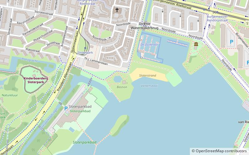
Slotermeer is a neighborhood of Amsterdam, Netherlands. It is divided in Slotermeer Northeast and Slotermeer Southwest. The center of Slotermeer is located in the area surrounding Plein '40-'45.
Amsterdam-Noord
Amsterdam-Noord is a borough of Amsterdam, Netherlands with a population of about 90,000. The IJ, the body of water which separates it from Amsterdam-Centrum and the rest of the city, is situated southwest of Amsterdam-Noord.
Kolenkit District
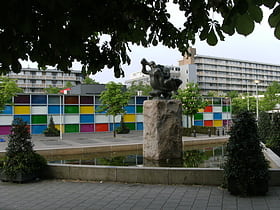
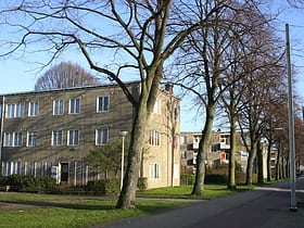
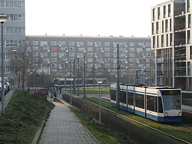
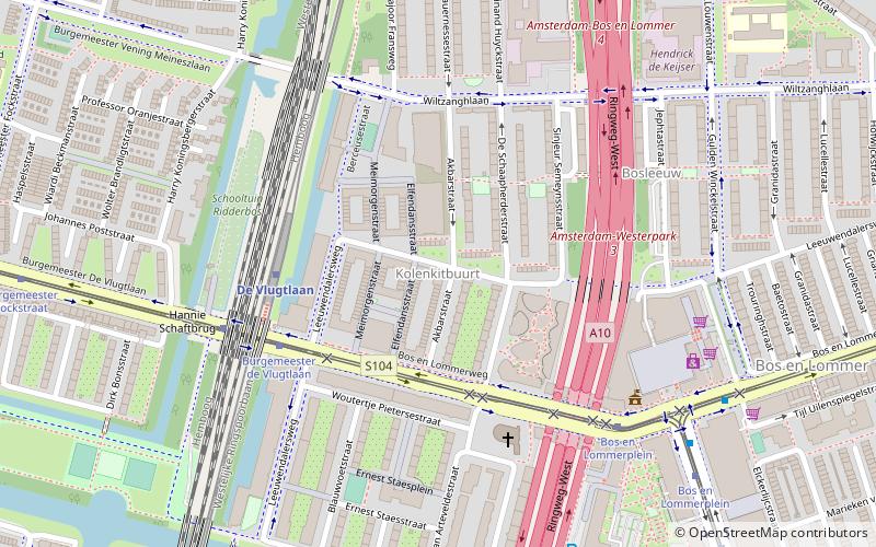
Kolenkit District is a neighbourhood in Amsterdam, Netherlands. In 2009 Eberhard van der Laan, the Minister of Housing, referred to the neighborhood as the worst in his "40 problem neighbourhoods" list.
Map

