Manchester: Neighbourhood
Places and attractions in the Neighbourhood category
Categories
- Church
- Gothic Revival architecture
- Park
- Museum
- Shopping
- Nightlife
- Bridge
- Theater
- Concerts and shows
- Sport
- Sport venue
- Area
- Town
- Street
- Art gallery
- Music venue
- Shopping district
- History museum
- Art museum
- Shopping centre
- L. S. Lowry
- Library
- Arenas and stadiums
- Music and shows
- City hall
- Bars and clubs
- Concert hall
- Architecture
- Specialty museum
- Skyscraper
- Sacred and religious sites
- Square
- Historical place
- Cemetery
- Garden
- Neighbourhood
- Gothic architecture
- Synagogue
- Universities and schools
- Vernacular architecture
- Memorial
- Canal
- Tower
Cheetham
Cheetham Hill is an inner-city area and electoral ward of Manchester, England, which in 2011 had a population of 22,562. It lies on the west bank of the River Irk, 1.4 miles north of Manchester city...
Northern Quarter
The Northern Quarter is an area of Manchester city centre, England, between Piccadilly station, Victoria station and Ancoats, centred on Oldham Street, just off Piccadilly Gardens.
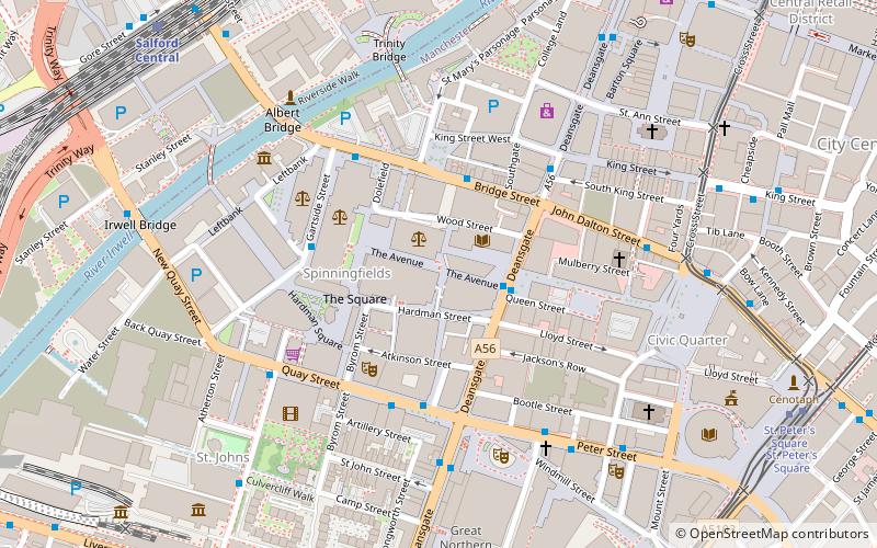
Spinningfields
Spinningfields is an area of Manchester city centre, in North West England, developed in the 2000s between Deansgate and the River Irwell by Allied London Properties.
Castlefield
Castlefield is an inner city conservation area of Manchester in North West England. The conservation area which bears its name is bounded by the River Irwell, Quay Street, Deansgate and Chester Road. It was the site of the Roman era fort of Mamucium or Mancunium which gave its name to Manchester.
Hulme
Hulme is an inner city area and electoral ward of Manchester, England, immediately south of Manchester city centre. It has a significant industrial heritage.
Chorlton-cum-Hardy
Chorlton-cum-Hardy is a suburban area of Manchester, England, three miles southwest of the city centre. Chorlton ward had a population of 14,138 at the 2011 census, and Chorlton Park 15,147. By the 9th century, there was an Anglo-Saxon settlement here.
Northenden
Northenden is a suburb of Manchester, England, with a population of 14,771 at the 2011 census. It lies on the south side of the River Mersey, 4.2 miles west of Stockport and 5.2 miles south of Manchester city centre, bounded by Didsbury to the north, Gatley to the east, and Wythenshawe to the south and west.
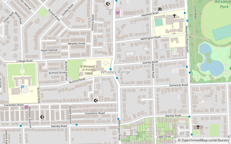
Whalley Range
Whalley Range is an area of Manchester, England, about 2 miles southwest of the city centre. The population at the 2011 census was 15,430.
Collyhurst
Collyhurst is an inner city area of Manchester, England, 1.5 miles northeast of the city centre on Rochdale Road and Oldham Road, bounded by Smedley, Harpurhey and Monsall to the north, Miles Platting to the east, Ancoats to the south, and the River Irk to the west.
Ordsall
Ordsall is an inner city suburb of Salford, Greater Manchester, England. The population at the 2011 census was 14,194. It lies chiefly to the south of the A57 road, close to the River Irwell, the main boundary with the city of Manchester, Salford Quays and Manchester Ship Canal, which divides it from Stretford.
Nico Ditch
Nico Ditch is a six-mile long linear earthwork between Ashton-under-Lyne and Stretford in Greater Manchester, England. It was dug as a defensive fortification, or possibly a boundary marker, between the 5th and 11th century.
New Moston
New Moston is a suburb within the City of Manchester, in North West England. Historically in Lancashire, it lies around four and a half miles to the north east of Manchester city centre and is contiguous with other parts of Moston and with the towns of Failsworth and Chadderton.
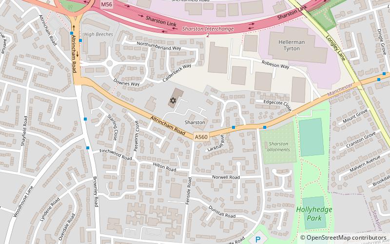
Sharston
Sharston is an area of Wythenshawe, south Manchester, England. The population at the 2011 census was 16,754.
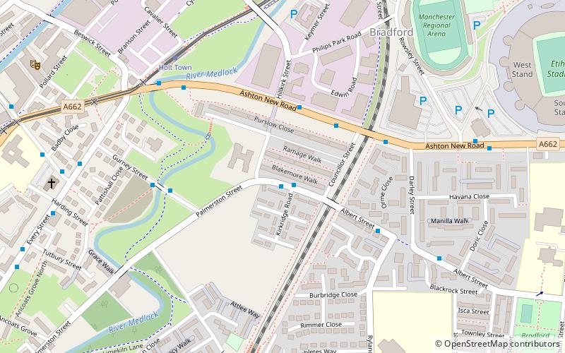
Beswick
Bradford-with-Beswick is an inner city area in Manchester, England. It consists of the ancient townships of Bradford, Manchester, and Beswick, Manchester, both in the ancient parish of Manchester and hundred of Salford.
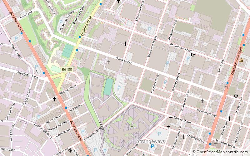
Strangeways
Strangeways is an area of inner north Manchester, England, around Strangeways Prison just north of the city centre.
Davyhulme
Davyhulme is an area of Urmston in Greater Manchester, England, historically in Lancashire. The population at the 2011 census was 19,634.
New Islington
New Islington is an inner city area of Manchester, in North West England. Historically in Lancashire and part of Ancoats, it has taken a separate identity to reflect its changed status as a regeneration area.
Urmston
Urmston is a town in Trafford, Greater Manchester, England, which had a population of 41,825 at the 2011 Census. Historically in Lancashire, it is 5 miles southwest of Manchester city centre.
Chorlton Poor Law Union
Chorlton Poor Law Union was founded in January 1837 in response to the Poor Law Amendment Act 1834, also known as the New Poor Law.
Clifton
Clifton is a suburb of Swinton in the City of Salford in Greater Manchester, England. It lies along the edge of Irwell Valley in the north of the City of Salford.
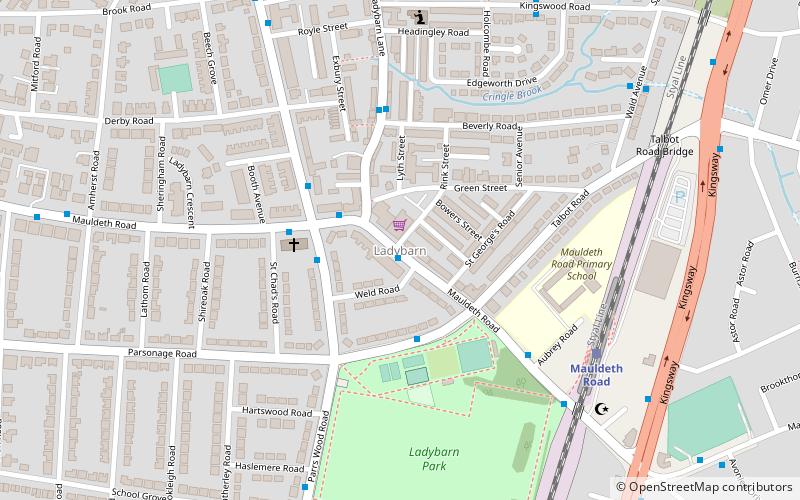
Ladybarn
Ladybarn is a small suburban area in Manchester, England, around Ladybarn Lane. It is now part of Manchester's urban sprawl but some of the village's original cobbled streets remain.
Firswood
Firswood is a suburban area of Stretford in the Metropolitan Borough of Trafford, Greater Manchester, England.
Rusholme
Rusholme is an area of Manchester, England, two miles south of the city centre. The population of the ward at the 2011 census was 13,643.
M postcode area
The M postcode area, also known as the Manchester postcode area, is a group of postcode districts in the North West of England.
Peel Green
Peel Green is a suburb at the western end of Eccles, Greater Manchester, England, in the historic county of Lancashire.
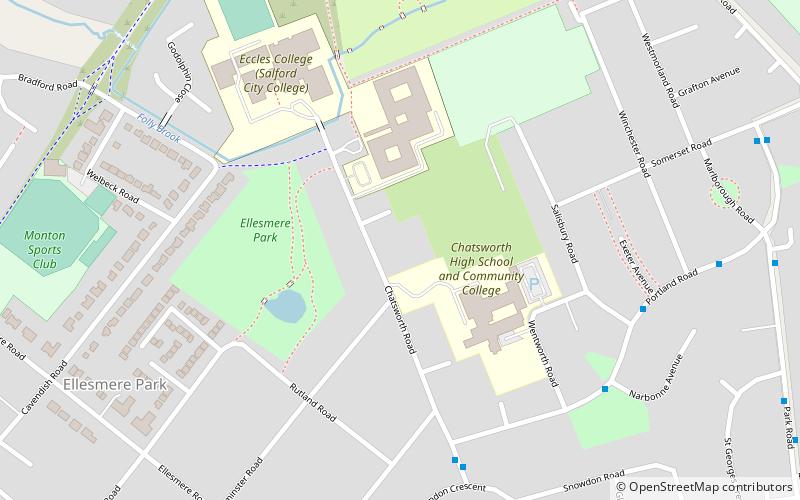
Ellesmere Park
Ellesmere Park is an area of Eccles, in Greater Manchester, England. Historically part of Lancashire, Ellesmere Park today is an affluent, predominantly residential area.
Trafford Waters
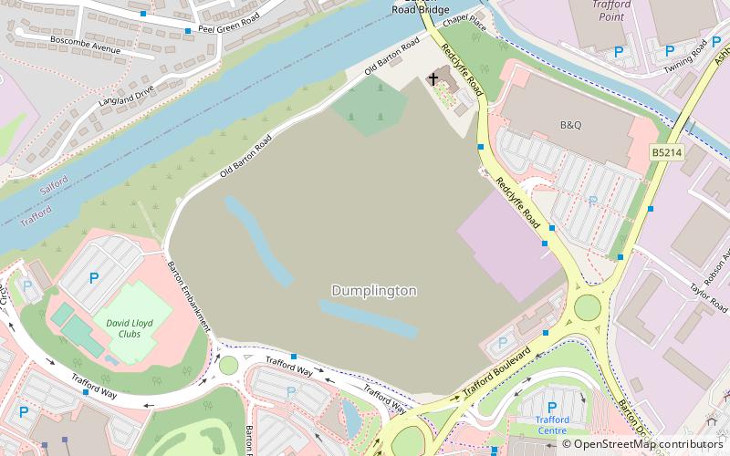
Trafford Waters is a major mixed-use proposed development in Trafford, Greater Manchester on land between the Manchester Ship Canal and the Trafford Centre.
Besses o' th' Barn
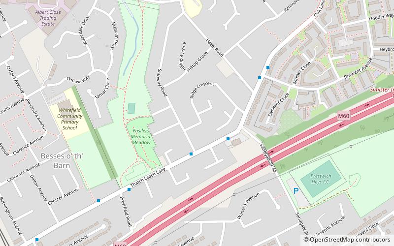
Besses o' th' Barn is a suburb in the Metropolitan Borough of Bury, Greater Manchester, England. The population at the 2011 Census was 10,664. It lies between Radcliffe and Prestwich.
Newton Heath
Newton Heath is an area of Manchester, England, 2.8 miles north-east of Manchester city centre and with a population of 9,883. Historically part of Lancashire, Newton was formerly a farming area, but adopted the factory system following the Industrial Revolution.
Map


