Minneapolis: Neighbourhood
Places and attractions in the Neighbourhood category
Categories
- Park
- Museum
- Bridge
- Concerts and shows
- Theater
- Library
- Nightlife
- Church
- Shopping
- Lake
- Sport
- Sport venue
- Romanesque architecture
- Art museum
- Natural attraction
- Historical place
- Shopping centre
- Nature
- Performing arts
- Architecture
- Vernacular architecture
- History museum
- Specialty museum
- Neighbourhood
- Art gallery
- Postmodern architecture
- Arenas and stadiums
- Hiking trail
- Event space
- Music venue
- Skyscraper
- Cinema
- Garden
- Outdoor activities
- Concert hall
- Tower
- Gothic Revival architecture
- Beach
- Street
- Romanesque revival architecture
- Cemetery
- Modernist architecture
University
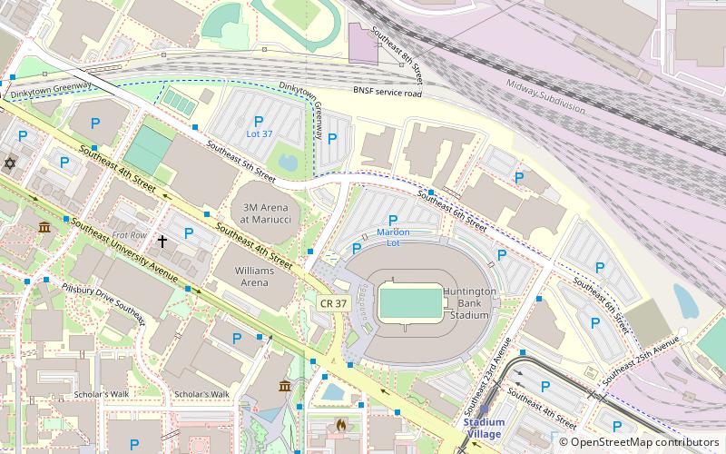
University is a neighborhood within the greater University community in Minneapolis, Minnesota. It is almost completely occupied by the Minneapolis campus of the University of Minnesota, hence the name.
Downtown West
Downtown West is an official neighborhood in Minneapolis, part of the larger Central community. It is the heart of downtown Minneapolis, containing the bulk of high-rise office buildings in the city, and is what comes to mind when most Minneapolitans think of "downtown".
Marcy-Holmes
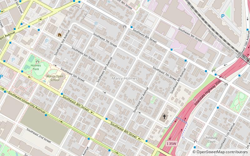
Marcy-Holmes is the first neighborhood of Minneapolis. The majority of the community is residential and sits upon a bluff overlooking the river and the city skyline. However, a small section of the neighborhood along the river is an industrial zone.
East Harriet
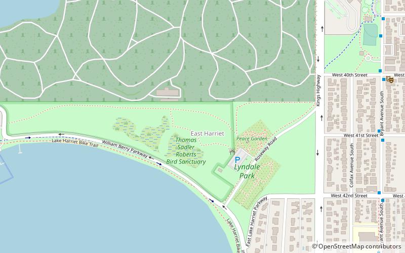
East Harriet is a neighborhood in the Southwest community in Minneapolis. Its boundaries are West 36th Street to the north, Lyndale Avenue South to the east, West 46th Street to the south, and Lake Harriet, Lakewood Cemetery, and William Berry Parkway to the west.
West Maka Ska
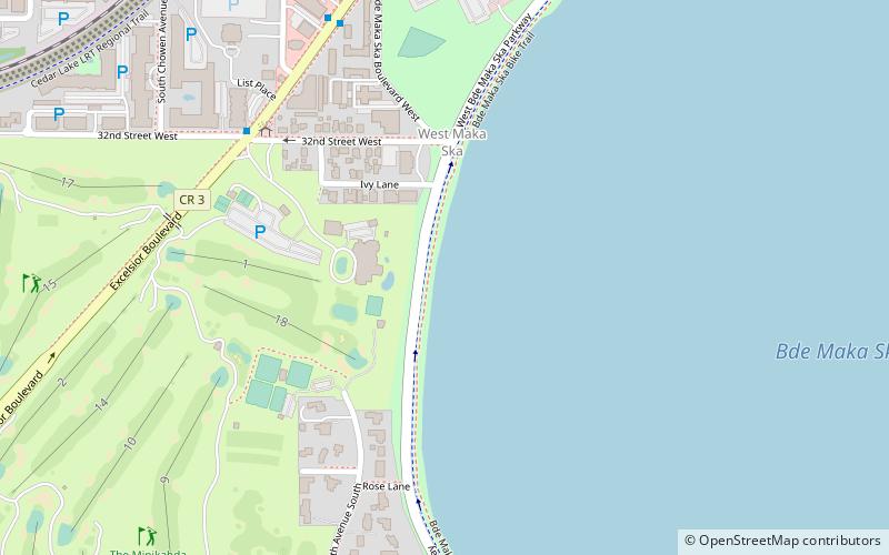
West Maka Ska, formerly known as West Calhoun, is a neighborhood in the U.S. city of Minneapolis. The neighborhood was general rural with a couple grain silos along the railroad track heading into Downtown Minneapolis until about the 1910s.
Northeast
Northeast is a defined community in the U.S. city of Minneapolis that is composed of 13 smaller neighborhoods whose street addresses end in "NE".
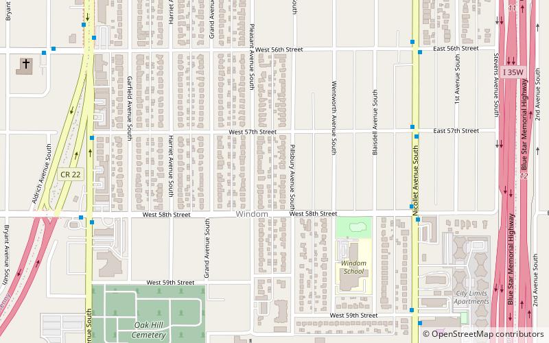
Windom
The Windom neighborhood is located in the Southwest community of Minneapolis. Its borders are Diamond Lake Road and West 54th Street to the north, Interstate 35W to the east, West 62nd Street to the south, and Lyndale Avenue South and Highway 121 to the west.
Linden Hills
Linden Hills is a neighborhood in the Southwest community of Minneapolis on a hill overlooking Lake Harriet. It was one of the last areas to be developed in the City of Minneapolis.
Stevens Square
Stevens Square is the southernmost neighborhood of the Central community in Minneapolis. Although one of the densest neighborhoods in Minneapolis today, the land was originally occupied by a few large mansions.
Dinkytown
Dinkytown is a commercial district within the Marcy-Holmes neighborhood in Minneapolis, Minnesota. Centered at 14th Avenue Southeast and 4th Street Southeast, the district contains several city blocks occupied by various small businesses, restaurants, bars, and apartment buildings that house mostly University of Minnesota students.
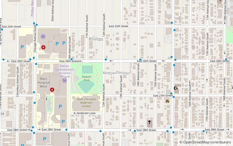
Midtown Phillips
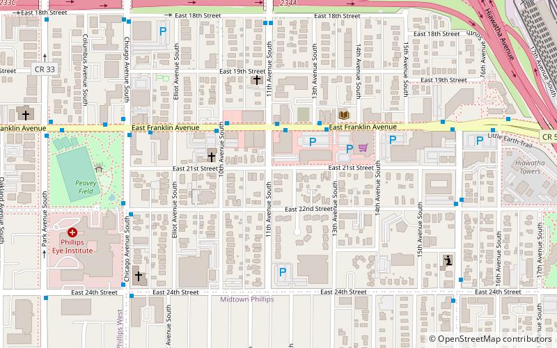
Midtown Phillips is a neighborhood within the Phillips community in Minneapolis. Its boundaries are East 24th Street to the north, Bloomington Avenue to the east, East Lake Street to the south, and Chicago Avenue to the west.
Lind-Bohanon
Lind-Bohanon is a northern neighborhood within the Camden community in Minneapolis.
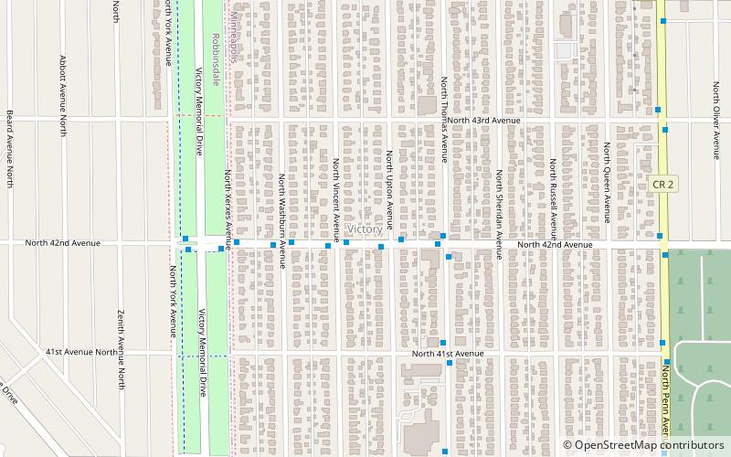
Victory
The Victory neighborhood is located within the Camden community of Minneapolis. It is bordered by the Humboldt Industrial Area on the north, Penn Avenue on the east, Dowling Avenue on the south, and the town of Robbinsdale on the west.
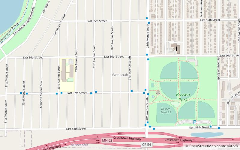
Wenonah
Wenonah is a neighborhood on the southeast side of Minneapolis, Minnesota. Its boundaries are 54th Street to the north, 34th Avenue to the east, the Minneapolis-Saint Paul International Airport to the south, and Cedar Avenue to the west.
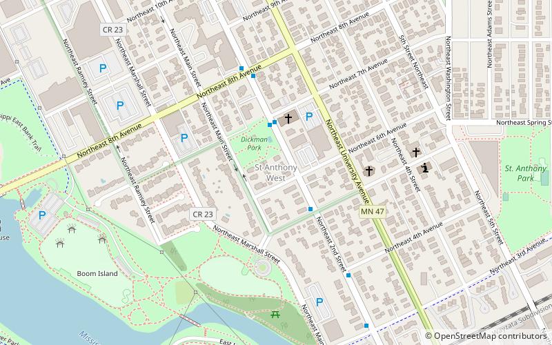
St. Anthony West
Saint Anthony West is a neighborhood in the Northeast community of Minneapolis...
Tangletown
Tangletown is a neighborhood in the Southwest community of Minneapolis. The neighborhood was officially known as Fuller until 1996 when it was changed to the present name, which reflects the winding streets in the neighborhood that do not conform to the regular street grid of South Minneapolis.
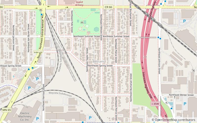
Beltrami
Beltrami is a neighborhood in the Northeast community in Minneapolis. Its boundaries are Broadway Street NE to the north, Interstate 35W to the east, East Hennepin Avenue to the south, and Central Avenue and Harrison Street NE to the west.
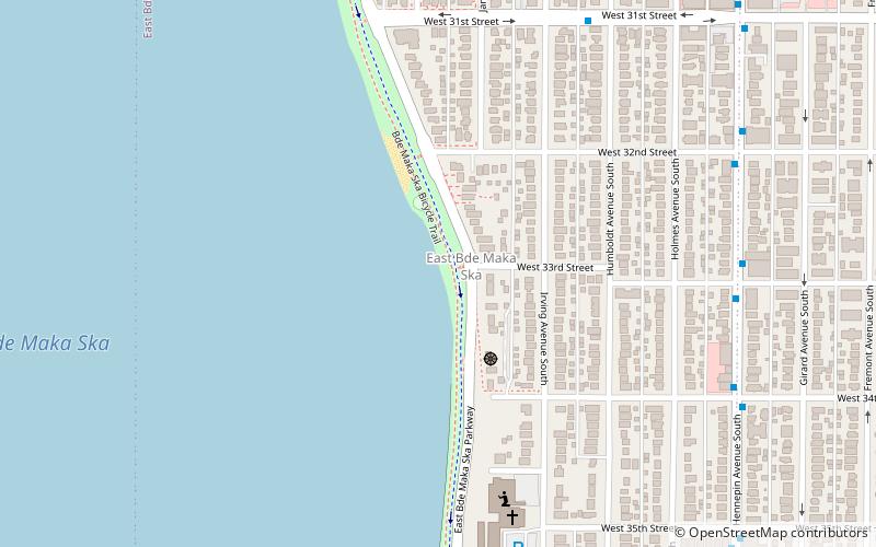
East Calhoun
East Bde Maka Ska is a neighborhood within the Calhoun-Isles community in the U.S. city of Minneapolis. It was formerly known as East Calhoun prior to August 2021.
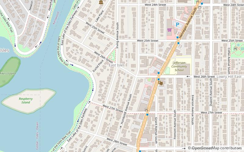
East Isles
East Isles is a neighborhood within the larger Calhoun-Isles community in Minneapolis, Minnesota, United States. The neighborhood was originally a part of the more historically affluent neighborhoods around Lake of the Isles: Kenwood and Lowry Hill.
Sumner-Glenwood
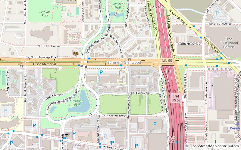
Sumner-Glenwood is a neighborhood in U.S. city of Minneapolis. It is located in the broader Near North community and the area is referred to as Heritage Park by the neighborhood association.
Corcoran
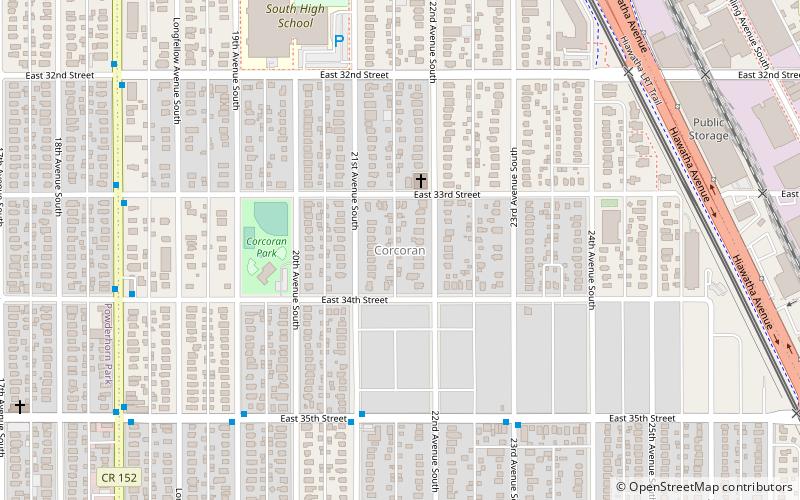
Corcoran is a neighborhood within the Powderhorn community in Minneapolis, Minnesota, United States. The neighborhood is bordered by Longfellow and Howe neighborhoods to the east, Phillips to the north, Powderhorn Park to the west and Standish to the south.
South Uptown
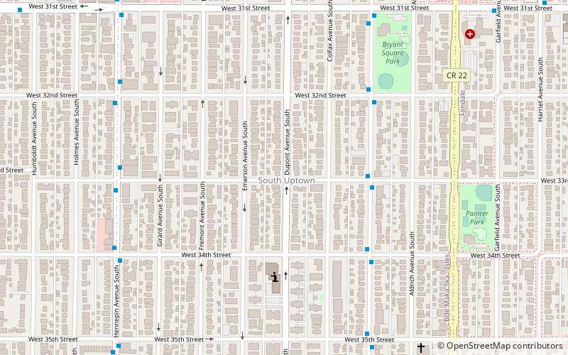
South Uptown is a residential neighborhood of Minneapolis, Minnesota. In 2018, the neighborhood voted to change its name to South Uptown from its former name CARAG. Other potential names for the neighborhood included "Bryant Park" and "Bryant Square". The Minneapolis City Council approved the name change in November 2018.
Cedar-Isles-Dean
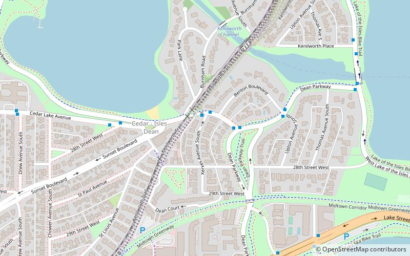
Cedar-Isles-Dean is a neighborhood in the Calhoun-Isles community in Minneapolis. Its boundaries are the Kenilworth Lagoon and Lake of the Isles to the north and east, West Lake Street to the south, and France Avenue South to the west.
Lyndale
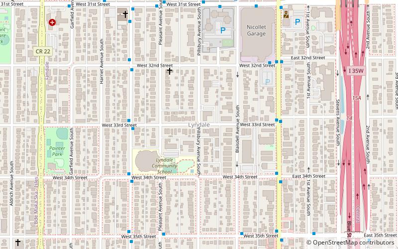
Lyndale is a neighborhood within the Powderhorn community in south Minneapolis, Minnesota, United States. Its boundaries are Lake Street to the north, Interstate 35W to the east, 36th Street to the south and Lyndale Avenue South to the west.
Ericsson
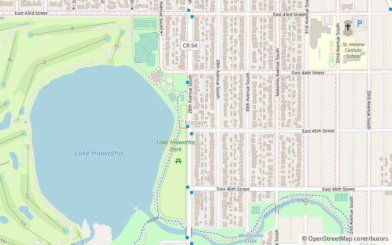
Ericsson is a neighborhood within the Nokomis community in Minneapolis. Its boundaries are East 42nd and 43rd Streets to the north, Hiawatha Avenue to the east, Minnehaha Parkway to the south, and Cedar Avenue to the west.
East Phillips
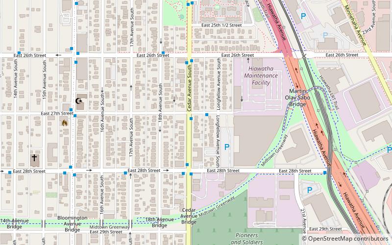
East Phillips is a neighborhood within the Phillips community in Minneapolis. Its northern boundary runs along East 24th Street from Bloomington Avenue to 17th Avenue South, then runs along East 22nd Street from 17th Avenue South to Little Earth Trail and Hiawatha Avenue.
Phillips West
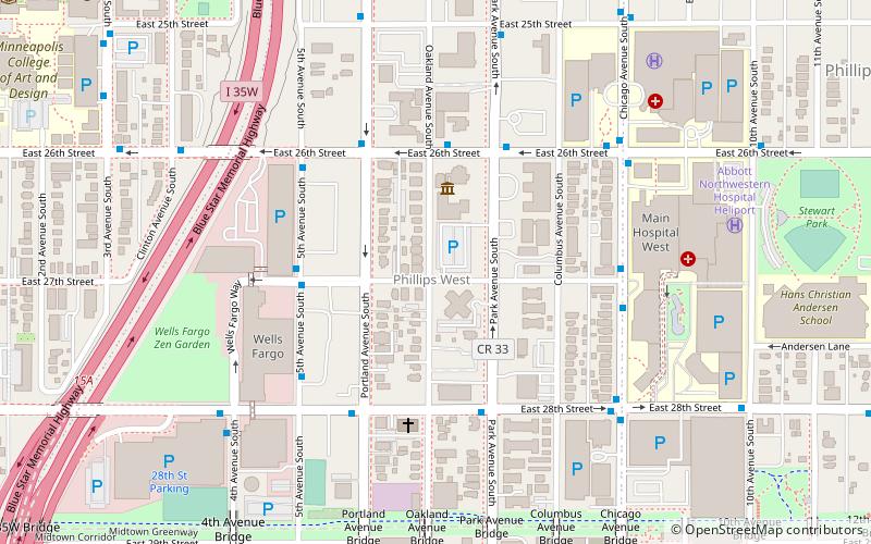
Phillips West is a neighborhood within the Phillips community in Minneapolis. Its boundaries are East 22nd Street to the north, Chicago Avenue to the east, East Lake Street to the south, and Interstate 35W to the west.
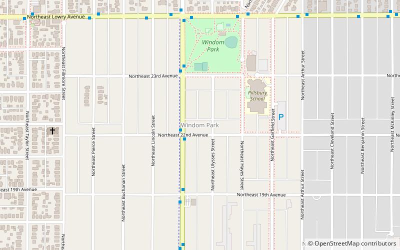
Windom Park
Windom Park is a neighborhood in the Northeast community in Minneapolis. Its boundaries are Lowry Avenue NE to the north, New Brighton Boulevard to the east, 18th Avenue NE to the south, and Central Avenue to the west.
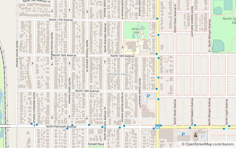
Willard-Hay
Willard-Hay is a neighborhood within the larger Near North community in the northwest side of the U.S. city of Minneapolis which is known locally as the "Northside".
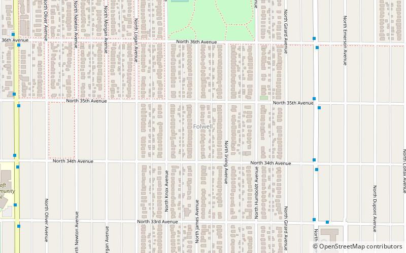
Folwell
Folwell is a neighborhood in the U.S. city of Minneapolis on its northside that is bound by Dowling Avenue to the north, Dupont Avenue North to the east, Lowry Avenue North to the south, and Penn Avenue North to the west.
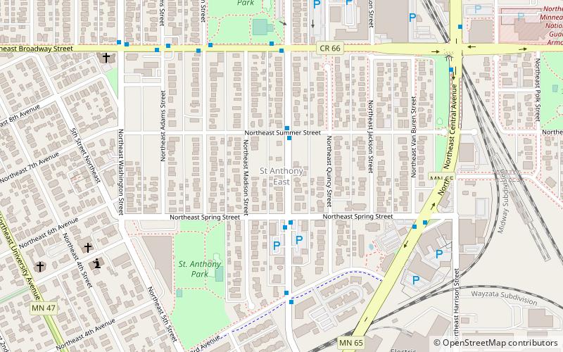
St. Anthony East
St. Anthony East is a neighborhood in the Northeast community in Minneapolis, Minnesota. Its boundaries are Broadway to the north, Central Avenue to the east and southeast, 2nd Avenue to the south, 5th Street to the southwest, and Washington Street to the west.
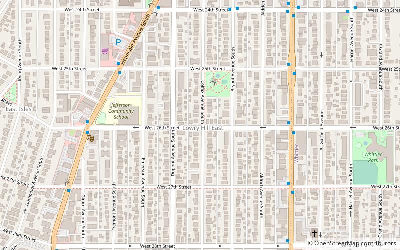
Lowry Hill East
Lowry Hill East is a neighborhood in southwest Minneapolis, Minnesota, United States, part of the Calhoun Isles community. Lowry Hill East developed in the 1880s along a horse-drawn streetcar line built by Thomas Lowry.
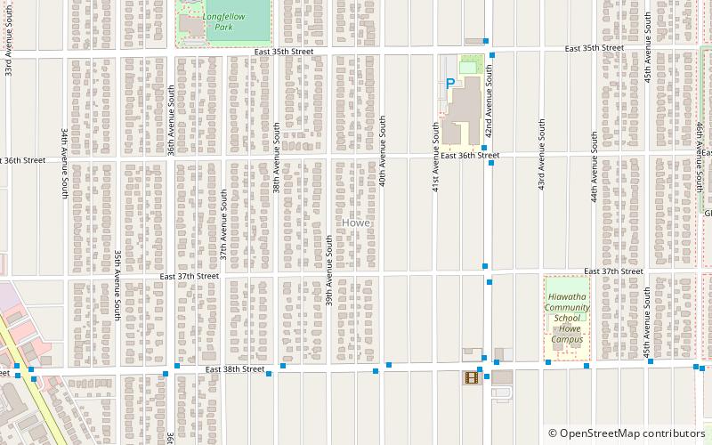
Howe
Howe is a neighborhood within the larger Longfellow community in Minneapolis. It is bordered by the Cooper and Longfellow neighborhoods to the north, Corcoran and Standish to the west, Hiawatha to the south, and the Mississippi River to the east.
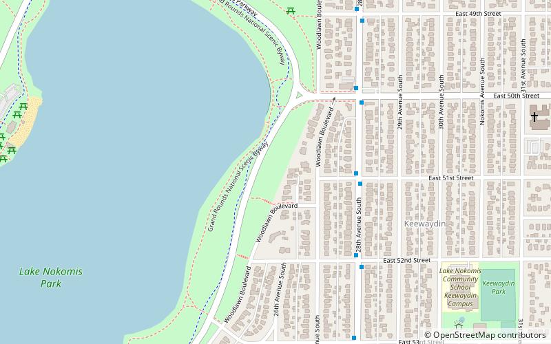
Keewaydin
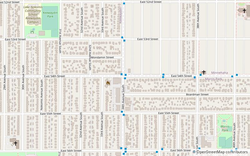
Keewaydin is a neighborhood in the Nokomis community in Minneapolis, Minnesota. Its boundaries are Minnehaha Parkway to the north, 34th Avenue to the east, 54th Street to the south, and Cedar Avenue to the west.
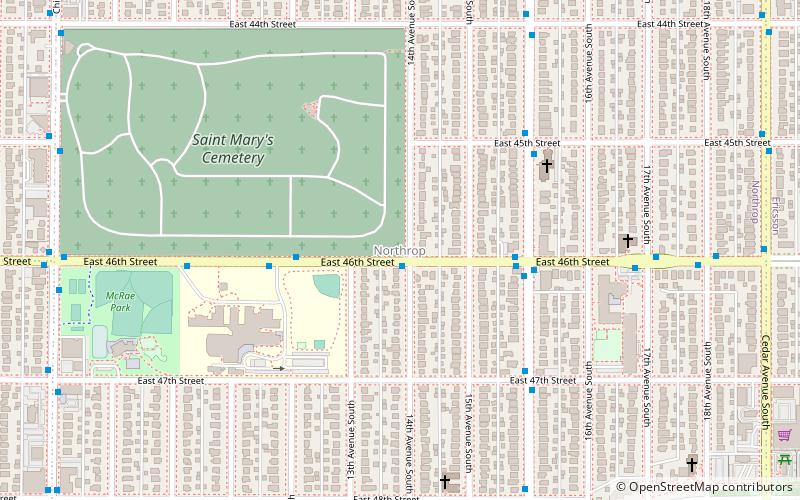
Northrop
Northrop is a neighborhood in the Nokomis community in Minneapolis, Minnesota, United States. Its boundaries are 42nd Street to the north, Cedar Avenue to the east, Minnehaha Parkway to the south, and Chicago Avenue to the west. It shares a neighborhood organization with the Field and Regina neighborhoods.
Washburn-Fair Oaks Mansion District
The Washburn-Fair Oaks Mansion District is a historic district in the Whittier neighborhood of Minneapolis, Minnesota, United States, centered on Washburn-Fair Oaks Park.
University of Minnesota Old Campus Historic District
The University of Minnesota Old Campus Historic District is a historic district located in Minneapolis, Minnesota. Listed in the National Register of Historic Places since 1984, it includes a number of historic buildings that were constructed during the late 1800s and early 1900s.
Longfellow
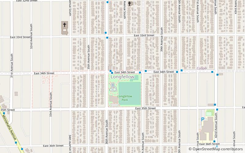
Longfellow is a defined community in Minneapolis, Minnesota which includes five smaller neighborhoods inside of it: Seward, Cooper, Hiawatha, Howe and Longfellow.
Milwaukee Avenue Historic District
The Milwaukee Avenue Historic District is a historic district in the Seward neighborhood of Minneapolis. The district comprises two city blocks of small homes on quarter-sized lots.
University Grove
University Grove is a neighborhood of Falcon Heights, Minnesota, known for its 103 homes individually designed by architects.
Nokomis East
Nokomis East is a group of neighborhoods in the southeastern corner of Minneapolis, Minnesota, United States. It consists of four neighborhoods: Keewaydin, Minnehaha, Morris Park and Wenonah.
Prospect Park
Prospect Park is a historic neighborhood within the University community of the U.S. city of Minneapolis, Minnesota.
Ventura Village
Ventura Village is a neighborhood within the Phillips community in Minneapolis. Its boundaries are Interstate 35W to the west, Interstate 94 to the north, and Hiawatha Avenue to the east.
Webber-Camden
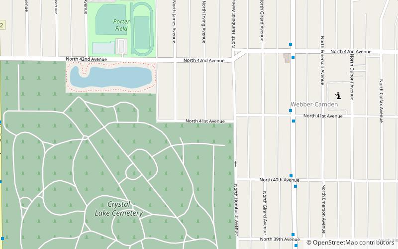
The Webber-Camden neighborhood is located in the Camden community of Minneapolis, Minnesota. Its boundaries are Penn and Newton Avenues to the west, the Canadian Pacific Railway tracks to the north, Interstate 94 to the east, and Dowling Avenue to the south.
Shingle Creek
Shingle Creek is a neighborhood within the Camden community in Minneapolis; it is located in the far northwestern corner of the city. The neighborhood is named after the creek that runs through it.
Map

