Providence: Neighbourhood
Places and attractions in the Neighbourhood category
Categories
- Church
- Museum
- Park
- Historical place
- Theater
- Library
- Architecture
- History museum
- Universities and schools
- Bridge
- Concerts and shows
- Georgian architecture
- Neighbourhood
- Gothic Revival architecture
- Skyscraper
- Sport
- Sport venue
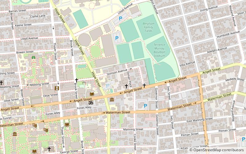
Stimson Avenue Historic District
The Stimson Avenue Historic District is a residential historic district on the east side of Providence, Rhode Island. It includes all of Stimson Avenue and Diman Place, as well as adjacent properties on Angell Street on the south and Hope Street on the west, forming a relatively compact rectangular area.
College Hill
College Hill is a historic neighborhood of Providence, Rhode Island, and one of six neighborhoods comprising the city's East Side.
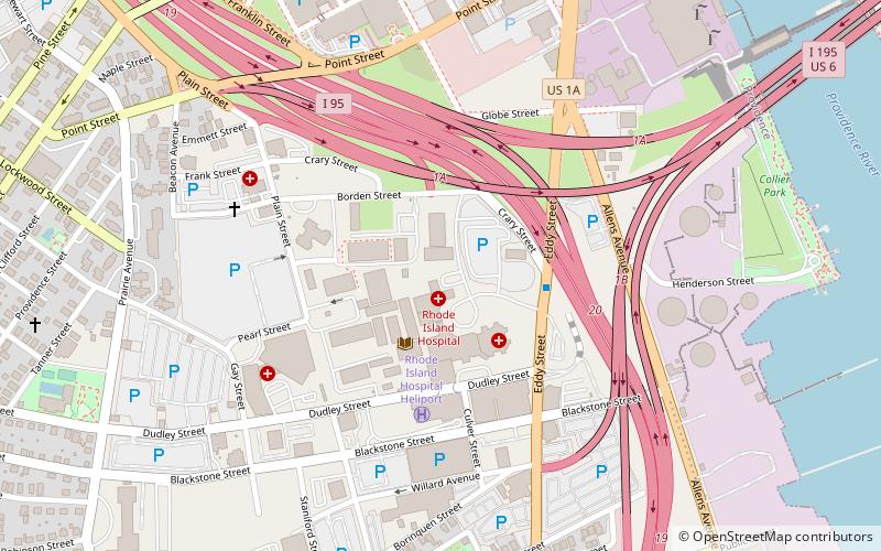
Providence Jewelry Manufacturing Historic District
The Providence Jewelry Manufacturing Historic District is a predominantly industrial historic district in Providence, Rhode Island. It covers a roughly 19-acre area in the city's Jewelry District, just south of Downtown Providence.
Upper South Providence
Upper South Providence is an official neighborhood in the South Side in the city of Providence, Rhode Island. It is bound to the north by Interstate 95, the east by the Providence River, to the south by Public Street, and the west by Broad Street.
Jewelry District
The Jewelry District is a neighborhood of Providence, Rhode Island located just southeast of Downtown. The historical path of Interstate 195 delineates the neighborhood's northern border while Interstate 95 and the Providence River define its western, southern and eastern edges.
Fox Point
Fox Point is a neighborhood in the East Side of Providence, Rhode Island. It is bounded by the Providence and Seekonk rivers, Interstate 195 and the College Hill and Wayland neighborhoods.
Blackstone
Blackstone is a predominantly residential neighborhood in Providence, Rhode Island. It is in the northeast corner of the city and is bounded to the south and west by Lloyd Avenue and Hope Street respectively. It is one of six neighborhoods comprising the East Side of Providence.
Customhouse Historic District
The Customhouse Historic District is a historic district encompassing fifteen historic buildings in downtown Providence, Rhode Island.
Broadway–Armory Historic District
The Broadway–Armory Historic District is a historic district encompassing a mainly residential mixed-used urban area west of downtown Providence, Rhode Island.
Wanskuck Historic District
The Wanskuck Historic District is a historic district in the city of Providence, Rhode Island encompassing a mill village with more than two hundred years of history.
Rhodes Street Historic District
Rhodes Street Historic District is a residential historic district encompassing one block of Rhodes Street in southern Providence, Rhode Island, along with the dead-end Janes and Alphonso Streets.
Wesleyan Avenue Historic District
The Wesleyan Avenue Historic District is a residential historic district in the Elmwood section of Providence, Rhode Island. It includes 25 houses, on a one-block section of Wesleyan Avenue between Taylor and Broad Streets, with a few of them on the two end streets.
Bridgham–Arch–Wilson Streets Historic District
The Bridgham–Arch–Wilson Streets Historic District is a predominantly residential historic district in Providence, Rhode Island. It is located southwest of downtown Providence, and was developed beginning in the 1840s as a suburban part of the city.
Parkis–Comstock Historic District
The Parkis–Comstock Historic District is a residential historic district in the Elmwood neighborhood of Providence, Rhode Island. It includes all of the properties on Parkis Avenue and a number of properties on the western end of Comstock Street and Harvard Avenue, just across Broad Street from Parkis.
Doyle Avenue Historic District
The Doyle Avenue Historic District is a predominantly residential historic district on the East Side of Providence, Rhode Island. It extends along Doyle Avenue from North Main Street in the west to Proctor Place.
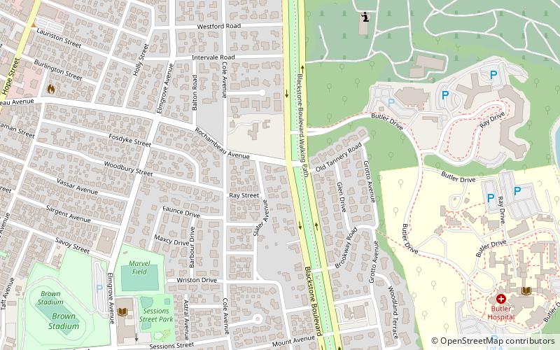
Blackstone Boulevard Realty Plat Historic District
The Blackstone Boulevard Realty Plat Historic District is a historic district roughly bounded by Blackstone Blvd. Rochambeau Ave. Holly St. and Elmgrove Ave. in Providence, Rhode Island. The district features architecture by Marshall Martin, William T.
Federal Hill
Federal Hill is a neighborhood in Providence, Rhode Island. It lies immediately west of the city's Downtown, across Interstate 95.
Smith Hill Historic District
The Smith Hill Historic District is a historic district located in northwestern Providence, Rhode Island, just west of the Rhode Island State House and Interstate 95.
Westminster Street Historic District
Westminster Street Historic District is a commercial historic district consisting of six buildings along the north side of Westminster Street in Providence, Rhode Island, a short way west of Interstate 95.
Lower South Providence
The Lower South Side is a neighborhood in the southern part of Providence, Rhode Island. It is bounded by Public Street to the north, by Interstate 95 to the south, by Broad Street to the west, and by the Providence River to the east.
Olneyville
Olneyville is a neighborhood in Providence, Rhode Island bordered by Atwells Avenue to the north, U.S. Route 6 to the south and Rhode Island Route 10 to the east. The Woonasquatucket River runs through the southern portion of the neighborhood. The area is roughly triangular.
Elmwood Historic District
The Elmwood Historic District encompasses two large residential sections of the Elmwood neighborhood of Providence, Rhode Island.
Trinity Square Historic District
The Trinity Square Historic District is a historic district in the Elmwood neighborhood of Providence, Rhode Island. It includes four properties on the south and west side of Trinity Square, the triangular junction of Elmwood Avenue and Broad Street.
State Home and School for Dependent and Neglected Children
The State Home and School for Dependent and Neglected Children was the first state home for needy children in the state of Rhode Island. It was located on a campus in what was originally rural western Providence, on a former gentleman's farm.
Charles
Charles is a neighborhood in northern Providence, Rhode Island. Along with Wanskuck, it comprises what is sometimes referred to as the North End.
Manton
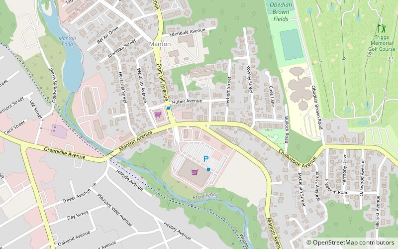
Manton is a residential neighborhood in Providence, Rhode Island and part of Johnston, Rhode Island. It is in the westernmost part of the city. of Providence The town of North Providence borders it to the north, Johnston to the west, while the neighborhoods of Hartford, Olneyville, and Mount Pleasant border it inside Providence.
Wanskuck
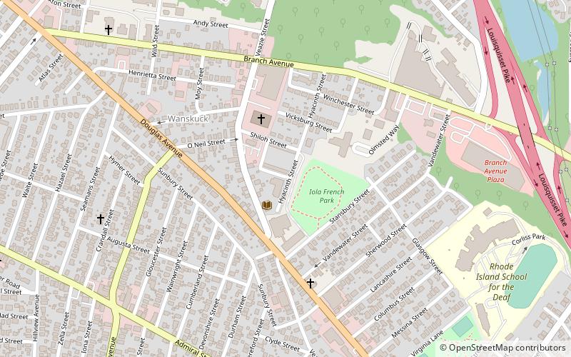
Wanskuck is a neighborhood in the northern part of Providence, Rhode Island. Along with Charles, it is one of two neighborhoods comprising what is often referred to as the North End.
Reservoir
Reservoir is a neighborhood in southwest Providence, Rhode Island. It is bounded to the north and east by the Amtrak Northeast Corridor railroad tracks, and to the west and south by the municipal boundary with Cranston. The population of the neighborhood, as of 2000, was 2,963.
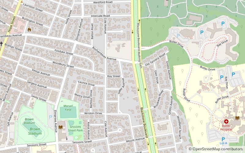
Blackstone Boulevard–Cole Avenue–Grotto Avenue Historic District
The Blackstone Boulevard–Cole Avenue–Grotto Avenue Historic District is a predominantly residential historic district roughly bounded by Blackstone Boulevard, Cole Avenue, Grotto Avenue, President and Rochambeau Avenues on the east side of Providence, Rhode Island.
Blackstone Park Historic District
Blackstone Park Historic District is roughly bounded by the Seekonk River, Laurell Avenue, Blackstone Boulevard, and South Angell Street in Providence, Rhode Island within the Blackstone region of the East Side.
Summit Historic District
The Summit Historic District is a residential historic district in northeastern Providence, Rhode Island. It is bounded on the east by Summit Avenue, the south by Rochambeau Avenue, the west by Camp Street, and the north by Memorial Road and Creston Way.
Oakland Avenue Historic District
The Oakland Avenue Historic District is a residential historic district in the Smith Hill neighborhood of Providence, Rhode Island, USA.
Pekin Street Historic District
The Pekin Street Historic District is a residential historic district bounded by Pekin and Candace Streets, Douglas and Chalkstone Avenues in Providence, Rhode Island.
Pine Street Historic District
The Pine Street Historic District is a residential historic district on the south side of Providence, Rhode Island. It extends along Pine Street between Seekell and Myrtle Streets, and includes properties east of Pine and north of Pearl Street on Friendship, Prince, Maple, and Stewart Streets.
Wayland
The Wayland Historic District is a predominantly residential historic district on the east side of Providence, Rhode Island.
South Elmwood
South Elmwood is the southernmost neighborhood in Providence, Rhode Island, and is home to Roger Williams Park and the Roger Williams Park Zoo.
Hope–Power–Cooke Streets Historic District
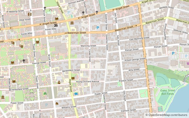
The Hope–Power–Cooke Streets Historic District is a residential historic district on the East Side of Providence, Rhode Island.
Freeman Plat Historic District
The Freeman Plat Historic District is a residential historic district on the East Side of Providence, Rhode Island. The district is a well-preserved example of an early-20th-century planned residential area, encompassing some 50 acres.
Elmgrove Gardens Historic District
The Elmgrove Gardens Historic District is a residential historic district in northeastern Providence, Rhode Island, United States.
Olney Street–Alumni Avenue Historic District
Olney Street–Alumni Avenue Historic District is a residential historic district in northeastern Providence, Rhode Island. Located just north of the Moses Brown School campus, this is an enclave of 53 tasteful yet conservative houses built between about 1880 and 1938.
Andrew Dickhaut Cottages Historic District
The Andrew Dickhaut Cottages Historic District encompasses a collection of historic worker cottages in the Smith Hill neighborhood of Providence, Rhode Island, along with the home of their builder, Andrew Dickhaut.
Green Jacket Shoal
Green Jacket Shoal is a 33-acre shoal and ship graveyard in Providence River, between the cities of East Providence and Providence, Rhode Island, United States. It contains a large amount of debris from a century of abandoned and wrecked ships, destroyed docks, pilings, and other remnants of the area's industrial past.
Power Street–Cooke Street Historic District
The Power Street–Cooke Street Historic District is a residential historic district on the East Side of Providence, Rhode Island.
Map

