Melbourne: Street
Places and attractions in the Street category
Categories
- Shopping
- Museum
- Park
- Shopping centre
- Street
- Area
- Church
- Art museum
- Bike path
- Cycling
- Theater
- Bridge
- History museum
- Concerts and shows
- Sport
- Sport venue
- Skyscraper
- Historical place
- Nightlife
- City hall
- Specialty museum
- Shopping district
- Art gallery
- Garden
- Arenas and stadiums
- Architecture
- Music venue
- Gothic Revival architecture
- Concert hall
- Universities and schools
- City
- Cemetery
- Library
- Memorial
- Performing arts
- Modern art museum
- Lake
- Sacred and religious sites
- Music and shows
- Golf
- Cinema
- Monuments and statues
- Market
- Mosque
- Neighbourhood
- Climbing
- Piers and boardwalks
- Entertainment
- Football
- Synagogue
- Event space
- Bars and clubs
- Modernist architecture
- Tennis
- Playground
- Dancing
- Italianate architecture
- Victorian architecture
- Art Deco architecture
- Neoclassical architecture
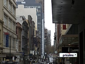
Collins Street
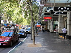
Collins Street, a prestigious boulevard in the heart of Melbourne, Australia, is renowned for its high-end shopping and sophisticated charm. This iconic thoroughfare stretches through Melbourne's central business district, flanked by historic architecture and modern...
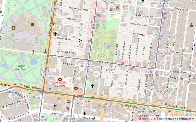
Brunswick Street
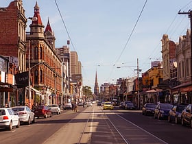
Brunswick Street, nestled in the vibrant heart of Melbourne, Australia, is a bustling shopping district renowned for its eclectic mix of boutiques, eateries, and entertainment venues. This iconic street, pulsating with the city's creative energy, provides a unique...
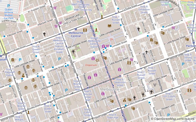
Smith Street Bazaar
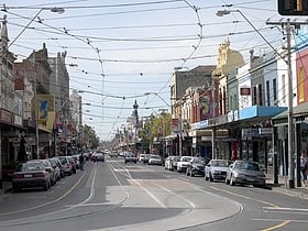
Nestled in the heart of Melbourne's eclectic Collingwood neighborhood, Smith Street Bazaar stands as a vibrant testament to the city's diverse shopping culture. A treasure trove for vintage aficionados and lovers of unique finds, this shopping district is a labyrinth...
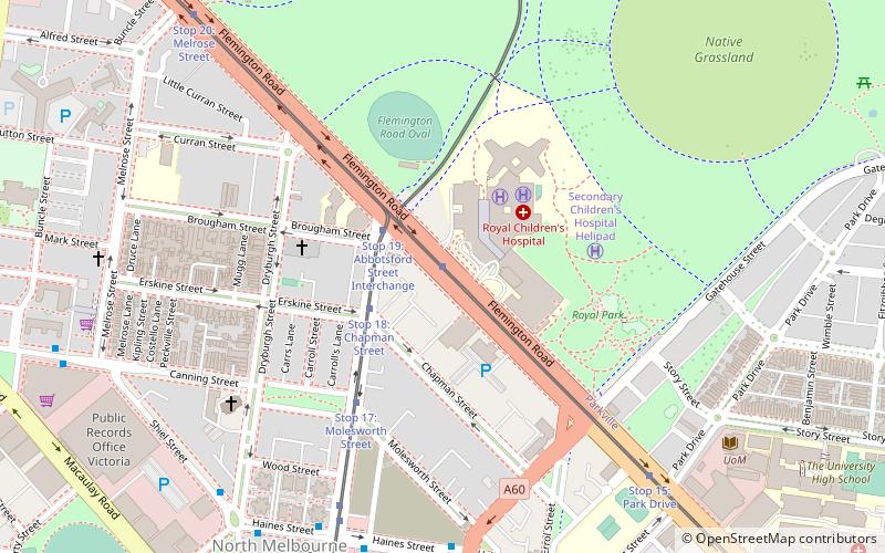
Chapel Street
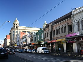
Chapel Street, located in the vibrant city of Melbourne, Australia, is a bustling shopping district known for its eclectic mix of boutique shops, high-end retailers, and unique dining experiences. Spanning several suburbs including South Yarra, Prahran, and Windsor...
Little Collins Street
Little Collins Street is a minor street in the central business district of Melbourne, Victoria, Australia. The street runs parallel to and to the north of Collins Street and as a narrow one way lane takes on the name of the wider main street.
Flinders Lane
Flinders Lane is a minor street and thoroughfare in the central business district of Melbourne, Victoria, Australia. The laneway runs east–west from Spring Street to Spencer Street in-between Flinders and Collins Streets.
ACDC Lane
AC/DC Lane is a laneway in the central business district of Melbourne, Australia. A short and narrow street running off Flinders Lane, it runs roughly north–south in between Exhibition Street and Russell Street. The lane is named as a tribute to the famous Australian hard rock band AC/DC.
Victoria Street
Victoria Street is one of the major thoroughfares of inner Melbourne, running east–west for over six kilometres between Munster Terrace in North Melbourne and the Yarra River.
Ramsay Street
Ramsay Street is the fictional cul-de-sac in which the characters of the Australian soap opera Neighbours live. The street is set in the equally fictional Melbourne suburb of Erinsborough.
Gertrude Street
Gertrude Street is a street in the inner northern suburb of Fitzroy, Melbourne. Cafes, bars, eateries, boutiques, antiques shops, bookshops, many social services and a few art galleries are located along the street, which runs along an east–west alignment from Nicholson Street...
Nicholson Street
Nicholson Street is a street in inner Melbourne. It is named after William Nicholson, then member of the Legislative Council, and later Premier of Victoria from 1859 to 1860.
Lonsdale Street
Lonsdale Street is a main street and thoroughfare in the city centre of Melbourne, Australia. It runs roughly east–west and was laid out in 1837 as one of Melbourne's original boundaries within the Hoddle Grid. The street extends from Spring Street in the east to Spencer Street in the west.
Spring Street
Spring Street is a major street in the central business district of Melbourne, Australia. It runs roughly north-south and is the easternmost street in the original 1837 Hoddle Grid.
Flinders Street
Flinders Street is a street in Melbourne, Victoria, Australia. Running roughly parallel to the Yarra River, Flinders Street forms the southern edge of the Hoddle Grid. It is exactly 1 mi in length and one and a half chains in width.
Hardware Lane
Hardware Lane is a wide laneway in Melbourne, Australia. It runs roughly north–south between Bourke Street and Little Lonsdale Street in the city centre. It changes name to Hardware Street between Lonsdale and Little Lonsdale Streets.
Centre Place
Centre Place is a laneway and pedestrian precinct in Melbourne, Australia. It runs north from Flinders Lane to Collins Street, between Elizabeth Street and Swanston Street. The laneway is famous for its vibrant bars, cafes, restaurants and boutiques.
Russell Street
Russell Street is a main street and thoroughfare in the central business district of Melbourne, Victoria, Australia. It runs roughly north-south and was laid out as a core feature of the Hoddle Grid in 1837.
Hoddle Grid
Hoddle Grid is the contemporary name given to the approximately 1-by-0.5-mile grid of streets that form the Melbourne central business district, Australia.
Elizabeth Street
Elizabeth Street is one of the main streets in the central business district of Melbourne, Victoria, Australia, part of the Hoddle Grid laid out in 1837. It is presumed to have been named in honour of governor Richard Bourke's wife. The street is famous as a retail shopping precinct, particularly for motorcycles and cameras.
Exhibition Street
Exhibition Street is a major street in the central business district of Melbourne, Australia. The street is named after the International Exhibition held at the Royal Exhibition Building in 1880, and was previously known as Stephen Street from 1837.
King Street
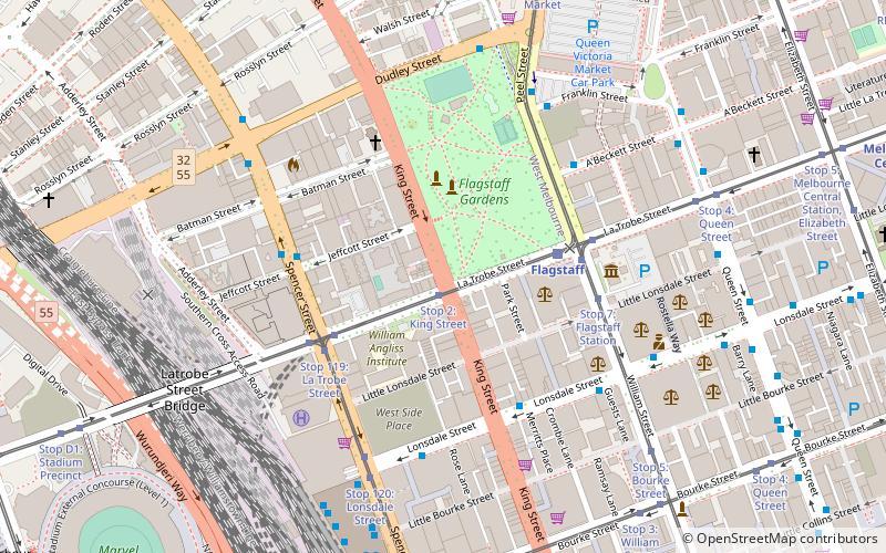
King Street is a main road in the central business district of Melbourne, Australia. It is considered a key hub of Melbourne's nightlife and is home to many pubs, nightclubs, restaurants, and adult entertainment venues.
Wurundjeri Way
Wurundjeri Way is a 1.9-kilometre road running through the Docklands Development west of the Melbourne central business district. It was constructed in 1999 as part of replanning and development of the former Melbourne rail yards and docks.
St Kilda Junction
St Kilda Junction is a major intersection in Melbourne, Australia. It is in the suburb of St Kilda, bordering Windsor and St Kilda East, and is the meeting point of the major roads Punt Road, St Kilda Road, Dandenong Road/Queens Way/Princes Highway and Fitzroy Street.
Little Lonsdale Street
Little Lonsdale Street is located in the centre of Melbourne, Victoria, Australia. A part of the Hoddle Grid, it runs roughly east–west. North of Lonsdale Street and south of La Trobe Street, Little Lonsdale Street's eastern end intersects with Spring Street while its western end intersects with Spencer Street.
Bank Place
Bank Place is a street in Melbourne, Australia. It is a laneway running roughly north-south between Collins Street and Little Collins Street in the central business district. Located in the heart of the financial sector, Bank Place features many pre-war buildings dating from the 1860s through to the 1920s.
Queen Street
Queen Street is a street in the central business district of Melbourne, Victoria, Australia. The street forms part of the original Hoddle Grid and was laid out in 1837.
Fitzroy Street
Fitzroy Street is the major thoroughfare of the beachside Melbourne suburb of St Kilda. Its fortunes have risen and fallen along with that of St Kilda itself, from wealthy residential district to a popular working and middle class beachside entertainment district, to cheap and seedy, and popular again in the late 20th century.
Port Phillip Arcade
Port Phillip Arcade is a small arcade in Melbourne, the capital city of the Australian state of Victoria with several cafés and general food outlets. It connects Flinders Lane with Flinders Street between Swanston Street and Degraves Street.
La Trobe Street
La Trobe Street is a major street and thoroughfare in the city centre of Melbourne, Victoria, Australia. It runs roughly east–west and forms the northern boundary of Melbourne's central business district. The street was laid out as an extension of the original Hoddle Grid in 1839 and was named after Charles La Trobe.
Little Bourke Street
Little Bourke Street in Melbourne's CBD runs roughly east–west within the Hoddle Grid. It is a one-way street heading in a westward direction. The street intersects with Spencer Street at its western end and Spring Street at its eastern end.
St Kilda Road
St Kilda Road is a street in Melbourne, Victoria, Australia. It is part of the locality of Melbourne which has the postcode of 3004, and along with Swanston Street forms a major spine of the city.
Howey Place
Howey Place, formerly known as "Cole's Walk" is a shopping arcade in Melbourne, Victoria. It is a short, narrow covered laneway, running south from Little Collins Street between Swanston Street and Elizabeth Street in the central business district of Melbourne.
Spencer Street
Spencer Street is a major street and thoroughfare in the central business district of Melbourne, Victoria. The street was gazetted in 1837 as the westernmost boundary of the Hoddle Grid.
Block Place
Block Place is a street in Melbourne. It is a short, narrow partially covered laneway, running south from Little Collins Street between Swanston Street and Elizabeth Street in the central business district of Melbourne.
Caledonian Lane
Caledonian Lane is a street in Melbourne. It is a short, quiet and narrow open laneway, running between Little Bourke Street and Lonsdale Street in the central business district of Melbourne.
Mount Alexander Road
Mount Alexander Road is a major road in Melbourne's inner northern suburbs, connecting the northern edges of the city district to just south of Essendon Airport.
McKillop Street
McKillop Street is a street in Melbourne, Victoria. It is a short, quiet and narrow open laneway, running between Bourke Street and Little Collins Street between Queen Street and Elizabeth Street in the central business district of Melbourne.
Flemington Road
Flemington Road is a major thoroughfare in the inner suburbs of North Melbourne and Parkville in Melbourne, Victoria, Australia.
Mickleham Road
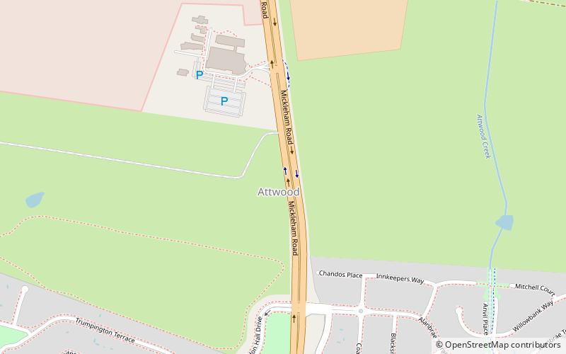
Mickleham Road is a secondary road located in Victoria, Australia, north of Melbourne.
Warrigal Road
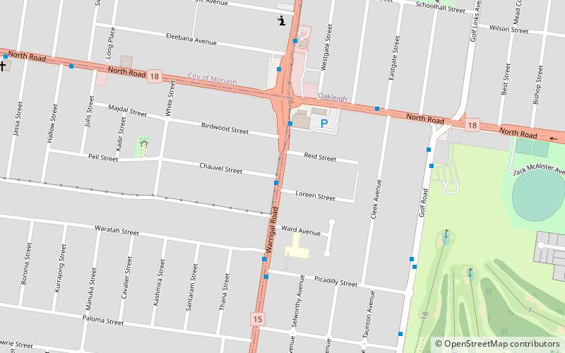
Warrigal Road is a major inner urban road in southeastern Melbourne, Australia. On weekdays, it is heavily trafficked as it runs through many major suburbs along its route, traversing some of Melbourne's eastern and south-eastern suburbs.
Pascoe Vale Road
Pascoe Vale Road is a major thoroughfare through the northern suburbs of Melbourne, connecting the outer northern fringe to the inner northern suburbs.
Dudley Street
Dudley Street is a main street in the Melbourne central business district, linking the northern Docklands district to the north-western corner of the Melbourne CBD.
Albert Park Circuit
The Albert Park Circuit is a motorsport street circuit around Albert Park Lake, three kilometres south of central Melbourne. It is used annually as a circuit for the traditional Formula One season-opening Australian Grand Prix, the supporting Supercars Championship Melbourne 400 and other associated support races.
Degraves Street
Degraves Street is a pedestrian precinct and thoroughfare in Melbourne, Victoria, Australia. It is a short, narrow laneway in the Central Business District that runs north–south from Flinders Street to Flinders Lane and is situated in-between Swanston Street and Elizabeth Street.
Map

